Southern Hemisphere Weekly Snow Roundup #325
Weekly Snow News for Southern Hemisphere, updated 30 July 2026: South America’s remarkable comeback continues with resorts topping 6m (20ft) of snowfall, while New Zealand gains 40cm (16") and Australia battles another warm week.
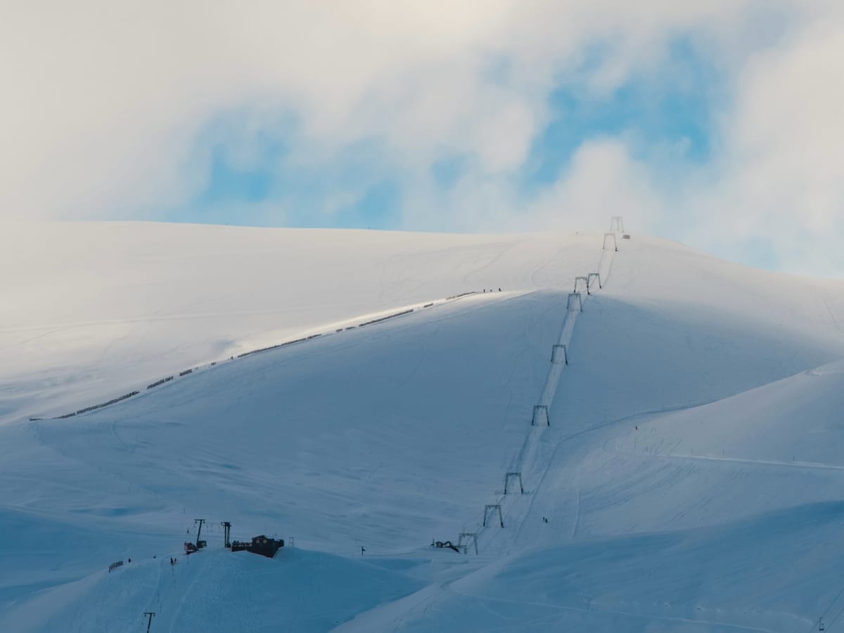
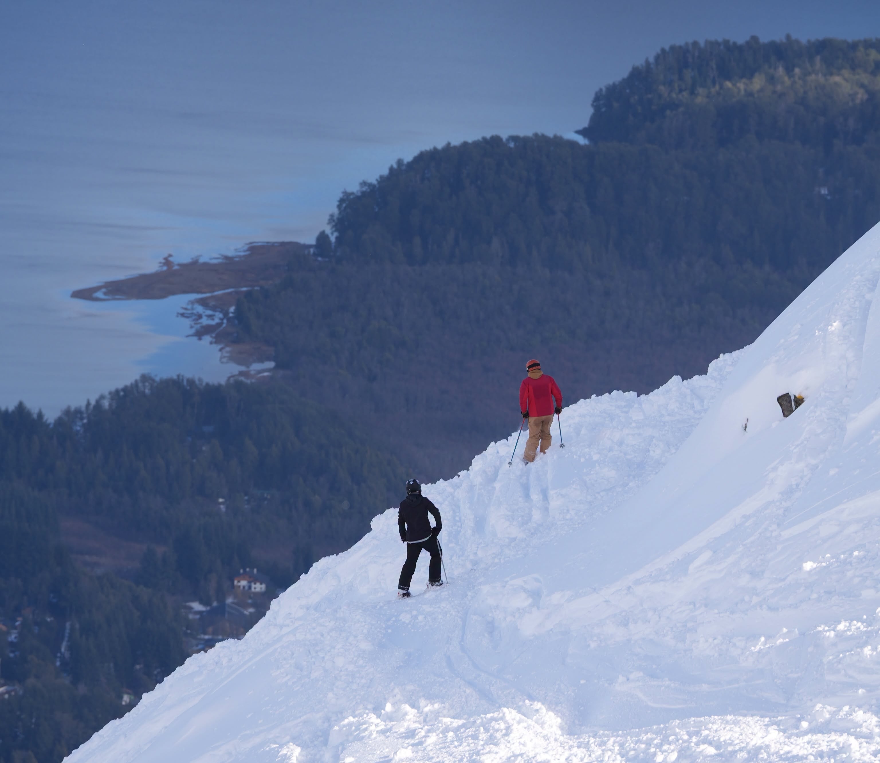
- South America: Another week of heavy snow has delivered exceptional conditions across Chile and Argentina.
- Australia: Warm weather continues, with snowmaking keeping limited terrain open.
- New Zealand: Up to 40cm of fresh snow has most resorts 80–100% open.
- Southern Africa: Afriski remains in good shape with cold nights and mostly dry weather.
SOUTHERN HEMISPHERE INTRO
South America has enjoyed a second exceptional week, with Argentina and Chile completing a dramatic turnaround from a snow-poor start to the season to outstanding mid-winter conditions. Multi-metre snowfall over the past fortnight has delivered the world's deepest snow bases, expanded terrain significantly, and lifted much of the central and southern Andes to around or above seasonal averages, although clearing roads and slopes remains a challenge. Australia, by contrast, has endured another difficult week, with only light snowfall, well above-average temperatures and limited terrain despite continued snowmaking. New Zealand has had one of its best weeks of the season, with up to 40cm (16") of fresh snow and most terrain now open, while Southern Africa continues steady mid-winter operations with colder spells and occasional light snow.
AUSTRALIA REPORT
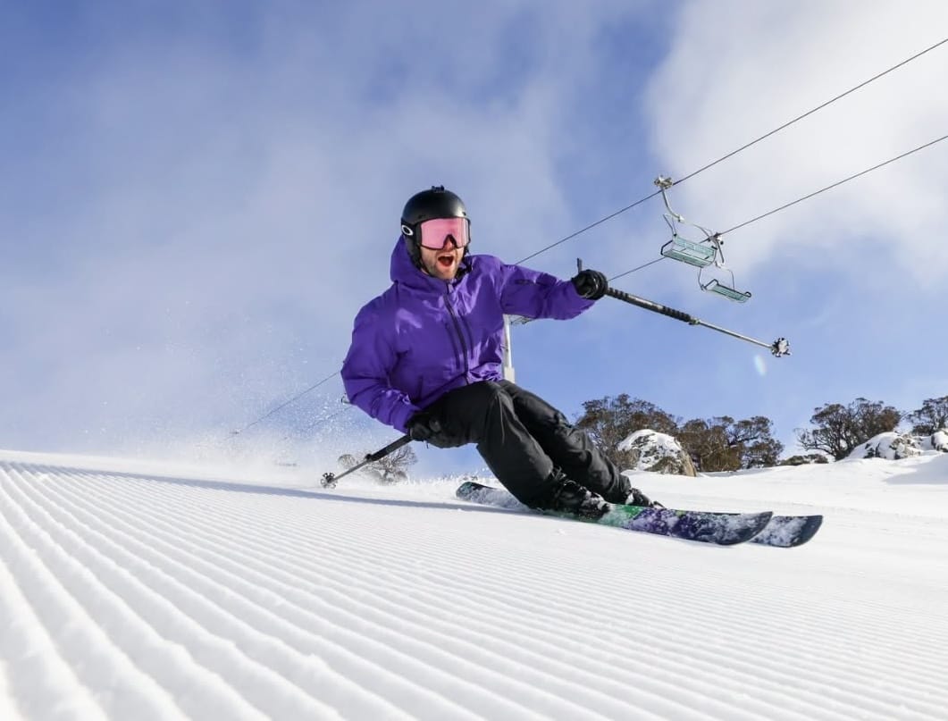
July ended without the turnaround Australia's ski areas had hoped for after a difficult June. Temperatures averaged around 12°C above normal, although 10–15cm (4–6") of fresh snow and regular overnight snowmaking helped maintain and, in some cases, slightly expand terrain. Thredbo (30/45cm / 12/18") and Perisher (45/70cm / 18/28") now have about one-third of their slopes open, Falls Creek (30/40cm / 12/16") and Hotham (30/40cm / 12/16") around 20%, while most other resorts remain at 10% or less.
AUSTRALIA FORECAST
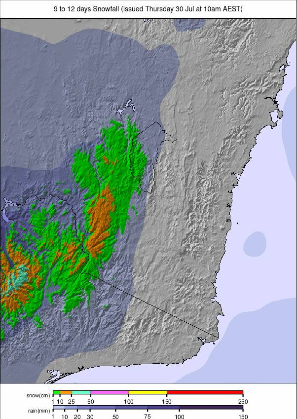
Another predominantly sunny, dry week is expected. Cold nights will continue to support snowmaking, while daytime temperatures of 6–10°C keep conditions mild. No significant natural snowfall is forecast, with firm morning snow softening through the afternoon.
NEW ZEALAND REPORT
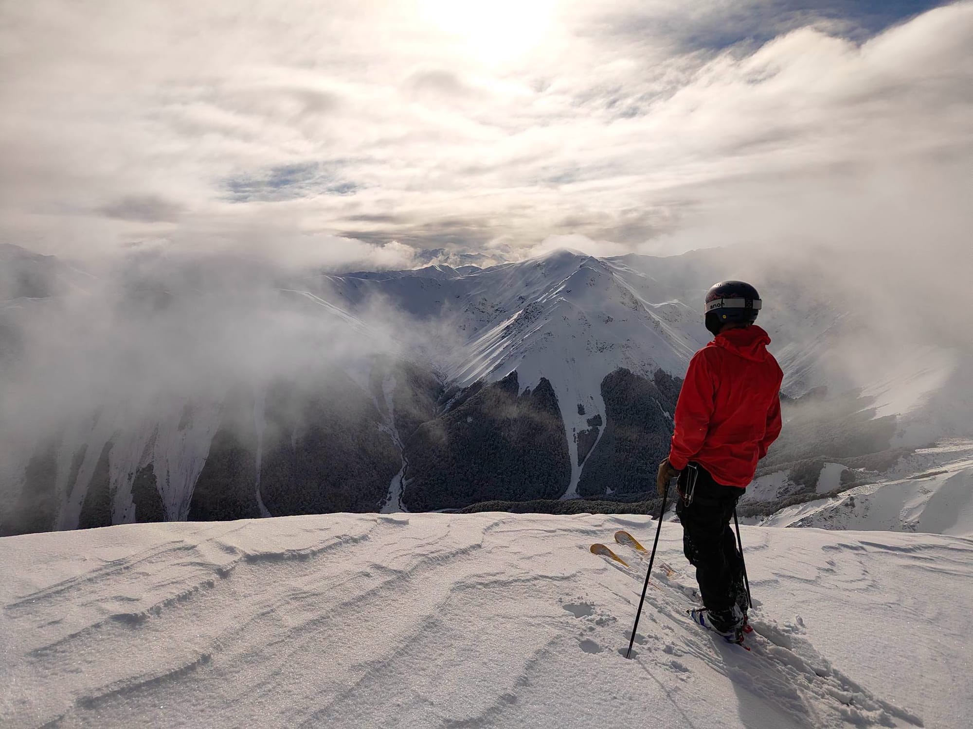
New Zealand enjoyed its best snowfall for several weeks, with up to 40cm (16") falling on Friday and Saturday, setting up excellent powder conditions on Sunday. Since then, weather has been mostly dry, with temperatures between about –6°C and +8°C. Most ski areas now have 80–100% of terrain open. Cardrona (35/40cm / 14/16") reports 95% open, while Mt Hutt (81/140cm / 32/56") has the country's deepest snowpack and just under 90% of terrain open.
NEW ZEALAND FORECAST
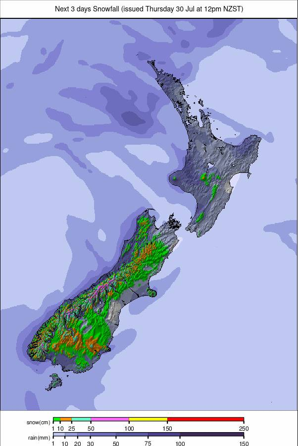
Snow is expected over the next 24–36 hours before conditions become more settled, with sunny weather, light winds and freeze–thaw conditions through the weekend. Cold nights will keep surfaces firm before afternoon softening.
ARGENTINA REPORT
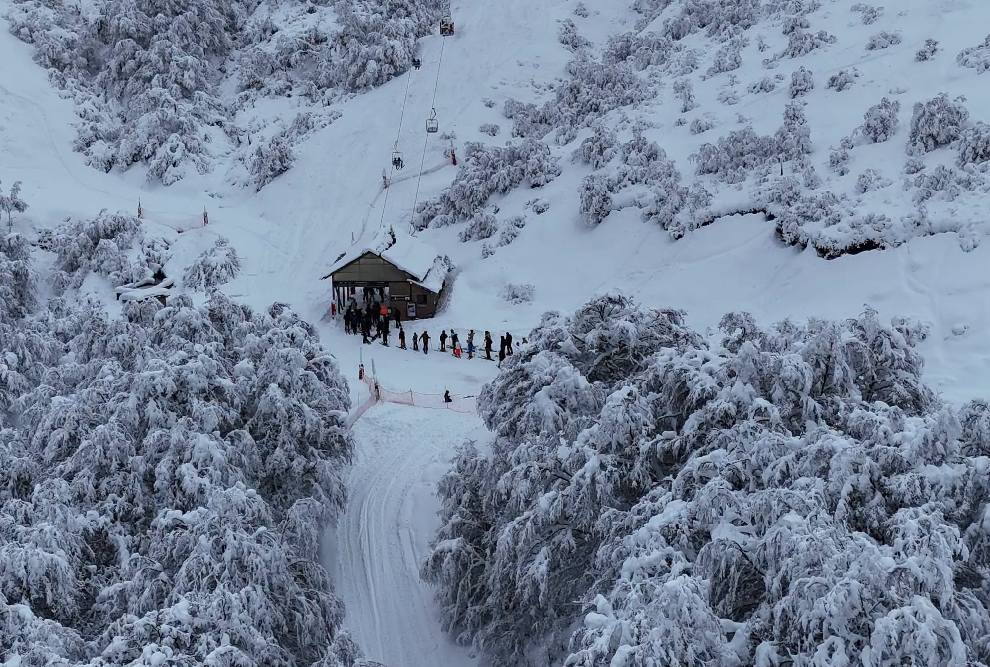
Argentina enjoyed another snowy week, with resorts receiving up to 50cm (20") over the weekend and a further 90cm (36") in places—more than 1m (40") over the past week at some areas. The snowfall has transformed conditions but also delayed expansion while slopes are secured and access roads cleared. Las Leñas (90/250cm / 36/100") has received several metres (7 feet+) of snow over recent weeks and is about 50% open. Cerro Castor (15/40cm / 6/16") has around 80% of its terrain open despite lighter snowfall than farther north. Cerro Bayo reports the recent storms have delivered the conditions it had been waiting for, with more terrain open, powder skiing and further snowfall forecast.
ARGENTINA FORECAST
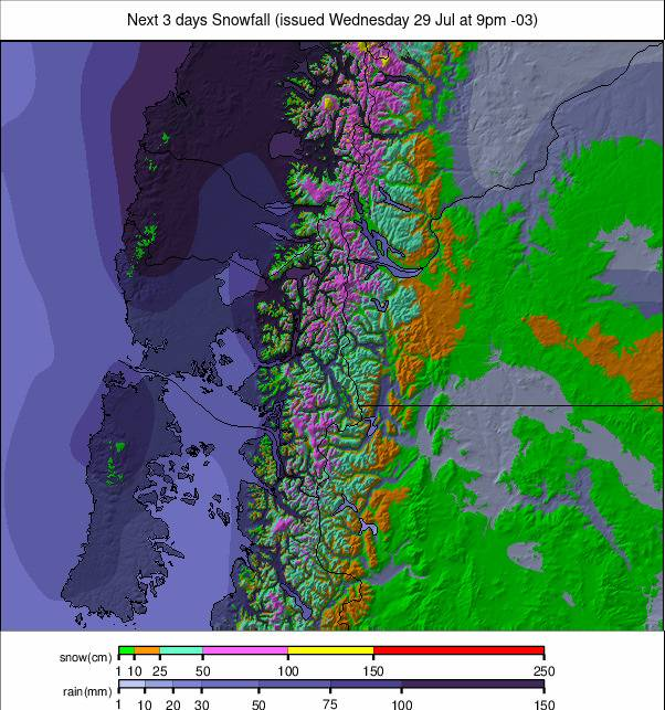
Frequent snowfall is expected across central and northern resorts including Catedral, Chapelco, Las Leñas and Caviahue, with continued sub-zero temperatures and further moderate to heavy accumulations. Farther south, including Cerro Castor and Cerro Martial, conditions remain colder but mostly drier, with only light snow showers expected.
CHILE REPORT
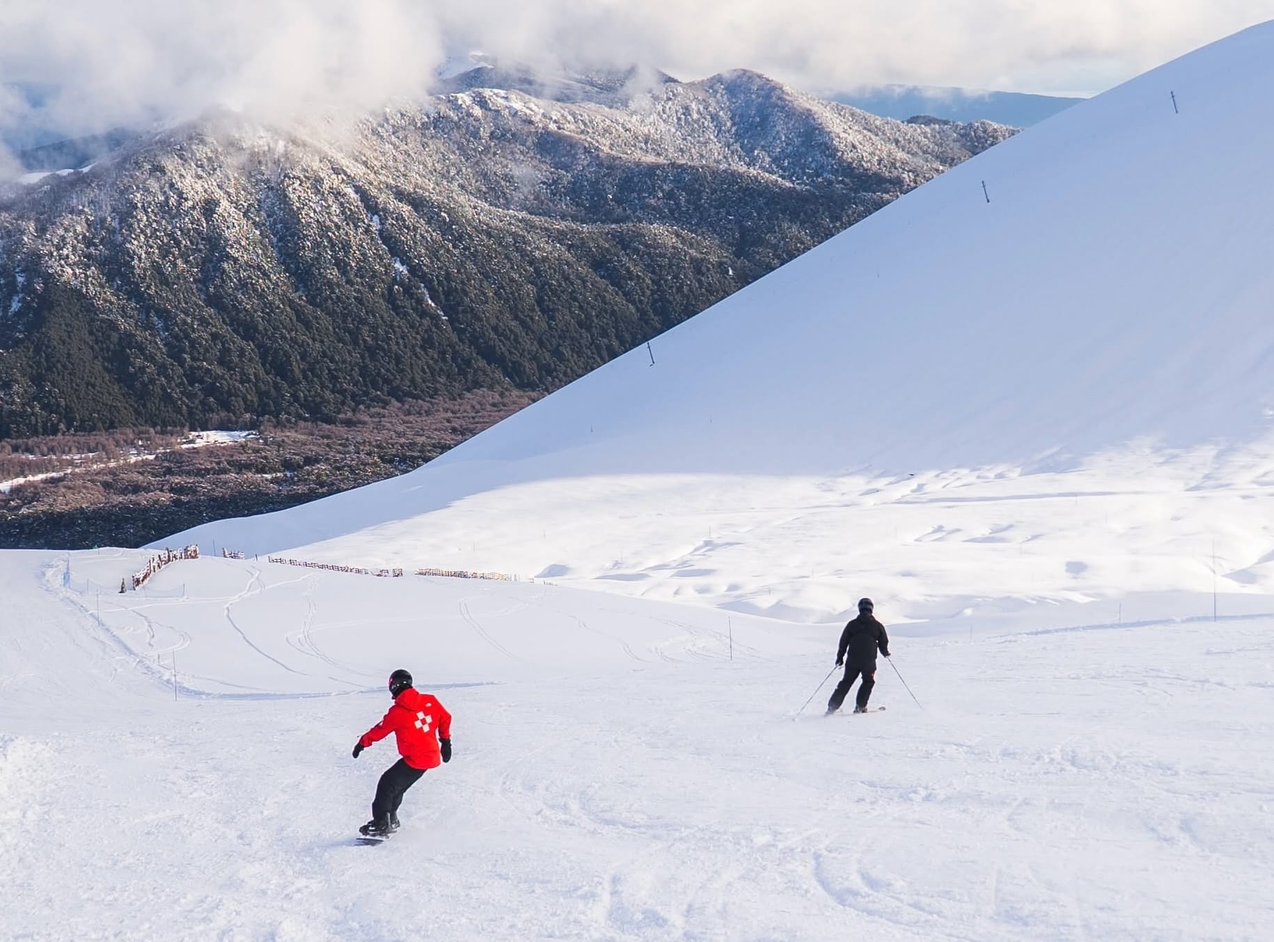
Chile's remarkable storm cycle has eased but has now lasted around two weeks, completely transforming conditions. Several resorts report receiving their average annual snowfall during that period and around ten times as much snow as they saw during the previous few months. Portillo has been the standout, passing 5.2m (17ft) of snowfall at the weekend and 6m (20ft) for the season on Monday, with 90% falling over the previous 11 days. Elsewhere, resorts continue expanding terrain. Valle Nevado received 3m (10ft) over the same period, including 155cm (62") in the past week, and now has all 13 lifts operating with 44 of 45 trails open.
CHILE FORECAST
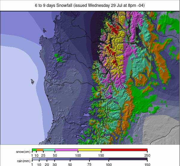
Snowfall continues this week, although lighter than recently. Central resorts including Valle Nevado, La Parva, El Colorado and Portillo should see intermittent snow, cold nights and milder days. Farther south, snowfall becomes more sporadic with some lower-level rain, while the deep south remains colder and more settled with only light snow.
SOUTH AFRICA REPORT
Afriski (20/40cm / 8/16") continues to enjoy dry mid-winter conditions, with clear skies, cold nights and a firm snowpack. Light snowfall midweek refreshed surface conditions. Temperatures range from about –3°C to +10°C, with plenty of sunshine and moderate winds.
SOUTH AFRICA FORECAST
A stable, mostly sunny week is expected, with overnight temperatures near 0°C and daytime highs in the low teens. No significant snowfall is forecast, although cold nights will preserve the existing snow cover, with light winds and reliable skiing conditions.