Southern Hemisphere Weekly Snow Roundup #337
Weekly Snow News for Southern Hemisphere, updated 22 October 2026: More snowfall in the Andes and New Zealand but only one centre remains open in each. Chile's Valle Nevado expected to be last area still operating in southern hemisphere.
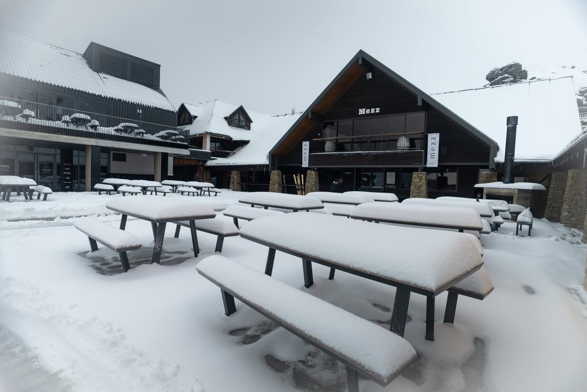
- Valle Nevado is the only area still operating in the Andes.
- South Island 2026 season ends in New Zealand, North Island area still open.
- More snowfall in Australia weeks after the often snowless season ended.
New Zealand Report
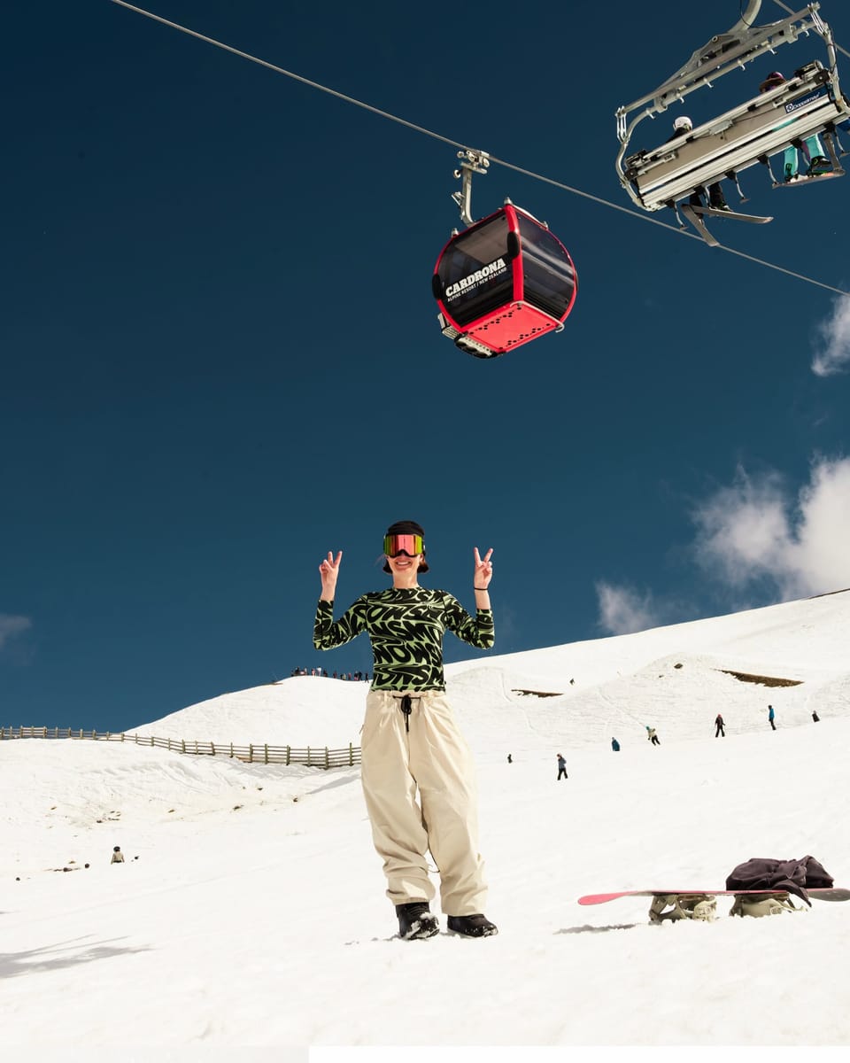
The season came to an end at the last centre open in the South Island, Cardrona, at the weekend. There had been a late-season surprise with 24 cm (9 inches) of fresh snowfall going into the weekend, then clear skies to enjoy it all for the final days. Having extended their season by a week, Cardrona was the last ski area in the South Island still in operation, with Closing Day last Sunday, October 18th.
Cardrona and Treble Cone Chief Mountains Officer, Laura Hedley, says it's been a season to remember. "We had a slow start waiting for winter to arrive, but when it did come, it was all on. We've had a massive winter welcoming guests from New Zealand, Australia, and further abroad, hosted world-class events like the Jossi Wells Invitational and The Snow League, and had a spring full of storms and top-ups of snow that saw us right through the end of the season."
North Island areas Whakapapa and Turoa, on each side of Mt Ruapehu, had been closed midweek but were reopening at weekends for final turns of the season. They have reported some good fresh snowfalls in the past week and have been opening higher terrain for more experienced skiers as we pass the midway point of meteorological springtime in the southern hemisphere. However Tūroa (0/108cm / 0/43”) is believed to be now the only centre still open.
New Zealand Forecast
Tūroa heads into the weekend with a mostly settled pattern, offering cold, dry conditions and only light, passing snow showers. Saturday stays crisp with highs near 10 °C at base level and around freezing up high, accompanied by moderate winds and long sunny spells. Sunday looks similar, though slightly cooler, with temperatures hovering close to 0 °C on the upper mountain and a continued low chance of meaningful precipitation. Overall, expect a bright, chilly weekend with firm snow surfaces, occasional cloud build‑ups, and limited new snowfall.
Chile Report
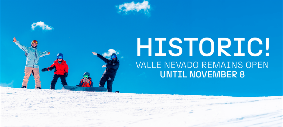
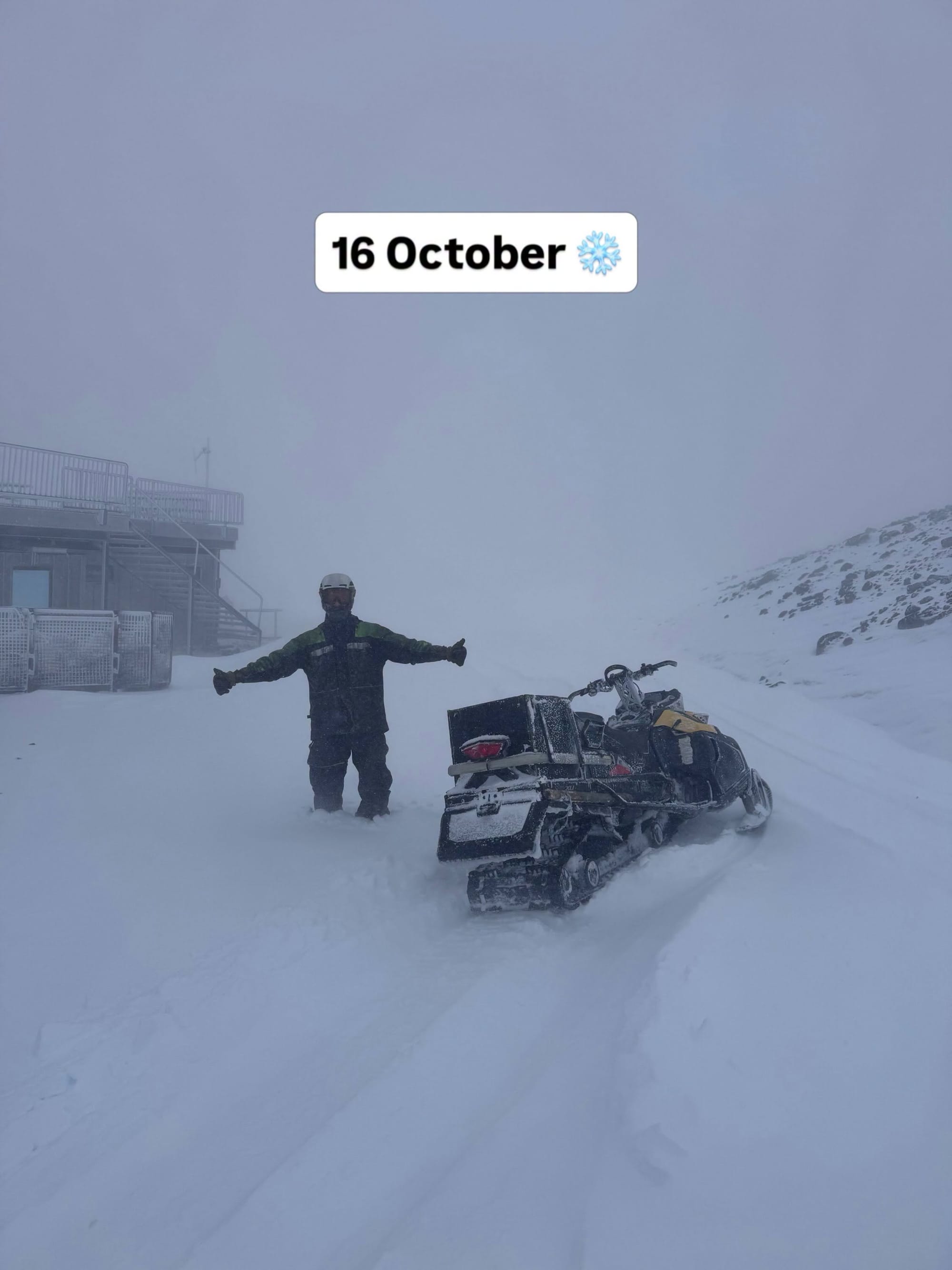
Some last-minute announcements of season extensions going into last weekend meant Chile actually had more centres open than New Zealand over the past week – a rare occurrence going past mid-October, but then this past winter, after its poor start, has been exceptional in the Andes. Corralco (140/495cm / 52/198"), with its exceptionally deep cover, was the latest to announce a season extension, joining the three resorts that make up the '3 Valleys of The Andes'. East of Santiago: Valle Nevado (90/180cm / 36/72"), El Colorado (50/130cm / 20/52") and La Parva (20/60cm / 8/24"). These linked areas were still reporting over 100km (63 miles) of slopes open between them last weekend, still the most in the world (with 50km/31 miles the most for a single resort too in El Colorado's case), even though the number of areas open in the northern hemisphere outnumbers those still going in the southern by three to one. Unless there are further season extensions, though it's just Valle Nevado planning to keep going for another two-and-a-half weeks to November 8th. The weather has been ever more springlike, with warm afternoons but still overnight freezes and further fairly significant snowfalls.
Chile Forecast
Valle Nevado sees a mixed week of springlike weather, with early‑period flurries giving way to brighter, warmer days. Light snow showers linger through Thursday and Friday, with summit temperatures around –7 to –2 °C and occasional gusty winds. Skies gradually clear into the weekend, bringing a sunnier, more stable pattern and daytime highs climbing well above freezing. Early next week looks mostly dry and bright, with only brief cloudy spells and minimal precipitation risk. Overall, expect a transition from unsettled, wintry conditions to a calmer stretch dominated by sunshine and mild afternoons.