Europe Weekly Snow Roundup #340
Weekly Snow News for Europe, updated 6 November 2026: 20 ski areas now open in the Alps; Solden is the first in the northern hemisphere to report more than 50km/30 miles of runs open; Gstaad, Kitzbuhel and Verbier among ski areas opening for 26-27 seasons last weekend.
- 20 ski areas now open in the Alps.
- Sölden is the first in the northern hemisphere to report more than 50km/30 miles of runs open.
- Gstaad, Kitzbühel and Verbier among ski areas opening for 26–27 seasons last weekend.
Austria Report
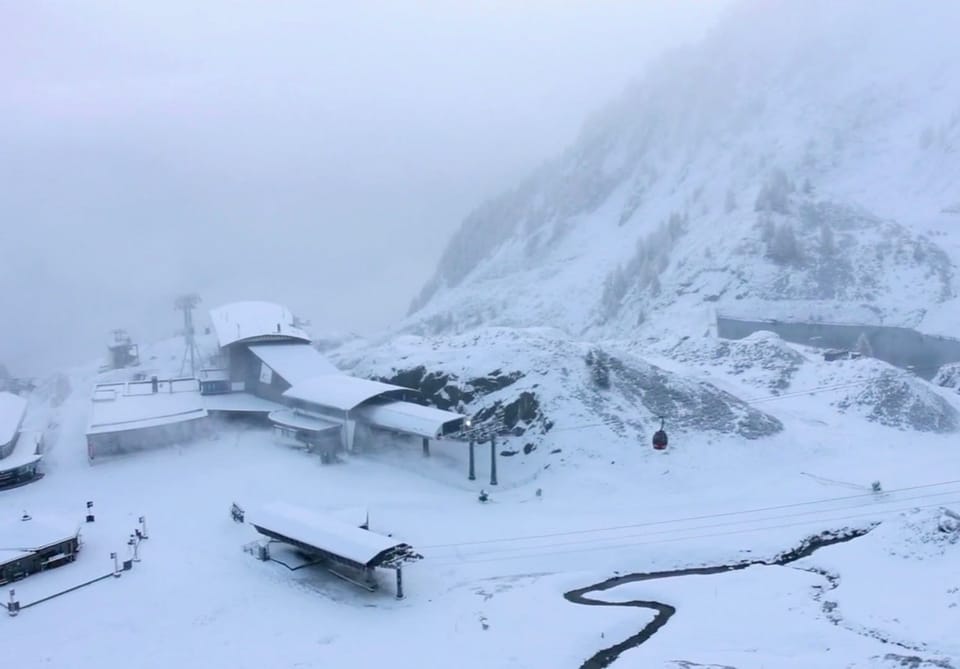
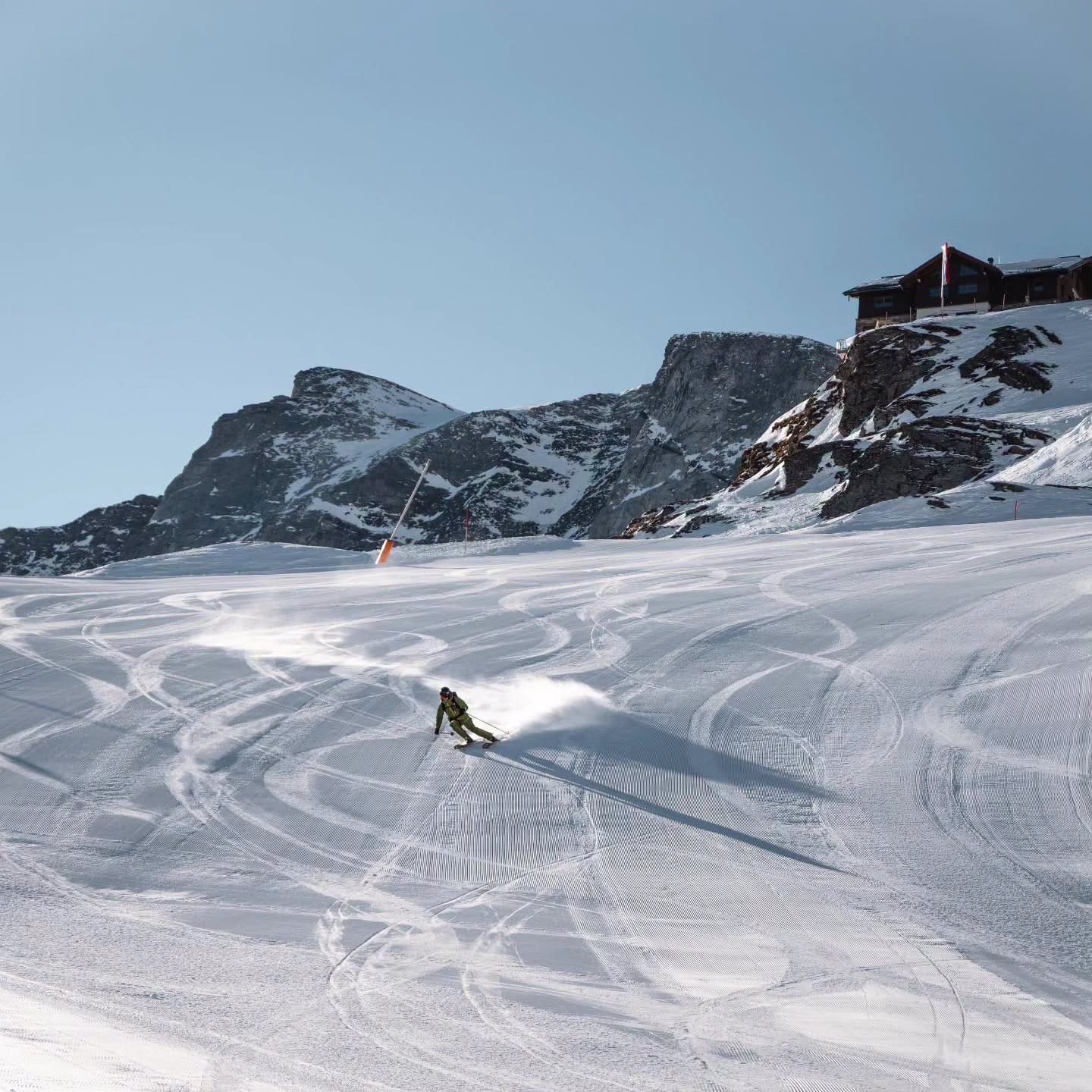
Kitzbühel (0/20cm / 0/8”) became Austria's first ski area without glacier to open terrain last week, using its annual snowfarming operation on its north-facing Resterkogel slopes to create around a kilometre of snow-covered piste. The terrain is currently being used mainly by race teams preparing for the winter ahead with limited public access for now. Elsewhere, Austria now has seven glacier ski areas operating, with Mölltal (0/50cm / 0/20”) the latest to join the list with 6km (4 miles) of runs open. The two newly opened areas puts Austria on eight areas open, the same as Switzerland and the US. Sölden remains the country's pace-setter and currently boasts 52km (32 miles) of trails open already, the largest amount of ski terrain available worldwide. Hintertux (0/45cm / 0/18”) is up to 34km (21 miles), the second most in the country/world. Weather conditions over the past seven days have provided limited help for most Austrian resorts looking to establish an early-season base, with freezing levels climbing from under 1,400m to more than 2,500m. Although sunshine has dominated, most precipitation has fallen as rain across the majority of Austrian ski areas. That said at glacier level temperatures have mostly remained below freezing and they have had snowfall.
Austria Forecast
Austria’s mountains look set for a mixed week, starting mild before a colder front arrives late this week. Rain and high-altitude snow are expected on Thursday, with snow initially confined above around 2,300m. By Friday, much colder air should see snow levels drop dramatically, reaching 800–1,000m in many northern Alpine regions and locally even lower. Higher resorts and glaciers could see 20-40cm (8-16") of fresh snowfall over the coming week, with some of the biggest totals forecast for areas including Hintertux, Kitzsteinhorn and Sölden. Conditions then look brighter and colder over the weekend, helping preserve new snow on upper slopes.
France Report
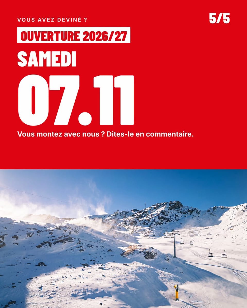
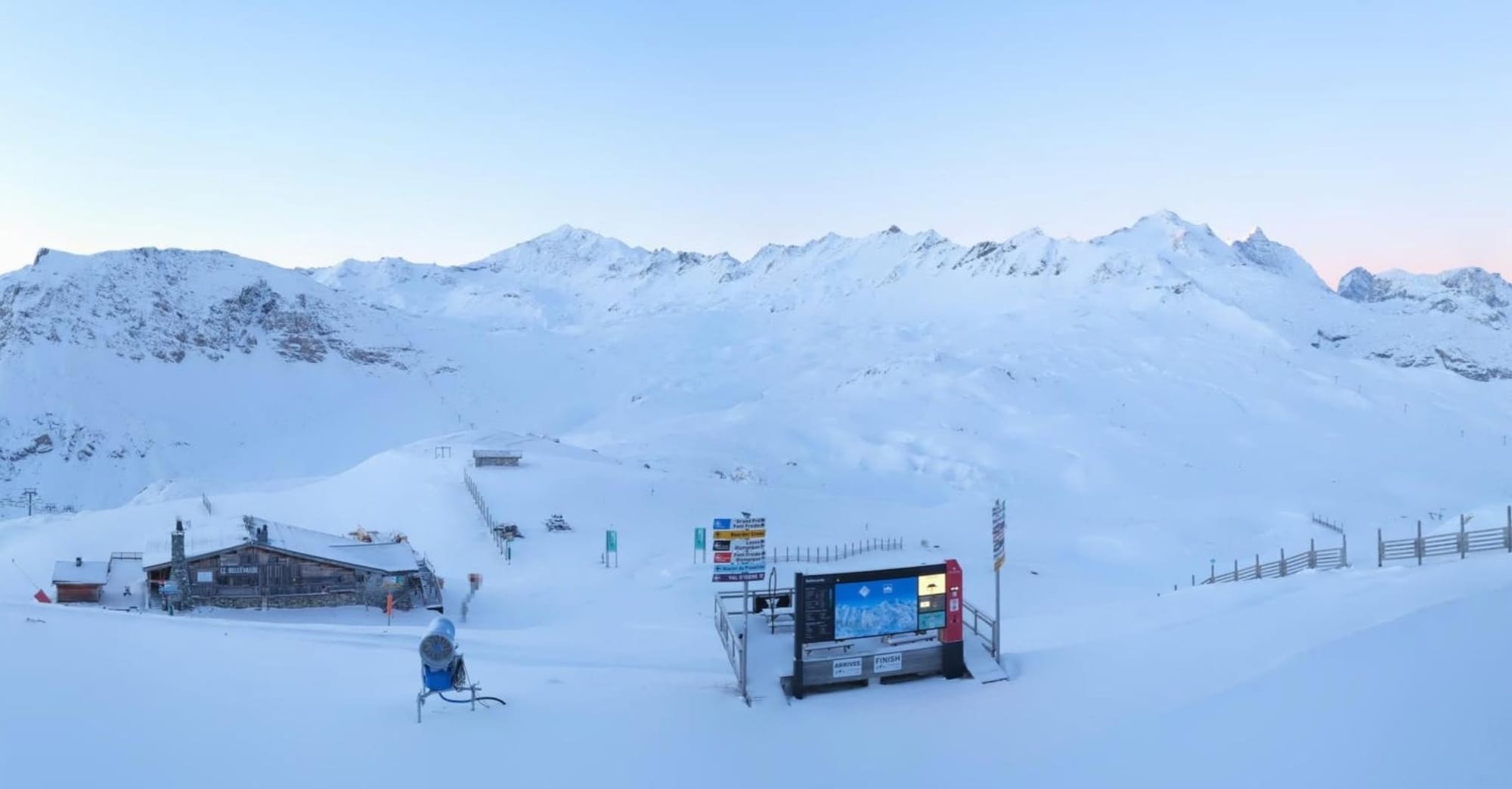
The past week has been relatively settled across the French Alps after earlier storms delivered significant accumulations on high ground and, at times, lower slopes. Milder conditions have reduced snow cover below about 2,000m, although higher elevations have continued to pick up light snowfall. France's ski season has yet to begin, with Tignes and Val Thorens both targeting opening dates in just over a week's time on 21st November.
France Forecast
France's Alps should see a fairly unsettled week, with mild conditions initially keeping the snow line high, generally around 2,300–2,700m through Thursday. Rain is likely at lower and mid elevations, while the highest slopes pick up fresh snow. A colder front arriving late Thursday into Friday is expected to bring a sharp drop in temperatures, with snow levels falling towards 800–1,200m across parts of the western Alps. The biggest snowfall totals are forecast for high-altitude terrain at resorts including Alpe d’Huez, Les Deux Alpes, Chamonix and Val Thorens, where 40-80cm of new snow is possible over the coming week. Conditions should then turn colder and more seasonable, helping preserve snowfall on upper pistes and glaciers.
Italy Report
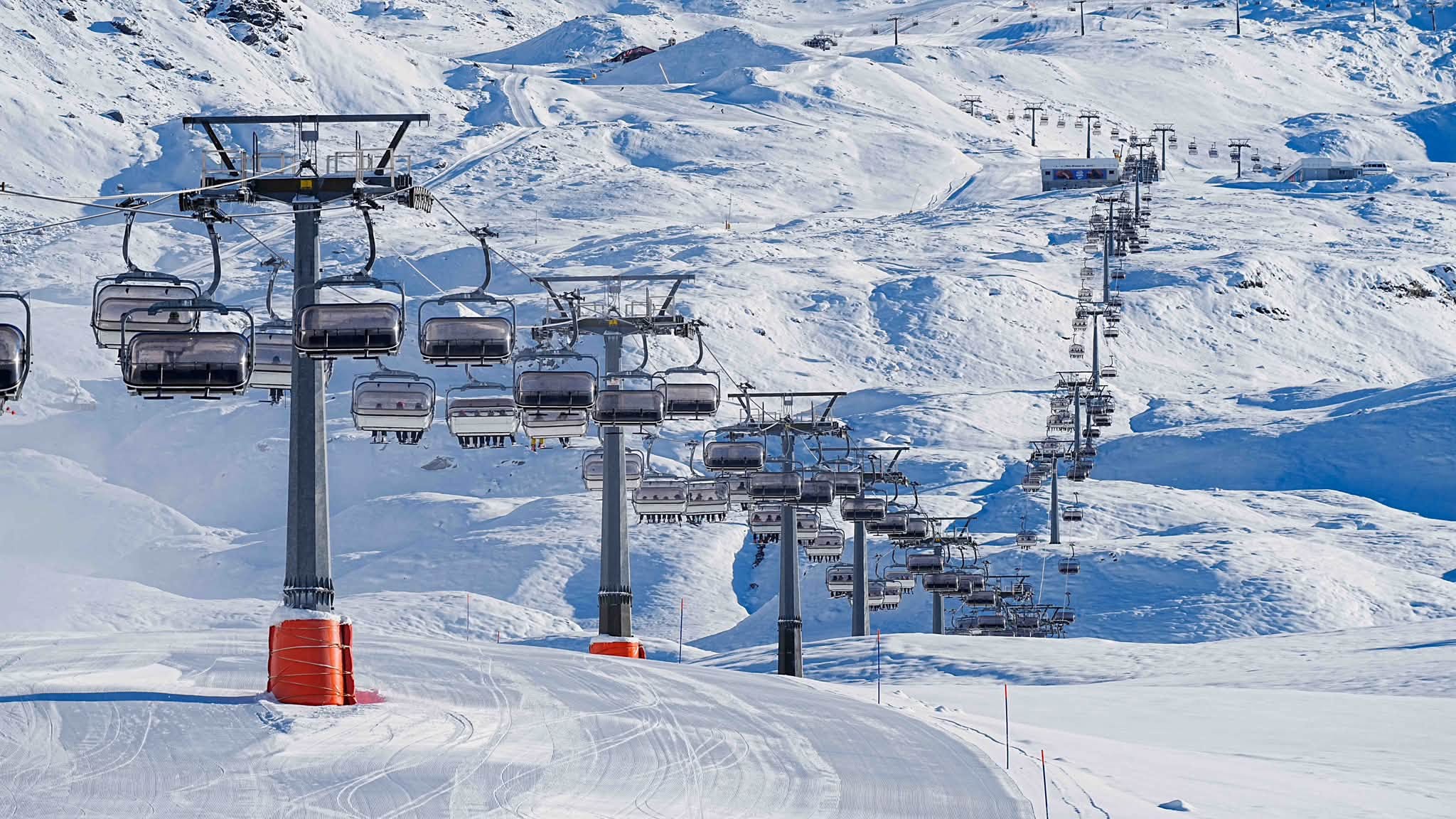
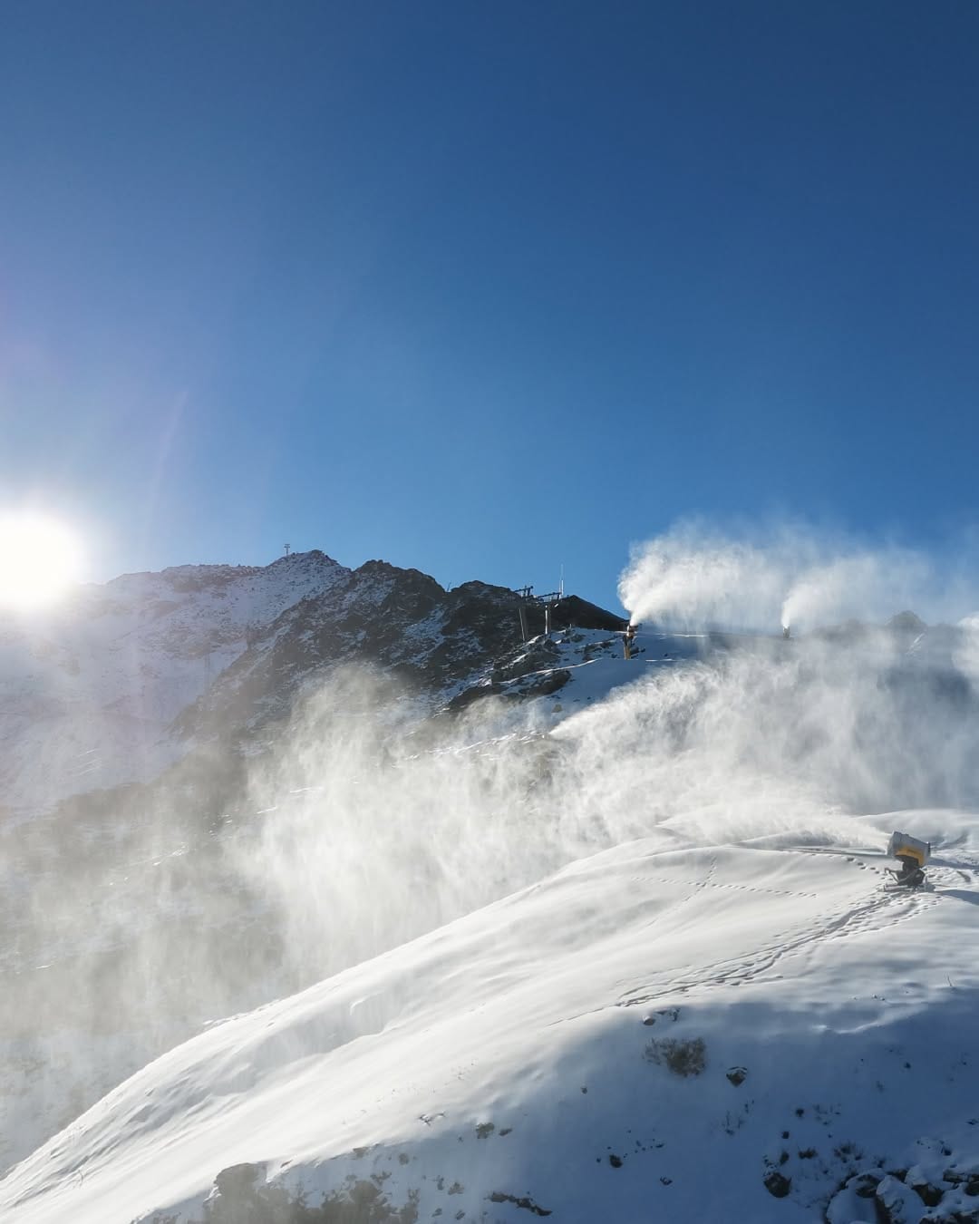
After some significant snowfall at the end of last week in the southwest, its been a mostly dry and sunny week across Italy, with the freezing point between 1500 and 2500m. Temperatures have been fairly cold and snowmakers have been fired up in the Dolomites. Italy has three centres open with Passo Stelvio, the country’s summer ski-only resort that was the only centre open in the Northern Hemisphere in parts of September, ending its 2026 run at the weekend. Cervinia (5/30cm / 2/12”) has the most terrain accessible from the country at present with 32km (20 miles) of runs. You can also ski right now at recently-opened for 26–27 Sulden (0/40cm / 0/16”) and at Val Senales (0/50cm / 0/20”).
Italy Forecast
Italy’s mountains face a mixed week of unsettled weather. The heaviest precipitation is expected across the Dolomites and eastern Alps from Thursday into Friday, although very mild air will keep the snow line high at first, generally above 2,300–2,700m. Rain is therefore likely for many mid-mountain slopes before cooler air arrives late in the week. As temperatures fall, snow levels should gradually drop to around 1,000-1,500m in places by early next week. Higher terrain above 2,000m could see 20–40cm of fresh snowfall, with some forecasts suggesting even greater accumulations on the highest Dolomite peaks. Conditions are then expected to become colder and brighter over the weekend, helping preserve snow cover on glaciers and upper slopes.
Switzerland Report
After some US ski areas that had been expected to open at the weekend didn’t open, Switzerland moved into joint first spot with Austria for areas open as Verbier and Glacier 3000 got their lifts spinning for the first time this season on Saturday. Verbier (0/20cm / 0/8”) opened with just about a kilometre of piste initially, Glacier 3000 near Gstaad posted 6km (four miles) of runs. It’s been a fairly typical autumn week, the freezing point up at around 1800-2600m, temperatures ranging from +5 to -7C in valley, plenty of dry weathers but also rain, sleet and light snow showers depending on attitude/time of day. At least half of the eight Swiss areas that have started their seasons say they are only opening at weekends through November. Most Swiss areas only have a few kilometres/miles skiable so far although Saas-Fee 90/ 60cm / 0/24”) and Zermatt (5/25cm / 2/10”) are both at nearer 30km/19 miles of runs open already, some of the largest areas open in the world right now. After the snowfall on high terrain in Eastern Switzerland last week, it’s the west that has been faring best this, with about 25cm (10”) of weekend snowfall on higher slopes there. Andermatt (Gemsstock) and Davos (Parsenn) are lined up to start their seasons this coming weekend.
Switzerland Forecast
The Swiss Alps are set for another changeable week. Mild, moist air will keep the snow line high through Thursday, generally around 2,300m, with rain at lower elevations and snowfall restricted to the highest slopes. A colder front is then expected to sweep across the country late Thursday into Friday, bringing heavier precipitation and lowering snow levels sharply to around 800–1,200m across many northern Alpine regions. The biggest snowfall totals are expected on high terrain, particularly above Verbier, the Jungfrau Region, St. Moritz and Zermatt. Many resorts could see 20–50cm of fresh snow, while some of the highest areas may collect considerably more. Colder temperatures over the weekend should help preserve conditions ahead of further unsettled weather early next week.
Scandinavia Report
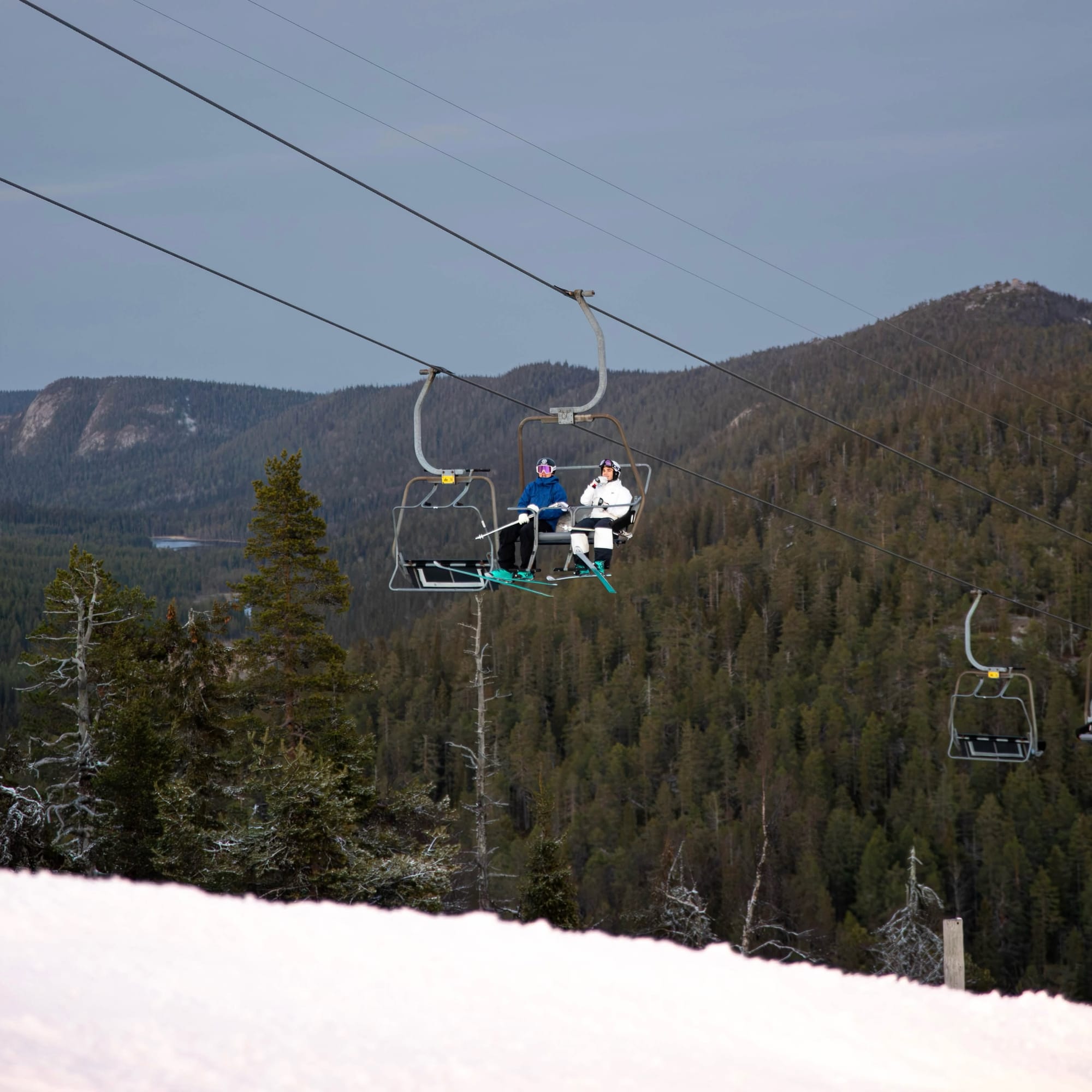
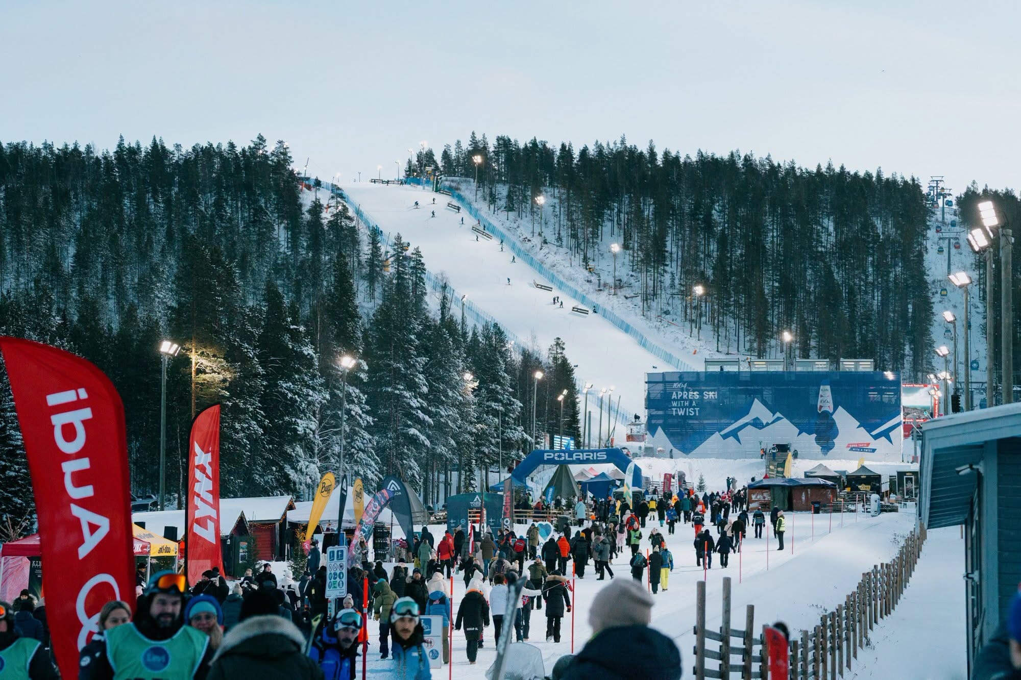
There are now half a dozen ski areas open in Scandinavia, most in the north of the region and thanks to their snow-farming efforts used to build bases for short 1–2km of downhill slopes, plus usually cross-country trails and a terrain park too. Sweden’s Tärnaby (0/30cm / 0/12”) and Kåbdalis (0/40cm / 0/16”) are amongst the latest to open, joining Idre Fjäll (0/30cm / 0/12”). In Norway, other than the SNO indoor centre near Oslo it’s just the Galdhøpiggen (15/60cm / 6/24”) summer ski area still operating in the final weeks of its season which has reported 20cm (8”) of fresh snowfall. There’s also Levi (0/30cm / 0/12”), which hosts the next round of the FIS 26–27 Alpine Skiing World Cup this weekend, and Ruka (0/30cm / 0/12”) in Finland, both now into the second month of their 26-27 seasons already. The past week has brought a lot of dry weather to the region with sunshine during the fast-declining daylight hours at these northerly latitudes. There have been some showers, though and with temperatures mostly ranging between +5 and -%C, these have fallen as a mix of rain, sleet and snow. Overnight lows have been cold enough for snowmaking at times.
Scandinavia Forecast
Scandinavia’s ski regions are looking increasingly wintry, particularly in the north. Resorts already operating, including Levi and Ruka in Finland and Idre Fjäll in Sweden, should remain predominantly below freezing, with temperatures often staying between -2°C and -10°C. Snow showers are forecast at times, especially across Finnish Lapland, with snow falling to resort level throughout the week. Accumulations are not expected to be huge, generally a few centimetres at a time, but the consistently cold temperatures will help preserve existing snow cover and aid snowmaking efforts. Sweden’s mountain areas should also stay cold enough for reliable early-season conditions, with settled weather and occasional light snowfall helping maintain the base ahead of further resort openings later this month.