
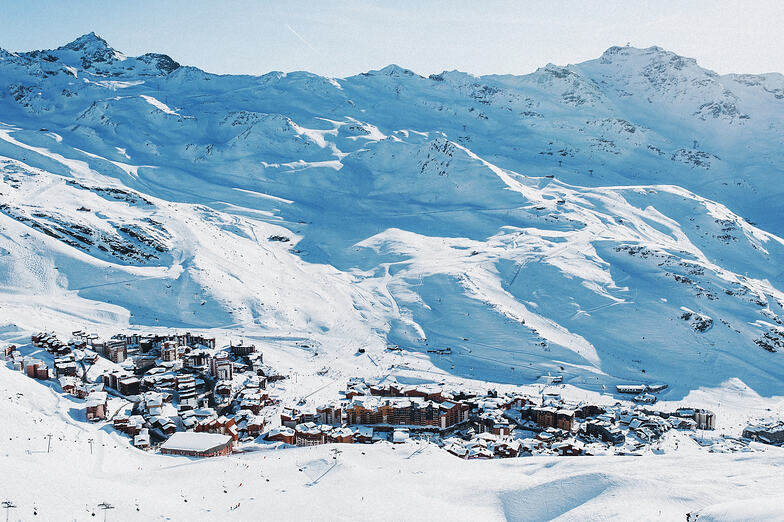


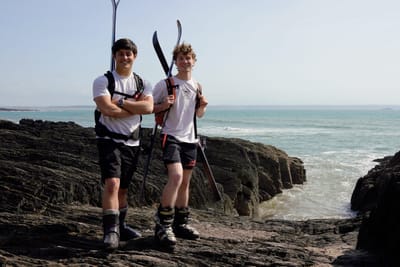
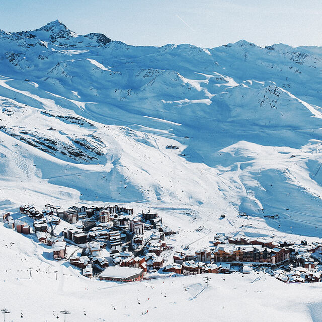
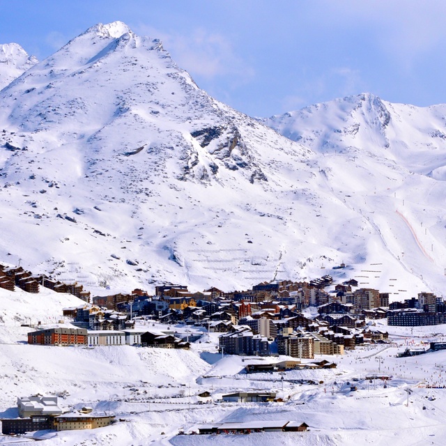
Fundraisers Walking From London To Highest Ski Resort in the Alps in Ski Boots
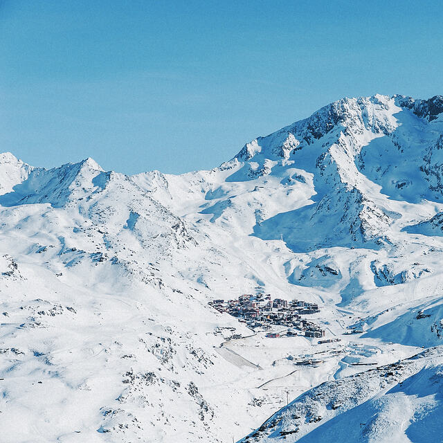
Two friends, Reuben Gray and Matt Brinkley, are planning to walk 801 miles from London to the highest ski resort in the Alps, Val Thorens, wearing ski boots and ski clothing, in a charity fundraiser.


 Nearest