Europe Weekly Snow Roundup #339
Weekly Snow News for Europe, updated 6 November 2026: More than 20 areas open in the Alps this weekend with Kitzbuhel and Verbier among resorts starting their 260-27 seasons; temperatures drop and fresh snowfall reported across the Alps.
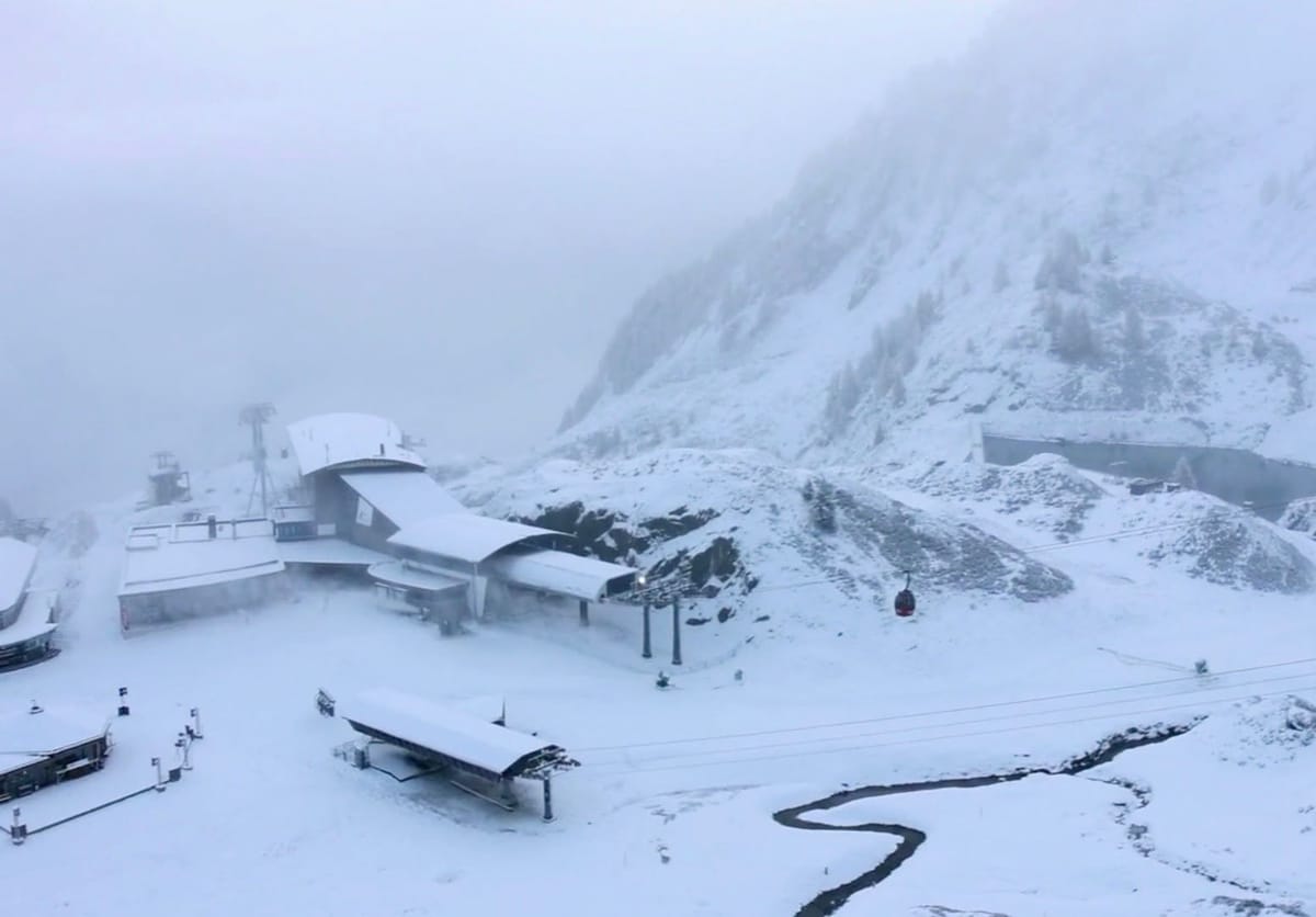
- Kitzbühel the first non-glacier centre in Austria due to open for 26-27 season this weekend.
- Fresh snowfall for central and eastern Alps and across eastern European mountains.
- Verbier expects to be the 8th Swiss area to open for the 26-27 season, this Saturday.
- Fresh snowfall reported in the Pyrenees.
Austria Report
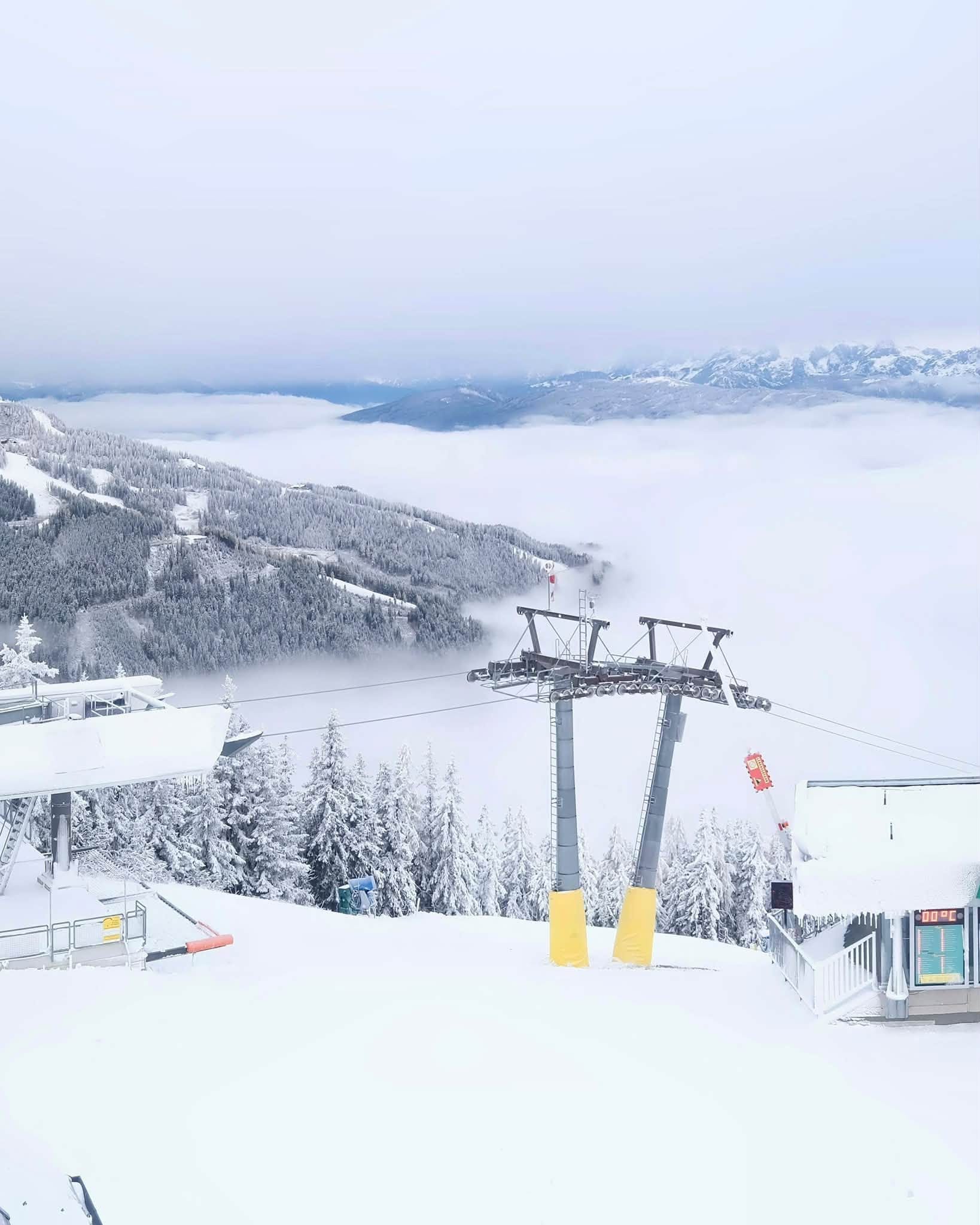
Austria continues to lead the way on areas open, just about with six glaciers already operating and two more areas set to open this weekend. It should just about stay ahead of Switzerland but may be overtaken by the US for numbers of resorts open. In terms of conditions, the weekend brought snowfall down to quite low altitudes across Austrian slopes, making things feel a little more wintry. The six already open resorts have been adding terrain, with Sölden (0/50cm / 0/20”) leading the way on about 36km (24 miles) now, around a quarter of its full area. Hintertux (0/45cm / 0/18”) isn’t far behind with about half it slopes or 32km (20 miles) of runs already open. The centres opening this weekend are the Mölltaler Glacier in Carinthia and, thanks to snowfarming, the first non-glacier slopes in the Alps for the new season, a few kilometres of runs at Kitzbühel's Resterkogel.
Austria Forecast
Austria’s ski regions look set for a largely settled week, with the best wintry conditions continuing on glacier terrain and the highest slopes. Dry, sunny weather will dominate through much of the period, although weak fronts may deliver light snowfall to western ranges including the Arlberg, Ötztal and Silvretta Alps. Freezing levels are generally expected to sit between 1,800m and 2,400m, occasionally dropping lower as fronts pass, allowing fresh snow to reach some mid-mountain elevations. Snowfall totals are not expected to be especially large, but higher resorts such as Ischgl, Obergurgl, Hintertux and the Arlberg region should pick up a few centimetres of fresh snow. Glacier areas are likely to remain the main beneficiaries, with colder temperatures at altitude helping preserve existing cover while lower slopes continue to experience milder autumn conditions.
France Report
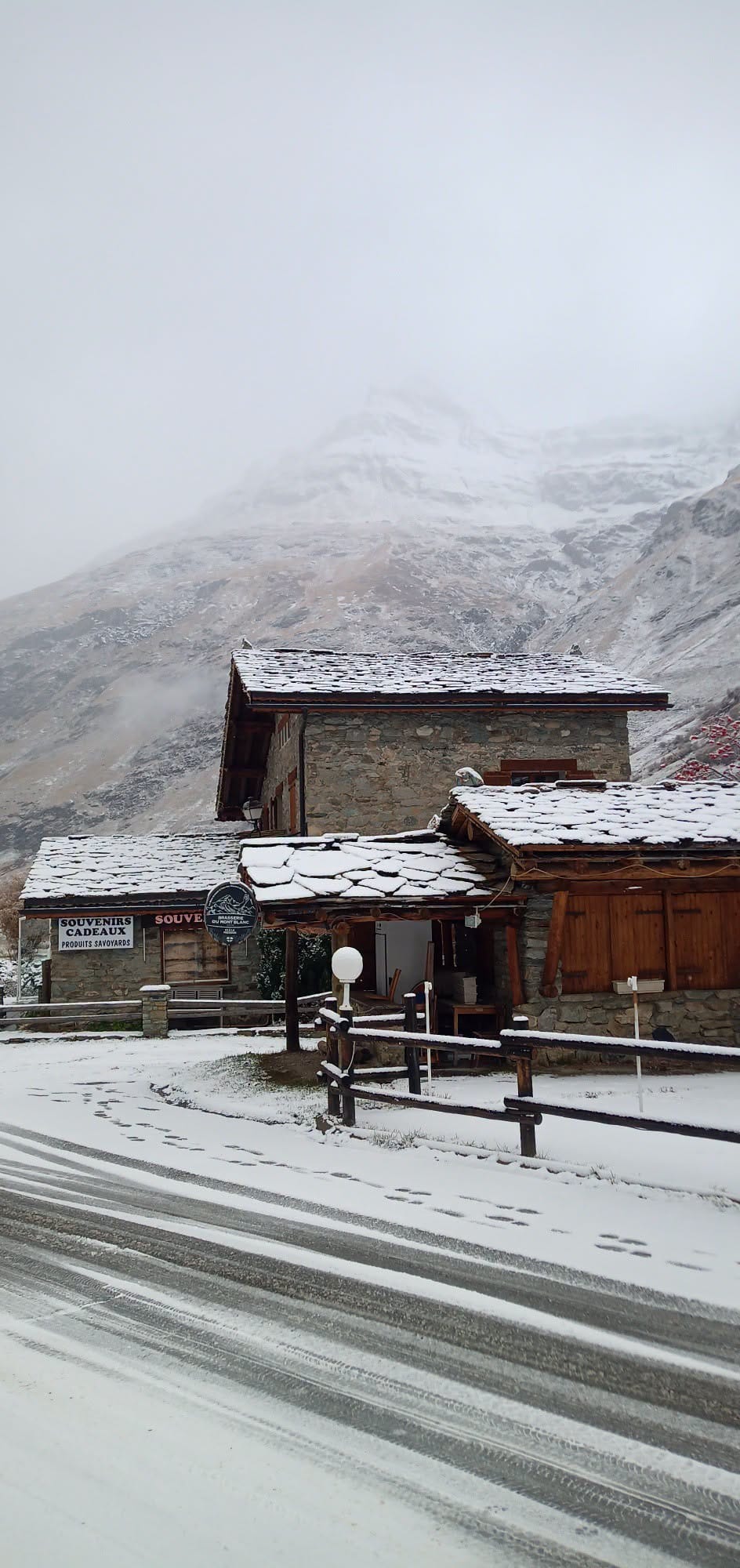
The French Alps have had a predominantly dry and sunny week, but it has been getting colder, with the freezing point dropping to lower elevations. On Wednesday, fresh snowfall was reported down to lower elevations, with resorts as low as 1200m reporting fresh snowfall at village level. Tignes and Val Thorens are expected to be the first centres in the country to open in just over a fortnight on the 21st.
France Forecast
Although conflicting factors may impact the reality, French ski areas should see one of the snowier outlooks in the Alps over the coming week, particularly across higher terrain in the Northern and Southern Alps. A series of disturbances is expected to bring snowfall from late this week into early next, with the heaviest accumulations forecast above 2,000m. Snow lines are likely to fluctuate between 1,400m and 2,000m during the colder spells before rising again at times early next week, meaning the best gains will be on upper slopes and glacier sectors. Some of the largest totals are currently forecast for more southerly resorts including Les Deux Alpes, Alpe d’Huez, Chamonix and Isola 2000, where 20-35cm of fresh snow is possible on higher mountains.
Italy Report
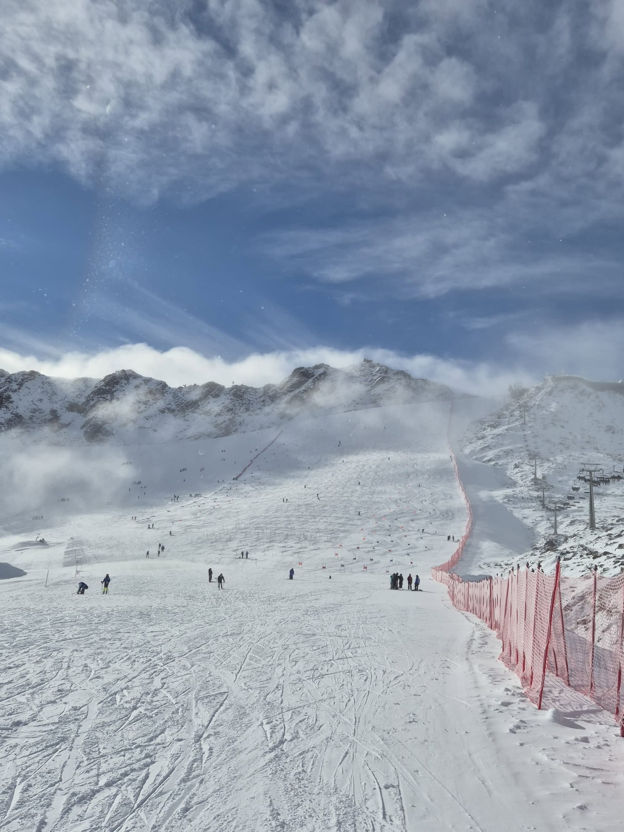
It's been a better-than-forecast week for some Italian centres, with Cervinia (0/25cm / 0/10”) reporting “unexpected snowfall” on Tuesday as moist air bringing rain at lower elevations was pushed up the slopes. There are currently three centres open, but Sulden, which delayed its planned opening last weekend, is expected to be a fourth option from this coming weekend. The season is winding down at the Stelvio Pass (0/50cm / 0/12"), which was the only centre open in the northern hemisphere for a period in September. It's still reporting the deepest snow in the country.
Italy Forecast
After a largely dry and bright spell in Italian mountains through Thursday, fronts moving in from the west are expected to bring fresh snowfall to higher terrain from late Friday into the weekend. Snow lines should typically fall to around 1,500-2,000m during the colder periods, allowing accumulations on many upper slopes, before rising again above 2,200m early next week as milder air returns. The strongest snowfall is currently forecast for resorts in the Aosta Valley and Via Lattea region, with areas including Courmayeur, La Thuile, Sestrière and Bardonecchia expected to see some of the largest totals. High-altitude destinations such as Cervinia should also continue to benefit, with snowfall largely focused on upper mountain sectors and glacier terrain as freezing levels trend higher after the weekend.
Switzerland Report
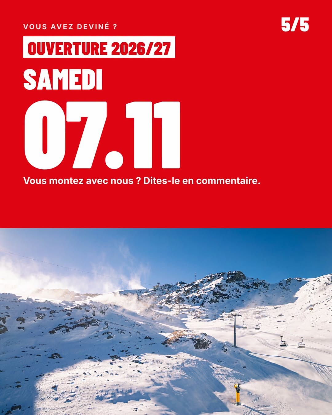
Swiss resorts are vying with Austrian and American resorts to offer the most choice through November. After Mürren opened a run thanks to snow-farming last weekend, Verbier will launch its 2026-27 ski season on Saturday, 7 November, opening the Lac des Vaux sector with weekend operations throughout November. Early opening day visitors will receive free coffee and croissants, while The Flocon Restaurant and Médran Café will also open. Discounted lift passes will be available for the limited terrain. The resort delayed its planned Halloween opening due to warm, dry weather, but recent sub-zero temperatures and fresh snowfall have allowed operations to begin. Verbier’s opening means Switzerland will have at least eight resorts open from this weekend, although more than half of these are currently only open at weekends. The past week has seen mostly sunny weather, although the past 24 hours have become increasingly unsettled, with light snowfalls reported on high terrain across the country.
Switzerland Forecast
Switzerland’s mountains look set for a mixed but generally positive week ahead, with the best conditions on higher slopes. A mostly dry and sunny start, aided by periods of föhn, will keep freezing levels around 2,000m or slightly above through Thursday before a colder front arrives late Friday. Precipitation is expected to develop over the weekend with snow lines dropping to around 1,600-1,700m, allowing accumulations on mid and upper mountain terrain. The greatest snowfall totals are forecast for the higher Alps, including the Jungfrau region, Valais and parts of central Switzerland, where 10- 20 cm accumulations are possible above 2,000m. Snow levels then rise again early next week, climbing towards 2,200-2,500m as milder Atlantic air returns, concentrating any fresh snowfall on the highest slopes and glacier sectors.
Scandinavia Report
High pressure has largely dominated conditions in Scandinavia this week with clear skies a lot of the time, although daylight hours continue to diminish fast as we move towards the winter solstice. Resorts have, though, been posting images of snowfall right down to the valley floor. There remain a handful of areas open already, most thanks to snow farming. In Finland, Levi (0/30cm / 0/12”) has warned that its cross-country loops created with all-weather snow have largely melted away in places, but its few kilometres of downhill slopes remain intact. Norway’s Galdhøpiggen glacier (0/60cm / 0/24”) has seen the coldest temperatures and most fresh snowfall.
Scandinavia Forecast
Scandinavia’s already-open ski areas should continue to enjoy generally cold and increasingly wintry conditions over the coming week, although significant natural snowfall appears limited for now. Finland’s Levi and Ruka are expected to remain close to or just above freezing by day, dropping below 0°C overnight, with snow possible down to resort level and good snowmaking opportunities. Snowfall amounts look modest, but temperatures should remain favourable for maintaining early-season terrain. In Sweden, Idre Fjäll should see similarly cold weather with overnight frosts supporting snow production, while Norway’s high-altitude Galdhøpiggen Summer Ski Centre remains the most naturally snow-sure option in the region thanks to its glacier setting. Across Scandinavia, snow lines are now generally at valley level or close to it, and with daylight hours rapidly shortening, conditions remain encouraging for resorts building towards wider openings later this month.