North America Weekly Snow Roundup #340
Weekly Snow News for North America, updated 12 November 2026: Breckenridge, Copper and Loveland all open in Colorado; Four Canadian ski areas open last weekend, all in Alberta; East Coast sees colder, snowier weather bringing first openings closer; Season underway on West Coast.
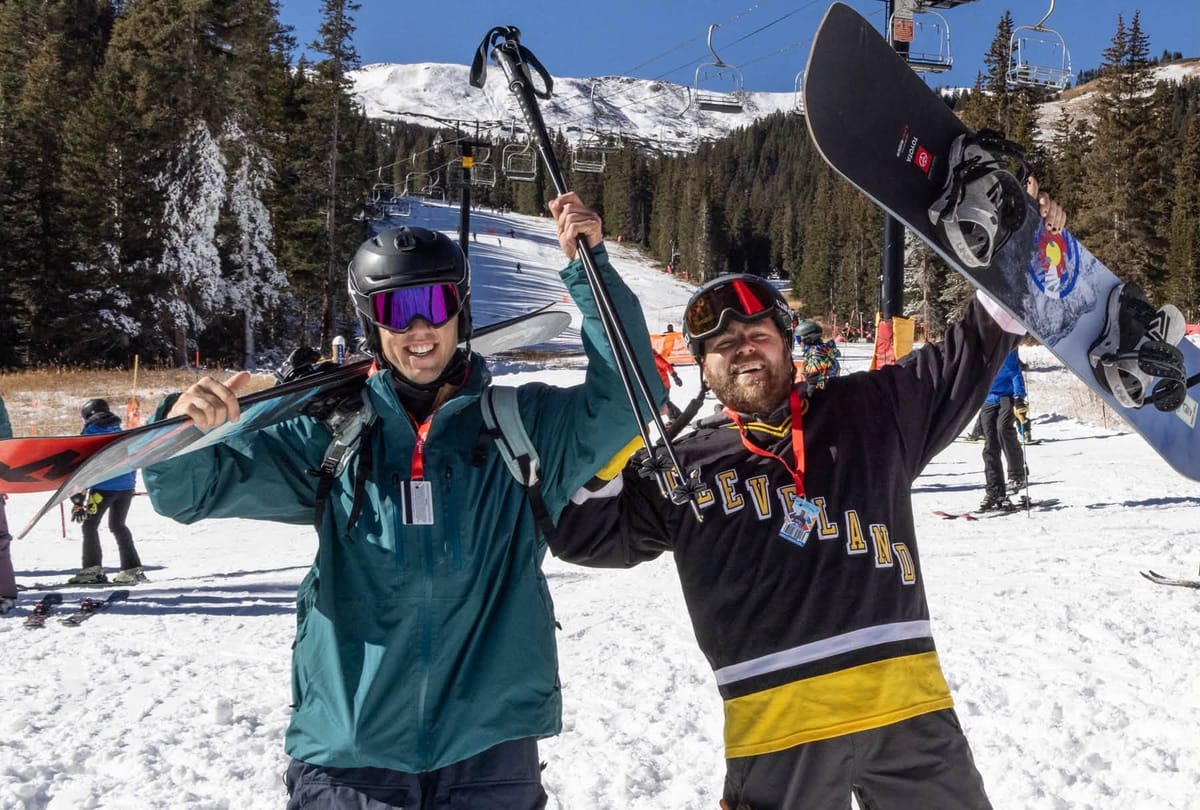
- Breckenridge and Copper delay a little meaning Loveland is 4th Colorado resort to open.
- Four Canadian ski areas open last weekend, all in Alberta.
- East Coast sees colder, snowier weather bringing first openings closer.
- Season underway on West Coast in California and at Lake Tahoe.
Western Canada Report
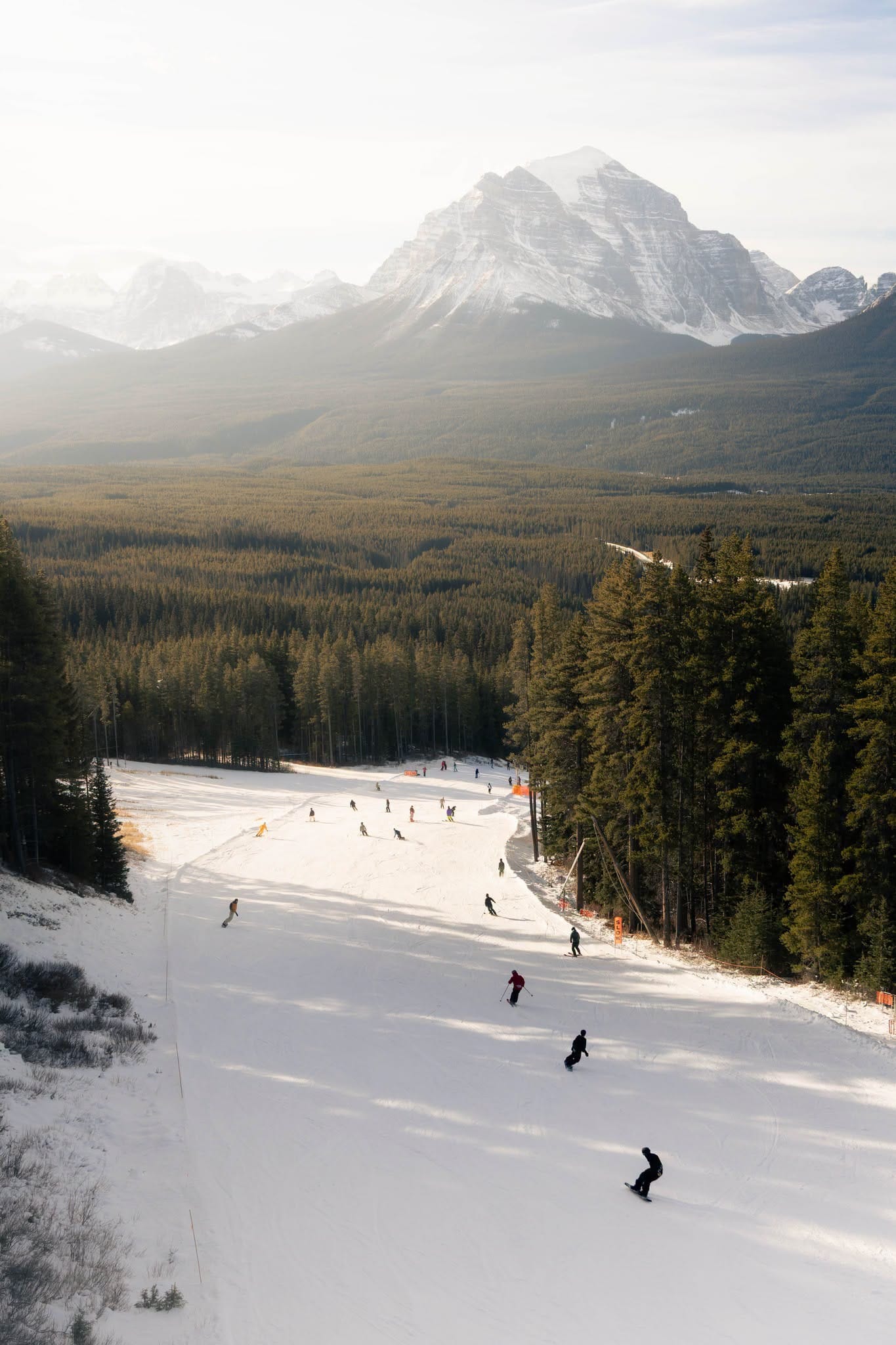
All three Banff ski areas are now open, albeit with very thin bases and very limited terrain available so far, with early-opening Norquay (30/35cm / 12/14”), joining Lake Louise (11/13cm / 4/52”) last Friday. Banff’s other area Sunshine (5/18 / 2/7”) became the third area to open at the weekend but doesn’t have a lot available initially, saying it was a “quiet opening”. The centre had a hike-to terrain park set up with boxes, rails and tubes on opening Saturday. A fourth area, Nakiska (0/15cm / 0/6”), the closest to Calgary, also opened for a ‘preview weekend’ on Saturday and Sunday, warning early-season terrain availability was only suited to advanced skiers and rider. Jasper’s Marmot Basin is expected to be the next to open with North America’s largest area Whistler Blackcomb lining up next week. The past week has seen periods of snowfall, heaviest on the BC coast with the Rockies and Kootenays seeing a mix of sunshine and cloud with colder temperatures helping preserve snow cover.
Western Canada Forecast
The split picture continues with an ongoing series of Pacific storms bringing plenty of moisture, with heavy snowfall on higher slopes in the Coast Mountains and Whistler region in BC, although lower elevations may see rain at times as snow levels fluctuate. Some high alpine areas could pick up 20-40cm or more of fresh snow. Further east in Alberta, conditions look colder but generally drier. Resorts around Banff and Lake Louise should see plenty of sunshine and sub-zero overnight temperatures, with only light snowfall forecast. Snowmaking conditions remain favourable and temperatures trend colder into next week.
Eastern Canada Report
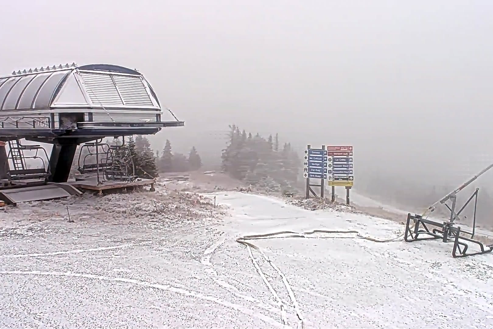
Eastern Canada’s ski regions have continued to face mixed conditions over the past week and nowhere is open yet, although the first areas are hoping to open imminently. In Quebec, there have been milder than average temperatures and periods of rain at lower-elevation, although some colder nights have supported snowmaking operations. Higher and more northerly areas have seen light natural snowfall and sub-freezing temperatures though. In Ontario, the weather has been similarly changeable, with limited natural snowfall but enough cold air at times for snowmaking. Overall, it’s been more variable pre-season conditions.
Eastern Canada Forecast
Across Quebec and Ontario, temperatures should hover close to or below freezing, with occasional rain, sleet or snow showers and a few flurries possible in the Laurentians and other higher-elevation ski regions. While no major snowstorms are currently indicated, conditions should remain favourable for snowmaking at most higher resorts. Expect variable cloud cover, chilly nights and periodic light natural snowfall, helping gradually build early-season cover ahead of more widespread openings later this month.
US West Coast Report
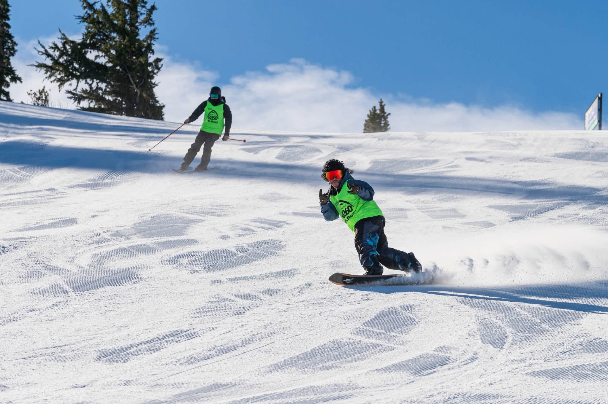
Mammoth (2/12” / 5/30cm) got the ski season started on the West Coast last Thursday, swiftly followed by Nevada’s Mt Rose (4/12” / 10/30cm), the first in Lake Tahoe on Friday. The weather has been mostly settled weather is expected across the Sierra Nevada over the past week with plenty of sunshine and only occasional cloud cover. Overnight lows have stayed below freezing on higher slopes, helping preserve early snow cover. There’s been little or no fresh snowfall except further north into Oregon and Washington state which has been more unsettled with rain, sleet and snow showers and strong winds at times.
US West Coast Forecast
The US West Coast mountains, including the Cascades and Sierra Nevada, look set for a more active period as Pacific storms continue to move onshore. The heaviest precipitation is expected at higher elevations, with snow generally confined to the upper slopes while lower mountain elevations may see rain or a mix at times. The best snowfall prospects are to the north in Washington's Cascades and California's Sierra Nevada, where several storm systems could deliver 12-36 inches of fresh snow on the highest terrain through the coming week. Snow levels will fluctuate, but conditions above about 5,000-6,000 feet should remain favourable for significant accumulations.
US Rockies Report
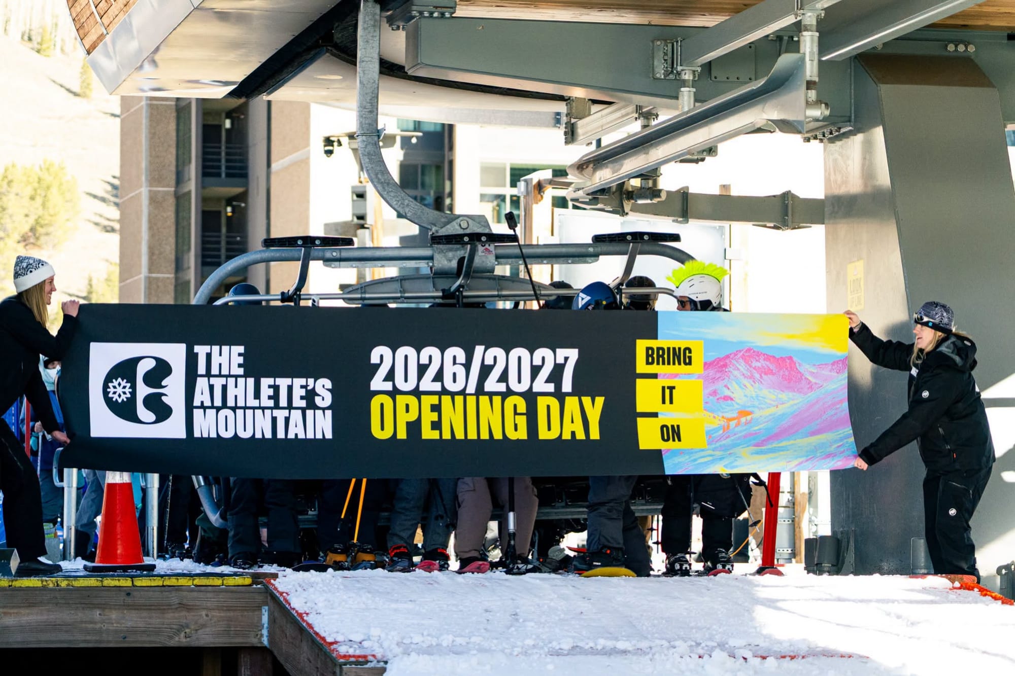
A warm spell at the end of last week led to last minute delays being announced with Breckenridge and Copper among the centres deciding not to open as planned last Friday, announcing their delays just hours before, “Mother Nature hasn’t exactly been cooperating this fall. Temperatures have been cool, but not consistently cold enough for efficient snowmaking, and we’ve had more rain than snow. The 4 inches we picked up last night are a welcome sight, and we will take advantage of every opportunity to get you out here on a high-quality and safe snow surface, as soon as possible,” a spokesperson Copper explained. Keystone (0/45cm / 0/18”) with a few miles (3km) and Arapahoe Basin (0/46cm / 0/17”) with about half that are both still open however. Wolf Creek closed for more than a week as it supports emergency services in the surrounding region dealing with a major flood event. The warmer-than-average weather has continued into this week but Loveland opened on Saturday and Copper, after a 48-hour delay, on Sunday, noting “American Eagle is spinning with access to Rhapsody, Fair Play and Main Vein, but please note no green terrain is available.” Breckenridge opened Wednesday.
US Rockies Forecast
Colder air and several storm systems are forecast to move inland from the Pacific. The best snowfall is expected in higher terrain across Colorado, Utah, Wyoming and Montana, with snow levels lowering as temperatures fall. Many mountain areas could receive 6-12 inches of fresh snow, while favoured locations such as Utah's Wasatch, Colorado's San Juans and parts of the Tetons may see 1-2 feet of accumulation on the highest slopes. Between storms, temperatures should remain cold enough to support snowmaking and help preserve early-season snow cover as more resorts begin operations.
US East Coast Report
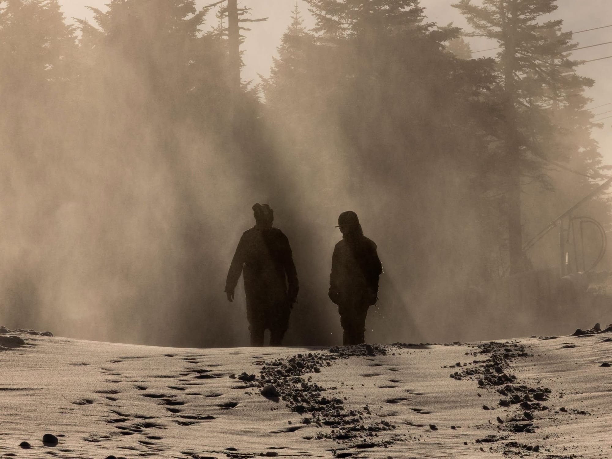
Temperatures have been gradually cooling on the East Coast with overnight lows now fairly consistently below freezing and daytime highs just a few degrees above. The showers have been a mixture of rain, sleet and snow but increasingly the latter with most resorts in the region now having reported their first snowfalls of the season. It's looking most promising further north with Maine’s Sugarloaf noting natural snow now covers its slopes down to the base. More resorts have been posting film of snowmakers in action too without much evidence of bases being laid and Killington, often one of the first to open in the region, has noted it is just over a fortnight until it is due to host World Cup racing. Ski Ward in Massachusetts has managed to open a slope already using its all-weather snowmaking system although planned operations have been disrupted by rain showers at times.
US East Coast Forecast
Much of the Northeast looks set for its first meaningful taste of winter over the next few days. A developing storm tracking across New England should bring rain to lower elevations initially, but snow in the mountains, particularly across northern Vermont, New Hampshire and western Maine. Snow levels are expected to fall from around 1,500 feet initially to near 1,000 feet or lower by Friday. The biggest accumulations are likely on higher slopes at resorts such as Killington, Stowe, Sugarloaf and Sunday River, where several inches of fresh snow are possible. Colder air follows for the weekend, helping preserve natural snowfall and creating favourable snowmaking conditions.