The above table gives the weather forecast for Breuil-Cervinia Valtournenche at the specific elevation of 2502 m. Our sophisticated weather models allow us to provide snow forecasts for the top, middle and bottom ski stations of Breuil-Cervinia Valtournenche. To access the weather forecasts for the other elevations, use the tab navigation above the table. For a wider view of the weather, check out the Weather Map of Italy.
Click here to read further information on freezing levels and how we forecast our temperatures.
Went Easter 2026
Yes, it's ugly and the lift system is prone to close in high winds. We went late March/early April and the first 3 days were all impacted - late openings, links to Zermatt shut. But you suck it up because the altitude means decent skiing in late March/April. Best thing to do is check weather forecast, and if you can, come here April if there's fresh snow.
Some piste tips:
Cieloalto - small, quiet area just to right of base. A couple of decent blacks.
Valtournenche - red 1 is a long, interesting run right to the base. 3 lifts to the top, 2nd is achingly slow, but the reds from Cime Blanche are excellent
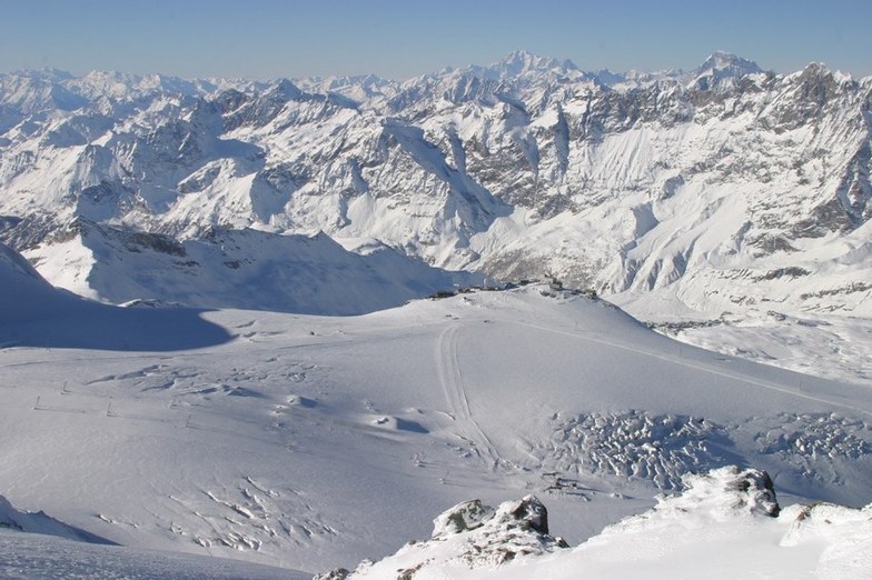
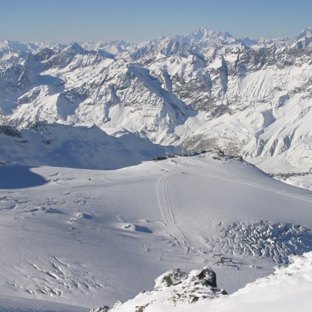
Palteau Rosa - assuming it's open, its a 3 stage haul to get here. Project Cervino (due 2029/30) will provide a fast single telecabin. Until then, it's a bind, but at the top, you have red 7 all the way back to the base
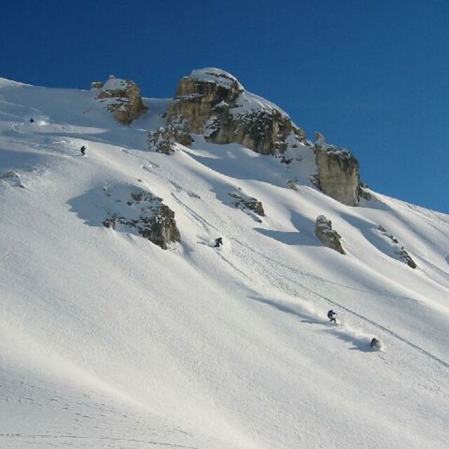
Take the 2 chairs (2nd is kid friendly at Plan Torette) and some decent runs, but go off-piste under the chair. Black 59 is on the map, nut doesn't appear to be there anymore, but the off-piste version is worth exploring.
Yes, it's ugly and the lift system is prone to close in high winds. We went late March/early April and the first 3 days were all impacted - late openings, links to Zermatt shut. But you suck it up because the altitude means decent skiing in late March/April. Best thing to do is check weather forecast, and if you can, come here April if there's fresh snow.
Some piste tips:
Cieloalto - small, quiet area just to right of base. A couple of decent blacks.
Valtournenche - red 1 is a long, interesting run right to the base. 3 lifts to the top, 2nd is achingly slow, but the reds from Cime Blanche are excellent
Palteau Rosa - assuming it's open, its a 3 stage haul to get here. Project Cervino (due 2029/30) will provide a fast single telecabin. Until then, it's a bind, but at the top, you have red 7 all the way back to the base
Take the 2 chairs (2nd is kid friendly at Plan Torette) and some decent runs, but go off-piste under the chair. Black 59 is on the map, nut doesn't appear to be there anymore, but the off-piste version is worth exploring.
Free Snow-Forecast.com weather widget for your website
Embed the Breuil-Cervinia Valtournenche weather widget on your site for free. It provides a weekly snapshot of snow and rain conditions across all elevations. Follow the two quick steps to grab your custom code and paste it into your site. Choose between metric or imperial units. Click here to get the code.


 Nearest