

Portillo Storm Snowfall Total Passes 5m / 17 Feet
A snow storm that has now continued for nine days has taken Chilean ski resort Portillo to a snowfall total of 5.2 metres (17 feet) so far, with more snow forecast.

Next 3 days weather summary:A light covering of new snow, mostly falling on Thu night. Temperatures will be below freezing (max 0°C on Tue morning, min -2°C on Wed night). Winds increasing (calm on Tue night, near gales from the NNW by Thu night). | Days 4-6 weather summary:A moderate fall of snow, heaviest on Fri night. Temperatures will be below freezing (max -2°C on Fri morning, min -8°C on Sun afternoon). Winds decreasing (near gales from the WNW on Fri morning, light winds from the S by Sat morning). | |||||||||||||||||
Tuesday 28 | Wednesday 29 | Thursday 30 | Friday 31 | Saturday 1 | Sunday 2 | |||||||||||||
AM | PM | night | AM | PM | night | AM | PM | night | AM | PM | night | AM | PM | night | AM | PM | night | |
clear | clear | clear | clear | clear | clear | light snow | light snow | mod. snow | light snow | light snow | light snow | light snow | snow shwrs | clear | light snow | light snow | snow shwrs | |
km/h | ||||||||||||||||||
Snow map |  |  |  |  |  |  | ||||||||||||
— | — | — | — | — | — | 1 | — | 8 | 3 | 1 | 5 | 1 | — | — | 2 | 2 | 1 | |
mm | — | — | — | — | — | — | — | — | — | — | — | — | — | — | — | — | — | — |
max °C | 0 | 0 | 0 | 0 | 0 | 0 | -1 | -1 | -1 | -2 | -4 | -5 | -6 | -5 | -6 | -6 | -8 | -2 |
min °C | -1 | 0 | -1 | 0 | -1 | -2 | -1 | -1 | -2 | -3 | -4 | -5 | -6 | -5 | -6 | -7 | -8 | -7 |
chill °C | -6 | -3 | -3 | -2 | -5 | -8 | -8 | -9 | -10 | -13 | -14 | -15 | -12 | -12 | -13 | -17 | -20 | -18 |
Humid % | 28 | 38 | 43 | 43 | 56 | 51 | 89 | 97 | 96 | 98 | 86 | 88 | 92 | 62 | 59 | 95 | 94 | 73 |
Freeze m | 1750 | 2050 | 1950 | 1900 | 1900 | 1650 | 1700 | 1750 | 1800 | 1600 | 1400 | 1150 | 900 | 1000 | 350 | 1050 | 900 | 850 |
7:24 | — | — | 7:24 | — | — | 7:22 | — | — | 7:22 | — | — | 7:20 | — | — | 7:20 | — | — | |
— | 5:22 | — | — | 5:23 | — | — | 5:24 | — | — | 5:24 | — | — | 5:25 | — | — | 5:27 | — | |
Go pro and carve into:
Avalanche information: New Zealand Avalanche Advisory
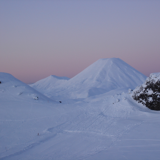
Latest snow reports near Whakapapa:
| Top snow depth: | 84 cm |
|---|---|
| Bottom snow depth: | 62 cm |
| Fresh snowfall depth: | — |
| Last snowfall: | 25 Jul 2026 |
| Snow Alerts | Create Alert |
0.7 | Bluebird Powder days Fresh snow, mostly sunny, light wind. |
|---|---|
1.1 | Powder days Fresh snow, limited sun, any wind. |
1.5 | Bluebird days Average snow, mostly sunny, light wind. |
The above table gives the weather forecast for Whakapapa at the specific elevation of 1962 m. Our sophisticated weather models allow us to provide snow forecasts for the top, middle and bottom ski stations of Whakapapa. To access the weather forecasts for the other elevations, use the tab navigation above the table. For a wider view of the weather, check out the Weather Map of New Zealand.
Click here to read further information on freezing levels and how we forecast our temperatures.
Overall 3.3 Based on 52 votes and 59 reviews
I love this mountain and always will. I may have a different perspective to many because I always stay in one of the ski lodges on Whakapapa. Staying on the mountain is a beautiful experience. I took a party of 10 to stay at our lodge in August 2023 and we all had an amazing time, it was a great snow season. We tried the same again in August 2024 but the snow gods were not forthcoming. However, we improvised and did bush walks, hot pools and other activities to make up for the lack of snow and conditions. I have been coming here since I was a tiny tot in the late seventies so my views are the same, always a great experience at Whakapapa.
Geoff Powdrell from Australia writes:
I love this mountain and always will. I may have a different perspective to many because I always stay in one of the ski lodges on Whakapapa. Staying on the mountain is a beautiful experience. I took a party of 10 to stay at our lodge in August 2023 and we all had an amazing time, it was a great snow season. We tried the same again in August 2024 but the snow gods were not forthcoming. However, we improvised and did bush walks, hot pools and other activities to make up for the lack of snow and conditions. I have been coming here since I was a tiny tot in the late seventies so my views are the same, always a great experience at Whakapapa.


 Nearest