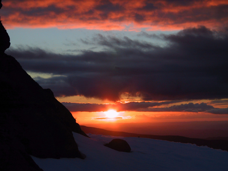


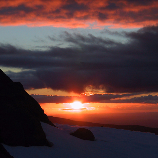
A New Largest Ski Area in New Zealand?
The Remarkables is hoping to overtake Cardrona as New Zealand’s largest ski area under a major NZD 150 million‑plus expansion proposal lodged by owner NZSki.

Next 4 days weather summary:A moderate fall of snow, heaviest on Wed night. Freeze-thaw conditions (max 1°C on Wed night, min -4°C on Thu night). Winds decreasing (gales from the NNE on Wed night, light winds from the NE by Thu afternoon). | Days 5-7 weather summary:Mostly dry. Temperatures will be below freezing (max 0°C on Sat night, min -2°C on Sun night). Winds decreasing (fresh winds from the SE on Sat night, calm by Tue afternoon). | |||||||||||||||
Thursday 25 | Friday 26 | Saturday 27 | Sunday 28 | Monday 29 | ||||||||||||
night | AM | PM | night | AM | PM | night | AM | PM | night | AM | PM | night | AM | PM | night | |
snow shwrs | some clouds | light snow | light snow | light snow | light snow | cloudy | light snow | light snow | some clouds | clear | some clouds | clear | clear | clear | clear | |
km/h | ||||||||||||||||
Snow map |  |  |  |  |  |  | ||||||||||
4 | — | 1 | 4 | 1 | — | — | — | — | — | — | — | — | — | — | — | |
mm | — | — | — | — | — | — | — | — | — | — | — | — | — | — | — | — |
max °C | 1 | 0 | -1 | -3 | -3 | -1 | 1 | 0 | -1 | 0 | 0 | -1 | -1 | -2 | -2 | -1 |
min °C | 0 | 0 | -3 | -4 | -3 | -2 | 0 | 0 | -1 | 0 | -1 | -1 | -2 | -2 | -2 | -1 |
chill °C | -9 | -4 | -7 | -10 | -11 | -10 | -7 | -7 | -9 | -7 | -4 | -4 | -7 | -7 | -8 | -7 |
Humid % | 78 | 70 | 89 | 91 | 71 | 91 | 46 | 85 | 90 | 78 | 77 | 79 | 53 | 61 | 73 | 45 |
Freeze m | 2400 | 2250 | 2150 | 1200 | 1150 | 1600 | 2900 | 2250 | 2150 | 2400 | 2300 | 2100 | 2100 | 1850 | 1600 | 1450 |
— | 7:37 | — | — | 7:37 | — | — | 7:37 | — | — | 7:37 | — | — | 7:37 | — | — | |
— | — | 5:01 | — | — | 5:01 | — | — | 5:02 | — | — | 5:02 | — | — | 5:02 | — | |
Go pro and carve into:
Avalanche information: New Zealand Avalanche Advisory
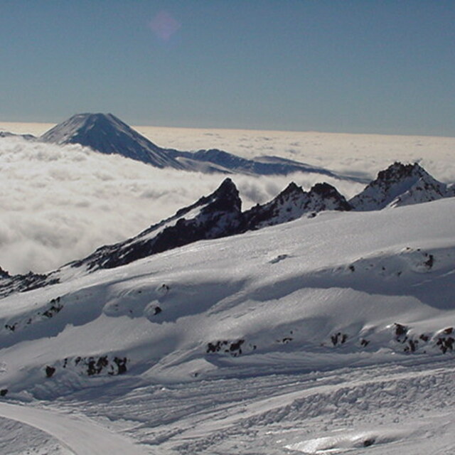
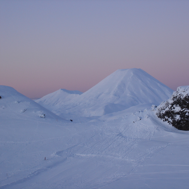
Latest snow reports near Whakapapa:
| Top snow depth: | 0 cm |
|---|---|
| Bottom snow depth: | 0 cm |
| Fresh snowfall depth: | — |
| Last snowfall: | 16 Jun 2026 |
| Snow Alerts | Create Alert |
1.2 | Bluebird Powder days Fresh snow, mostly sunny, light wind. |
|---|---|
1.1 | Powder days Fresh snow, limited sun, any wind. |
2.0 | Bluebird days Average snow, mostly sunny, light wind. |
The above table gives the weather forecast for Whakapapa at the specific elevation of 2300 m. Our sophisticated weather models allow us to provide snow forecasts for the top, middle and bottom ski stations of Whakapapa. To access the weather forecasts for the other elevations, use the tab navigation above the table. For a wider view of the weather, check out the Weather Map of New Zealand.
Click here to read further information on freezing levels and how we forecast our temperatures.
Overall 3.3 Based on 52 votes and 59 reviews
Went up to Whakapapa last Friday, amazing, lots of snow. The staff were just fantastic. It was a great experience. The restaurant was lovely and clean. All the staff were welcoming. I hope everything is sorted for next year. What a well run business. The lifties were so great holding the seat back for us. I have nothing but praise for the team at Whakapapa and the facilities. And the snow was amazing, brilliant day.
Janet from New Zealand writes:
Went up to Whakapapa last Friday, amazing, lots of snow. The staff were just fantastic. It was a great experience. The restaurant was lovely and clean. All the staff were welcoming. I hope everything is sorted for next year. What a well run business. The lifties were so great holding the seat back for us. I have nothing but praise for the team at Whakapapa and the facilities. And the snow was amazing, brilliant day.


 Nearest