
Visiting Whakapapa
Helpful resort information to assist planning your trip.
- Opens20 Jun 2026
- Closes25 Oct 2026
- Accommodation—
- Restaurants | Bars4 | —
- Nearest Airport Taupo
- Nearest Train Station National Park Village
- Tourist Office Website
- Tourist Office Phone+6478924000
- Avalanche information:
Whakapapa Features
The terrain at Whakapapa includes:
- Halfpipes1
- Terrain Parks2
- X-Country—
- Ski Hire—
What's it like at Whakapapa resort?
Whakapapa (New Zealand's largest ski area since joining with Turoa Ski Resort) is part of Tongariro National Park, New Zealand's oldest National Park and a World Heritage area. Whakapapa is operated under a license issued by the Department of Conservation and is owned and run by Ruapehu Alpine Lifts Ltd. There are 43 trails at Whakapapa with terrain for all ability levels, including off-piste expert terrain. The ski area can be broken into three: Happy Valley (a self contained beginners area), the east side (where the majority of lifts and services are located) and the west side (highlighted by the lift accessed back-country terrain). The nearest airport to Whakapapa is in Wellington.
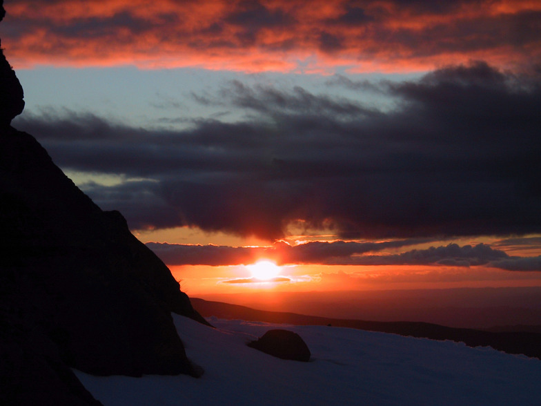
Latest photos from Whakapapa. View all photos at the Whakapapa gallery page.
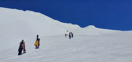 Photo credit: Bruce McCallum
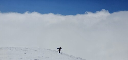 Photo credit: Bruce McCallum
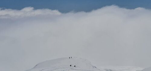 Photo credit: Bruce McCallum
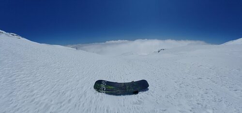 Photo credit: Bruce McCallum
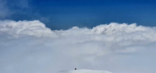 Photo credit: Bruce McCallum
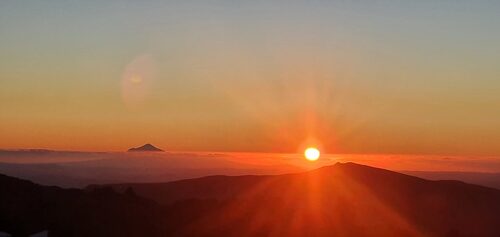 Photo credit: Bruce McCallum
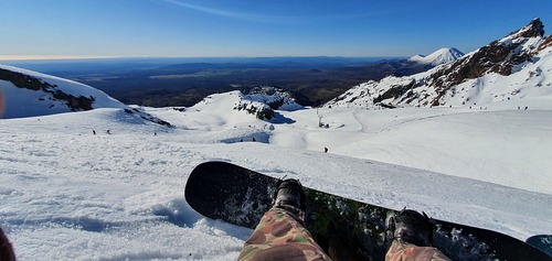 Photo credit: Bruce McCallum
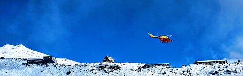 Photo credit: Bruce McCallum
Explore Whakapapa Location Map
Interactive Whakapapa trail map and piste map. View the piste and trails as well as the surrounding terrain and mountain contours for backcountry action. Find and compare nearby resorts by clicking on the resort markers.

When's the snowiest month to visit Whakapapa?

Visitor Reviews of Whakapapa
Geoff Powdrell from Australia writes:
I love this mountain and always will. I may have a different perspective to many because I always stay in one of the ski lodges on Whakapapa. Staying on the mountain is a beautiful experience. I took a party of 10 to stay at our lodge in August 2023 and we all had an amazing time, it was a great snow season. We tried the same again in August 2024 but the snow gods were not forthcoming. However, we improvised and did bush walks, hot pools and other activities to make up for the lack of snow and conditions. I have been coming here since I was a tiny tot in the late seventies so my views are the same, always a great experience at Whakapapa.
Resorts close to Whakapapa
Discover ski resorts near Whakapapa. Click below to view there ski resort guides.
 TukinoLast snow: 11.0 cm Sat 25 Jul
 Lifts: 2
 Pistes: —8 km away
- TuroaLast snow: 12.0 cm Sat 25 JulLifts: 9Pistes: 439 km away
- ManganuiLast snow: 3.0 cm Sat 25 JulLifts: 4Pistes: 10126 km away
- RainbowLast snow: 1.0 cm Sat 25 JulLifts: 5Pistes: 9372 km away
- Mount LyfordLast snow: 9.0 cm Sat 25 JulLifts: 6Pistes: —410 km away
 Nearest