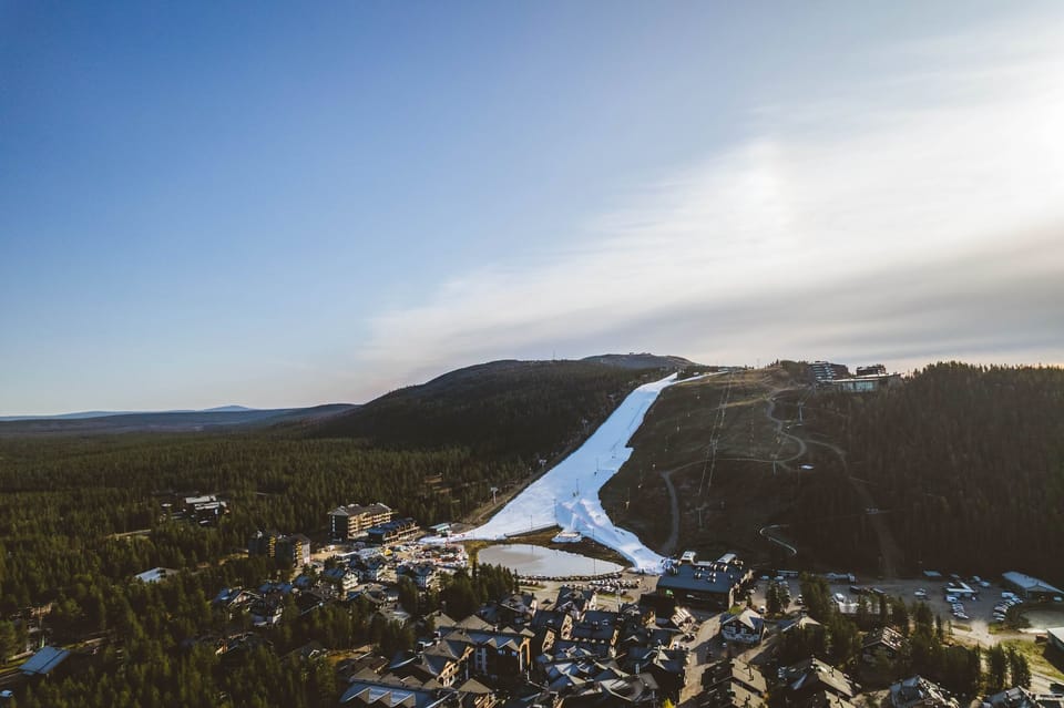
Southern Hemisphere Weekly Snow Roundup #329
Weekly Snow News for Southern Hemisphere, updated 27 August 2026: Chile leads with Corralco's world-deepest base of 153/319cm (61/128"), while New Zealand posts the region's strongest conditions.
- Australia: Rain and heat forced early closures, restricting open runs to high terrain.
- New Zealand: Excellent conditions nationwide with 95–100% of terrain open.
- Argentina: Broad 60–90% coverage with fresh snow returning to northern slopes.
- Chile & Africa: Chile leads global snow depth and open terrain; Africa is closed.
SOUTHERN HEMISPHERE INTRODUCTION
Australia's season keeps struggling as warmth and rain thin cover, forcing early closures at Mt Baw Baw and Selwyn; remaining resorts hold 45–65% terrain, with Perisher and Thredbo deepest up top. New Zealand leads the region with 95–100% terrain open nationwide thanks to steady snow and cold, though weekend winds caused closures—Mt Hutt has the deepest base, fully open Cardrona the biggest network. Argentina has its best terrain coverage of the winter (60–90% open) and deepest snow, with sun in the south and fresh snow returning north; Catedral leads groomed terrain, Las Leñas has the most skiable acreage. Chile still tops world snow depth (up to 3.2m/11ft) and open terrain (115km+ across its Three Valleys), with fresh snow returning after a sunny weekend and several resorts extending their seasons. Africa's season appears over, with Lesotho's Afriski closing after its Winterfest.
AUSTRALIA REPORT
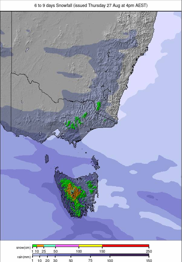
Warm weather and rain hit Australia's thin snowpack this week. Mt Baw Baw already announced an early season end; Selwyn closed abruptly, citing rain. Remaining resorts have their best skiing up high, with slushy, narrow lower access routes. Open terrain at larger resorts fell from 45–65% to 20–35% after more rain, sun, and above-freezing days. Perisher (50/85cm) dropped out of the world's top terrain rankings, its open runs halving from 40km to 20km since Tuesday. Thredbo (40/90cm) shows similar stats.
AUSTRALIA FORECAST
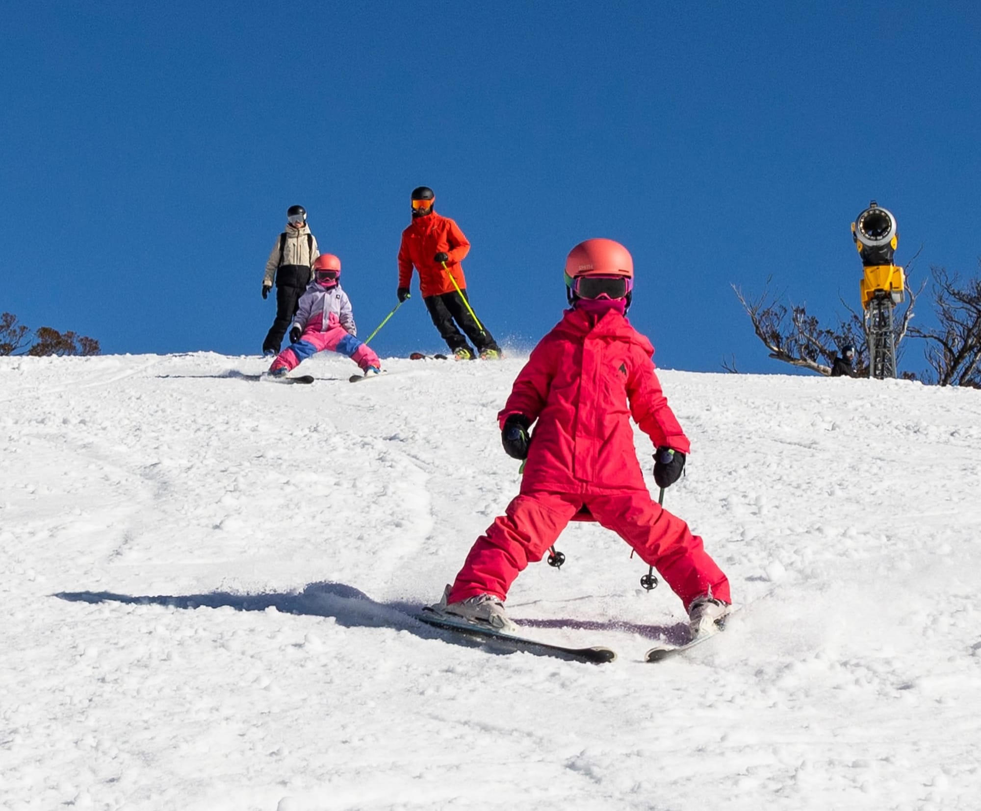
Mostly sunny conditions are expected to dominate Australian ski resorts for the coming week, with clear skies and excellent visibility across the Alps. Overnight lows dip to around –3°C, bringing frosty starts, while daytime highs climb sharply, reaching +15°C on the warmest slopes. No significant snowfall is indicated, and rain chances remain very low across most resorts. A stable high-pressure pattern keeps conditions settled, delivering spring‑like skiing.
NEW ZEALAND REPORT
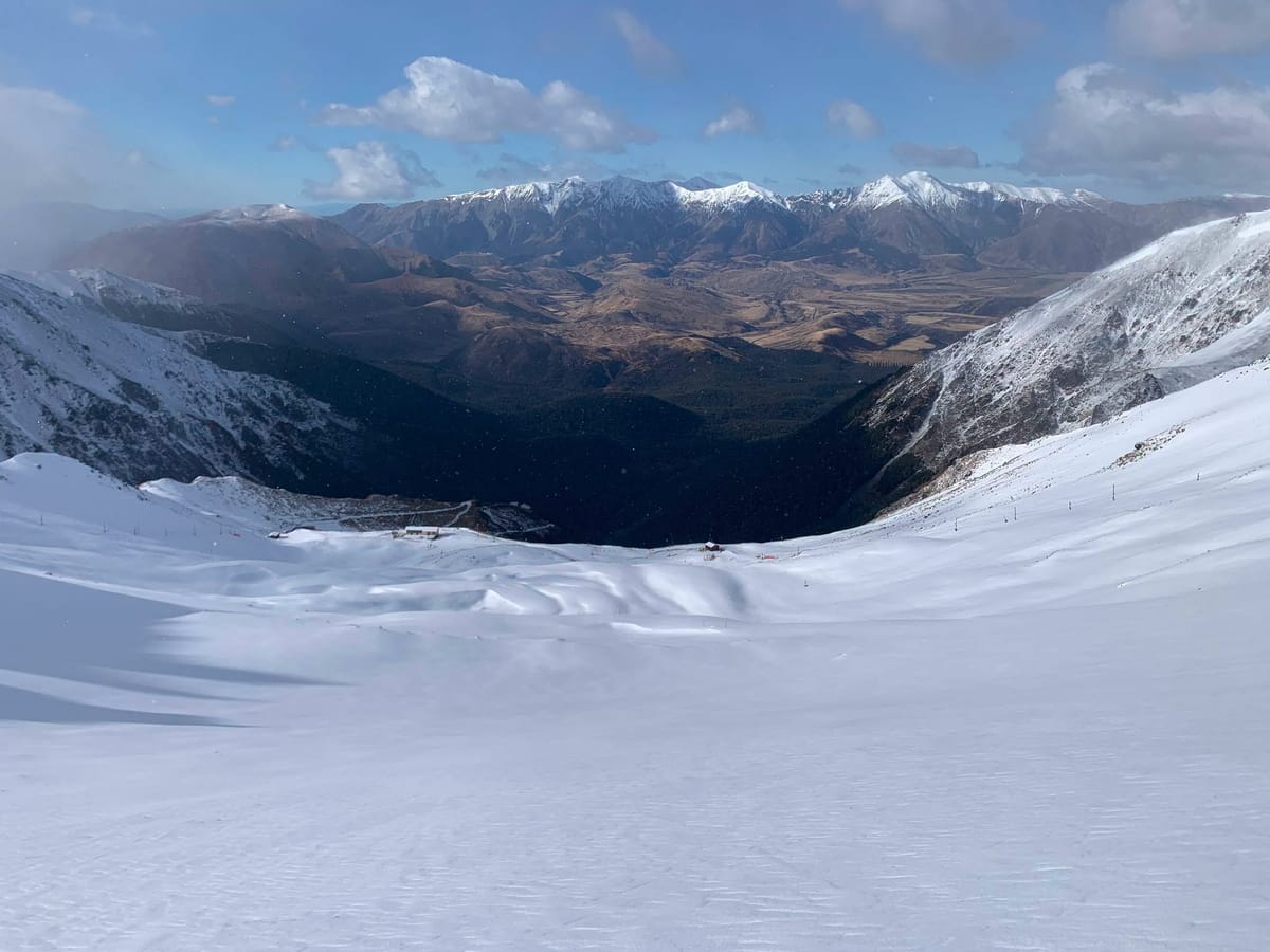
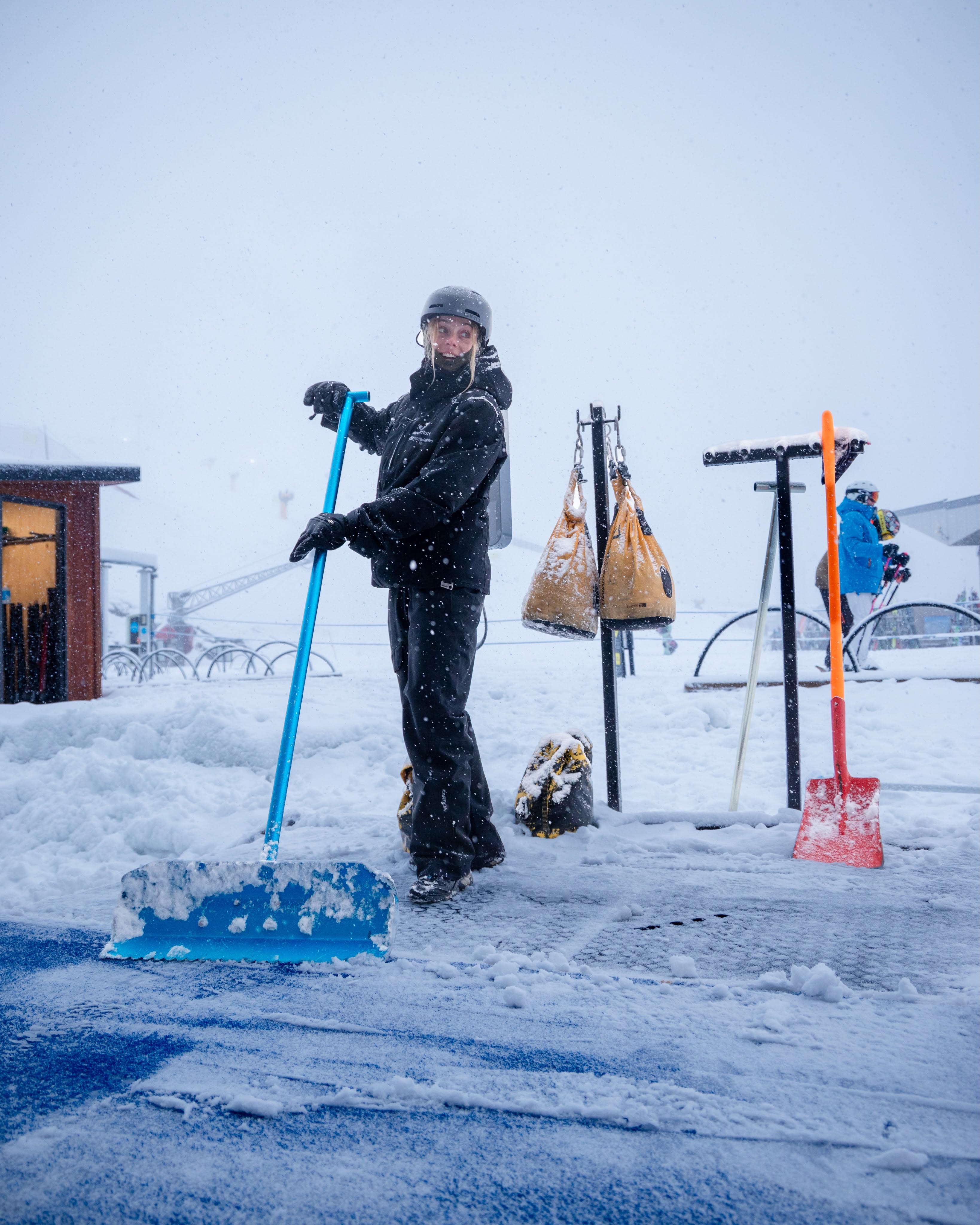
Conditions remain the region's best despite some softening snow and strong winds closing many areas Sunday. A snowy week, especially up high, keeps most resorts at 95–100% open, many fully open - the strongest stats in the Southern Hemisphere. Mt Hutt (120/180cm) has the deepest snow; fully open Cardrona (45/55cm) has the most terrain (45km).
NEW ZEALAND FORECAST
South Island upper‑mountain terrain turns cold and wintry, with repeated fronts driving snowfall across high elevations and freezing levels dropping sharply. Expect fresh accumulations, periods of snow showers, and firmer, colder conditions following each system. Rain to snow transitions stay confined to lower slopes, with the alpine zone holding steady in sub‑freezing air. Meanwhile, North Island summit levels remain mostly sunny and settled, with long clear spells, lighter winds, and only brief cloud and occasional light snowfalls forecast.
ARGENTINA REPORT
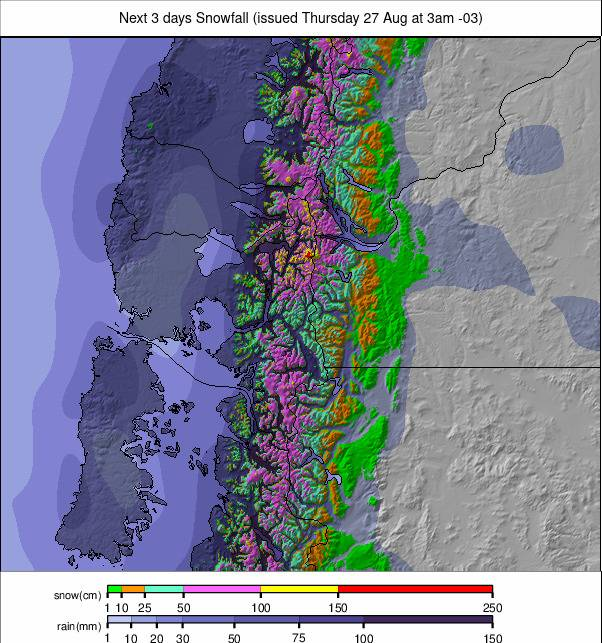
Terrain hits a season peak nationwide, 60–90% open. The south is dry and sunny with highs near freezing and lows to -10C; the north has turned more unsettled with moderate-to-heavy snow since Tuesday. Catedral (60/70cm), near Bariloche, is 70% open and has the most pisted terrain. Las Leñas (120/300cm) - now with fully lift-accessible backcountry - likely has the most skiable terrain overall and the country's (and world's second-)deepest snow; another meter reportedly fell in the last 48 hours, not yet reflected in official stats.
ARGENTINA FORECAST
A snowier stretch for most areas, with repeated light-to-moderate snow and low freezing levels building upper-mountain cover from Mendoza through the central Andes. Further south (Tierra del Fuego, Cerro Castor), conditions turn drier with more sun and only isolated flurries.
CHILE REPORT
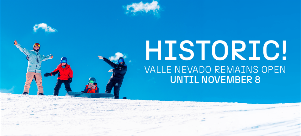
After a month of heavy snow, the past week was mostly dry and sunny (lows to -10C up high, highs to +10C at resort level), before turning unsettled again with up to 50cm of new snow by Wednesday and more falling. Portillo (195/285cm) officially extended its season to October 11th, is back to 80% open (including the Lake Run), and briefly saw its access road/border crossing fully reopen before fresh snow closed it again. Valle Nevado (90/180cm)—linked with El Colorado and La Parva (60/150cm) for a world-leading ~115km open—also extended its season, to October 18th. Corralco (153/319cm) still has the world's deepest base.
CHILE FORECAST
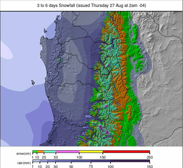
A mixed, unsettled pattern continues for central Chile, with recurring snow and dropping freezing levels keeping upper mountains fresh and firm, while lower slopes see rain/wet snow. Southern Chile trends drier with more sun and only isolated flurries.