Southern Hemisphere Weekly Snow Roundup #323
Weekly Snow News for Southern Hemisphere, updated 16 July 2026: New Zealand's 1m+ (40"+) snowfall delivers near full operations, while major Andes snowstorms promise several metres (6ft+) and Australian conditions steadily improve.
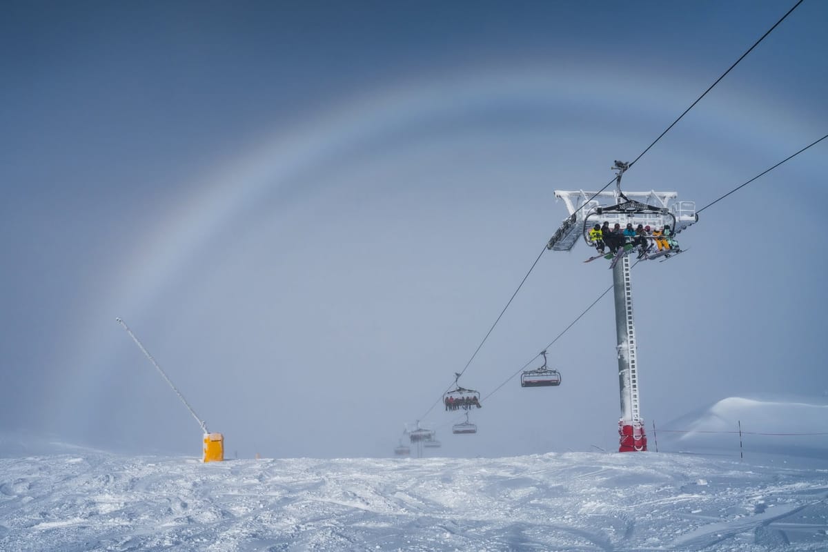
- Most resorts are now open, with snow cover steadily improving.
- New Zealand leads after up to 1.5m of fresh snow and near full operations at Mt Hutt.
- Australia continues to expand terrain thanks to fresh snow and snowmaking.
- Major snowstorms are forecast for Argentina and Chile in the coming week.
Southern Hemisphere Introduction
Most southern hemisphere ski areas saw snowfall this week, with the biggest totals in New Zealand and lighter falls in the Andes and Australia. Most resorts are now open, with gradually increasing terrain, while some New Zealand areas have jumped to near full operation after receiving over 1m (40"+) of snow. The Andes are now seeing the start of a major storm, with forecasts suggesting several metres (6ft+) of snowfall by next week, although it's too early to know if those totals will be realised.
Australia Report
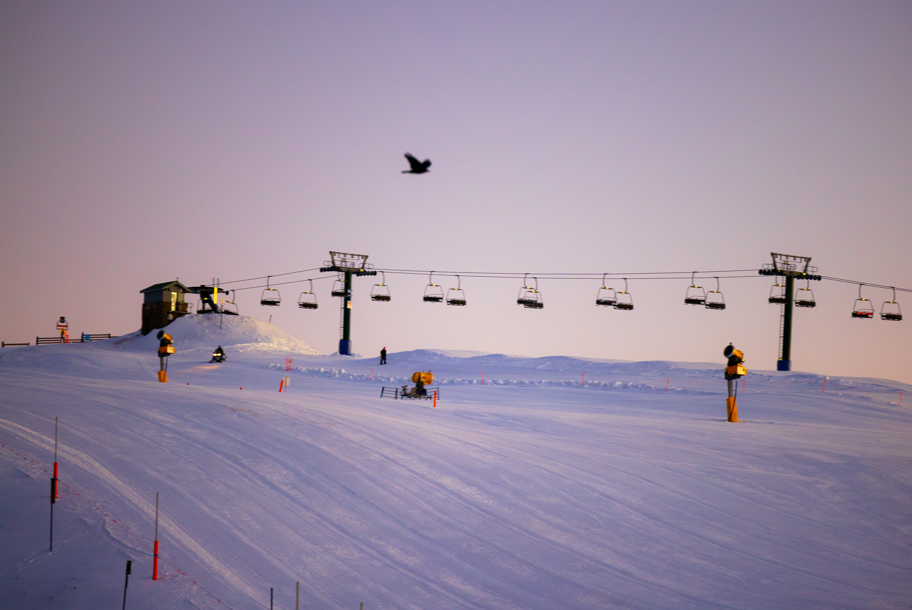
Australia's season continues to progress with two rounds of light to moderate snowfall and cold temperatures supporting regular snowmaking. While there hasn't yet been a major breakthrough for terrain expansion, several resorts have increased from 1–2% to around 5–10% open. Perisher received 15cm (6") of fresh snow on Sunday, while Falls Creek reported similar totals and Hotham picked up 17cm (7"), allowing top-to-bottom skiing to open there. Terrain has expanded slightly, with Falls Creek now running 11 of 15 lifts, while Hotham (30/50cm), Perisher (30/53cm) and Thredbo (20/35cm) have all reached around 15% of slopes open—the first Australian resorts to exceed 10%.
Australia Forecast
Dry, settled weather will dominate through the week, with plenty of sunshine, cold nights and temperatures from around –5°C on higher slopes to +10°C in lower valleys. Snow will remain firm each morning before softening later in the day. No significant snowfall is expected, with light winds and excellent visibility creating ideal conditions for on-piste skiing.
New Zealand Report
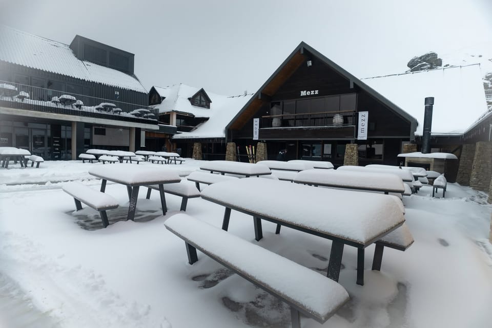
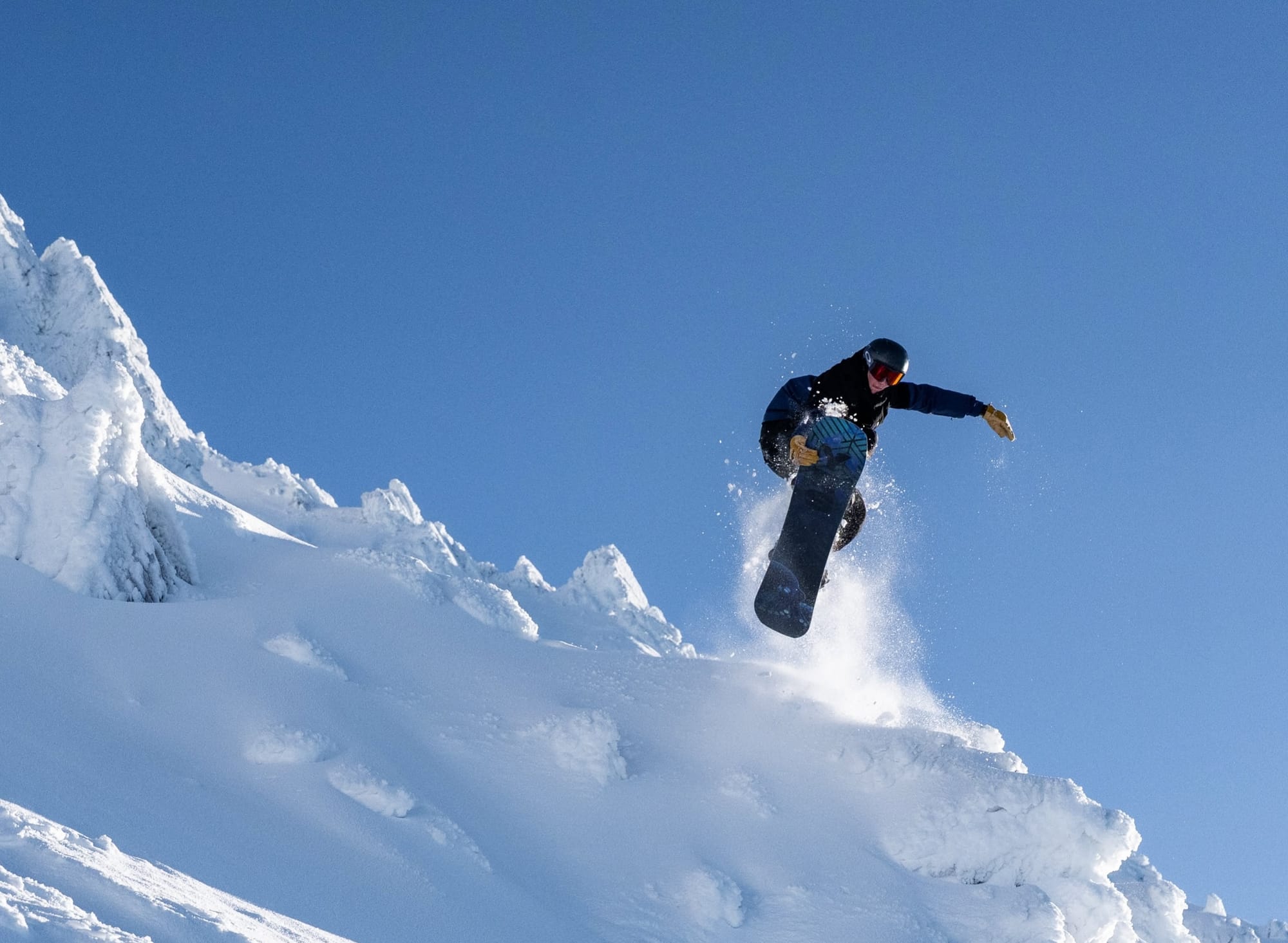
Winter has firmly arrived across New Zealand, with multiple storms delivering up to 1.5m (5ft) of snow in some higher areas. After last weekend's storm dropped up to 1.2m (4ft), further snow early this week continued to build bases. Mt Hutt (75/125cm) has been the standout, reaching near full operation after over 1m (40"+) of snowfall, giving it the deepest snowpack and most terrain open anywhere in the world. While some club fields also exceeded 1m, lower elevations saw wetter snow, leaving most commercial resorts between one-third and two-thirds open. Strong winds and occasional rain have also disrupted operations despite the excellent snowfall.
New Zealand Forecast
Dry, settled weather continues through the working week, with clear skies, light winds and freezing nights keeping conditions firm. Temperatures range from around –6°C to –2°C on upper slopes and –4°C to +2°C at base level. A colder front arrives this weekend, bringing moderate snowfall to many South Island resorts and lighter falls to Ruapehu.
Argentina Report
Most Argentine ski areas are finally open, although bases remain shallow and terrain limited, as in Chile and Australia. Hopes are rising for significant snowfall over the coming week. Las Leñas (20/45cm) finally opened at the weekend, around a month later than planned, with just over 10% of its slopes available. Cerro Bayo (0/25cm) continues to offer the country's highest proportion of open terrain at around 40%.
Argentina Forecast
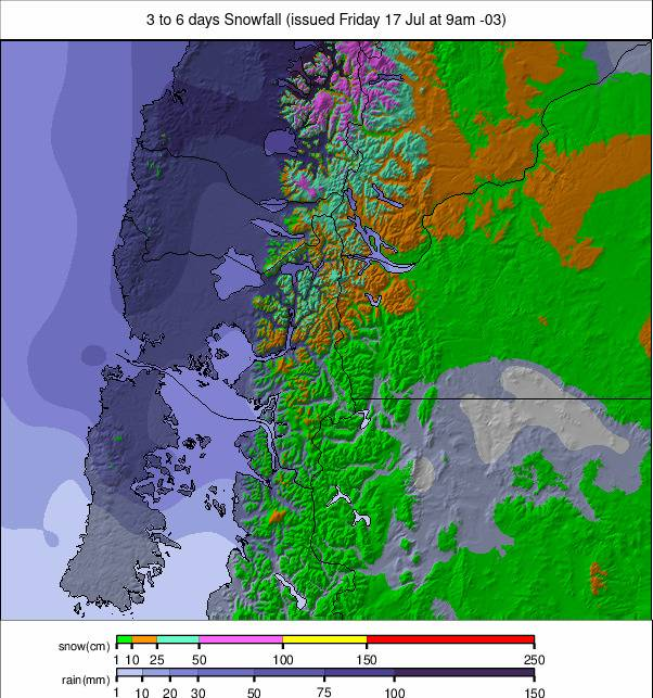
Forecast models indicate a week of heavy snowfall across Argentina, particularly in Patagonia, where resorts including Catedral, Chapelco, Bayo, Caviahue and La Hoya could receive 25–50cm (10–20") daily, with temperatures mostly between –4°C and –8°C. Las Leñas also looks set for heavy snowfall and much colder conditions, while Cerro Castor remains extremely cold at –15°C to –18°C but is expected to stay drier.
Chile Report
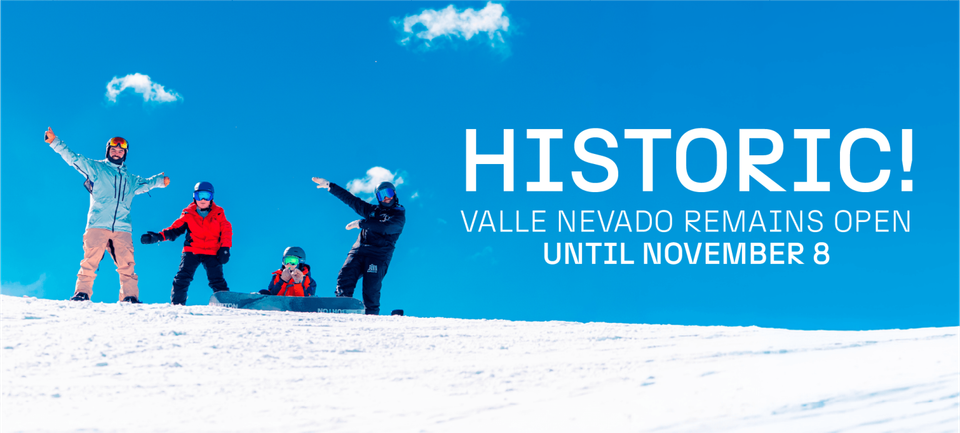
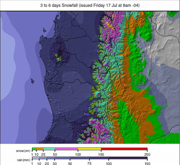
Forecasts of major snowfall have repeatedly failed to materialise in Chile, leaving conditions poor. Around half of the country's ski areas remain closed, while those operating generally have only 5–10% of terrain open and thin cover. Portillo (25/45cm) has the best conditions, with around 20% of runs open. Another major storm, potentially bringing several metres (80") of snow, is now beginning, although early accumulations were modest, with around 2cm at Portillo and less than 1cm at Valle Nevado.
Chile Forecast
Heavy snowfall is again expected across central and south-central Chile, affecting Portillo, Valle Nevado, La Parva, El Coloardo, Nevados de Chillán and other resorts. While previous forecasts have disappointed, the first substantial storm is now underway and should peak late Thursday into Friday. A colder follow-up system over the weekend should bring lighter but persistent snowfall and lower snow levels, helping improve coverage at mid and lower elevations.
South Africa Report
Conditions at Afriski (10/15cm) in Lesotho remain largely unchanged, with the main 1km run close to complete. It has been another dry, sunny week, with daytime temperatures occasionally reaching double figures above freezing, but overnight lows around –6°C have allowed continued snowmaking.
South Africa Forecast
Settled weather continues at Afriski, with clear skies and temperatures ranging from around –6°C overnight to +10–11°C during the afternoon. No snowfall is expected, so overnight freezing will remain important for preserving the resort's limited early-season snow cover.