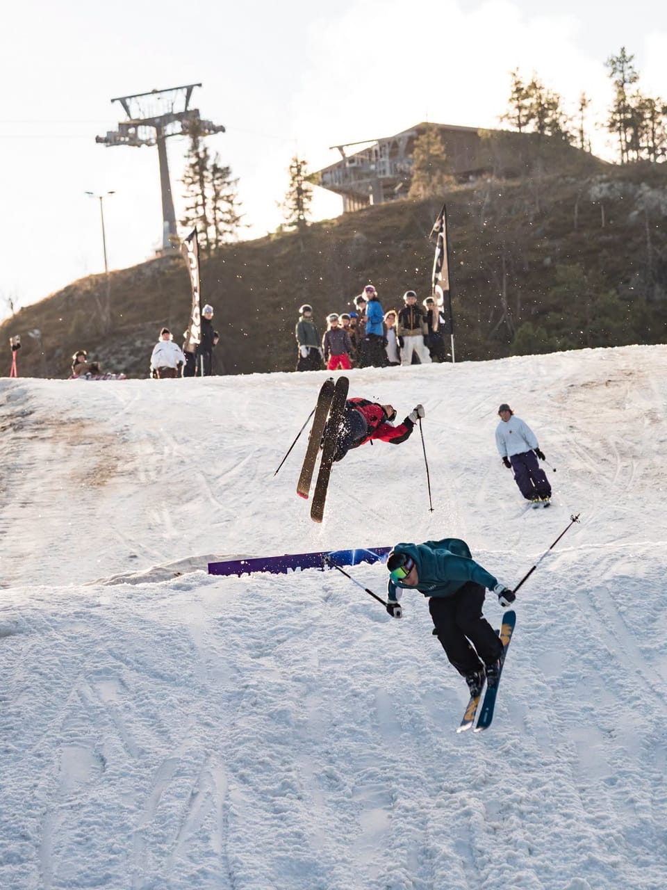
Northern Hemisphere Weekly Snow Roundup #323
Weekly Snow News for Europe, updated 16 July 2026: Extreme Alpine heat above 4,000m (13,000ft) forces Tignes to close early, while Hintertux retains the Northern Hemisphere’s most skiable terrain despite rapid snowmelt.
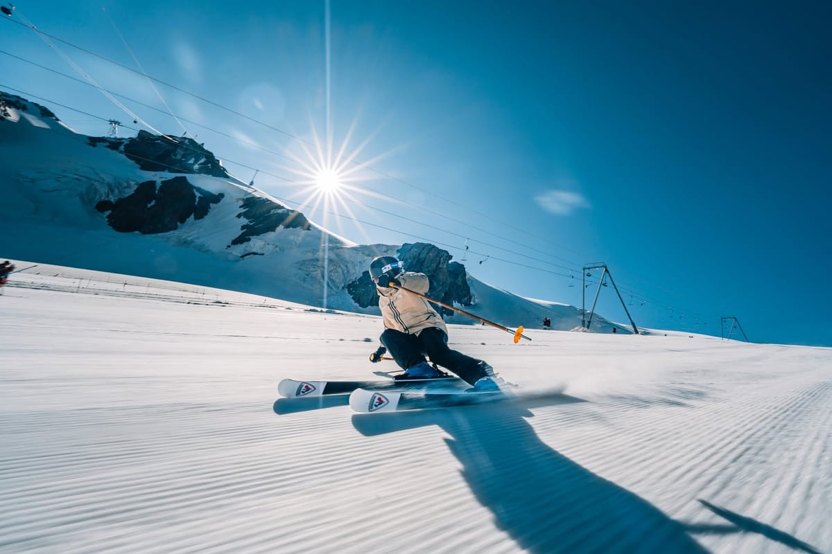
- Alpine heat continues to accelerate glacier snow loss across Europe.
- Tignes has closed early due to unsafe glacier conditions.
- Hintertux remains the Northern Hemisphere's largest summer ski area.
- Timberline is set to close July 19, leaving only Copper's hike-to park.
Europe Report
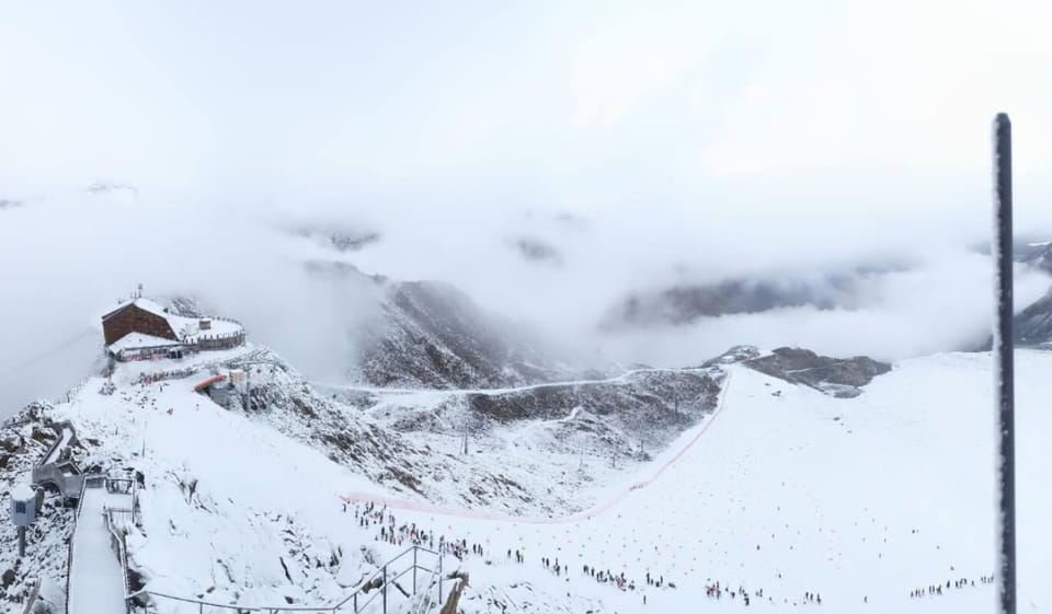
Hot weather continues across the Alps, with freezing levels mostly above 4,000 m (13,000 feet) and temperatures remaining well above zero even on the highest glacier slopes. These conditions are driving several operational changes this weekend. France’s final summer‑ski option, Tignes (0/100cm / 0/40”), was expected to close on this coming Sunday, the 19th, ending the country’s 2026 summer glacier season. However, on Wednesday, the resort announced,
"The Grande Motte glacier will be closed to skiers starting Thursday, July 16. Due to the current state of the glacier, safety conditions are no longer optimal for skiing."
Switzerland’s Saas‑Fee says it still plans to reopen for the 2026–27 season despite the sustained heat, with lifts running between 7 am and noon initially.
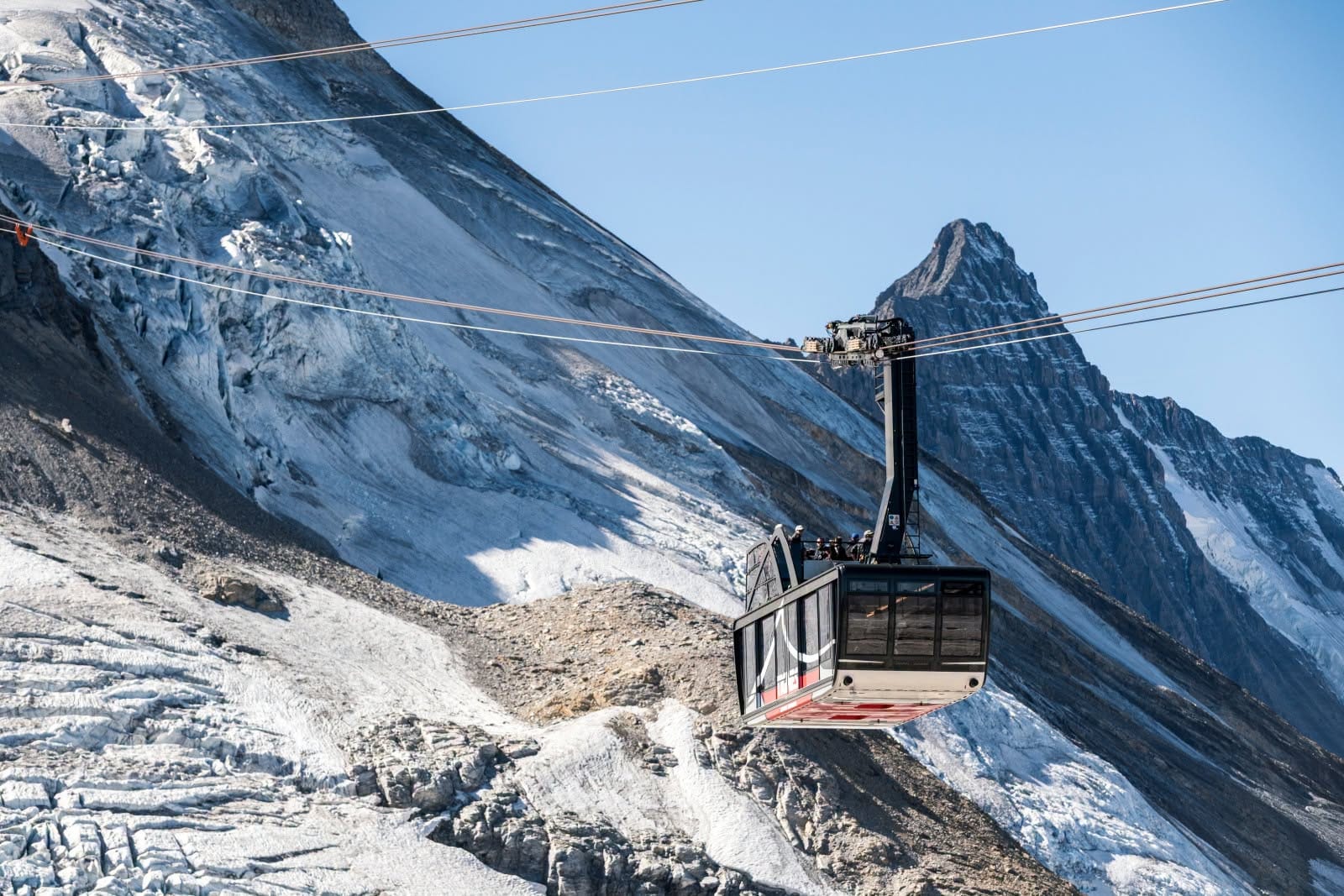
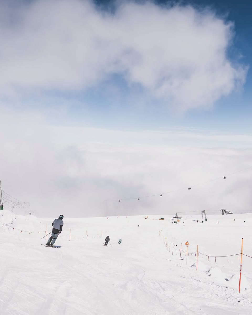
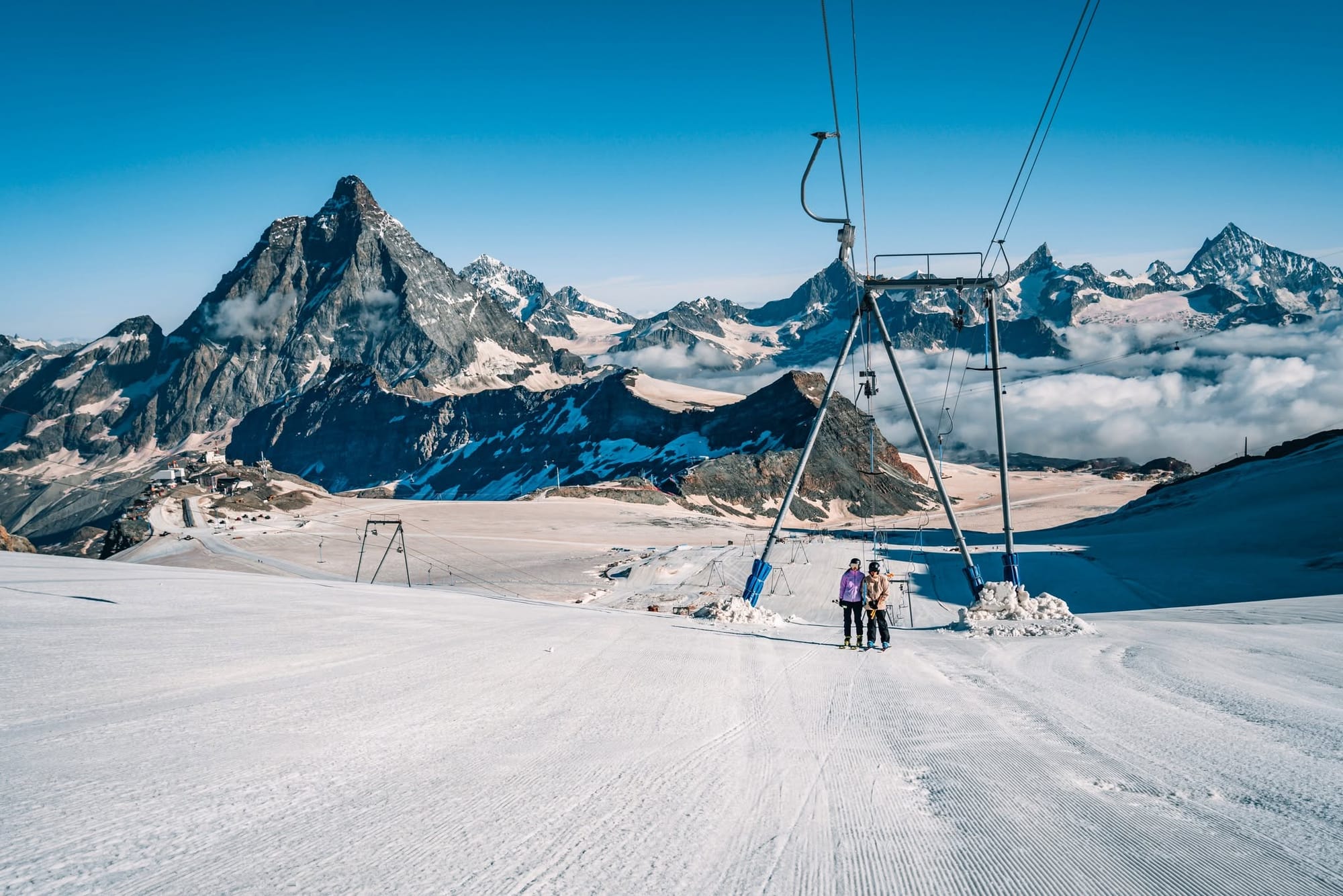
Three other Alpine centres remain open: Austria’s Hintertux, Zermatt's Matterhorn Glacier Paradise (0/100cm / 0/40"), also accessed from Cervinia and reporting about 14km/9 miles of slopes open, and Italy's Passo Stelvio. (0/150cm / 0/60”). All have been battling rapid snowmelt. Hintertux (0/50cm / 0/20"), which reported over 3 m (10 feet) of snow a few months ago and 1.5 m a few weeks ago, is now down to around 50 cm and is expected to shut for several months later in July, though no date has been announced. It still has the most terrain open in the northern hemisphere and is still one of the most in the world at present, with 24km (15 miles) of slopes still skiable.
In Scandinavia, Norway’s Galdhøpiggen summer ski area (0/100cm / 0/40”) is still operating on the region's highest slopes. Warm, sunny weather here, too, may trigger its usual midsummer closure period in the coming weeks.
Europe Forecast
Clear, warm high‑alpine weather continues across Europe’s remaining summer‑ski areas. Saas‑Fee and Zermatt stay mostly sunny with firm early‑morning glacier surfaces above 3000 m before softening into the afternoon. Hintertux sees similarly stable conditions, with only light winds on the Gefrorene Wand. Passo Stelvio remains dry and bright, preserving its mid‑summer lanes overnight. Tignes holds a mild, settled pattern on the Grande Motte. Farther north, Galdhøpiggen enjoys long, clear spells and cool nights that should help keep its snowfield in decent shape.
North America Report
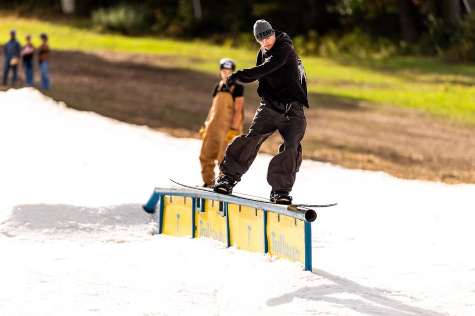
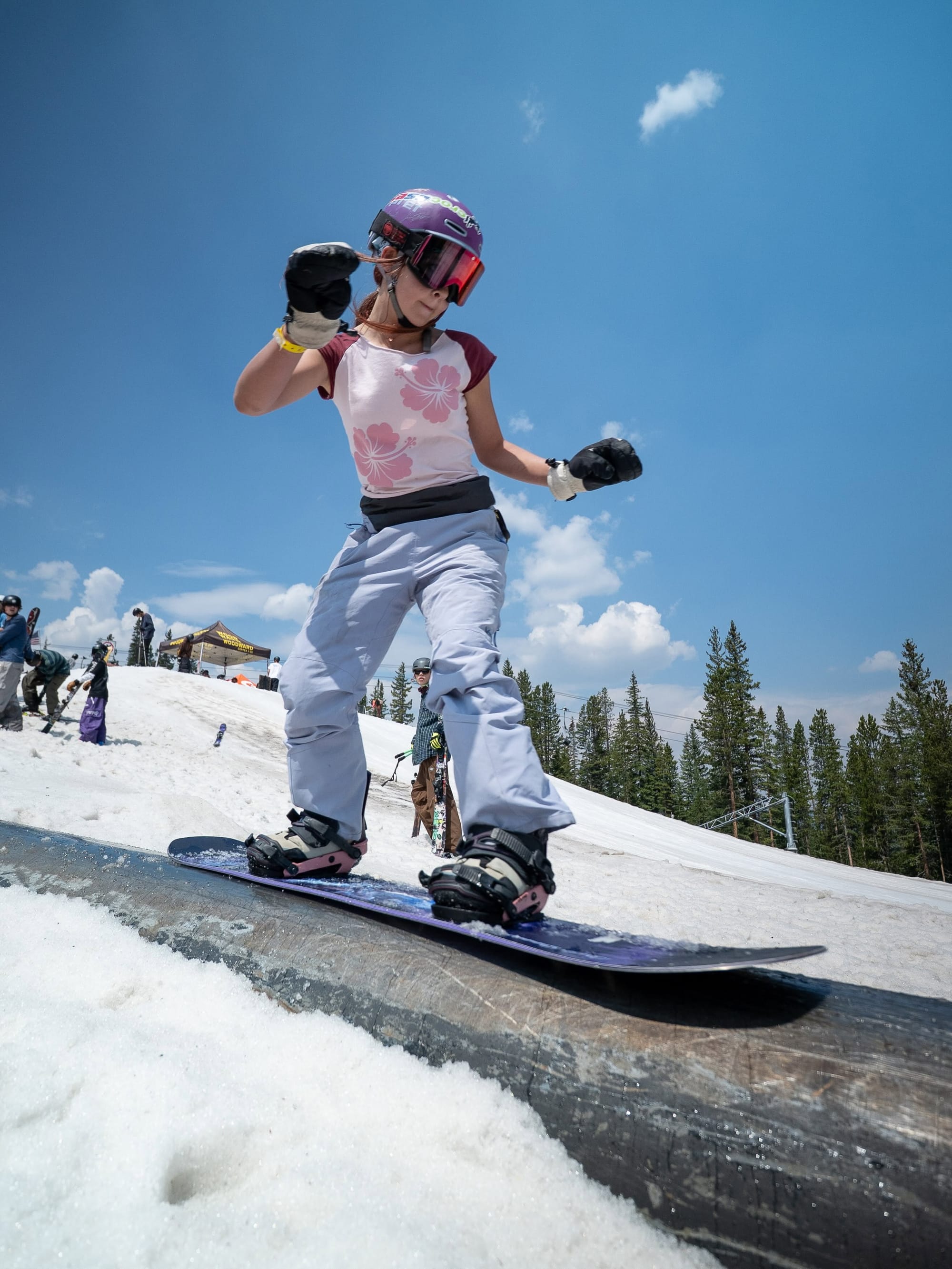
The Western US remains hot, with little change in the weather pattern, but major operational shifts are expected this weekend. North America’s last lift‑served summer skiing, on the Palmer Snowfield above Timberline on Mt Hood, is still scheduled to close on Sunday, July 19, a month earlier than usual. The resort announced in spring that poor winter snowfall left insufficient snow depth to sustain operations through the warmer months, and no update has been issued since. If Timberline does close as planned, only the hike‑to terrain park at Copper Mountain (open Thursday–Sunday) will remain available next week. That would reduce North America’s summer skiing options to a single non‑lift‑served operation.
North America Forecast
A settled pattern holds across the western US. Timberline stays clear and cool overnight, with mid‑20s to low‑30s °F keeping the Palmer Snowfield firm early before softening into the 40s–50s °F under bright skies. At Copper Mountain’s hike‑to summer terrain park, expect mild, stable weather with upper‑30s to mid‑50s °F and light winds. No new snowfall is indicated, so both areas rely on overnight freezes (hopefully) to preserve surface quality.