Southern Hemisphere Weekly Snow Roundup #322
Weekly Snow News for the Southern Hemisphere, updated 8 July 2026: New Zealand gains up to 80cm (32”) snow, while Australia’s 30cm (12”) storm reopens terrain.
- Australia has improved after fresh snowfall, reopening some terrain, though coverage remains limited.
- New Zealand saw the biggest gains, with heavy snow bringing most resorts online and deeper bases.
- Argentina and Chile are improving, with most resorts open but thin snow cover and restricted terrain.
- South Africa remains limited, relying mainly on machine-made snow with little natural coverage.
Southern Hemisphere Intro
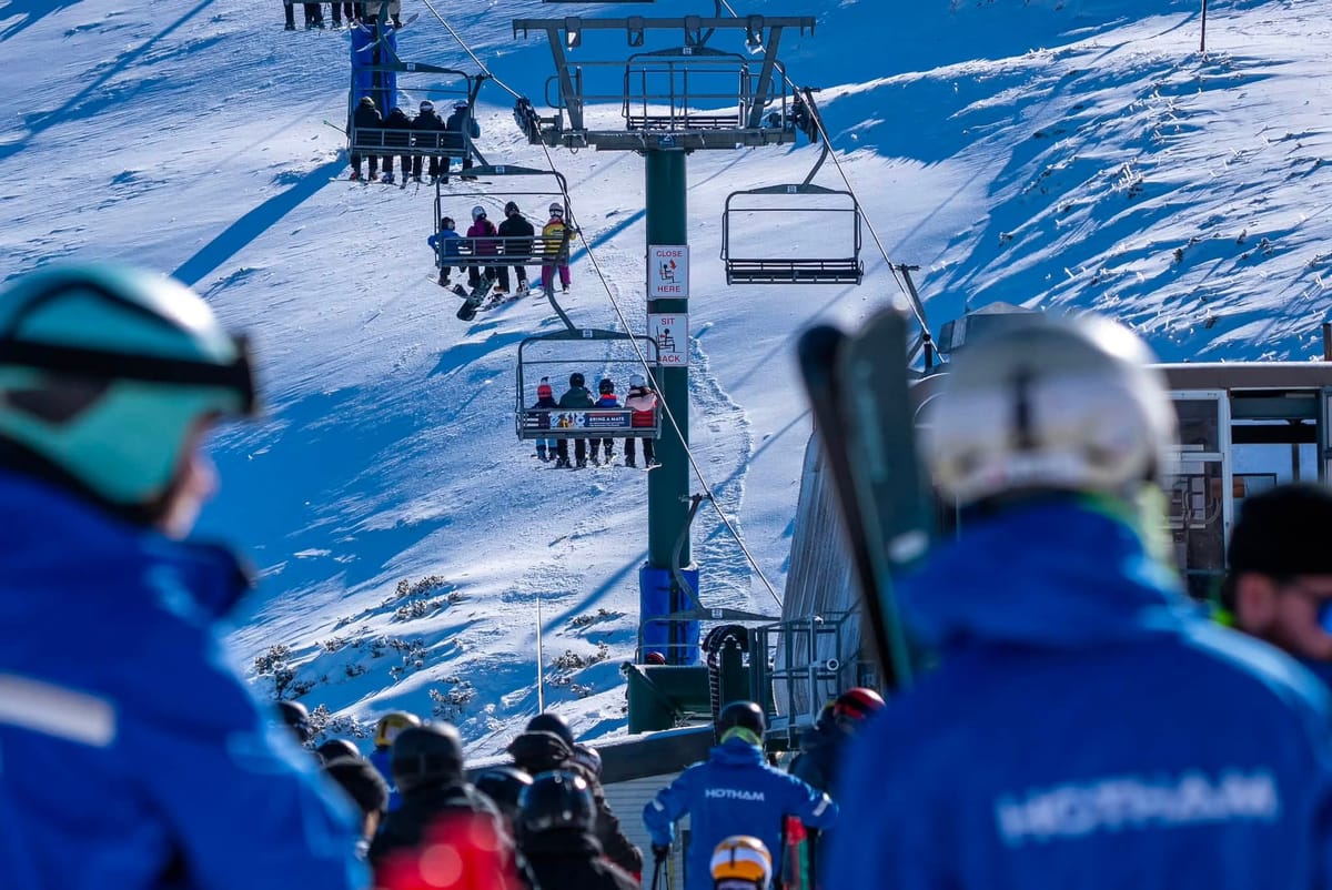
There are signs of improvement across the Southern Hemisphere this week after a slow start to the 2026 season. Australian ski areas are celebrating after around 30cm (12”) of snowfall improved conditions, allowing some centres to reopen. Most New Zealand resorts are now operating, with colder weather and the biggest snowfalls of the week—up to 80cm (32”)—making it finally feel like winter has arrived. The Andes are also seeing gradual improvement.
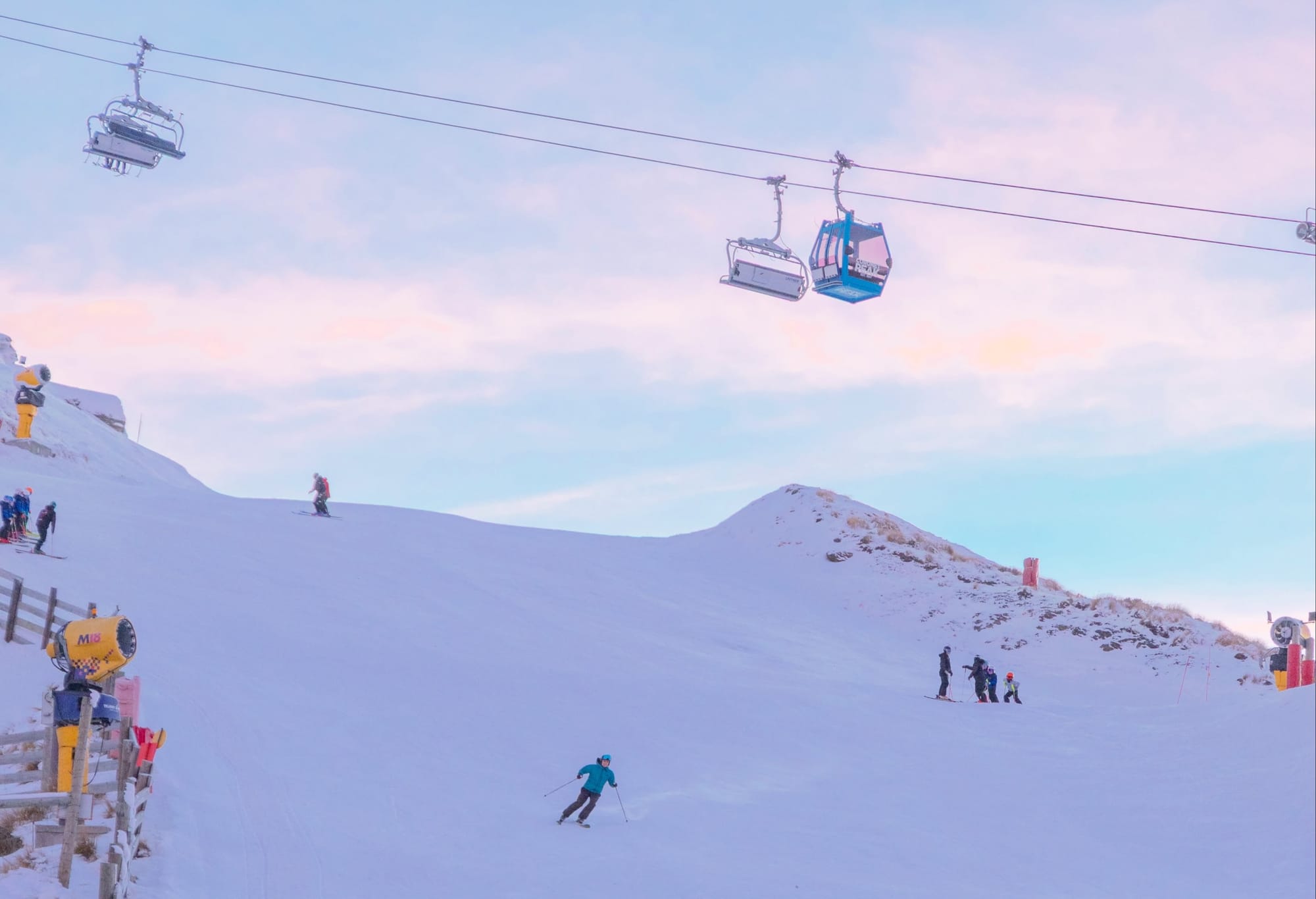
While snowfall has been less significant than in New Zealand, almost all Chilean resorts were open by last weekend, and most Argentine areas are now operating after colder weather and fresh snow. However, coverage remains limited. Until Tuesday, no resort had a base deeper than 60cm (24”), and no area had more than 12km (7 miles) of terrain open. Wednesday brought a major improvement in New Zealand, with one area exceeding a 1m (40”) base after heavy snowfall. After weeks of little progress, conditions are now moving in the right direction.
Australia Snow Report
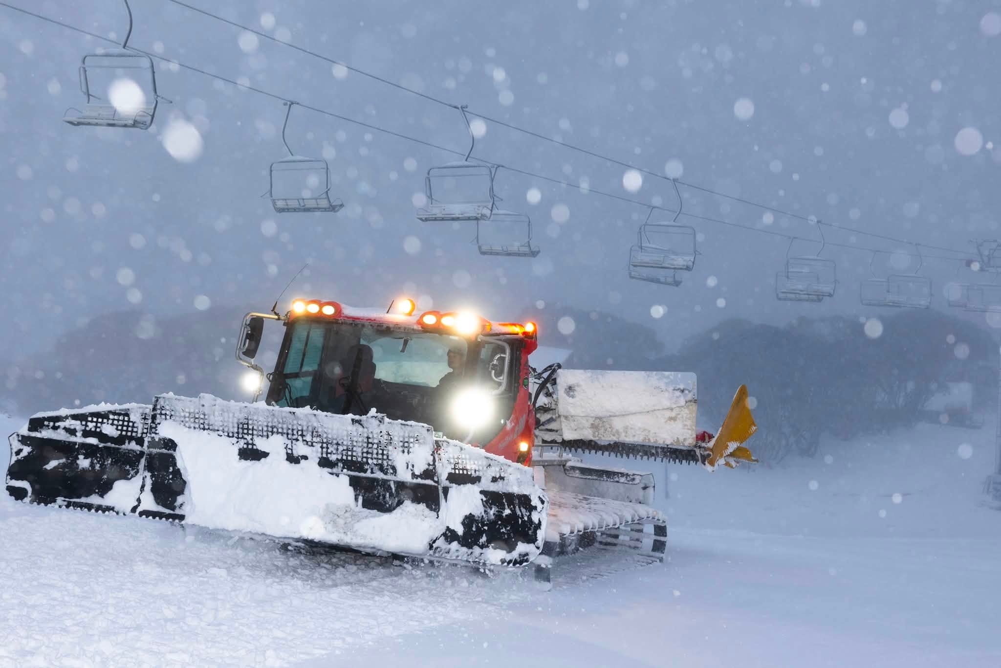
Australian ski areas received significant snowfall at the end of last week, allowing some resorts to begin their seasons, improving conditions at open areas, and reopening terrain that had closed during the mild, dry June weather. Resorts reported up to 30cm (12”) of fresh snow before the weekend.
A spokesperson for Hotham said:
“What a difference a day can make on the mountain! Hotham woke to a storm total of 30cm…with cold temperatures helping get the snow guns firing.”
Perisher reported 20cm overnight, with continued snow and strong winds. Falls Creek has reopened beginner terrain and plans to expand operations as conditions improve. Despite the positive snowfall and snowmaking temperatures, Australian resorts still have significant ground to make up, with only around 1–5% of terrain open at many centres.
Australia Snow Forecast
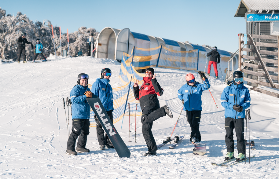
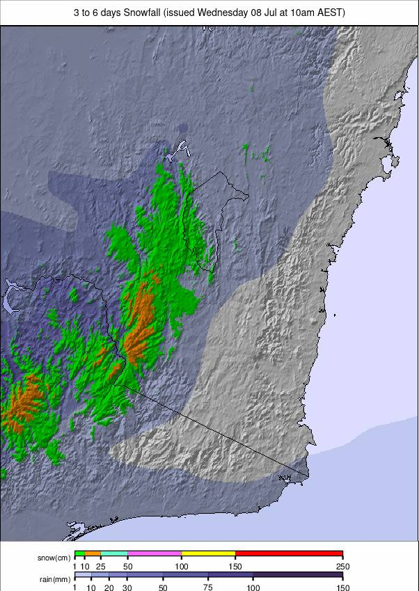
Clear and settled weather is expected across Australia’s ski regions through midweek, with sunny days and cold nights helping preserve snow cover on higher slopes. Summit temperatures should remain around –3°C to –6°C, while valley temperatures rise to 7–10°C. A weaker, milder system arrives late in the week, bringing cloud, cooler air, and patchy light snow or flurries to the Snowy Mountains and Victorian Alps. Forecast totals are modest at 5–15cm (2–6”), but should refresh higher terrain before conditions ease into Sunday.
New Zealand Snow Report
A winter storm moved across New Zealand over the weekend and into early this week, arriving at an ideal time as school holidays began. Cardrona reported 30cm of fresh snow, while Treble Cone received 25cm in the first 24 hours to Monday. Treble Cone opened for the season on Monday with the Home Basin and Triple Treat trails available.
“This is the dump we’ve been waiting for. More terrain will come online at Cardrona as the snow keeps falling and snowmaking continues,” said Cardrona and Treble Cone Chief Mountains Officer Laura Hedley.
By Wednesday, conditions had improved significantly, with storm totals reaching up to 80cm (32”) at several resorts, including Mt Lyford and Mt Dobson. Mt Hutt became the first Southern Hemisphere resort this season to report a base above 1m, with 45/110cm (18/44”) of snow. Resorts are now focused on clearing access roads and preparing slopes for expansion.

New Zealand Snow Forecast
As the current storm clears, sunny conditions will dominate through midweek, with cold nights keeping upper mountain snow firm. Summit temperatures will range from –5°C to 0°C, with bases reaching 6–8°C in the afternoons.
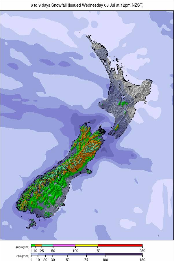
A colder front arrives late in the week, bringing significant weekend snowfall to the Southern Alps. Forecasts suggest widespread snow, sub-zero summit temperatures, and totals of up to 50cm. North Island areas should also see fresh snow and stronger winds returning to Ruapehu.
Argentina Snow Report
Argentina’s season remains slow, with limited terrain open and several resorts still waiting to begin operations. Cerro Catedral (5/5cm, 2/2”), the Southern Hemisphere’s largest ski area, has finally opened, but only 1% of terrain is operating on a very thin base.
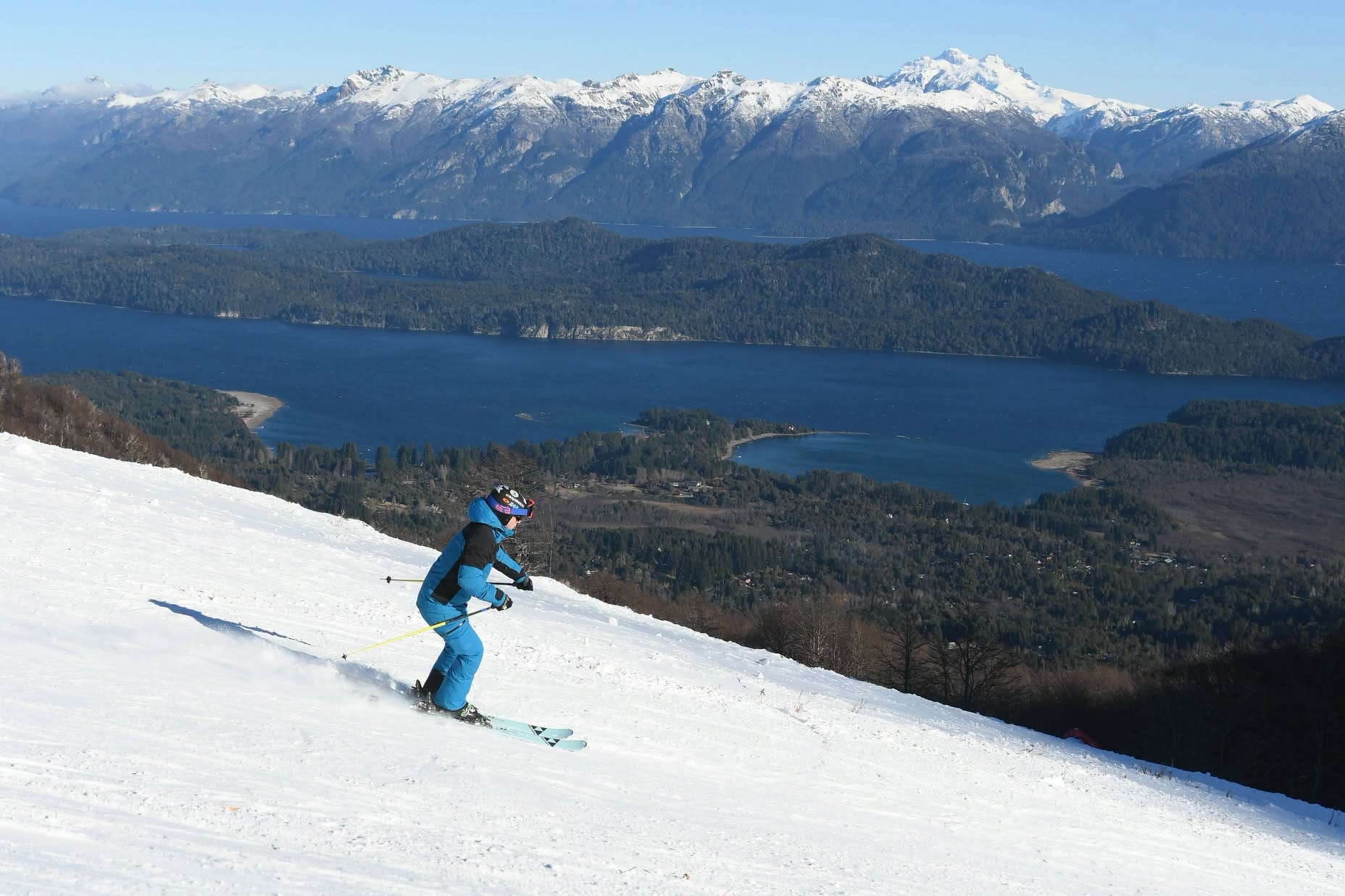
Cerro Castor (5/15cm, 2/6”), the world’s most southerly ski area, currently offers the most skiing, with 13% of terrain open. Cerro Bayo (0/25cm, 0/10”) has a similar amount available, while closed areas report deeper snow, including Chapelco with 66cm (25”) at the top. Recent snowfall has improved upper mountain conditions, but overall coverage remains limited.
Argentina Snow Forecast
Sunny periods and scattered showers will continue through midweek, with occasional rain possible on lower slopes. Higher elevations will remain colder, with snow showers around Bariloche, Chapelco, and Caviahue.
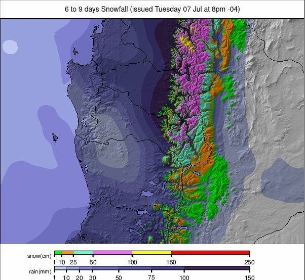
A stronger, colder system arrives next weekend, bringing more widespread snowfall to Patagonia and the southern Andes, with falling temperatures and improved winter conditions expected across major resorts.
Chile Snow Report
Most Chilean resorts have avoided the unsettled weather affecting Argentina, with generally sunny conditions in the north. Temperatures have remained low, providing excellent snowmaking opportunities. Portillo (25/40cm, 10/16”) reported highs of –1°C and overnight lows of –15°C. Nearly all Chilean resorts are now open, although Antillanca (20/40cm, 8/16”) and Pillán–Villarrica (30/40cm, 12/16”) are currently operating only on weekends.
Corralco (20/55cm, 8/22”) has the most open terrain, with 12km (7 miles) of runs available—more than 40% of its area. Further south, Nevados de Chillán (20/30cm, 8/12”) has seen some recent snowfall and more unsettled conditions.
Chile Snow Forecast
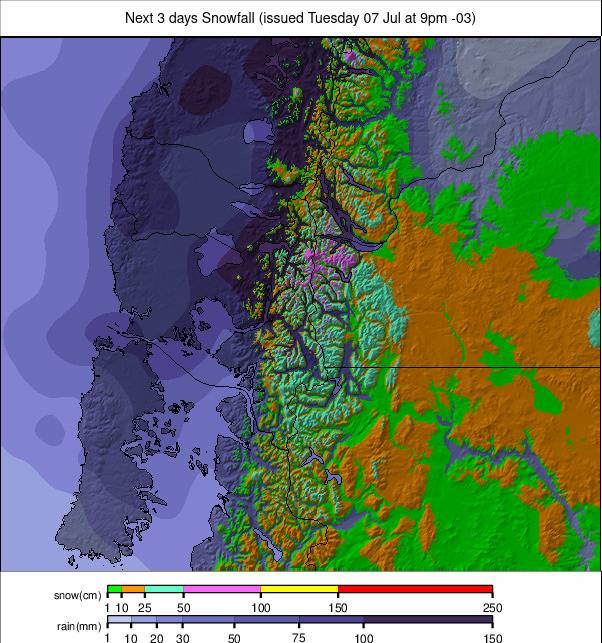
Snowfall and sunshine will alternate across Chile’s ski regions through midweek. Higher slopes will remain firm, with summit temperatures between –4°C and 3°C. A colder system arrives late in the week, bringing periods of heavy snow to Valle Nevado, La Parva, Portillo, and Nevados de Chillán. Upper mountain areas could receive more than 30–50cm (12–20”) in 24 hours, with short clear periods between snow bands.
South Africa Snow Report
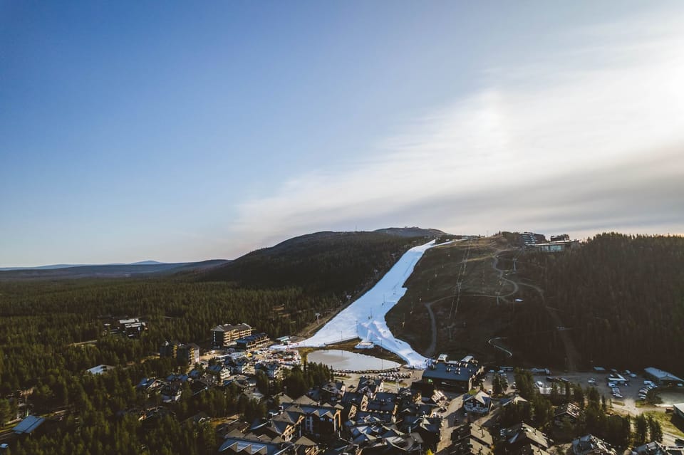
With little fresh snowfall over the past month, Afriski (5/20cm, 2/8”) remains dependent mainly on machine-made snow. The main run has continuous but thin coverage, with grooming maintaining good piste conditions. Overnight freezes help preserve the base, although there is currently no natural off-piste snow cover.

South Africa Snow Forecast
Afriski remains in a settled early-winter pattern, with mountain temperatures between –7°C and 9°C and base temperatures from –5°C to 11°C. Clear periods and occasional cloud will maintain cold nights suitable for snowmaking. Days will be mild, especially at lower elevations, with only brief flurries possible on exposed ridges.