Southern Hemisphere Weekly Snow Roundup #321
Weekly Snow News for the Southern Hemisphere, updated 2 July 2026: Australia finally gets fresh snowfall, New Zealand's season builds a little momentum and more ski areas in the Andes open but with very limited terrain skiable here too so far.
- More New Zealand ski areas belatedly open for season after fresh snowfall.
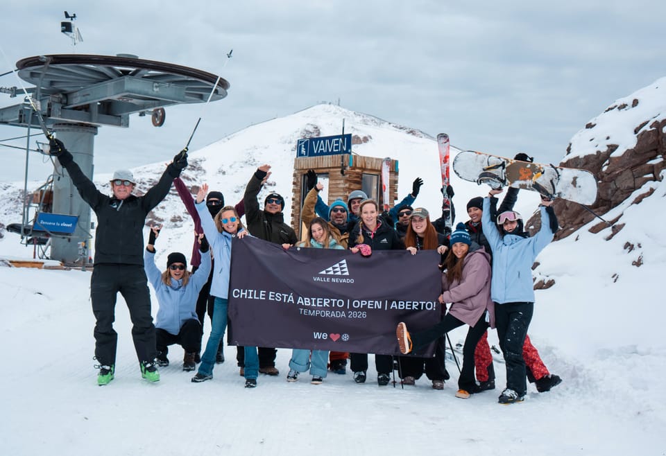
- Most ski areas in Chile now open with limited terrain, Portillo to join them on Saturday.
- Australian ski areas see fresh snowfall and hope for improved conditions.
- Most Argentinian centres closed, but planning to start opening this weekend.
Winter remains slow to arrive across much of the Southern Hemisphere. Australia has only short, snowmade strips open, but a sharp cold front this weekend could finally bring 10–20 cm of natural snow, with some rain lower down. New Zealand has limited terrain running thanks to snowmaking, and a stronger wintry outbreak late week may deliver further snowfall, especially on South Island fields. Argentina continues to struggle with thin cover and widespread closures, while Chile stays cold but mostly dry with only small areas open. Afriski in Lesotho remains operational, with a brief dusting possible before clearer, colder weather returns.
Australia Report
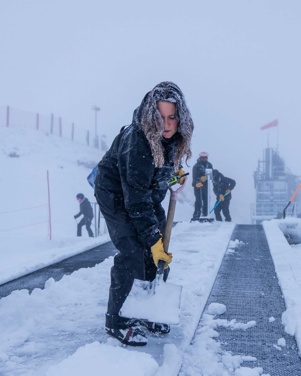
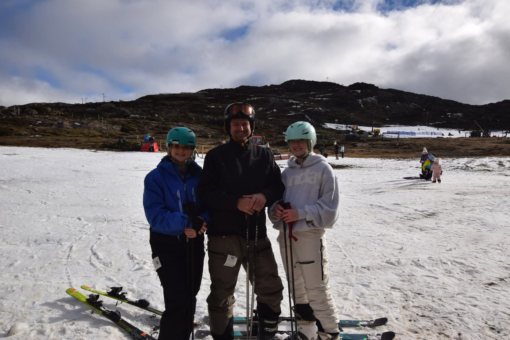
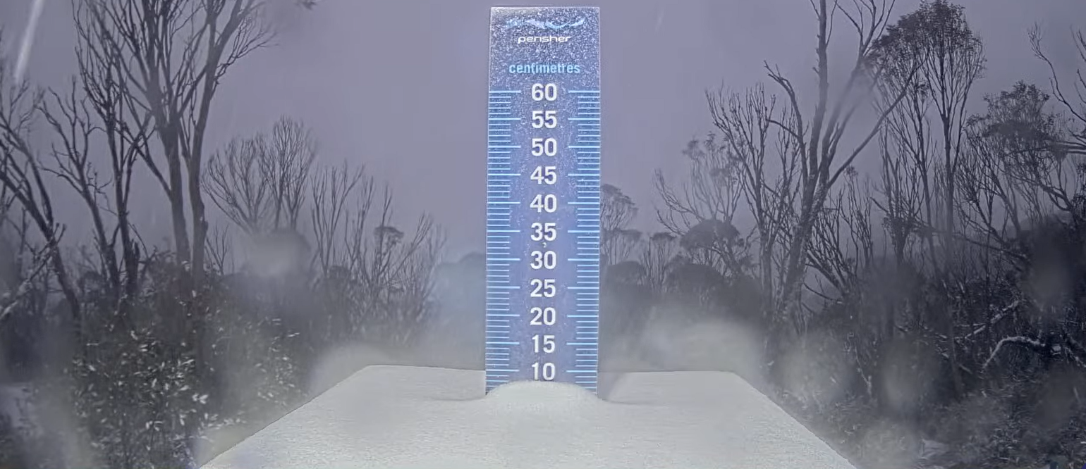
Australia’s season remains on hold, but colder nights have allowed for more snowmaking with some fresh snowfall in the past 12 hours have created a slightly more positive picture. Tasmania's Ben Lomond said snowmaking was enough to open a short run at the weekend. Until Thursday there had been little or no fresh snow, again so it was a bit of a holding pattern from last week with Mt Buller (0/33cm / 0/13"), Thredbo (13/13cm / 5/5") and Corin Forest all maintaining small areas of snow, generally less than 1km, thanks to all-weather snowmaking. Perisher (0/5cm / 0/2") is also open with a similar small snow area. Unofficial images and webcams show all these small areas getting very heavy use due to the number of people wanting to get on the snow. Other areas remain closed until conditions improve. Wednesday night did finally bring a little respite though with 5-10cm snowfalls recorded and snow still arriving as we publish this week's report.
“There's a real buzz around Hotham today after overnight snowfall, and with heavy snow forecast tonight, anticipation is building across the entire village. In snowfall terms consider this the entrée before the main course this evening! We can't wait!” said Alex Pankiw, Manager Brand + Experience, Hotham on Thursday.
Australia Forecast
Further snowfall is expected for Australian slopes from Thursday, 2 July, as a sharp cold front drives in much colder air and widespread wintry conditions, although there may be rain on the front of it. Snow levels fall to around 1200–1400 m, with steady snowfall through Thursday and Friday delivering 10–20 cm (4-8”) on the upper slopes of Perisher, Thredbo, Hotham, Falls Creek and Buller with rain, potentially, at lower elevations at times. Strong winds ease into Saturday, leaving lighter flurries and improving visibility. Temperatures stay low enough for continued snowmaking, and natural cover should firm up noticeably with this much‑needed top‑up.
New Zealand Report
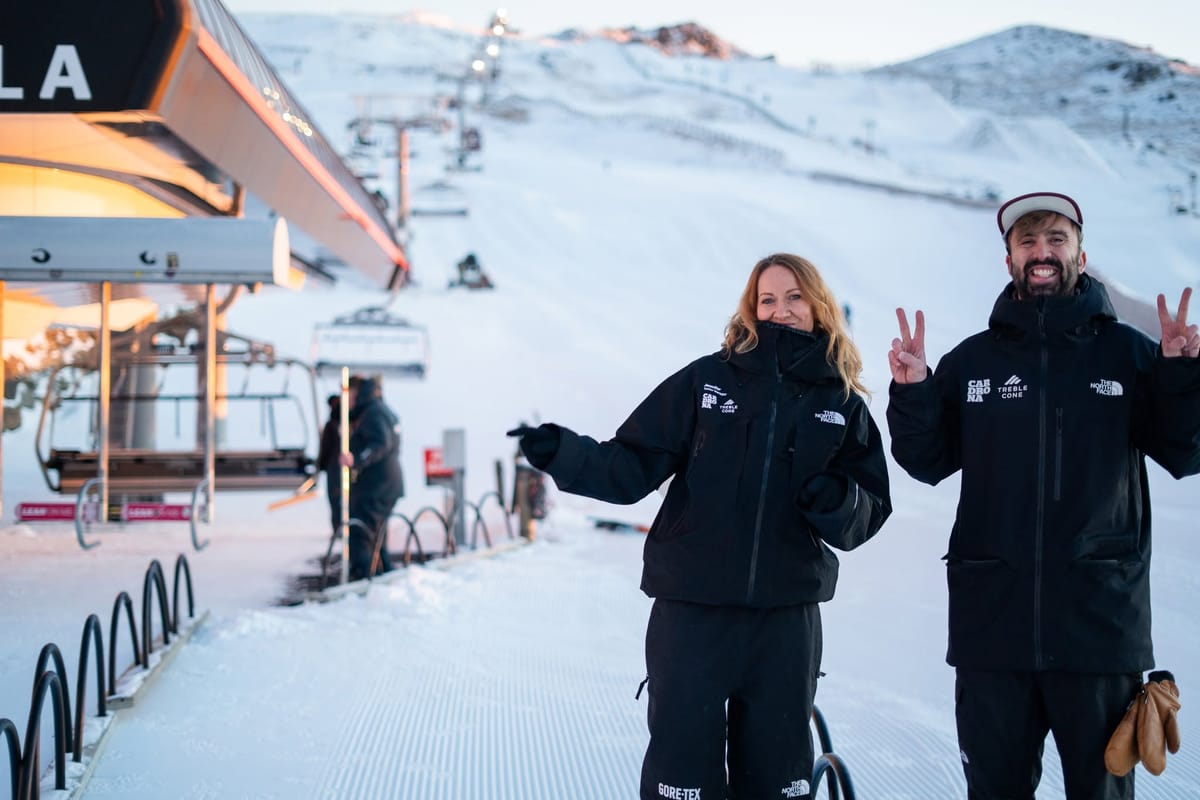
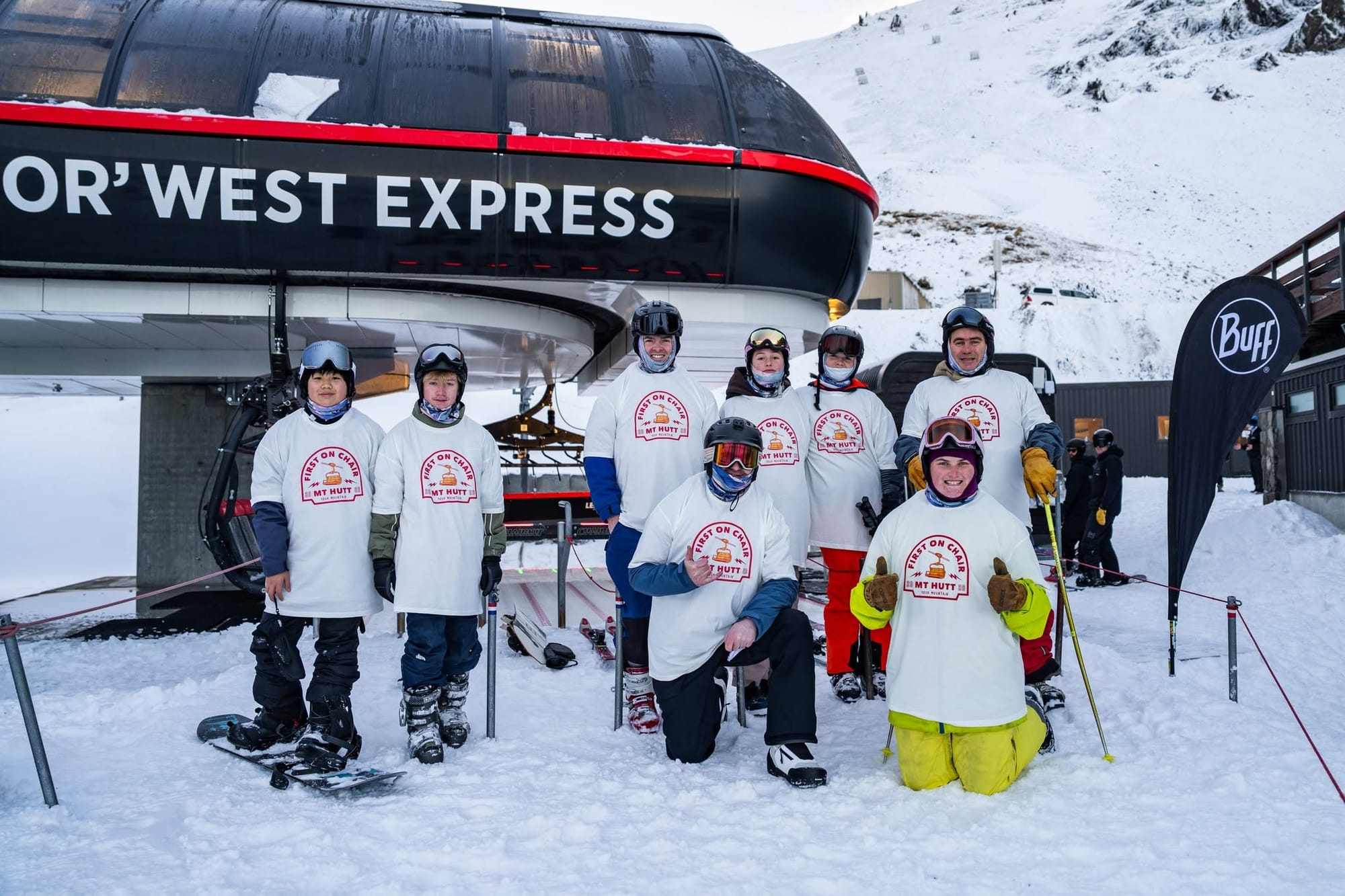
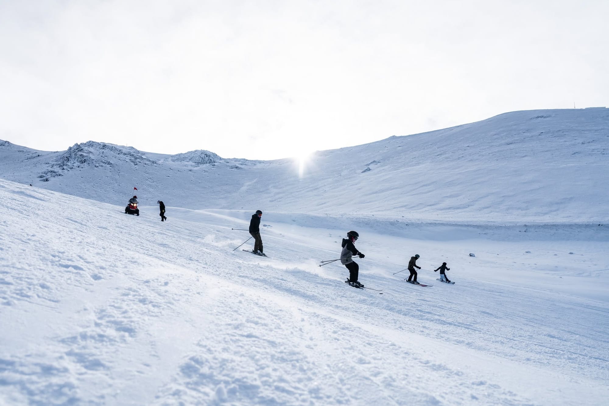
After snowfall at the end of last week and, crucially, cold enough temperatures for snowmakers to do their thing, New Zealand's ski areas were finally able to open some terrain to start June, although it was limited. Cardrona was first, last Friday, focused on beginner terrain and a rail park, followed by The Remarkables and Mt Hutt on Saturday. The latter ran its Nor’West Express and Magic Carpet lifts whilst working to get their upper mountain terrain going as soon as possible. The Remarkables got its Alta Chair open on Sunday, meaning more terrain to explore, but advised that due to early-season conditions, Alta Green was operating as intermediate terrain. The two joined Coronet Peak, which had been the only area already open, with limited terrain again, thanks to its all-weather snowmaking machine. It now has its Coronet Express II chair open, too.
Commenting on their opening, Cardrona's Chief Mountains Officer, Laura Hedley, said it was a great first day on the mountain. "The snowmaking team has worked incredibly hard to get us here, and the natural snow mid-week was a welcome boost. It was a fantastic day to be on the mountain - and this is just the beginning. We'll continue snowmaking through the cold temperatures ahead, and more terrain will open as conditions allow."
There has not been enough snow and cold yet for some areas, though, with new delays still being announced. More resorts, including Treble Cone, were forced to delay opening plans despite the new snow, with conditions deemed too marginal there. Mt Dobson announced on Tuesday it won't be opening this weekend as planned, and looking further ahead, Rainbow ski area said their mid-July opening was in doubt unless there was a serious weather improvement.
New Zealand Forecast
A promising-looking shift to wintry weather to end the week is forecast for much of New Zealand, with a series of cold fronts bringing widespread snow and much lower temperatures. South Island fields look set for the heaviest falls, with 15–30 cm (6-12”), and potentially much more in some areas, possible at higher elevations around Queenstown and Canterbury, and lighter but still useful accumulations on mid‑mountain terrain. On the North Island, Ruapehu also turns colder with periods of snow and stronger winds. Snow levels dip well below 1500 m, and conditions stay unsettled into Saturday before gradually easing, hopefully leaving a markedly refreshed natural cover.
Argentina Report
Things are not going well with Argentina's season start, with more delays and most centres still closed. Temperatures have been low, cold enough for snowmaking where available, but there's been little natural snowfall, hence resorts, including the country's largest, Cerro Catedral, are reporting only a few centimetres of snow cover so far. The past week has continued predominantly wall-to-wall sunshine, overnight lows in the zero to -10C range at altitude, about five degrees warmer at base level. Cerro Bayo (0/20cm / 0/8”) remains open but with very thin cover and just a few hundred metres of slopes open.
Argentina Forecast
Unfortunately, sunshine continues to dominate northern Argentina’s ski areas, with clear skies and cold, stable conditions forecast to continue across Las Leñas, Penitentes, Vallecitos and other Mendoza‑region resorts. Expect –10 to –2 °C on upper slopes and crisp freezes overnight. Further south, a weak disturbance brings periods of cloud and light snowfall, with modest top‑ups mainly at higher elevations. Ushuaia, home to Cerro Castor, stays colder and more unsettled, with occasional snow showers. Overall, natural cover holds firm, with the south likely to be the only area seeing meaningful new snow.
Chile Report
After another cold but mostly dry week, most of Chile's ski areas were open for the final weekend of June. There is, though, very limited terrain available so far, and most of what there is is thanks to snowmaking efforts. Valle Nevado (10/30cm / 4-12") and Corralco (5/25cm) are each posting some of the larger skiable areas at about 4km (2.5 miles) so far, less than 15% of their terrain.) Portillo, however, has delayed its opening for a second time although has now confirmed it plans to open limited terrain from this coming Saturday 4 July. Open resorts are managing to add a little terrain thanks to snowmaking as temperatures have been low, dipping below -10C overnight. Valle Nevado reports half a dozen lifts open and about 3.5km (2 miles) of slopes. Nevados de Chillan is the latest to open some novice terrain.
Chile Forecast
It’s good news for snowmakers but not for natural snowfall with Chile’s ski areas continuing in a mostly clear, colder pattern from Thursday, 2 July, with strong overnight freezes and bright, stable days across Valle Nevado, La Parva, El Colorado and Portillo. Summit temperatures will frequently drop to –15 to –6 °C, overnight with bases nearer –4 to +2 °C. A weak disturbance around late Saturday may bring a dusting of natural snowfall on higher terrain, but accumulations look light. Overall, it’s a crisp, sunny stretch with excellent snowmaking windows but only brief wintry spells.
Southern Africa Report
Lesotho’s Afriski (10/30cm / 4/12") continues to operate and is believed to have its full mile-long ski run open, thanks to snowmaking. Temperatures appear to have been challenging this week, getting well into double figures above freezing in the daytime, even at 3,000m, however overnight lows under the clear skies continue to dip far enough below freezing for snowmaking top-ups as required.
Southern Africa Forecast
Colder conditions forecast from Thursday as a wintry pulse sweeps across the Maloti Mountains. Summit temperatures plunge to –13 to –5 °C, with the base sitting between –11 and –3 °C, delivering hard overnight freezes and firm early‑morning surfaces. Thursday brings the only notable precipitation signal, with <1 cm of light snow possible as a fast‑moving disturbance crosses the region. Winds peak from the southwest before easing into Friday, and skies clear again for the weekend.