Southern Hemisphere Weekly Snow Roundup #282
Weekly Snow News for the Southern Hemisphere, updated 1 October 2025: NZ tops up with 15cm (6"), Australia and Chile eye late-season snow; spring conditions dominate as closures near.
- Spring turns dominate as the final week looms in Australia
- Fresh 15 cm (6") at Cardrona kick-starts NZ’s last week
- Chile keeps turning with late flurries and colder nights
- Argentine season winds down to two areas on limited terrain
Jump to: Australia | New Zealand | Argentina | Chile
Australia
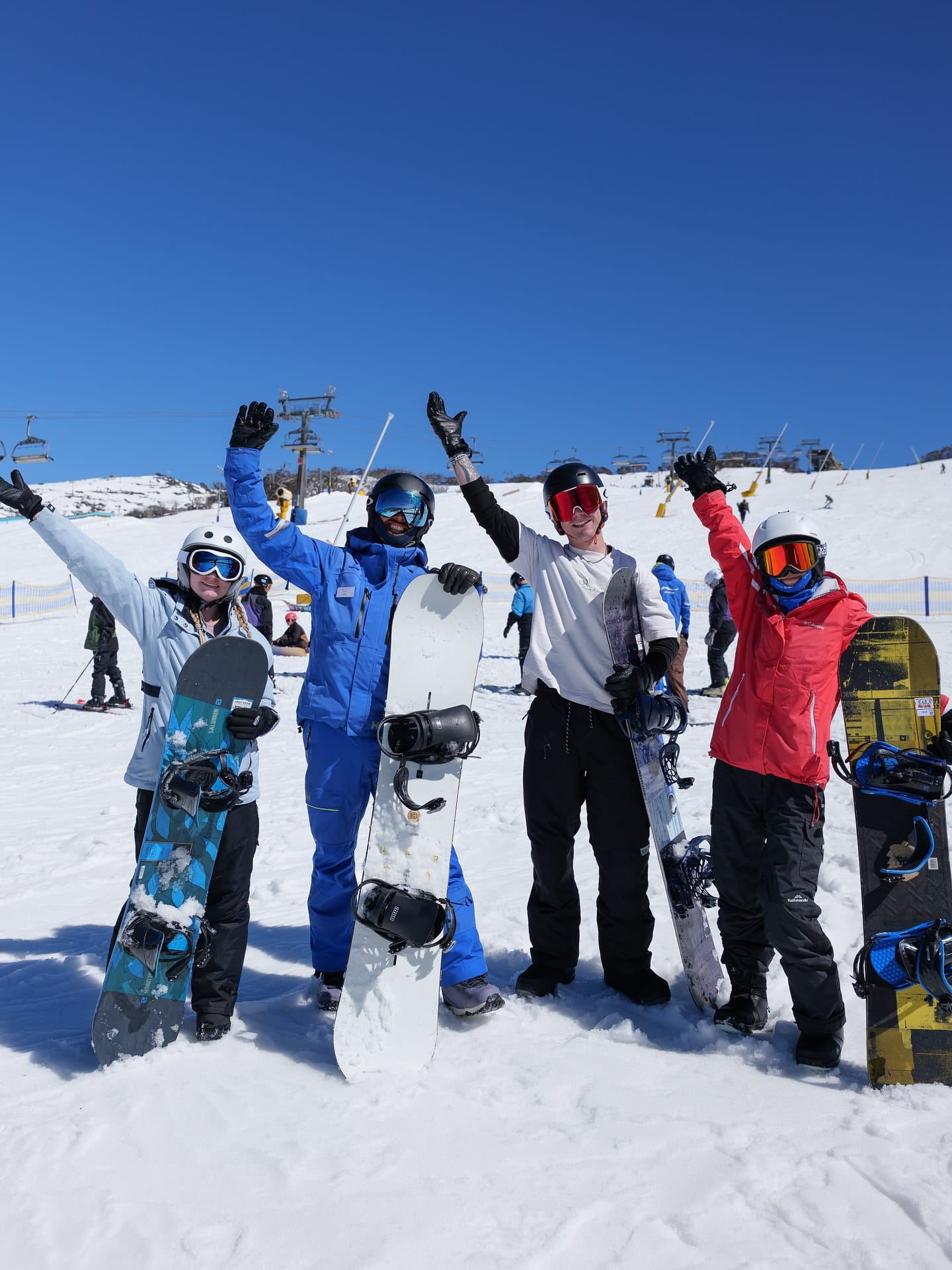
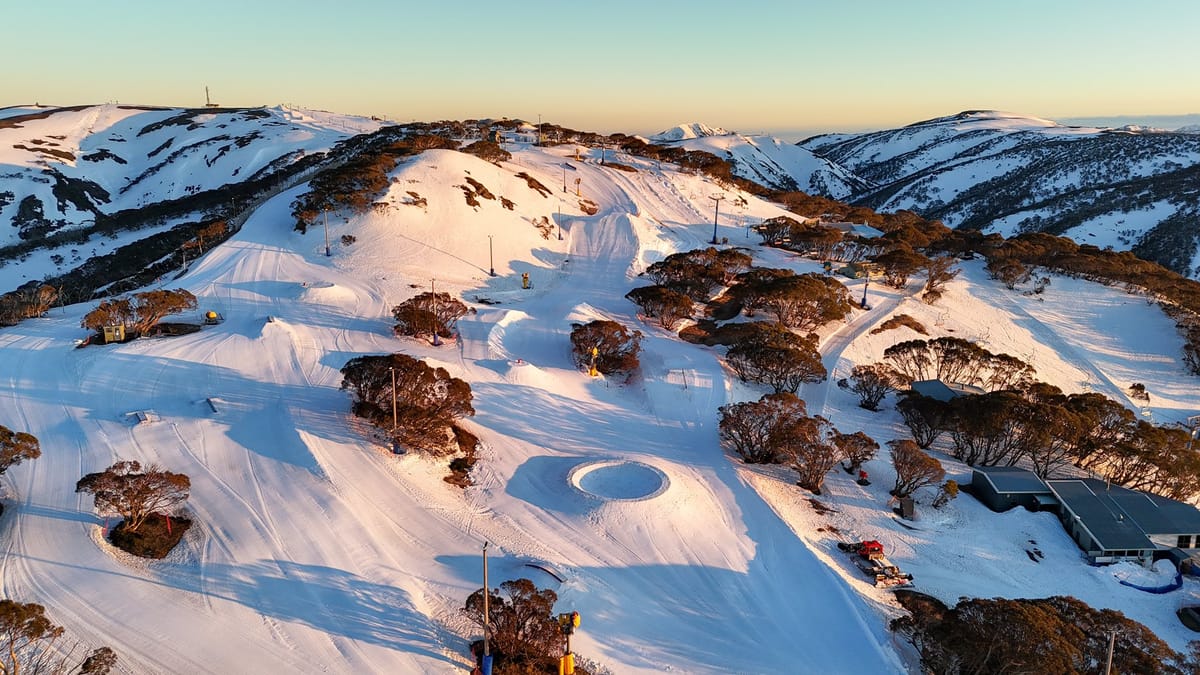
We’re into what’s expected to be Australia’s final week of the 2025 season, unless there are any last-minute season extensions. It’s been very springlike, though with temperatures just touching freezing up high overnight, but afternoon highs reaching +15 °C at resort bases. Most of the centres that are still open have reduced to 20–30% of their whole terrain available, with spring conditions the norm, and the best snow typically found in the mornings at higher elevations. Falls Creek (50/70cm / 16/28”) reports the most terrain still available – around 50% of its slopes.
Here, as in other Australian areas, events like pond skims have been taking place in recent days. Seventy-seven competitors took the plunge to attempt crossing the pond at Falls Creek over the weekend, using a combination of skill, luck, and courage. Many also donned their wackiest outfits to celebrate a beautiful spring day on the Falls Creek slopes. Over 50 prizes were awarded for successful crossings, creative costuming, and enthusiasm. “We had a fantastic turnout with beautiful weather, perfect for a pond skim,” said Betony Pitcher, Falls Creek’s Marketing Manager. “It was such a wonderful way to bring the community together to celebrate the great season we’ve had.” Australia’s largest resort, Perisher (85/170cm / 34/68”), currently has about 15 km (nine miles) of runs still open, but continues to post one of the world’s deepest current snow depths.
Forecast
Australian ski areas are heading into a cooler, snowier stretch for their final days of the 2025 season. Perisher and Thredbo could see up to 15 cm (6”) of fresh snow midweek, with temperatures dipping below freezing overnight. Friday brings clearer skies and calmer winds, ideal for spring skiing. Victoria’s Falls Creek expects similar conditions, with firm bases and occasional flurries.
New Zealand
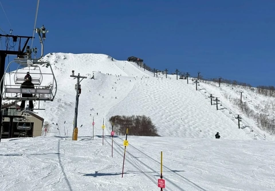
New Zealand’s 2025 season is winding down, but there’s been fresh snowfall over the past few days, and Cardrona (65/95cm / 32/38”) reported 15 cm (6”) of fresh cover on Monday morning to start their final week. This was the latest in a series of snowstorms that have seen base depths increase at some New Zealand ski areas over the past week, after a long period of declining snowfall. The weekend (and the next) saw end-of-season events, such as pond skims, rail jams, and biking-on-snow events, at centres across the country.
Although Kiwi centres have started closing and most of those still open will close this coming Sunday, there are more centres due to stay open later into spring here than anywhere else in the southern hemisphere, with Mt Hutt (132/164cm / 53/66”) and The Remarkables (60/150cm / 24/60”) targeting the 12th and the North Island’s Tūroa (60/140cm / 24/56”) and Whakapapa (80/100cm / 32/40”) on Mt. Ruapehu potentially continuing to the final weekend of the month. Our forecasts keep a further 5–12 cm (2–5”) in play through Thursday for Mt Hutt and light flurries for The Remarkables, supporting those mid-October targets. The snowy weather has continued over the past few days; the only real issue has been strong winds blowing the snow in, closing some roads at times.
Forecast
New Zealand ski areas are set for mixed alpine conditions through the remainder of this week. The Southern Lakes, including Cardrona and The Remarkables, are expected to experience light snow flurries midweek, clearing to crisp, sunny spells by Friday. Canterbury fields like Mt Hutt may see up to 12 cm (5”) of fresh snow, especially on Thursday. Winds will ease into the weekend, with temperatures staying cool and bases holding firm.
Argentina
Argentina’s season is all but over with just two areas, the largest Cerro Catedral (0/20cm / 0/8”) and the most southerly Cerro Castor (0/100cm / 0/40”), both having extended their seasons by a week to this coming Sunday. Both are offering spring skiing conditions on limited terrain, particularly so at Cerro Catedral, which has had very little open all season due to poor snowfall. Cerro Castor, on the other hand, has had the most terrain open and the deepest snowpack of any area in the country all season.
Forecast
Argentina’s ski areas are heading into a cooler stretch up to their final weekend of the season. Cerro Catedral may experience some light snowfall midweek, followed by clearer skies and colder nights by Friday. Wind chill will further drop temperatures, preserve snowpack and improve piste conditions. Overall, expect firm groomers in the morning and occasional flurries.
Chile
Chile’s ski resorts are entering the final stretch of the season with solid snow conditions and cooler weather helping preserve the base. Although resorts, including Portillo, have already begun closing, several more, including El Colorado, Pillán – Villarrica, and Antillanca, are expected to end their 2025 seasons this Sunday. In contrast, several resorts, including Corralco, Valle Nevado, and La Parva, are still expected to be open next week. They continue to report firm groomers in the morning and occasional flurries, with temperatures dipping below freezing overnight. Off-piste terrain is variable, with melt-freeze cycles affecting stability. Snowmaking operations are tapering off as natural snow holds firm at higher elevations.
Forecast
Chile’s ski resorts are entering a colder phase in the latter half of this week with light snow forecast for Valle Nevado, La Parva and Portillo. Midweek forecasts suggest light snowfalls across central resorts, particularly on Wednesday and Thursday, adding a fresh layer for late-season turns. Temperatures will drop steadily, preserving snowpack and improving piste quality. Winds may pick up on Thursday, but clearer skies are expected by the weekend.