Europe Weekly Snow Roundup #287
Weekly Snow News for Europe, updated 5 November 2025: Record early openings across the Alps with Verbier, Murren, and Sulden launching ahead of schedule amid deep glacier snow.
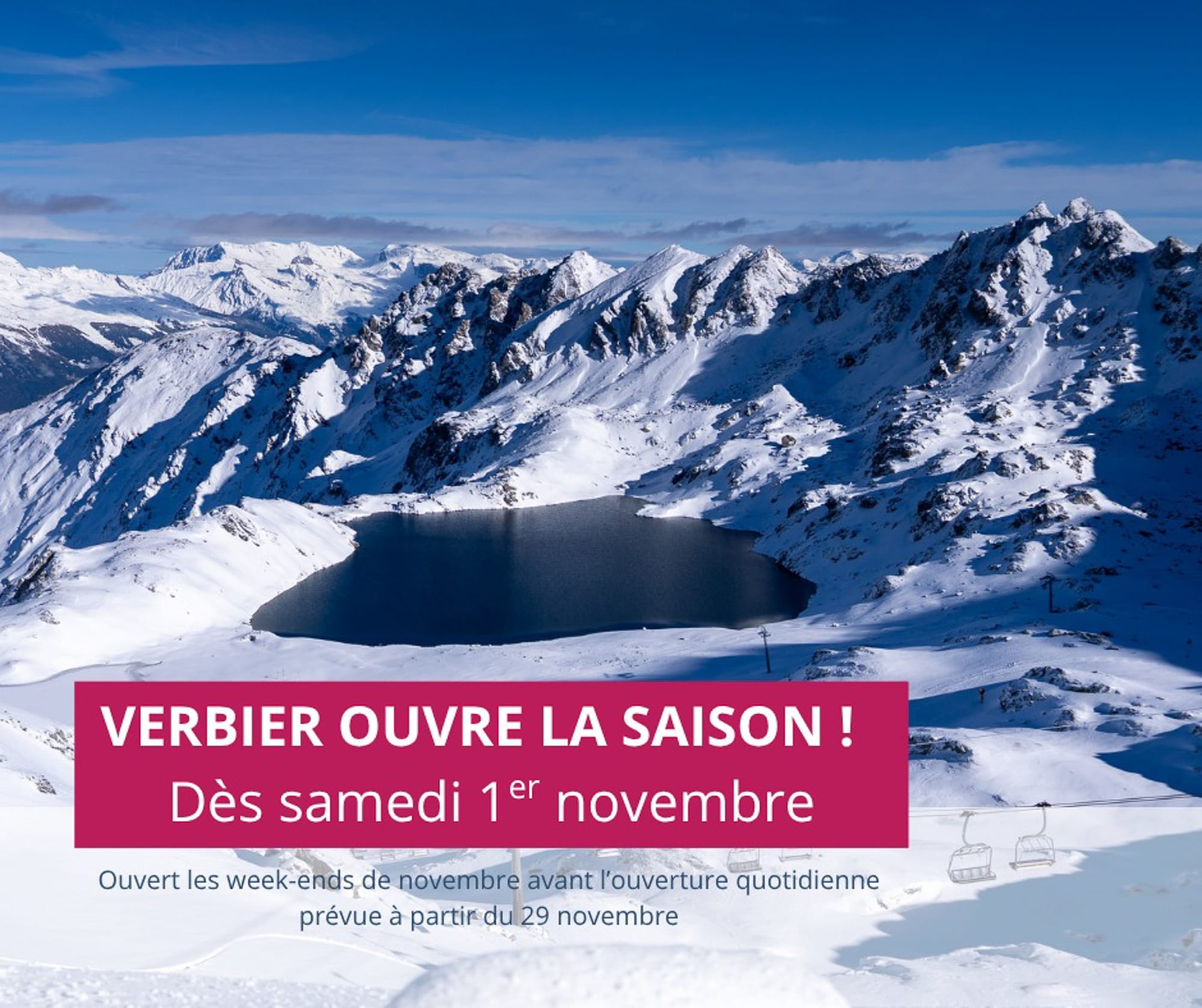
- Verbier opens a month early, following 40 cm of fresh snow
- Powder conditions across Austrian and Swiss glaciers
- Italian slopes expand terrain despite thin early cover
- Iceland sets new October snowfall record
- Scandinavia braces for more snow this weekend
Alps Snow Report and Ski Conditions
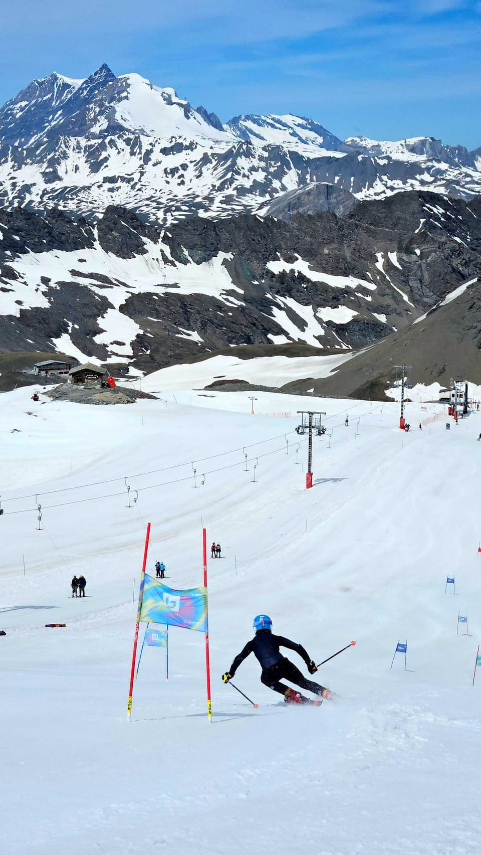
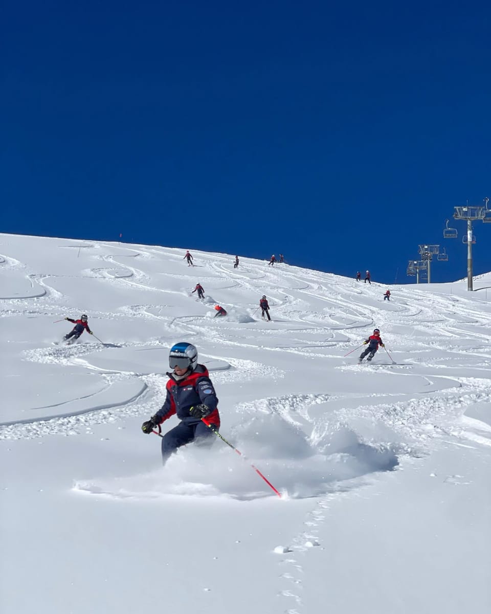
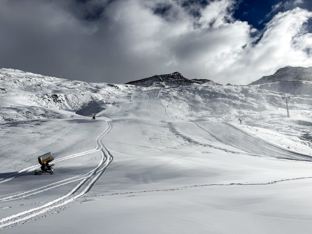
Following the significant snowfalls at the weekend before last, more snow arriving made the final week of October a good one in the Alps. The dozen or so glacier centres already open reported powder conditions and opened more terrain, and more centres opened in Italy and Switzerland. The latter has now drawn equal with Austria, with seven centres open each, whilst Italy has up to four areas. The French season is due to start in just over a fortnight. The biggest surprise was Verbier announcing it would open nearly a month early, last Saturday.
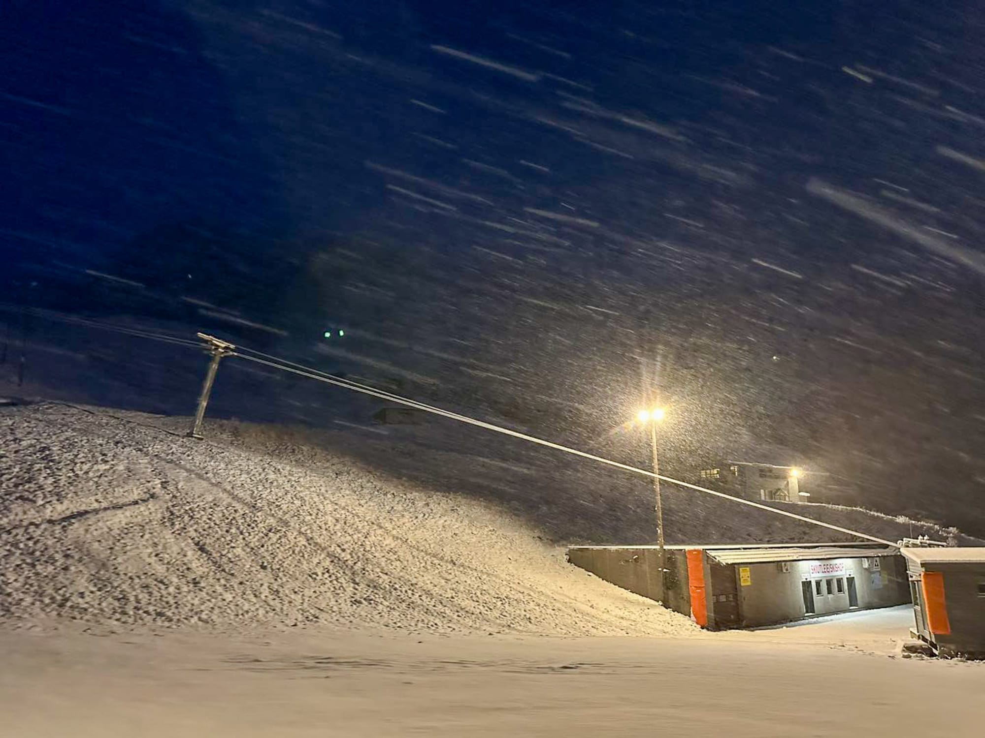
There's been lots of snowfall in northern Europe too, with fresh falls across Scandinavia, on Scottish peaks and a 37 cm (15") accumulation in Iceland was reported to be an October record, leading to hopes ski areas might open early there. Still, Blafjoll said it was great, but not enough to do so.
Austria Ski Season Update and Snow Forecast
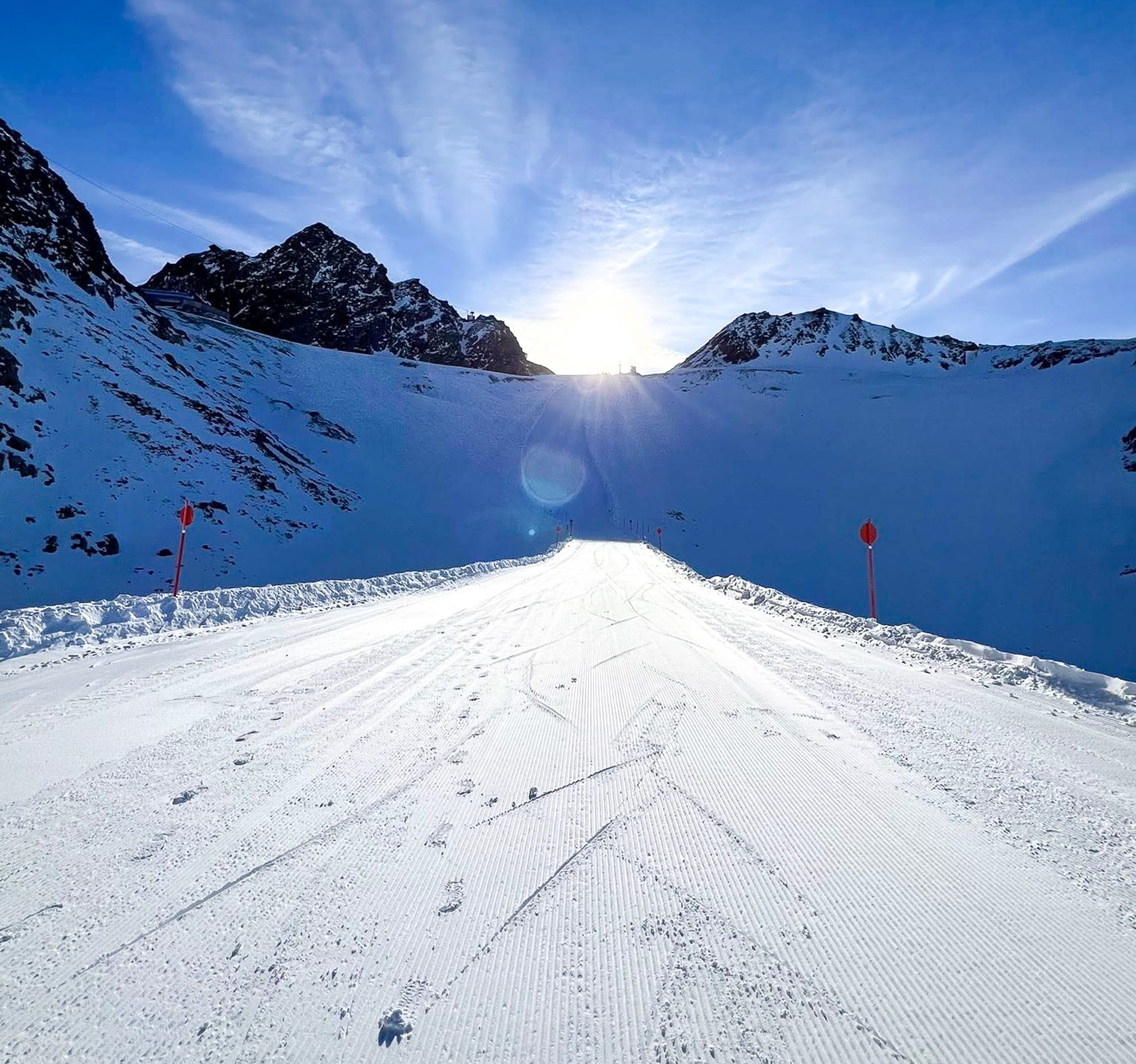
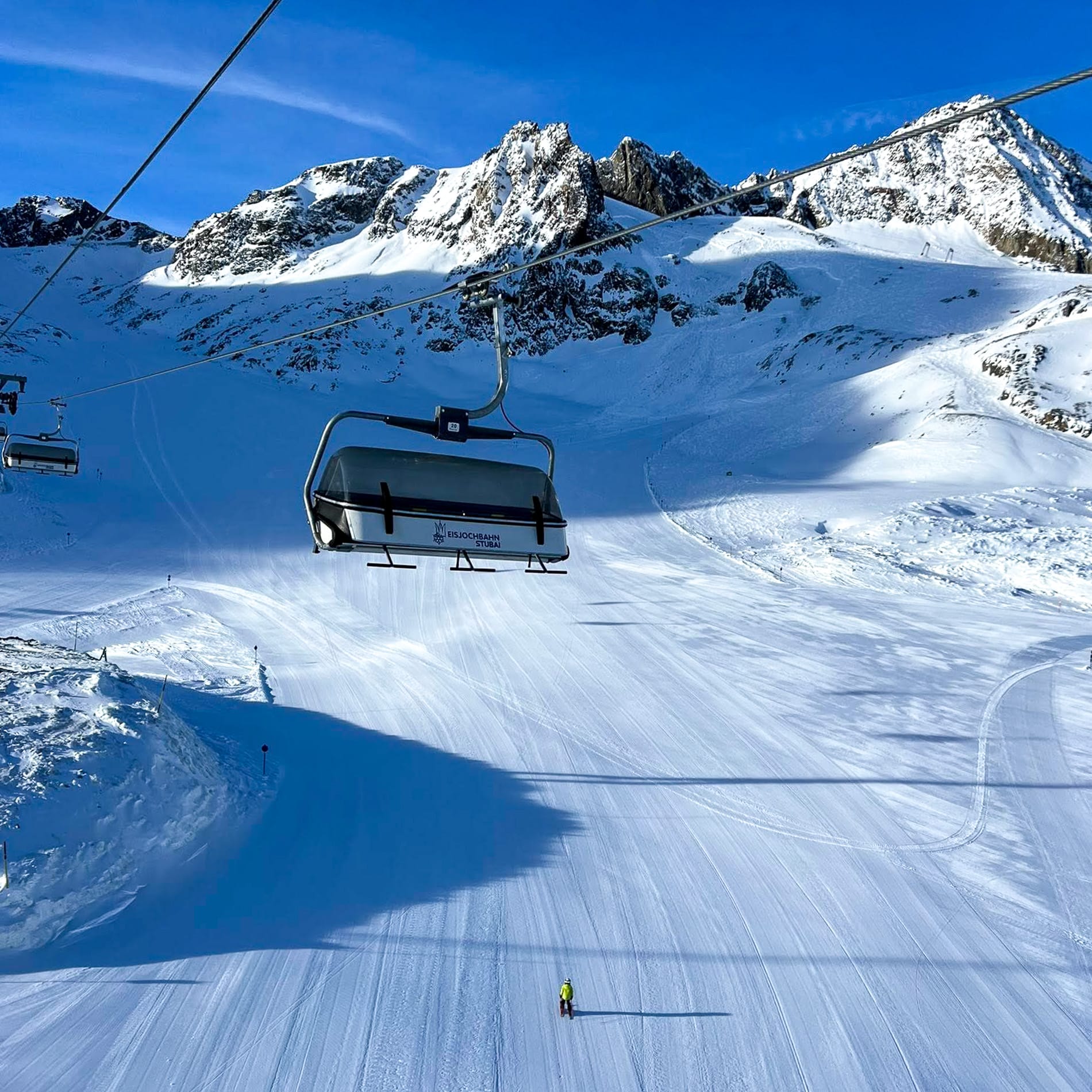
It has been a good week on the Austrian slopes, with more snowfall, those glacier resorts already open, some perfect blue sky, and fresh snow days in between. Those centres have been able to start more lift spinning and open additional terrain because of the fresh snow. After hosting the World Cup openers on the final weekend of October, Solden (0/35 cm / 0/14”) has continued to offer the most open terrain in the world right now, with 34 km (21 miles) of runs. The Stubai (0/35 cm / 0/14”) ranks second in Austria and globally, currently, with 32 km (20 miles) of piste, after opening more terrain this past weekend. Newly opened slopes include No. 11 Windachfern South, No. 12 Gaiskarferner, and No. 22 Gamsgarten. Hintertux (0/45 cm / 0/18”) is also in the current world top five with 27 km (17 miles) of runs available.
At the Mölltal glacier, the Panorama lift has opened, serving its famous Piste 8, which offers a spectacular view of the surrounding mountain scenery. Piste 3 also remains in top condition, making the pair ideal for early starters. The Kitzsteinhorn (0/65 cm / 0/26”), the Kaunertal (20/50 cm / 8/20”), and the Pitztal (30/60 cm / 12/24”) form the seven Austrian glacier areas currently open, while an eighth, Kitzbühel, plans to open its season this coming weekend using snow farmed from last season to create a few kilometres of slopes. However, it has also posted images of fresh natural snowfall on its higher terrain.
Austrian Alps Snow Forecast
The Austrian Alps are expected to be cold and mainly dry for the latter half of this week, with light snow possible at higher elevations. Mountain temperatures will range from -3 °C to 5 °C above 1800 m, with base areas experiencing highs around 15 °C and lows near freezing. Snowfall is expected to be minimal, although high slopes may see brief flurries. Clear to partly cloudy skies are anticipated, with good visibility and a firm snowpack at altitude.
Italy Ski Areas and Snow Forecast 2025/26
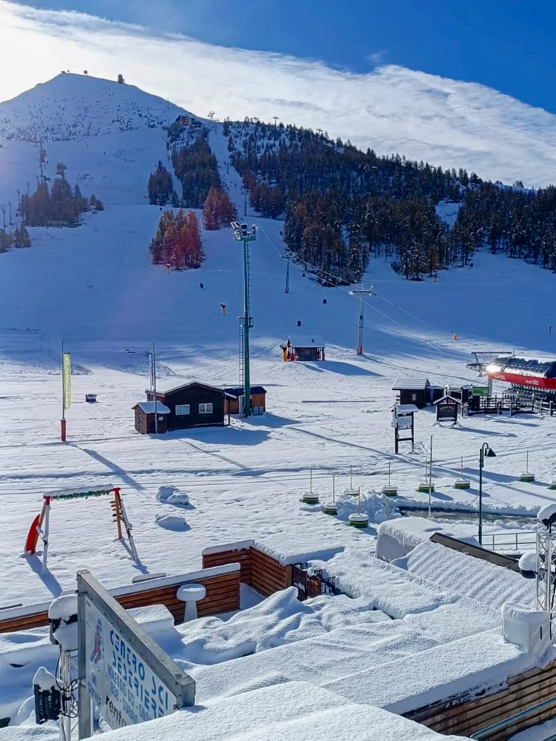
Italy’s Sulden am Ortler (0/15 cm / 0/6”) opened over the weekend after a good final week of October snowfall, reporting nearly half of its slopes open from day one despite the thin cover. That’s 20 of 44 km (13 of 28 miles) of slopes (45% open) on opening day. It keeps the number of Italian ski areas currently open at three, joining Cervinia (0/150 cm / 0/60”) (currently accessing the glacier skiing above Zermatt) and Val Senales (0/35 cm / 0/14”). The summer ski area at Passo Stelvio finally ended its 2025 season over the weekend.
Italian Alps and Dolomites Weather Forecast
In the latter half of this week, the Italian Alps and Dolomites will experience cold, mostly dry conditions with light snow possible at higher elevations. Temperatures will vary from -2 °C to 5 °C in the Dolomites, with overnight lows below freezing and daytime highs around 5 °C. The Italian Alps will be slightly milder, with highs near 13 °C and lows around 1 °C. Light snow showers are forecast for higher slopes at resorts like Livigno, Passo Tonale, and Cortina d’Ampezzo, with up to 7 cm (3 inches) expected in some areas. Most ski areas will stay dry, but cloudy spells and brief flurries may occur.
Switzerland Ski Report and Alps Snow Forecast
The major news from Switzerland this week was Verbier’s (0/41 cm / 0/16”) surprising decision to open four weeks early, thanks to a 40 cm snowfall. It was also Murren’s (0/190 cm / 0/76”) season-start day, although it credited summer snow farming for creating a run, next to an already open terrain park on its high Schilthorn slopes. During the first three weeks of November, the facility will be open on Saturdays and Sundays, then enter continuous operation on 22 November.
Day tickets are available at a reduced price during the pre-season. The new AlpsPass and the Jungfrau Ski Region season pass are also valid from 1 November. Adelboden (30/30 cm / 12”/12”) has also opened a kilometre (half-mile) of slopes on TschentenAlp. They join the four already open Swiss areas, all of which have reported lots of fresh snowfall this week and, in most cases, more terrain opening as a result.
Zermatt (0/150 cm / 0/60”) has reported an increased snow depth (by 30 cm / 12”) for the first time in around six months and has doubled its open terrain to around 27 km (17 miles) of runs. Saas-Fee’s (0/170 cm / 0/68") base is up for a second week for a total increase of 50 cm / 20" over the past fortnight. It still has 13 km (8 miles) of slopes open. Engelberg’s (0/135 cm / 0/54") base is also up, and the Diavolezza Glacier (0/50 cm / 0/20“) near St Moritz remains open at weekends currently.
Swiss Alps Snow Forecast
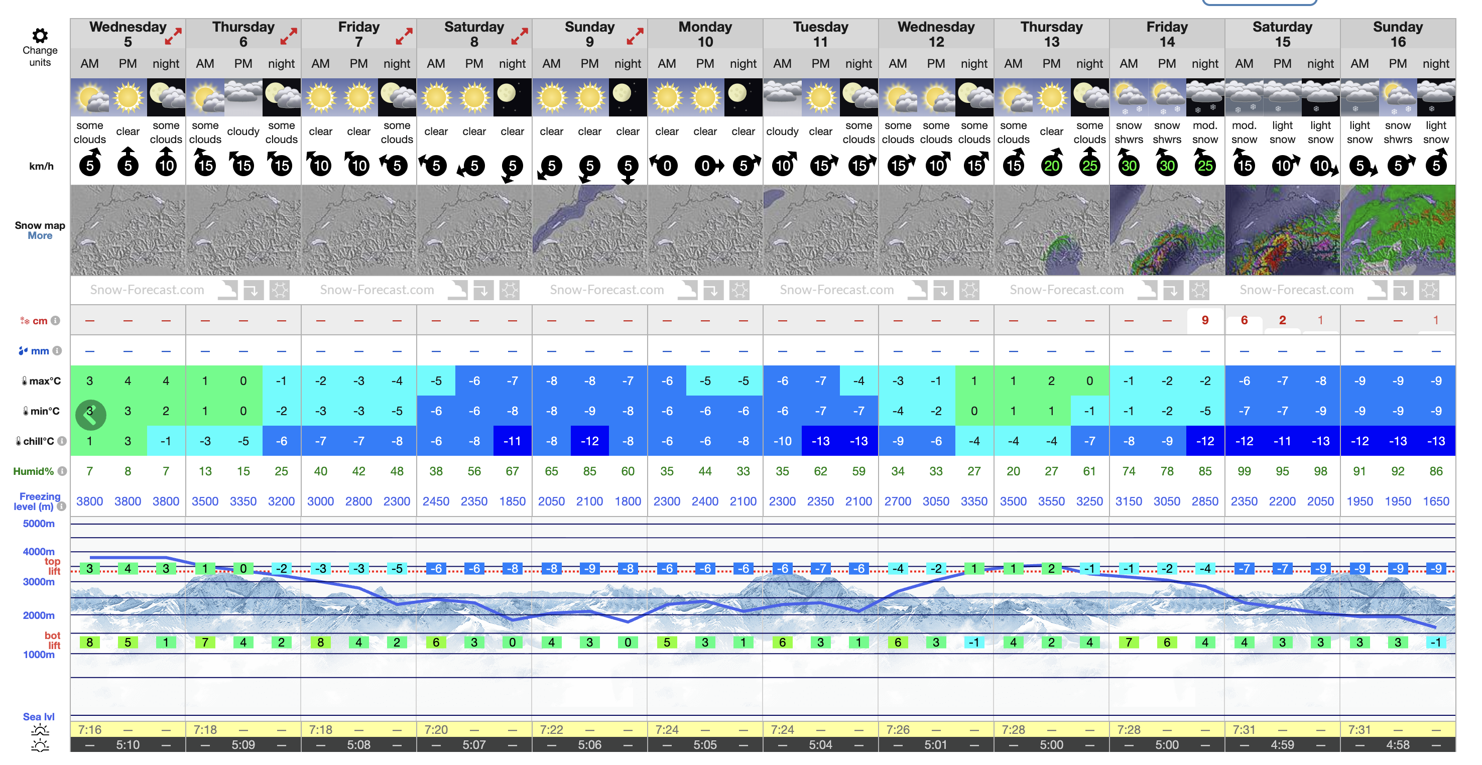
Following recent snowfall, the Swiss Alps are expected to experience drier and colder weather for the rest of the week. Temperatures will vary from highs of 13 °C in valleys to lows around 1 °C, with Wednesday and Thursday remaining dry and relatively mild. Friday might see a brief, light shower (about 1 mm), but Saturday looks dry again, with cooler air moving in.
Scandinavia Ski Season Update and Snow Forecast
Low temperatures and fresh snowfall on higher slopes have been reported across Scandinavia, although only four areas are open, as was the case last week. Each has just a few kilometres of terrain available so far, most operating on snowfarmed snow recycled from last season. Sweden’s Kåbdalis (30–40 cm / 12–16") has experienced temperatures around freezing this week, but it has been colder, consistently below zero on the region’s highest slopes at Galdhøpiggen (20–50 cm / 8–20") in Norway, a summer ski area in its final weeks of the 2025 season.
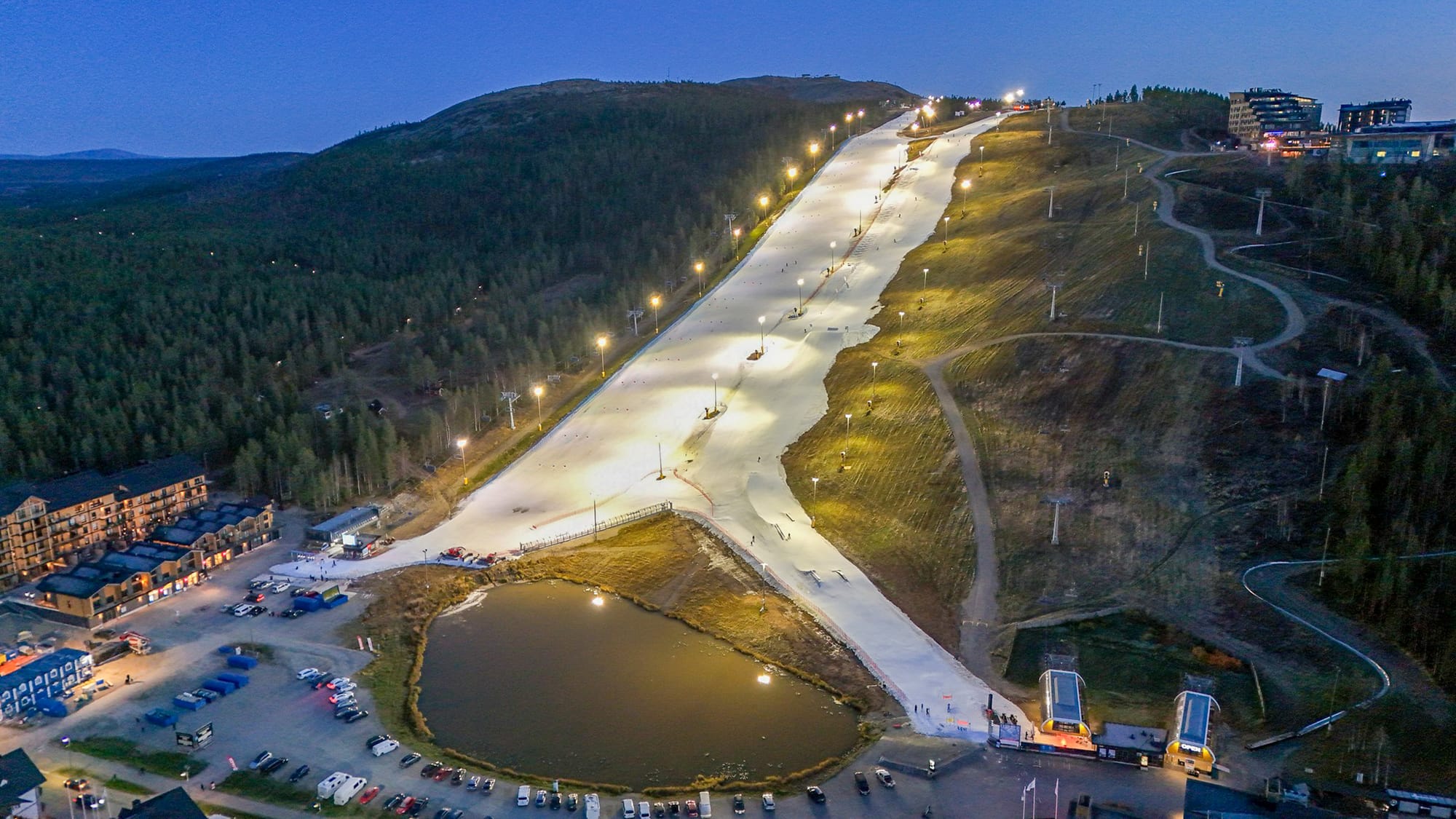
In Finland, Levi (10–20 cm / 4–8") reports 4 of 25 lifts operating and 3.1 km (2 miles) of pistes open, with artificial snow cover and no recent snowfall. Temperatures have been around -1 °C to 3 °C, with light winds and some light snowfall. Fellow Finnish resort Ruka (10–20 cm / 4–8") has similar terrain open, and a 5 cm (2") snowfall has slightly freshened conditions. Temperatures here have ranged from 0 °C to 3 °C with light winds.
Scandinavia Weather and Snow Forecast
Scandinavian ski regions are set for a wintry mix over the coming week, with more snow likely across the board. In Norway, daytime temperatures will dip to around -3 °C with moderate snowfall building towards the weekend. Finland will see slightly milder conditions, hovering near 0 °C, with patchy snow and light precipitation likely. Sweden’s Kåbdalis is the coldest of the trio, plunging to -6 °C overnight, and is forecast for heavy snowfall, ideal for early-season coverage. Winds remain moderate, and visibility should be fair between flurries.