Europe Weekly Snow Roundup #314
Weekly Snow News for Europe, updated 14 May 2026: Alpine glaciers see fresh snow up to 10cm (4”), while Norway’s summer ski season begins.
- Alpine glaciers see fresh snowfall and freezing temperatures
- Norway summer ski season begins on Galdhøpiggen glacier
- Several glacier resorts set to close this weekend
- Midnight sun skiing underway in northern Sweden
Alps Snow Report
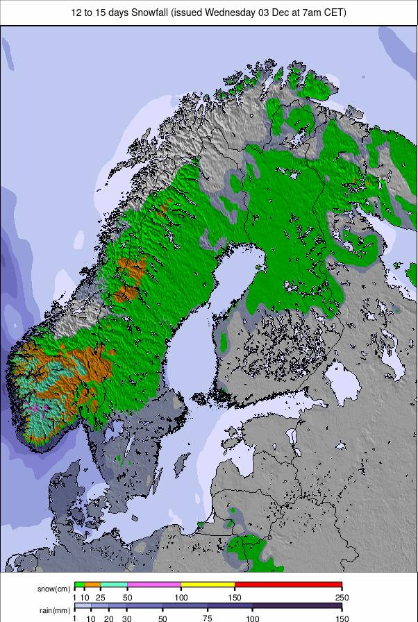
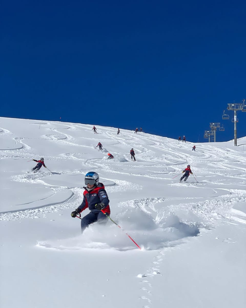
The number of open ski areas in Europe has now dropped into single figures, with Finland’s Saariselkä and Levi both ending their seasons, the latter closing after more than seven months of operation. Italy’s Val Senales glacier has also now shut. However, glacier skiing continues across the Alps, where a notably cold week has brought fresh snowfall. Higher resorts such as Livigno and Obertauern have posted images of snow down to around 1,800m. Temperatures on glaciers have dropped as low as -15°C and remained well below freezing for much of the week. Snowfall totals of 5–10cm (2–4”) have been recorded on several days, interspersed with sunny spells that have delivered excellent late spring skiing conditions.
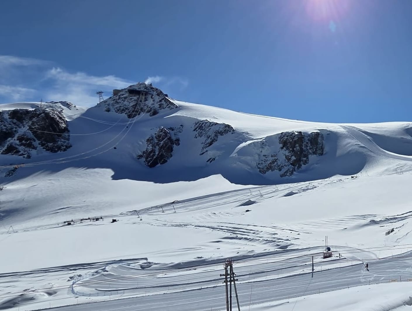
Austria continues to dominate late-season operations, with five of the remaining glacier areas located there. Hintertux (305cm / 122”) reports the deepest snowpack and the most terrain open in Europe, with around 42km (26 miles) of slopes available. Kitzsteinhorn (170cm / 68”) and Molltal (180cm / 72”) also remain open, offering approximately 20km and 15km of terrain respectively. The Kaunertal Glacier has announced it will close this Sunday due to warm temperatures and limited snow. Stubai Glacier is also scheduled to end its season this weekend.
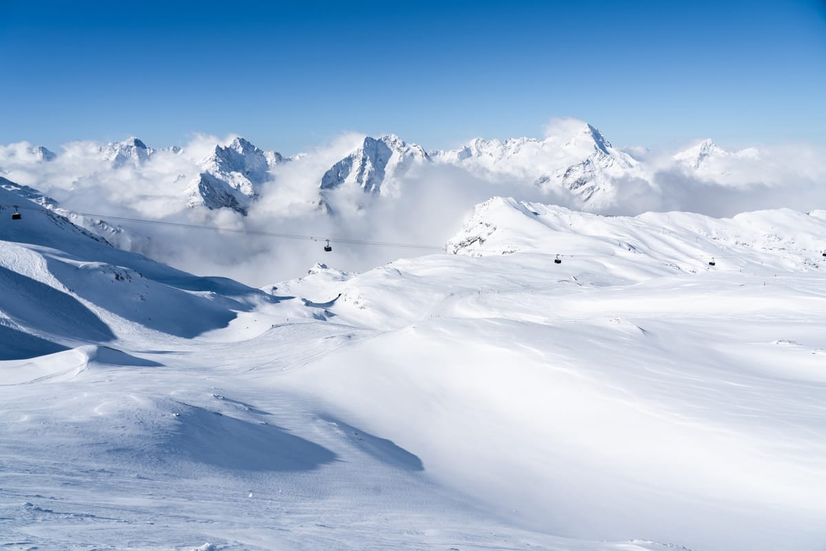
Elsewhere, Les 2 Alpes in France continues to operate around 20km (13 miles) of slopes and its terrain park, following additional snowfall this week after last week’s significant 60cm (24”) accumulation. The Matterhorn Glacier Paradise, shared between Cervinia and Zermatt, remains the only other option, with around 120cm (48”) of snow cover.
Alps Snow Forecast
Cool, unsettled conditions are expected to continue, with frequent cloud and scattered snow showers above 2,800–3,000m. Summit temperatures will fall to between –4°C and –8°C overnight, with occasional light snowfall. Lower elevations will remain milder with a mix of rain and sleet. Snow surfaces should refreeze overnight but soften quickly during sunny spells.
Scandinavia Snow Report
Most Scandinavian resorts have now closed following last weekend, leaving Sweden’s Riksgränsen briefly as the only operating lift-served area. However, Norway has rejoined the list with the opening of the Galdhøpiggen glacier for its 2026 summer ski season. It reports one of Europe’s deepest snowpacks at 280–400cm (112–160”), second only globally to Japan’s Gassan. Stryn is also preparing to offer cat skiing in the coming days, although it remains uncertain how long its season will last.

Riksgränsen continues its midnight sun skiing period, with 24-hour daylight and slopes reopening around midnight on select days. Snow cover there is below average, with roughly half its terrain open. Conditions this week have included a mix of sunshine and snow showers, with temperatures ranging from -8°C overnight to +5°C during the day. Daily snowfall of 2–5cm (1–2”) has helped refresh slopes.
Scandinavia Snow Forecast
A colder, unsettled pattern will persist, with frequent cloud, occasional snowfall and brief brighter spells. Galdhøpiggen will remain wintry with highs around –4°C and lows near –8°C. Riksgränsen will be milder, with temperatures between 3°C and 7°C and periods of rain or snow. Snow surfaces will remain firm, softening slightly during sunnier intervals.