The above table gives the weather forecast for Wagrain at the specific elevation of 927 m. Our sophisticated weather models allow us to provide snow forecasts for the top, middle and bottom ski stations of Wagrain. To access the weather forecasts for the other elevations, use the tab navigation above the table. For a wider view of the weather, check out the Weather Map of Austria.
Click here to read further information on freezing levels and how we forecast our temperatures.
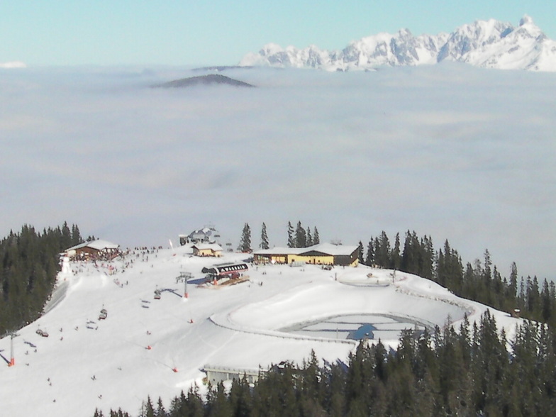
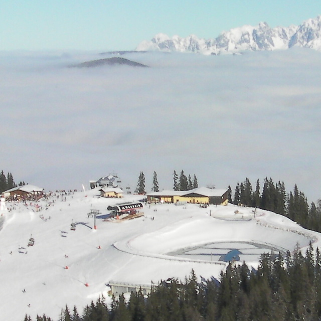
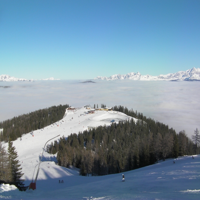
We have been skiing in and around here for about 15 years. The skiing really does depend on the volume of people here. Most people go east to west in the morning and come back again in the afternoon. So, from Flachau to Alpendorf then back seems to be the way most go. The G Link is a great addition to the area but can get very crowded. My tip would be to do it the opposite way: start at Alpenhorn and finish there (assuming you have a car, which in this area we feel is a must). Echoing the other review, some of the signage especially in the middle of the Wagrain area can be very confusing. The runs from the top all the way down under the Flying Mozart gondola can be superb in the right conditions. The snow park is really good here and well worth a visit. If it's quiet it's really a very nice place to ski.
We have been skiing in and around here for about 15 years. The skiing really does depend on the volume of people here. Most people go east to west in the morning and come back again in the afternoon. So, from Flachau to Alpendorf then back seems to be the way most go. The G Link is a great addition to the area but can get very crowded. My tip would be to do it the opposite way: start at Alpenhorn and finish there (assuming you have a car, which in this area we feel is a must). Echoing the other review, some of the signage especially in the middle of the Wagrain area can be very confusing. The runs from the top all the way down under the Flying Mozart gondola can be superb in the right conditions. The snow park is really good here and well worth a visit. If it's quiet it's really a very nice place to ski.
Free Snow-Forecast.com weather widget for your website
Embed the Wagrain weather widget on your site for free. It provides a weekly snapshot of snow and rain conditions across all elevations. Follow the two quick steps to grab your custom code and paste it into your site. Choose between metric or imperial units. Click here to get the code.


 Nearest