The above table gives the weather forecast for Wagrain at the specific elevation of 2014 m. Our sophisticated weather models allow us to provide snow forecasts for the top, middle and bottom ski stations of Wagrain. To access the weather forecasts for the other elevations, use the tab navigation above the table. For a wider view of the weather, check out the Weather Map of Austria.
Click here to read further information on freezing levels and how we forecast our temperatures.
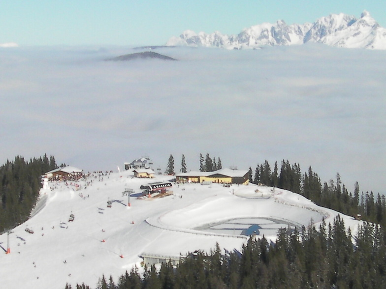
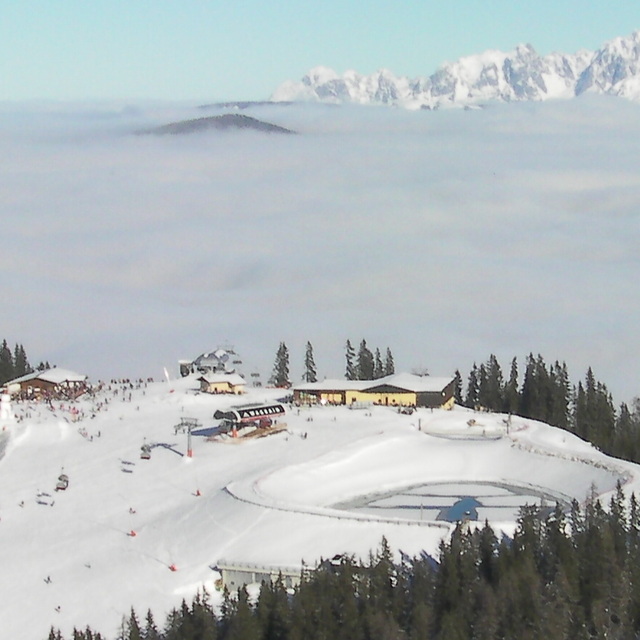
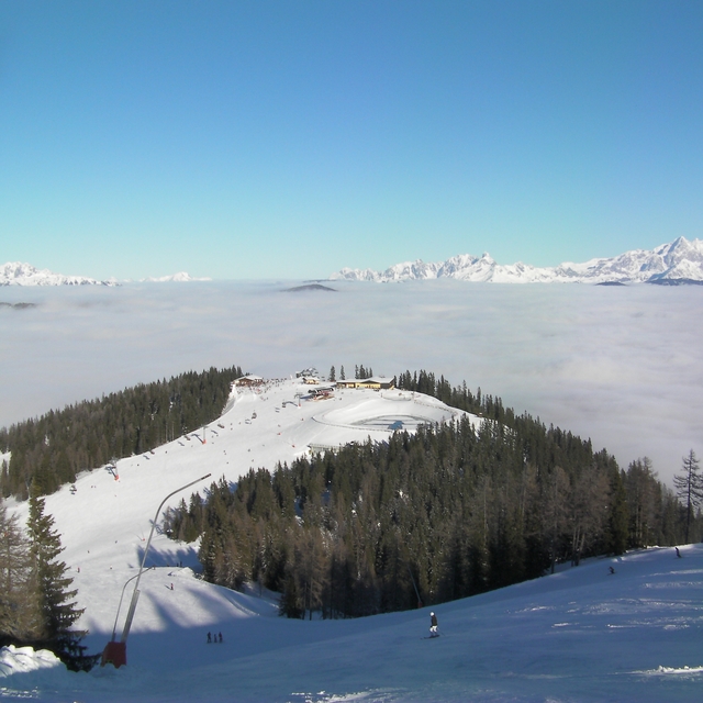
Resort and area have made big improvements in the last 6 years. New and updated lifts now link 6 villages: Wagrain, Alpendorf, Flachau, Kleinarl, Flachauwinkl and Zauchensee which are known as Salzburger Sportwelt. This is a big area in itself. Lots of choice for all abilities and disciplines.
In addition, the lift pass also allows access to other Ski Amade resorts which includes all the Gastein ski area, Schladming and Maria Alm/Mulbach. However, need a car to get to these.
Wagrain village, and the area, still retains its Austrian charm. Can ski back to resort. Ski slope preparation is good with quick, efficient lifts. Numerous good value restaurants and great mountain views.
There are some off-piste opportunities and un-pisted snow routes, but this is not as extensive as some other resorts.
Snow reliability is very good. Wagrain is on northern and eastern side of the Alps and is much colder at all equivalent altitude levels compared to Alpine resorts further west and south, such as in France. Ski season usually starts early in first week of December, and up to to end of March are best times to go.
The resort is very popular with locals, Germans, Czechs, Dutch and Scandanavians. Very few British.
Good and relatively easy transport access to resort from Salzburg.
Big thumbs up.
Free Snow-Forecast.com weather widget for your website
Embed the Wagrain weather widget on your site for free. It provides a weekly snapshot of snow and rain conditions across all elevations. Follow the two quick steps to grab your custom code and paste it into your site. Choose between metric or imperial units. Click here to get the code.


 Nearest