Next snow in Mt Hutt: 2.0cm on Sat 4th (after 9 PM local time)
View forecast
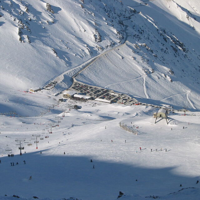
Mt Huttat 2086 m altitude
Issued by Snow-Forecast.com at:11 pm (local time) / 28 Jun 2026
Last 6 daysScroll left for last 6 daysNow
Next 4 days weather summary:
Mostly dry. Temperatures will be below freezing (max 0°C on Mon night, min -2°C on Sun night). Wind will be generally light.
Days 5-7 weather summary:
Moderate rain (total 15.0mm), heaviest on Sat afternoon. Freeze-thaw conditions (max 4°C on Fri afternoon, min 0°C on Wed night). Winds increasing (calm on Wed night, severe gales from the NW by Sat afternoon).
The above table gives the weather forecast for Mt Hutt at the specific elevation of 2086 m. Our sophisticated weather models allow us to provide snow forecasts for the top, middle and bottom ski stations of Mt Hutt. To access the weather forecasts for the other elevations, use the tab navigation above the table. For a wider view of the weather, check out the Weather Map of New Zealand.
Click here to read further information on freezing levels and how we forecast our temperatures.
Mount Hutt admin staff are the worst. I was advised in writing that there would be half day sessions for children for $119. I planned my trip budget around this information. I tried for over a month to book my sessions in and followed up numerous times only to be advised that the information given to me was incorrect. I planned my flights and accom based on the information they gave me, I would have booked elsewhere if they had given me the accurate information but now I am stuck on this mountain. Despite the fact that they know they are wrong, the Head of Customer Service has refused to honour the price quoted to me or come up with options that suit my family. In fact, her service is so poor that I need to follow up multiple times per day to even get correct information as their website is riddled with wrong information. I’m still waiting for a reply to my latest email.
I've always loved going to Mt Hutt and the staff on the actual mountain are fabulous. Unfortunately, the shocking website with incorrect information and staff members who cannot think outside the box and provide quality customer service ruin it for everyone.
I certainly don't recommend this mountain for
families.
(note from the editor: names of individuals are not included in reviews).
Free Snow-Forecast.com weather widget for your website
Embed the Mt Hutt weather widget on your site for free. It provides a weekly snapshot of snow and rain conditions across all elevations. Follow the two quick steps to grab your custom code and paste it into your site. Choose between metric or imperial units. Click here to get the code.


 Nearest