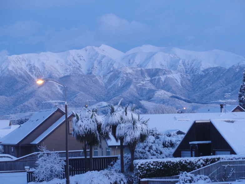
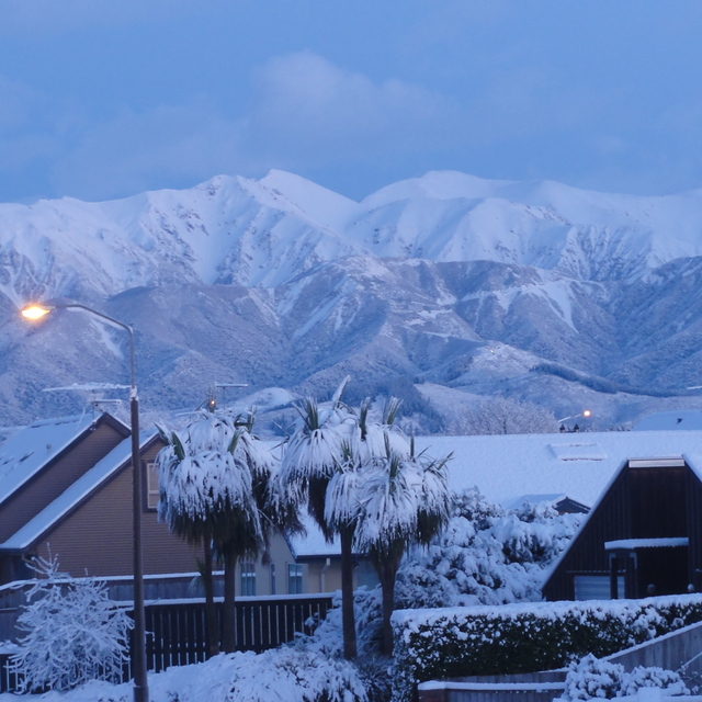
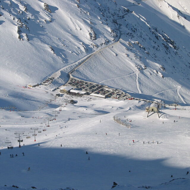
Mt Hutt snow
Ski New Zealand

Mt Hutt Snow Forecast

Weather Forecast for Mt Hutt at 1400 m
Issued: 12 am  09 Nov 2025 (local time)

New snow in Mt Hutt

5.0cm2.0in
Fri 14th (PM)
The snow forecast for Mt Hutt is: Moderate rain (total 11.0mm), heaviest on Mon night. Very mild (max 12°C on Sun afternoon, min 4°C on Mon night). Winds increasing (calm on Sat night, fresh winds from the NW by Mon morning).

Mt Hutt Weather (Next 3 days): The snow forecast for Mt Hutt is: Moderate rain (total 11.0mm), heaviest on Mon night. Very mild (max 12°C on Sun afternoon, min 4°C on Mon night). Winds increasing (calm on Sat night, fresh winds from the NW by Mon morning).

Mt Hutt Weather (Days 4-6): A light covering of new snow, mostly falling on Fri afternoon. Becoming milder with moderate rain (total 18.0mm) heaviest on Fri afternoon. Mild temperatures (max 8°C on Wed morning, min 2°C on Fri afternoon). Winds increasing (calm on Thu morning, fresh winds from the WNW by Fri afternoon).


Mt Hutt Live Weather

ResortSnow DepthTemp. (°C)Wind (km/h)Weather
Top Lift: 0.0m
5
5
clear
Middle Lift: 
7
0
clear
Bottom Lift: 0.0m
5
0
clear
6 Day Forecast
Issued: 12 am 09 Nov 2025 / Updates in ::
Change Forecast Height
Choose Forecast
Last 6 daysScroll left for last 6 daysNow
Sunday
9
Monday
10
Tuesday
11
Wednesday
12
Thursday
13
Friday
14
night
AM
PM
night
AM
PM
night
AM
PM
night
AM
PM
night
AM
PM
night
AM
PM
night
clear
clear
part cloud
cloud
cloud
rain showers
rain showers
light rain
cloud
part cloud
rain showers
light rain
light rain
light rain
light rain
rain showers
rain showers
snow showers
snow showers
clear
clear
some clouds
cloudy
cloudy
rain shwrs
rain shwrs
light rain
cloudy
some clouds
rain shwrs
light rain
light rain
light rain
light rain
rain shwrs
rain shwrs
snow shwrs
snow shwrs
 km/h
0
S
10
NNW
5
N
20
NW
25
NW
20
NW
5
WNW
5
NNE
5
NNE
10
NNE
10
NNE
5
NE
5
WNW
10
SSW
5
ESE
15
NNW
30
NW
30
NNW
15
NW
Snow map
 cm 
5
 mm 
3
7
1
1
4
1
1
3
1
1
6
max°C
8
11
12
8
10
9
7
5
6
6
8
8
7
5
5
5
5
3
0
min°C
5
8
10
7
9
9
4
4
6
5
7
8
5
5
5
4
4
2
-2
chill°C 
5
6
8
4
5
6
3
3
5
3
5
7
4
2
4
0
-1
-4
-6
Humid% 
64
61
73
33
75
82
73
99
96
95
91
97
73
95
99
79
75
95
77
Freezing level (m
3100
3250
3100
3250
3250
2800
2550
2350
2850
2750
2500
2650
2600
2250
2350
2500
2350
1800
1300
topliftbotliftSea lvl1000m2000m3000m4000m5000m
66666422333431121-2-5710118109656688655553-1
Sunrise
6:05
6:05
6:03
6:03
6:01
6:01
Sunset
8:29
8:30
8:30
8:32
8:34
8:35

Snow Radar

Latest snow reports near Mt Hutt:

No recent snow reports

No recent snow reports

Mt Hutt Snow Conditions

Top snow depth:0cm
Bottom snow depth:0cm
Fresh snowfall depth:
Last snowfall:28 Oct 2025
Snow AlertsCreate Alert
Other resorts in New Zealand are reporting: powder (0) / good piste (0)


Snow History

Week 2 of November has on average:
0.0
Bluebird Powder days
Fresh snow, mostly sunny, light wind.
0.6
Powder days
Fresh snow, limited sun, any wind.
0.1
Bluebird days
Average snow, mostly sunny, light wind.