Weather Forecast for Aoraki-Mt Cook at3296m altitude
Issued: 5 pm 29 Jun 2026 (local time)
Forecast update in hr min
Next snow in Aoraki-Mt Cook: 1.5cm on Fri 3rd (after 3 PM local time)
View forecast
Aoraki-Mt Cookat 3296 m altitude
Issued by Snow-Forecast.com at:5 pm (local time) / 29 Jun 2026
Last 6 daysScroll left for last 6 daysNow
Next 3 days weather summary:
Mostly dry. Temperatures will be below freezing (max -4°C on Thu morning, min -7°C on Tue morning). Wind will be generally light.
Days 4-6 weather summary:
A heavy fall of snow, heaviest during Fri night. Temperatures will be below freezing (max -4°C on Thu afternoon, min -16°C on Sat night). Winds increasing (light winds from the WSW on Thu afternoon, severe gales from the NNW by Fri night).
The above table gives the weather forecast for Aoraki-Mt Cook at the specific elevation of 3296 m. Our sophisticated weather models allow us to provide snow forecasts for the top, middle and bottom ski stations of Aoraki-Mt Cook. To access the weather forecasts for the other elevations, use the tab navigation above the table. For a wider view of the weather, check out the Weather Map of New Zealand.
Click here to read further information on freezing levels and how we forecast our temperatures.
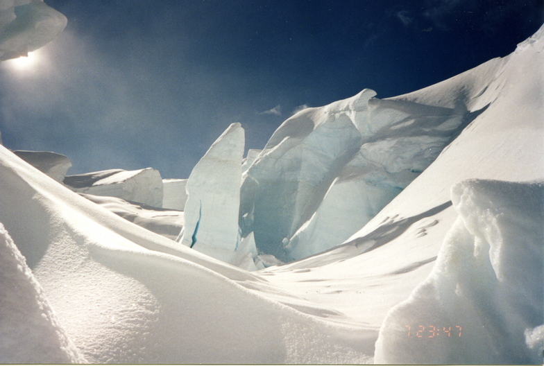
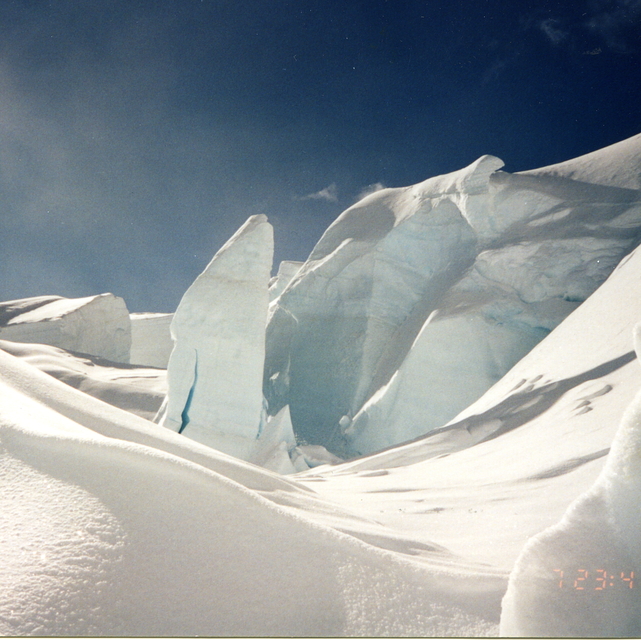
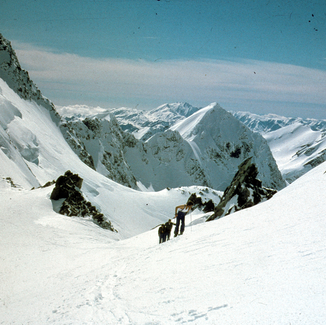
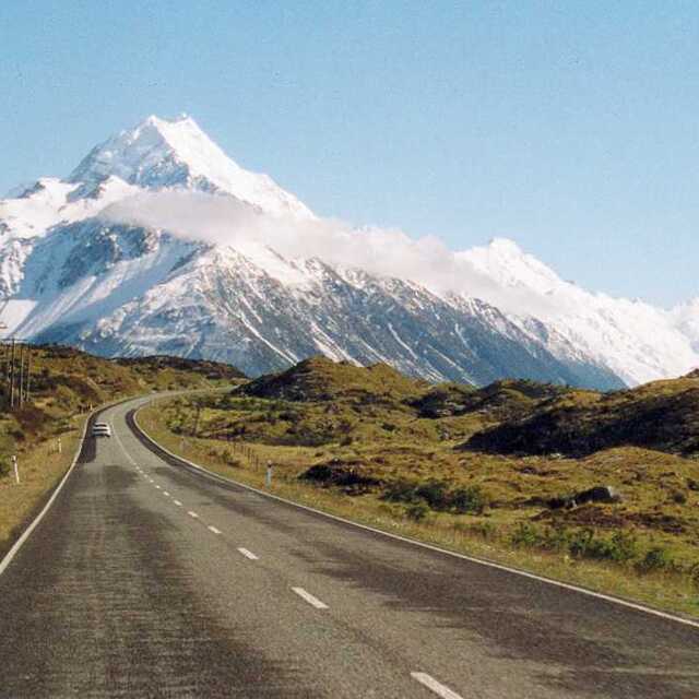
Great area to visit. Coupled with it's twin resort M Tasman, there is a run for everyone. For long blue runs try Linda on Aoraki, or Syme on Tasman mtn. Both service the Plateau hut. Advanced runs of note are Caroline and North West Ridge and Tasman mtn is famous for Silberhorn and Abel Janzoon. Double black legendary runs include Balfour on Tasman for steep and deep, and if you're lucky to be at the top of Aoraki when patrol drops the rope on Sheila, it has a heart thumping drop for the real enthusiasts. Not enough is reported on the terrain below Pioneer. Tired punters can follow the cat track that zigzags 900 vertical down Haast ridge, while the new Hochstetter terrain park will also deliver you toward the base. For a longer adventure, try Lender field off Tasman and following a coffee and a sit in front of the gas heater at Pioneer hut, continue down to the road on the backside. Transport can be arranged back around to the Mt Cook car park, or try a short helicopter flight. Vertical can range from 2700m on the main mtn, to 2500m on the backside.
Great area to visit. Coupled with it's twin resort M Tasman, there is a run for everyone. For long blue runs try Linda on Aoraki, or Syme on Tasman mtn. Both service the Plateau hut. Advanced runs of note are Caroline and North West Ridge and Tasman mtn is famous for Silberhorn and Abel Janzoon. Double black legendary runs include Balfour on Tasman for steep and deep, and if you're lucky to be at the top of Aoraki when patrol drops the rope on Sheila, it has a heart thumping drop for the real enthusiasts. Not enough is reported on the terrain below Pioneer. Tired punters can follow the cat track that zigzags 900 vertical down Haast ridge, while the new Hochstetter terrain park will also deliver you toward the base. For a longer adventure, try Lender field off Tasman and following a coffee and a sit in front of the gas heater at Pioneer hut, continue down to the road on the backside. Transport can be arranged back around to the Mt Cook car park, or try a short helicopter flight. Vertical can range from 2700m on the main mtn, to 2500m on the backside.
Free Snow-Forecast.com weather widget for your website
Embed the Aoraki-Mt Cook weather widget on your site for free. It provides a weekly snapshot of snow and rain conditions across all elevations. Follow the two quick steps to grab your custom code and paste it into your site. Choose between metric or imperial units. Click here to get the code.


 Nearest