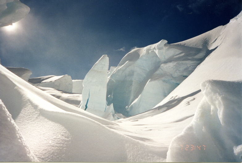


Portillo Storm Snowfall Total Passes 5m / 17 Feet
A snow storm that has now continued for nine days has taken Chilean ski resort Portillo to a snowfall total of 5.2 metres (17 feet) so far, with more snow forecast.

Next 3 days weather summary:A heavy fall of snow, heaviest during Thu afternoon. Temperatures will be well below freezing (max -6°C on Sun morning, min -15°C on Fri afternoon). Winds decreasing (gales from the N on Thu afternoon, light winds from the WSW by Sat night). | Days 4-6 weather summary:A dusting of new snow. Temperatures will be well below freezing (max -6°C on Sun afternoon, min -12°C on Tue night). Winds decreasing (gales from the W on Mon morning, calm by Tue night). | ||||||||||||||||
Thu 30 | Friday 31 | Saturday 1 | Sunday 2 | Monday 3 | Tuesday 4 | ||||||||||||
PM | night | AM | PM | night | AM | PM | night | AM | PM | night | AM | PM | night | AM | PM | night | |
heavy snow | heavy snow | mod. snow | light snow | snow shwrs | clear | clear | some clouds | clear | clear | snow shwrs | light snow | light snow | some clouds | clear | clear | clear | |
km/h | |||||||||||||||||
Snow map |  | 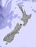 |  |  |  |  | |||||||||||
34 | 28 | 5 | 1 | 1 | — | — | — | — | — | 2 | 1 | — | — | — | — | — | |
mm | — | — | — | — | — | — | — | — | — | — | — | — | — | — | — | — | — |
max °C | -7 | -10 | -13 | -12 | -13 | -9 | -7 | -9 | -6 | -6 | -7 | -9 | -9 | -9 | -7 | -8 | -11 |
min °C | -8 | -12 | -13 | -15 | -15 | -11 | -10 | -10 | -8 | -6 | -9 | -9 | -9 | -11 | -10 | -11 | -12 |
chill °C | -19 | -24 | -26 | -28 | -28 | -20 | -18 | -19 | -15 | -14 | -21 | -22 | -22 | -19 | -18 | -19 | -17 |
Humid % | 96 | 97 | 94 | 75 | 65 | 31 | 44 | 64 | 35 | 60 | 83 | 95 | 87 | 11 | 8 | 22 | 4 |
Freeze m | 1550 | 1450 | 1000 | 1000 | 300 | 200 | 1100 | 900 | 1050 | 1350 | 1300 | 1500 | 1500 | 1100 | 850 | 1300 | 600 |
— | — | 7:54 | — | — | 7:52 | — | — | 7:52 | — | — | 7:50 | — | — | 7:50 | — | — | |
5:36 | — | — | 5:37 | — | — | 5:37 | — | — | 5:38 | — | — | 5:39 | — | — | 5:40 | — | |
Go pro and carve into:
Avalanche information: New Zealand Avalanche Advisory
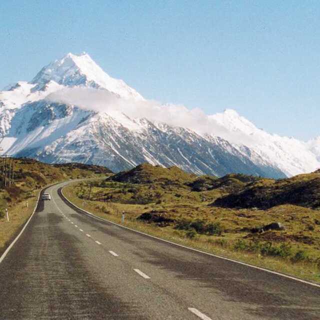
Latest snow reports near Aoraki-Mt Cook:
| Top snow depth: | — |
|---|---|
| Bottom snow depth: | — |
| Fresh snowfall depth: | 7 cm |
| Last snowfall: | 29 Jul 2026 |
| Snow Alerts | Create Alert |
1.0 | Bluebird Powder days Fresh snow, mostly sunny, light wind. |
|---|---|
2.2 | Powder days Fresh snow, limited sun, any wind. |
2.2 | Bluebird days Average snow, mostly sunny, light wind. |
The above table gives the weather forecast for Aoraki-Mt Cook at the specific elevation of 2839 m. Our sophisticated weather models allow us to provide snow forecasts for the top, middle and bottom ski stations of Aoraki-Mt Cook. To access the weather forecasts for the other elevations, use the tab navigation above the table. For a wider view of the weather, check out the Weather Map of New Zealand.
Click here to read further information on freezing levels and how we forecast our temperatures.
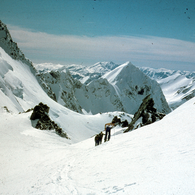
Generally a well-serviced mountain, featuring excellent coffee at Plateau Hut. Service at Empress Hut is a little slow, and, apart from a peculiar rocky pudding, non-existent at Gardiner Hut. Queues on popular blue run the Linda tend to get very long in January and there have been some instances of fisticuffs amongst impatient punters at Summit Rocks. The Nor'West Ridge is a somewhat less crowded blue run, but it's a long walk from the hut with no guarantee of good conditions from the summit. The public are warned to exercise caution on descents of the double diamond Hooker Face as it can get a little hard and slippery at times. Late season, often as early as mid-January, there are excellent natural terrain park features on the lower Linda.
Peter Taylor from New Zealand writes:
Generally a well-serviced mountain, featuring excellent coffee at Plateau Hut. Service at Empress Hut is a little slow, and, apart from a peculiar rocky pudding, non-existent at Gardiner Hut. Queues on popular blue run the Linda tend to get very long in January and there have been some instances of fisticuffs amongst impatient punters at Summit Rocks. The Nor'West Ridge is a somewhat less crowded blue run, but it's a long walk from the hut with no guarantee of good conditions from the summit. The public are warned to exercise caution on descents of the double diamond Hooker Face as it can get a little hard and slippery at times. Late season, often as early as mid-January, there are excellent natural terrain park features on the lower Linda.


 Nearest