Issued by Snow-Forecast.com at:12 am (local time) / 30 Jun 2026
Last 6 daysScroll left for last 6 daysNow
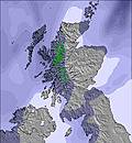
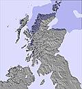
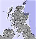
Next 4 days weather summary:
Heavy rain (total 22.0mm), heaviest during Wed morning. Very mild (max 11°C on Wed morning, min 7°C on Thu morning). Winds increasing (calm on Tue night, strong winds from the NW by Thu morning).
Days 5-7 weather summary:
Light rain (total 7.0mm), mostly falling on Fri afternoon. Very mild (max 13°C on Fri morning, min 6°C on Sat night). Winds decreasing (gales from the W on Fri night, light winds from the NW by Sun afternoon).
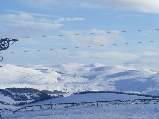
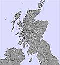
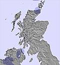
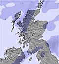
The above table gives the weather forecast for The Lecht at the specific elevation of 823 m. Our sophisticated weather models allow us to provide snow forecasts for the top, middle and bottom ski stations of The Lecht. To access the weather forecasts for the other elevations, use the tab navigation above the table. For a wider view of the weather, check out the Weather Map of United Kingdom.
Click here to read further information on freezing levels and how we forecast our temperatures.
Been to the Lecht many times and always had a hoot.
The owners are a lovely family; very friendly and helpful.
Thankfully it is still family owned so they are not just in the game to make fast cash, unlike natural retreats aka 'the gorm'.
A much smaller resort than 'the gorm', but cheaper and not as busy which means more runs and is also hidden from the wind that closed Cairngorm every other day.
Best food in any resort in Scotland; well priced unlike the robbing fools at Cairngorm who are only interested in profits.
Being over 1000ft below 'the gorm' height, they do suffer from lack of snow at times and have to make do with what they get.
Free Snow-Forecast.com weather widget for your website
Embed the The Lecht weather widget on your site for free. It provides a weekly snapshot of snow and rain conditions across all elevations. Follow the two quick steps to grab your custom code and paste it into your site. Choose between metric or imperial units. Click here to get the code.


 Nearest