


Northern Hemisphere Weekly Snow Roundup #323
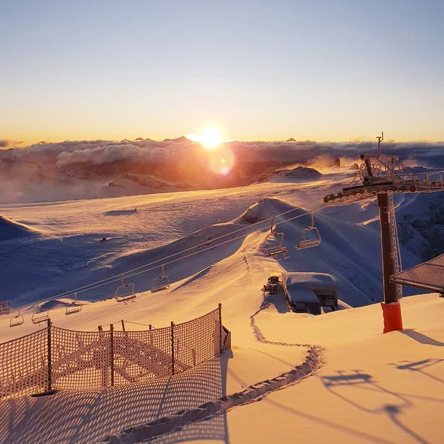
Weekly Snow News for Europe, updated 16 July 2026: Extreme Alpine heat above 4,000m (13,000ft) forces Tignes to close early, while Hintertux retains the Northern Hemisphere’s most skiable terrain despite rapid snowmelt.


 Nearest