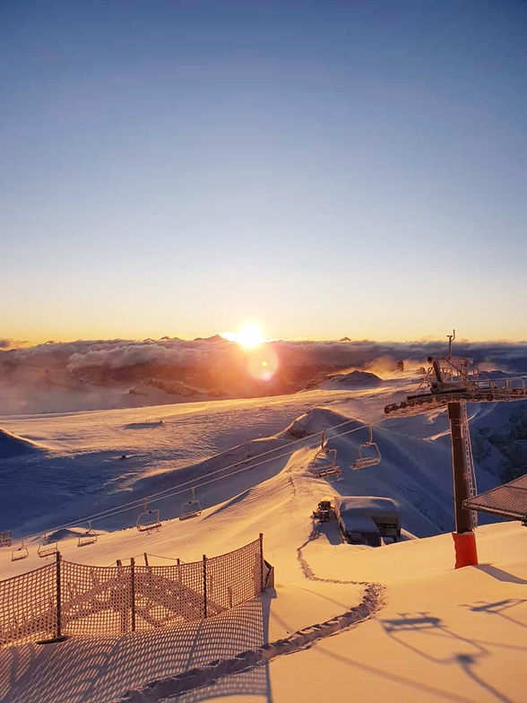


Global Weekly Snow Roundup #320
Weekly Snow News for the world, updated 25 June 2026: Chile and New Zealand's seasons proper set to begin, Tignes and Sunshine reopen for summer skiing. weekend as Riksgransen ends its 2026 season.

Next 3 days weather summary:Heavy rain (total 28.0mm), heaviest during Mon night. Very mild (max 12°C on Sat afternoon, min 8°C on Sun night). Wind will be generally light. | Days 4-6 weather summary:Moderate rain (total 13.0mm) heaviest on Tue afternoon, then becoming colder with a dusting of snow on Wed afternoon. Mild temperatures (max 9°C on Tue afternoon, min 1°C on Wed afternoon). Winds increasing (calm on Tue night, fresh winds from the NNE by Wed night). | ||||||||||||||||
Sat 27 | Sunday 28 | Monday 29 | Tuesday 30 | Wednesday 1 | Thursday 2 | ||||||||||||
PM | night | AM | PM | night | AM | PM | night | AM | PM | night | AM | PM | night | AM | PM | night | |
t-storm risk | rain shwrs | t-storm risk | t-storm risk | rain shwrs | some clouds | t-storm risk | rain shwrs | t-storm risk | t-storm risk | rain shwrs | t-storm risk | light snow | snow shwrs | clear | clear | clear | |
km/h | |||||||||||||||||
Snow map |  |  |  |  |  |  | |||||||||||
— | — | — | — | — | — | — | — | — | — | — | — | 4 | — | — | — | — | |
mm | 1 | 5 | 1 | 2 | 2 | — | 4 | 12 | 1 | 4 | 3 | 3 | 3 | — | — | — | — |
max °C | 12 | 11 | 10 | 10 | 10 | 10 | 10 | 9 | 8 | 9 | 8 | 6 | 4 | 3 | 5 | 5 | 6 |
min °C | 11 | 10 | 10 | 10 | 8 | 9 | 9 | 8 | 8 | 8 | 6 | 5 | 1 | 1 | 5 | 5 | 5 |
chill °C | 11 | 9 | 10 | 10 | 8 | 9 | 8 | 8 | 8 | 8 | 5 | 3 | -4 | -5 | 1 | 3 | 2 |
Humid % | 81 | 57 | 68 | 74 | 52 | 50 | 80 | 75 | 72 | 74 | 85 | 79 | 84 | 74 | 26 | 68 | 36 |
Freeze m | 4650 | 4650 | 4450 | 4450 | 4500 | 4450 | 4350 | 4300 | 4300 | 4400 | 4200 | 3800 | 3250 | 3200 | 3950 | 3900 | 4000 |
— | — | 5:41 | — | — | 5:41 | — | — | 5:41 | — | — | 5:41 | — | — | 5:43 | — | — | |
— | 9:27 | — | — | 9:27 | — | — | 9:27 | — | — | 9:27 | — | — | 9:27 | — | — | 9:25 | |
Go pro and carve into:
Avalanche information: European Avalanche Warning Services (EAWS)
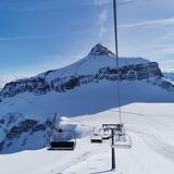
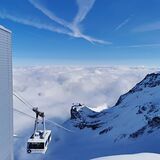
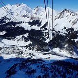
Latest snow reports near Gstaad Glacier 3000:
| Top snow depth: | — |
|---|---|
| Bottom snow depth: | — |
| Fresh snowfall depth: | — |
| Last snowfall: | 10 Jun 2026 |
| Snow Alerts | Create Alert |
0.1 | Bluebird Powder days Fresh snow, mostly sunny, light wind. |
|---|---|
0.0 | Powder days Fresh snow, limited sun, any wind. |
0.0 | Bluebird days Average snow, mostly sunny, light wind. |
The above table gives the weather forecast for Gstaad Glacier 3000 at the specific elevation of 3016 m. Our sophisticated weather models allow us to provide snow forecasts for the top, middle and bottom ski stations of Gstaad Glacier 3000. To access the weather forecasts for the other elevations, use the tab navigation above the table. For a wider view of the weather, check out the Weather Map of Switzerland.
Click here to read further information on freezing levels and how we forecast our temperatures.
Overall 4.0 Based on 4 votes and 2 reviews
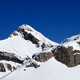
As a fairly frequent winter visitor to Glacier 3000, either skiing over from Villars with a bus connection or driving round, several points need to be made. Choose the day carefully when there is little wind and preferably lots of sun. It can be glorious or hell up high. Choose a day when the stunning Combe d' Audon run is open. The glacier is also a perfect place to practice and perfect powder skiing. My one criticism is that returning to the cable car from glacier skiing there is invariably a hard slog of pole planting or even walking; why oh why has no modest lift been installed. This would transform the appeal of such a beautiful destination.
ian from United Kingdom writes:
As a fairly frequent winter visitor to Glacier 3000, either skiing over from Villars with a bus connection or driving round, several points need to be made. Choose the day carefully when there is little wind and preferably lots of sun. It can be glorious or hell up high. Choose a day when the stunning Combe d' Audon run is open. The glacier is also a perfect place to practice and perfect powder skiing.
My one criticism is that returning to the cable car from glacier skiing there is invariably a hard slog of pole planting or even walking; why oh why has no modest lift been installed. This would transform the appeal of such a beautiful destination.
Read 1 more reviews of Gstaad Glacier 3000 or submit your own


 Nearest