

America’s Next Indoor Snow Centre Takes Shape
Construction of a new indoor snow centre for skiers, boarders and tubers appears to be making good progress at Heritage Farm in Wayne County, West Virginia.

Next 3 days weather summary:Light rain (total 9.0mm), mostly falling on Sat night. Warm (max 21°C on Sat afternoon, min 10°C on Thu night). Wind will be generally light. | Days 4-6 weather summary:Moderate rain (total 15.0mm), heaviest on Sun afternoon. Warm (max 21°C on Tue afternoon, min 11°C on Sun night). Wind will be generally light. | |||||||||||||||||
Thursday 23 | Friday 24 | Saturday 25 | Sunday 26 | Monday 27 | Tuesday 28 | |||||||||||||
AM | PM | night | AM | PM | night | AM | PM | night | AM | PM | night | AM | PM | night | AM | PM | night | |
cloudy | some clouds | clear | clear | some clouds | clear | clear | t-storm risk | mod. rain | t-storm risk | t-storm risk | rain shwrs | clear | some clouds | rain shwrs | clear | some clouds | rain shwrs | |
km/h | ||||||||||||||||||
Snow map |  |  |  |  |  |  | ||||||||||||
— | — | — | — | — | — | — | — | — | — | — | — | — | — | — | — | — | — | |
mm | — | — | — | — | — | — | — | 1 | 8 | 3 | 6 | 4 | — | — | 1 | — | — | 1 |
max °C | 13 | 14 | 12 | 15 | 17 | 15 | 19 | 21 | 18 | 15 | 15 | 12 | 15 | 17 | 15 | 18 | 21 | 18 |
min °C | 11 | 14 | 10 | 12 | 17 | 15 | 16 | 20 | 14 | 14 | 14 | 11 | 12 | 16 | 13 | 15 | 20 | 16 |
chill °C | 11 | 13 | 10 | 12 | 17 | 15 | 16 | 20 | 14 | 14 | 14 | 11 | 12 | 16 | 13 | 15 | 20 | 16 |
Humid % | 52 | 56 | 57 | 30 | 40 | 44 | 35 | 45 | 73 | 67 | 74 | 72 | 62 | 71 | 65 | 60 | 61 | 79 |
Freeze m | 3500 | 3450 | 3800 | 4150 | 4250 | 4400 | 4350 | 4250 | 3950 | 3750 | 3800 | 3800 | 3950 | 4150 | 4600 | 4650 | 4700 | 4600 |
5:56 | — | — | 5:58 | — | — | 5:58 | — | — | 6:00 | — | — | 6:01 | — | — | 6:01 | — | — | |
— | — | 9:09 | — | — | 9:08 | — | — | 9:07 | — | — | 9:07 | — | — | 9:06 | — | — | 9:05 | |
Go pro and carve into:
Avalanche information: European Avalanche Warning Services (EAWS)
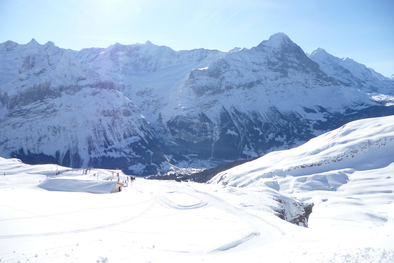
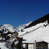
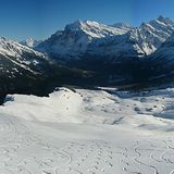
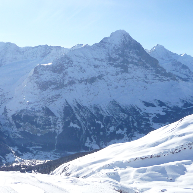
Latest snow reports near Grindelwald:
| Top snow depth: | 0 cm |
|---|---|
| Bottom snow depth: | 0 cm |
| Fresh snowfall depth: | — |
| Last snowfall: | 16 May 2026 |
| Snow Alerts | Create Alert |
0.0 | Bluebird Powder days Fresh snow, mostly sunny, light wind. |
|---|---|
0.0 | Powder days Fresh snow, limited sun, any wind. |
0.0 | Bluebird days Average snow, mostly sunny, light wind. |
The above table gives the weather forecast for Grindelwald at the specific elevation of 1709 m. Our sophisticated weather models allow us to provide snow forecasts for the top, middle and bottom ski stations of Grindelwald. To access the weather forecasts for the other elevations, use the tab navigation above the table. For a wider view of the weather, check out the Weather Map of Switzerland.
Click here to read further information on freezing levels and how we forecast our temperatures.
Overall 4.4 Based on 37 votes and 13 reviews
Très déçu de voir le comportement de la personne qui s’est occupé du téléski Arven ce matin, commence à s’énerver et à m’insulter en allemand parce que je voulais simplement lui poser une question. Sinon Grindelwald est une excellent station ❤️
Dylann Moreno from Switzerland writes:
Très déçu de voir le comportement de la personne qui s’est occupé du téléski Arven ce matin, commence à s’énerver et à m’insulter en allemand parce que je voulais simplement lui poser une question.
Sinon Grindelwald est une excellent station ❤️


 Nearest