The above table gives the weather forecast for Grindelwald at the specific elevation of 945 m. Our sophisticated weather models allow us to provide snow forecasts for the top, middle and bottom ski stations of Grindelwald. To access the weather forecasts for the other elevations, use the tab navigation above the table. For a wider view of the weather, check out the Weather Map of Switzerland.
Click here to read further information on freezing levels and how we forecast our temperatures.
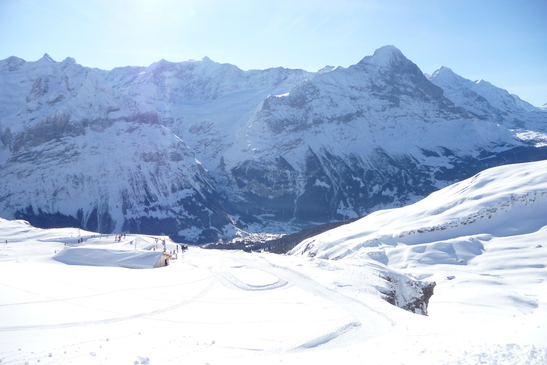
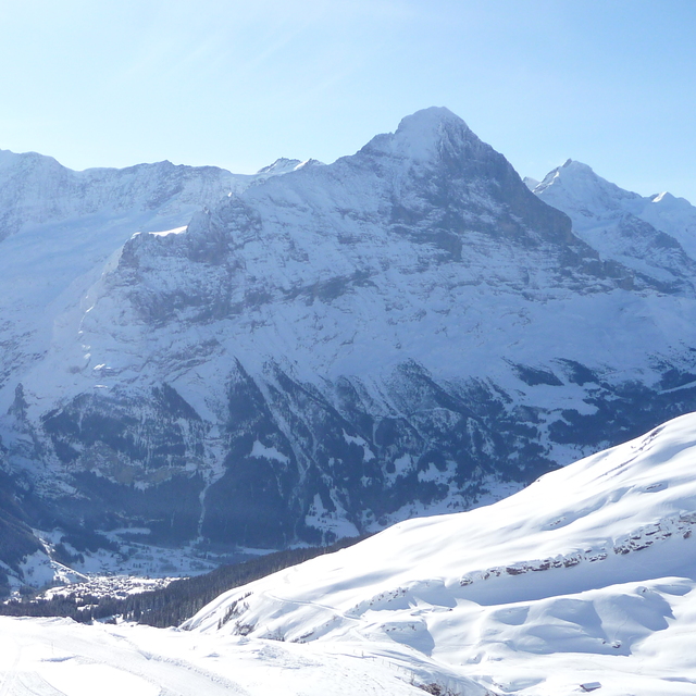
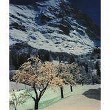
Well, Grindelwald is not as pretty as Wengen but I won't call it ugly. Stayed at the Kirschbuhl hotel; 120 euros a night, breakfast included; this was in February 2017. The breakfast was superb and the view through the mountains to the Eiger just mind blowing. The suppers were fabulous but a tad expensive. Hey, fabulous food is almost never cheap. This is a 4 star hotel but having supper and looking out to the moonlight drenched snowy mountains is just amazing; they seem so immediate. The staff at the hotel were incredible and jolly helpful. Heh, heh the cake and pastries at tea time were free and freshly baked. There are lots of good cheap restaurants, actually dirt cheap if you compare them to Zermatt, Verbier, Saas Fee and Crans Montana.
Well, Grindelwald is not as pretty as Wengen but I won't call it ugly. Stayed at the Kirschbuhl hotel; 120 euros a night, breakfast included; this was in February 2017. The breakfast was superb and the view through the mountains to the Eiger just mind blowing. The suppers were fabulous but a tad expensive. Hey, fabulous food is almost never cheap. This is a 4 star hotel but having supper and looking out to the moonlight drenched snowy mountains is just amazing; they seem so immediate. The staff at the hotel were incredible and jolly helpful. Heh, heh the cake and pastries at tea time were free and freshly baked. There are lots of good cheap restaurants, actually dirt cheap if you compare them to Zermatt, Verbier, Saas Fee and Crans Montana.
Free Snow-Forecast.com weather widget for your website
Embed the Grindelwald weather widget on your site for free. It provides a weekly snapshot of snow and rain conditions across all elevations. Follow the two quick steps to grab your custom code and paste it into your site. Choose between metric or imperial units. Click here to get the code.


 Nearest