Drizzle at first, then turning colder with dusting of snow on Sun night. Freeze-thaw conditions (max 5°C on Sun morning, min -4°C on Fri afternoon). Wind will be generally light.
Days 4-6 weather summary:
Moderate rain (total 13.0mm) on Tue morning. Becoming colder with heavy fall of snow, heaviest during Tue night. Freeze-thaw conditions (max 3°C on Mon morning, min -2°C on Tue night). Wind will be generally light.
Light rain reported from Sion at 339 metres elevation only 2 kms NW of Veysonnaz-Printse but it is forecast cold enough for snow at higher elevations in the ski area from Veysonnaz-Printse
19km away from Grimentz
16 hours ago
Light rain reported from Sion at 339 metres elevation only 2 kms NW of Veysonnaz-Printse but it is forecast cold enough for snow at the ski area from Veysonnaz-Printse
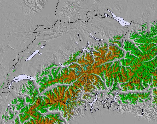
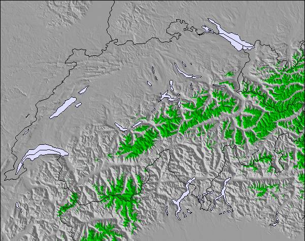
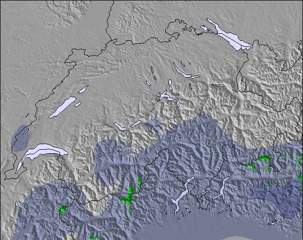
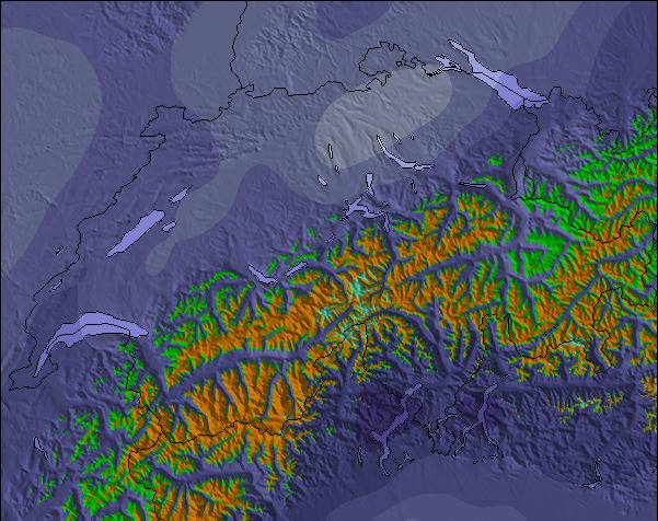
The above table gives the weather forecast for Grimentz at the specific elevation of 1571 m. Our sophisticated weather models allow us to provide snow forecasts for the top, middle and bottom ski stations of Grimentz. To access the weather forecasts for the other elevations, use the tab navigation above the table. For a wider view of the weather, check out the Weather Map of Switzerland.
Click here to read further information on freezing levels and how we forecast our temperatures.
I don't understand these sometimes negative reviews. Simply put, Grimentz is wonderful. I have spent years skiing in virtually every major Swiss resort, big and small, and many French ones. But I am new to Grimentz which has it all. Charming old village, really hospitable people, few queues, good food, amazing views and remarkably well-kept runs. And it's less expensive than bigger resorts. Excellent service in the Intersport ski shop. Most important, the kids gained confidence and hugely enjoyed the excellent ski school.Yes, we have just come back after a massive drought combined with warm weather, so the skiing was limited as it is everywhere at present in the the Alps. But anybody with a modicum of intelligence should be able to see the opportunity for really great off-piste skiing when there is snow and the connection with Zinal increases the skiing considerably.
The Hotel Cristal is lovely with a short walk to the lifts. Oliver and his outstanding staff are delightful, kind, hospitable and always smile taking trouble to make you feel really welcome. Some mindless people are bored in the evening? How about taking a good book or Kindle and relaxing comfortably with a drink.
I don't understand these sometimes negative reviews. Simply put, Grimentz is wonderful. I have spent years skiing in virtually every major Swiss resort, big and small, and many French ones. But I am new to Grimentz which has it all. Charming old village, really hospitable people, few queues, good food, amazing views and remarkably well-kept runs. And it's less expensive than bigger resorts. Excellent service in the Intersport ski shop. Most important, the kids gained confidence and hugely enjoyed the excellent ski school.Yes, we have just come back after a massive drought combined with warm weather, so the skiing was limited as it is everywhere at present in the the Alps. But anybody with a modicum of intelligence should be able to see the opportunity for really great off-piste skiing when there is snow and the connection with Zinal increases the skiing considerably.
The Hotel Cristal is lovely with a short walk to the lifts. Oliver and his outstanding staff are delightful, kind, hospitable and always smile taking trouble to make you feel really welcome. Some mindless people are bored in the evening? How about taking a good book or Kindle and relaxing comfortably with a drink.
Free Snow-Forecast.com weather widget for your website
Embed the Grimentz weather widget on your site for free. It provides a weekly snapshot of snow and rain conditions across all elevations. Follow the two quick steps to grab your custom code and paste it into your site. Choose between metric or imperial units. Click here to get the code.

 ski hire exclusive discount




 Snow
 Hourly & 16-day forecasts



 Sign up or Login to access
 Upload new photo

 Nearest