

America’s Next Indoor Snow Centre Takes Shape
Construction of a new indoor snow centre for skiers, boarders and tubers appears to be making good progress at Heritage Farm in Wayne County, West Virginia.

Next 3 days weather summary:Light rain (total 6.0mm), mostly falling on Sat morning. Very mild (max 16°C on Thu afternoon, min 6°C on Sat night). Winds increasing (light winds from the WNW on Thu morning, strong winds from the W by Fri night). | Days 4-6 weather summary:Light rain (total 9.0mm), mostly falling on Sun afternoon. Very mild (max 14°C on Tue morning, min 7°C on Sun night). Mainly fresh winds. | |||||||||||||||||
Thursday 23 | Friday 24 | Saturday 25 | Sunday 26 | Monday 27 | Tuesday 28 | |||||||||||||
AM | PM | night | AM | PM | night | AM | PM | night | AM | PM | night | AM | PM | night | AM | PM | night | |
clear | clear | clear | some clouds | light rain | light rain | rain shwrs | some clouds | some clouds | cloudy | light rain | rain shwrs | cloudy | light rain | cloudy | light rain | light rain | some clouds | |
km/h | ||||||||||||||||||
Snow map | 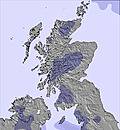 | 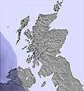 | 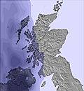 | 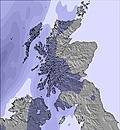 | 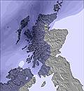 | 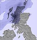 | ||||||||||||
— | — | — | — | — | — | — | — | — | — | — | — | — | — | — | — | — | — | |
mm | — | — | — | — | 1 | 2 | 3 | — | — | — | 2 | 3 | — | 2 | — | 1 | 1 | — |
max °C | 15 | 16 | 13 | 13 | 14 | 10 | 10 | 10 | 8 | 10 | 10 | 9 | 10 | 11 | 12 | 14 | 14 | 13 |
min °C | 13 | 15 | 10 | 11 | 11 | 9 | 9 | 9 | 6 | 8 | 10 | 7 | 9 | 11 | 11 | 12 | 14 | 12 |
chill °C | 12 | 14 | 6 | 8 | 8 | 5 | 4 | 5 | 2 | 5 | 8 | 3 | 6 | 8 | 8 | 10 | 12 | 10 |
Humid % | 71 | 62 | 72 | 72 | 65 | 94 | 93 | 81 | 83 | 81 | 79 | 94 | 85 | 88 | 94 | 91 | 86 | 86 |
Freeze m | 3550 | 3650 | 3700 | 3900 | 3550 | 3700 | 3100 | 2950 | 2750 | 2350 | 2400 | 2250 | 2700 | 3000 | 3450 | 3550 | 3350 | 3350 |
4:54 | — | — | 4:56 | — | — | 4:58 | — | — | 5:01 | — | — | 5:01 | — | — | 5:03 | — | — | |
— | 9:43 | — | — | 9:42 | — | — | 9:39 | — | — | 9:37 | — | — | 9:36 | — | — | 9:34 | — | |
Go pro and carve into:
Avalanche information: European Avalanche Warning Services (EAWS)
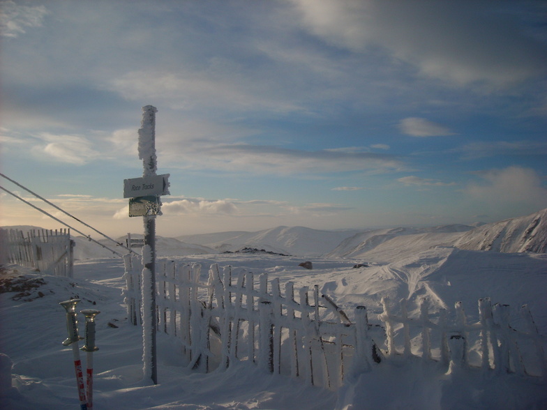
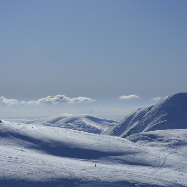
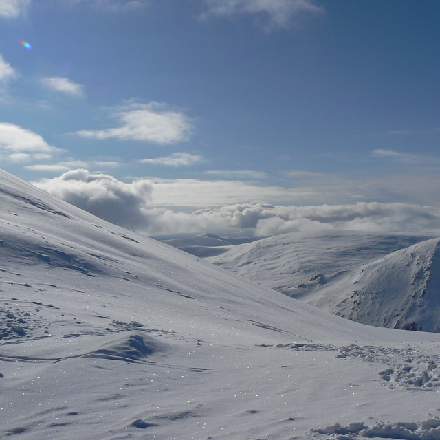
Latest snow reports near Glenshee:
| Top snow depth: | 0 cm |
|---|---|
| Bottom snow depth: | 0 cm |
| Fresh snowfall depth: | — |
| Last snowfall: | 17 May 2026 |
| Snow Alerts | Create Alert |
0.0 | Bluebird Powder days Fresh snow, mostly sunny, light wind. |
|---|---|
0.0 | Powder days Fresh snow, limited sun, any wind. |
0.0 | Bluebird days Average snow, mostly sunny, light wind. |
The above table gives the weather forecast for Glenshee at the specific elevation of 842 m. Our sophisticated weather models allow us to provide snow forecasts for the top, middle and bottom ski stations of Glenshee. To access the weather forecasts for the other elevations, use the tab navigation above the table. For a wider view of the weather, check out the Weather Map of United Kingdom.
Click here to read further information on freezing levels and how we forecast our temperatures.
Overall 3.2 Based on 36 votes and 49 reviews
The best in the UK in so many areas. Fantastic lift system. Large area to explore. See some great wildlife. Also, mountain hares and various birds. Best ski hire is at The Cabin Ski Hire in Bridge of Cally. Best boards are at the centre. Huge parking area and 3 good cafes, decent beginner area too. Well worth the drive up!
Skier Scot from United Kingdom writes:
The best in the UK in so many areas.
Fantastic lift system. Large area to explore. See some great wildlife. Also, mountain hares and various birds.
Best ski hire is at The Cabin Ski Hire in Bridge of Cally. Best boards are at the centre.
Huge parking area and 3 good cafes, decent beginner area too. Well worth the drive up!


 Nearest