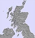
The above table gives the weather forecast for Glencoe Mountain Resort at the specific elevation of 706 m. Our sophisticated weather models allow us to provide snow forecasts for the top, middle and bottom ski stations of Glencoe Mountain Resort. To access the weather forecasts for the other elevations, use the tab navigation above the table. For a wider view of the weather, check out the Weather Map of United Kingdom.
Click here to read further information on freezing levels and how we forecast our temperatures.
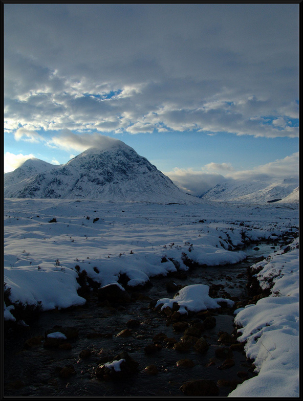
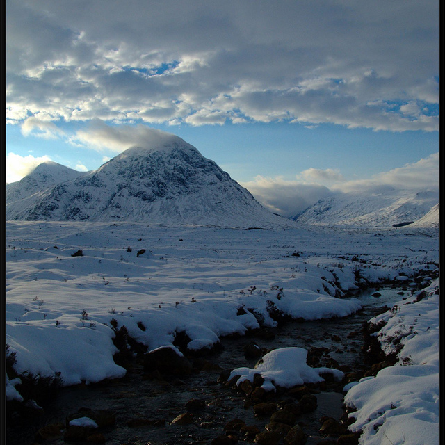
Old lifts, a bit slow, windy, flat light but who cares! I've had some of my most enjoyable days skiing here and I'm taking Cham, La Grave, etc into account when I say this. The views can be staggering, the snow can be fantastic, the steepness is exciting; good for beginners and experts alike.
I don't care about the quirks, if you want to be part of the skiing machine go to Zermatt where there's cham etc. but don't go the Glencoe and expect the same. If you are lucky you'll get one of the best views from a ski resort in Europe and quality skiing which will test you. Great memories, thank you.
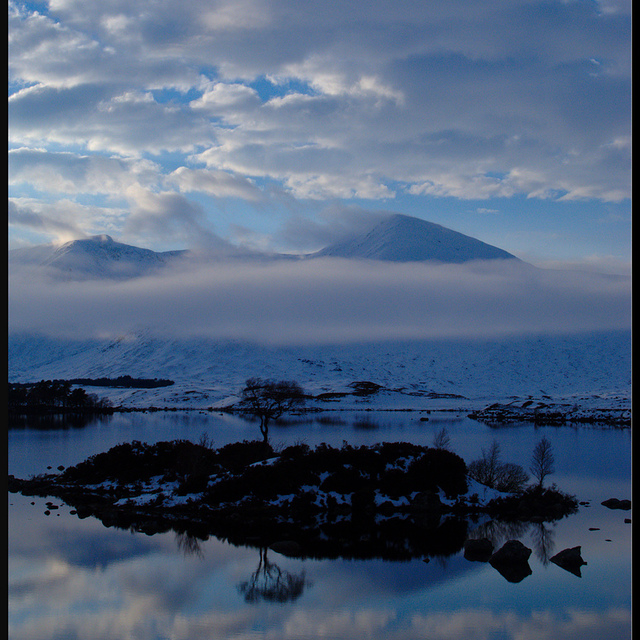
Free Snow-Forecast.com weather widget for your website
Embed the Glencoe Mountain Resort weather widget on your site for free. It provides a weekly snapshot of snow and rain conditions across all elevations. Follow the two quick steps to grab your custom code and paste it into your site. Choose between metric or imperial units. Click here to get the code.


 Nearest