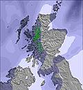
Weather Forecast for Glencoe Mountain Resort at305m altitude
Issued: 12 am 30 Jun 2026 (local time)
Forecast update in hr min
View forecast
Glencoe Mountain Resortat 305 m altitude
Issued by Snow-Forecast.com at:12 am (local time) / 30 Jun 2026
Last 6 daysScroll left for last 6 daysNow
Next 4 days weather summary:
Heavy rain (total 33.0mm), heaviest during Wed night. Very mild (max 14°C on Tue afternoon, min 10°C on Wed night). Winds increasing (calm on Tue afternoon, fresh winds from the WNW by Thu morning).
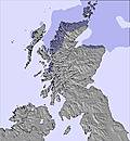
Days 5-7 weather summary:
Moderate rain (total 14.0mm), heaviest on Fri afternoon. Very mild (max 16°C on Sun afternoon, min 8°C on Thu night). Winds decreasing (fresh winds from the WNW on Fri night, light winds from the WNW by Sun afternoon).
The above table gives the weather forecast for Glencoe Mountain Resort at the specific elevation of 305 m. Our sophisticated weather models allow us to provide snow forecasts for the top, middle and bottom ski stations of Glencoe Mountain Resort. To access the weather forecasts for the other elevations, use the tab navigation above the table. For a wider view of the weather, check out the Weather Map of United Kingdom.
Click here to read further information on freezing levels and how we forecast our temperatures.
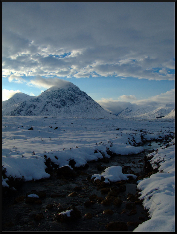
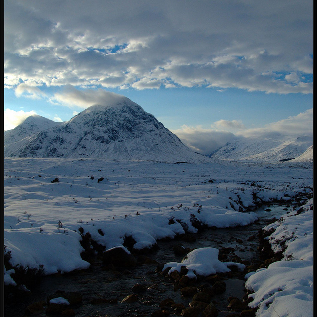
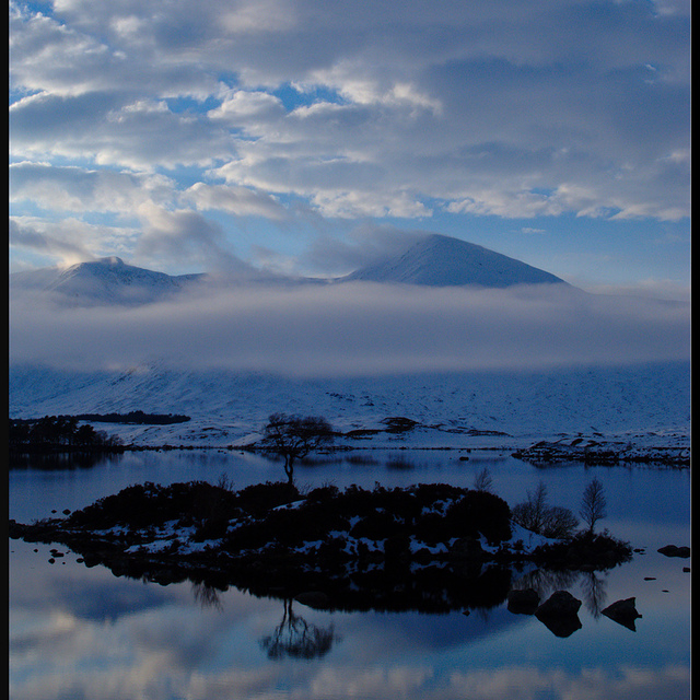
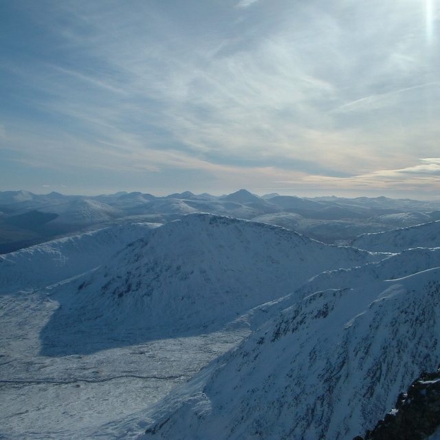
Glencoe is an awesome resort with the best on / off piste skiing in Scotland. It has both the longest & steepest pisted slopes in the UK.
I can get there in just over 1 hour from Glasgow (1 hour & 7 minutes).
I have skied there for may years. In the 1990's the top tows were buried (I even skied over the top of the pylons). However, that was nothing compared to the amount of snow in the 2014 season. The extended pylons were once again buried. The guys, at Glencoe, worked very hard and it felt like you were going through a tunnel due to the depth of snow at the sides of the tow tracks; both upper & lower T-bar's.
There is also an awesome All Mountain Freeride Ski Club (GSC), on the mountain, who provide continuous development to trainees, as well as WSRT that provide advanced race training.
Free Snow-Forecast.com weather widget for your website
Embed the Glencoe Mountain Resort weather widget on your site for free. It provides a weekly snapshot of snow and rain conditions across all elevations. Follow the two quick steps to grab your custom code and paste it into your site. Choose between metric or imperial units. Click here to get the code.


 Nearest