

Global Weekly Snow Roundup #320
Weekly Snow News for the world, updated 25 June 2026: Chile and New Zealand's seasons proper set to begin, Tignes and Sunshine reopen for summer skiing. weekend as Riksgransen ends its 2026 season.

Next 3 days weather summary:Heavy rain (total 65.0mm), heaviest during Sun night. Warm (max 20°C on Sat afternoon, min 12°C on Sun night). Wind will be generally light. | Days 4-6 weather summary:Heavy rain (total 49.0mm), heaviest during Wed morning. Very mild (max 14°C on Tue night, min 5°C on Wed night). Wind will be generally light. | |||||||||||||||||
Saturday 27 | Sunday 28 | Monday 29 | Tuesday 30 | Wednesday 1 | Thursday 2 | |||||||||||||
AM | PM | night | AM | PM | night | AM | PM | night | AM | PM | night | AM | PM | night | AM | PM | night | |
some clouds | t-storm risk | rain shwrs | t-storm risk | mod. rain | rain shwrs | t-storm risk | t-storm risk | heavy rain | light rain | t-storm risk | rain shwrs | heavy rain | heavy rain | rain shwrs | some clouds | clear | clear | |
km/h | ||||||||||||||||||
Snow map |  |  |  |  |  |  | ||||||||||||
— | — | — | — | — | — | — | — | — | — | — | — | — | — | — | — | — | — | |
mm | — | 1 | 5 | 2 | 7 | 25 | 1 | 2 | 22 | 1 | 3 | 5 | 27 | 11 | 2 | — | — | — |
max °C | 19 | 20 | 16 | 18 | 19 | 15 | 15 | 17 | 12 | 11 | 13 | 14 | 9 | 6 | 6 | 8 | 11 | 11 |
min °C | 17 | 18 | 16 | 17 | 16 | 12 | 14 | 16 | 12 | 11 | 12 | 10 | 6 | 6 | 5 | 6 | 11 | 10 |
chill °C | 17 | 18 | 16 | 17 | 16 | 11 | 14 | 16 | 12 | 11 | 12 | 10 | 4 | 4 | 2 | 3 | 9 | 8 |
Humid % | 47 | 65 | 51 | 51 | 75 | 56 | 60 | 68 | 73 | 82 | 73 | 92 | 95 | 90 | 77 | 66 | 54 | 56 |
Freeze m | 4650 | 4650 | 4650 | 4550 | 4450 | 4550 | 4400 | 4400 | 4200 | 4050 | 4250 | 4150 | 3300 | 3150 | 2950 | 3000 | 3650 | 3650 |
5:20 | — | — | 5:20 | — | — | 5:20 | — | — | 5:22 | — | — | 5:22 | — | — | 5:22 | — | — | |
— | — | 9:16 | — | — | 9:16 | — | — | 9:15 | — | — | 9:15 | — | — | 9:15 | — | — | 9:15 | |
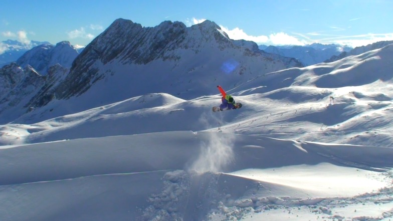
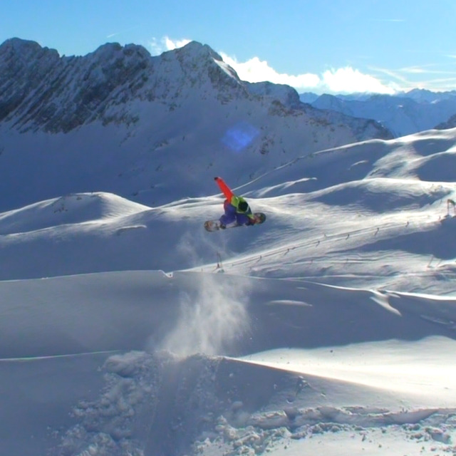
Go pro and carve into:
Avalanche information: European Avalanche Warning Services (EAWS)
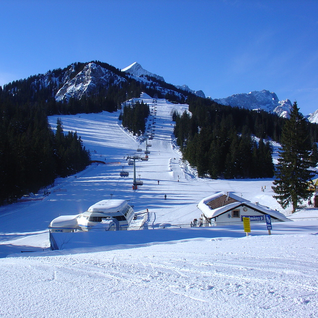
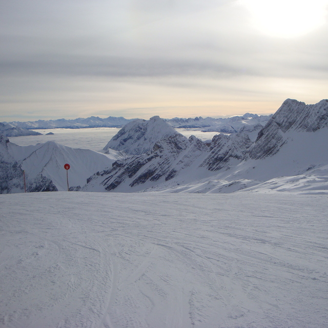
Latest snow reports near Garmisch-Partenkirchen-Zugspitze:
| Top snow depth: | 0 cm |
|---|---|
| Bottom snow depth: | 0 cm |
| Fresh snowfall depth: | — |
| Last snowfall: | 10 Jun 2026 |
| Snow Alerts | Create Alert |
0.0 | Bluebird Powder days Fresh snow, mostly sunny, light wind. |
|---|---|
0.0 | Powder days Fresh snow, limited sun, any wind. |
0.0 | Bluebird days Average snow, mostly sunny, light wind. |
The above table gives the weather forecast for Garmisch-Partenkirchen-Zugspitze at the specific elevation of 2155 m. Our sophisticated weather models allow us to provide snow forecasts for the top, middle and bottom ski stations of Garmisch-Partenkirchen-Zugspitze. To access the weather forecasts for the other elevations, use the tab navigation above the table. For a wider view of the weather, check out the Weather Map of Germany.
Click here to read further information on freezing levels and how we forecast our temperatures.
Overall 4.1 Based on 15 votes and 10 reviews
Skied here in the February school holidays; have never skied in Germany before but heard some good reviews. I found this place a charming skiing resort; very beautiful place. We stayed in the Hotel Vier Jahreszeiten which was centrally based and opposite the train station. You could access Hausberg lifts by either train or bus but as I was skiing with the family we caught a taxi each day which was 10 Euros each. I assume, as it was school holidays, the lift queues were longer than normal but nothing too bad. The slopes were in fantastic condition and were helped by blue skies all week. There are not enough slopes to keep you occupied all week unless you don’t mind skiing the same runs. Good variation of difficulty of runs. This resort is really good value, nothing like the prices you pay in France. If the resort has good snow fall and you want a nice ski break you have to consider Garmisch; cheap flights to Munich and the train only takes you 90 minutes.
Smithy from United Kingdom writes:
Skied here in the February school holidays; have never skied in Germany before but heard some good reviews. I found this place a charming skiing resort; very beautiful place. We stayed in the Hotel Vier Jahreszeiten which was centrally based and opposite the train station. You could access Hausberg lifts by either train or bus but as I was skiing with the family we caught a taxi each day which was 10 Euros each. I assume, as it was school holidays, the lift queues were longer than normal but nothing too bad. The slopes were in fantastic condition and were helped by blue skies all week. There are not enough slopes to keep you occupied all week unless you don’t mind skiing the same runs. Good variation of difficulty of runs. This resort is really good value, nothing like the prices you pay in France. If the resort has good snow fall and you want a nice ski break you have to consider Garmisch; cheap flights to Munich and the train only takes you 90 minutes.
Read 9 more reviews of Garmisch-Partenkirchen-Zugspitze or submit your own


 Nearest