

Portillo Storm Snowfall Total Passes 5m / 17 Feet
A snow storm that has now continued for nine days has taken Chilean ski resort Portillo to a snowfall total of 5.2 metres (17 feet) so far, with more snow forecast.

Next 3 days weather summary:A moderate fall of snow, heaviest on Fri afternoon. Freeze-thaw conditions (max 1°C on Wed morning, min -11°C on Fri night). Winds increasing (light winds from the NW on Wed morning, near gales from the NW by Thu night). | Days 4-6 weather summary:Mostly dry. Temperatures will be below freezing (max 0°C on Sun night, min -11°C on Sat morning). Wind will be generally light. | |||||||||||||||||
Wednesday 29 | Thursday 30 | Friday 31 | Saturday 1 | Sunday 2 | Monday 3 | |||||||||||||
AM | PM | night | AM | PM | night | AM | PM | night | AM | PM | night | AM | PM | night | AM | PM | night | |
clear | cloudy | cloudy | some clouds | light snow | snow shwrs | light snow | light snow | snow shwrs | light snow | some clouds | clear | clear | clear | some clouds | cloudy | clear | clear | |
km/h | ||||||||||||||||||
Snow map |  |  | 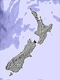 |  |  |  | ||||||||||||
— | — | — | — | 3 | 2 | — | 3 | 4 | — | — | — | — | — | — | — | — | — | |
mm | — | — | — | — | — | — | — | — | — | — | — | — | — | — | — | — | — | — |
max °C | 1 | 0 | 1 | 0 | 1 | -2 | -3 | -3 | -8 | -9 | -7 | -2 | -1 | -1 | 0 | 0 | -1 | -2 |
min °C | 0 | 0 | 0 | 0 | -1 | -3 | -4 | -5 | -11 | -11 | -7 | -5 | -1 | -1 | -1 | 0 | -2 | -4 |
chill °C | -4 | -4 | -4 | -7 | -9 | -12 | -12 | -14 | -20 | -20 | -13 | -10 | -4 | -4 | -5 | -5 | -6 | -8 |
Humid % | 55 | 76 | 76 | 70 | 74 | 70 | 81 | 90 | 88 | 89 | 61 | 53 | 53 | 54 | 54 | 56 | 71 | 76 |
Freeze m | 1950 | 1950 | 1900 | 1800 | 2000 | 1450 | 1200 | 1450 | 350 | 200 | 650 | 350 | 1750 | 1750 | 1650 | 1800 | 1650 | 1250 |
7:54 | — | — | 7:54 | — | — | 7:52 | — | — | 7:50 | — | — | 7:50 | — | — | 7:48 | — | — | |
— | 5:30 | — | — | 5:31 | — | — | 5:34 | — | — | 5:35 | — | — | 5:36 | — | — | 5:37 | — | |
Go pro and carve into:
Avalanche information: New Zealand Avalanche Advisory
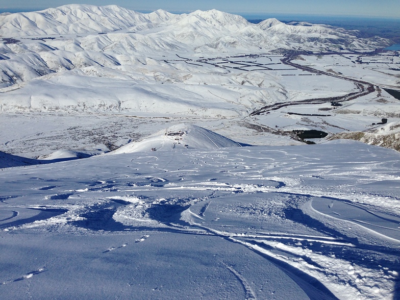
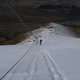
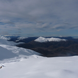
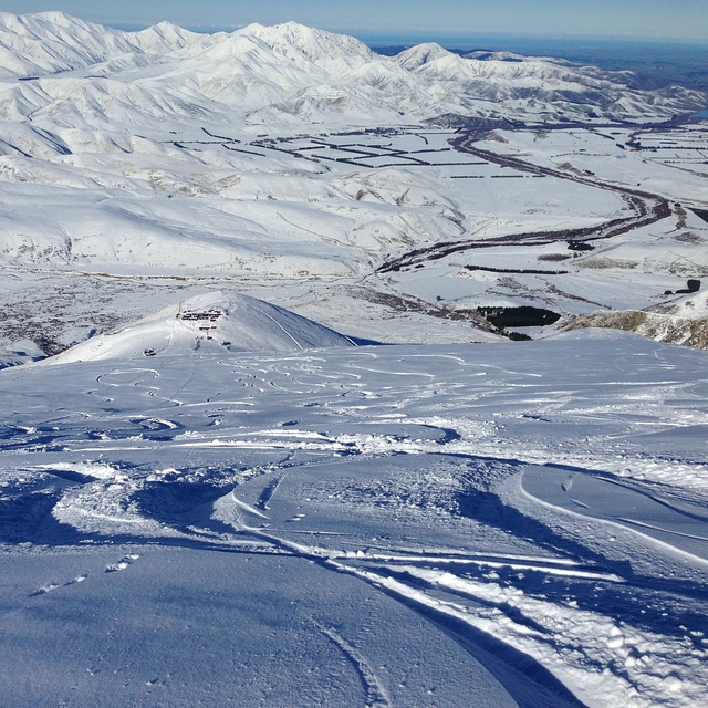
Latest snow reports near Fox Peak:
| Top snow depth: | — |
|---|---|
| Bottom snow depth: | — |
| Fresh snowfall depth: | — |
| Last snowfall: | 25 Jul 2026 |
| Snow Alerts | Create Alert |
0.8 | Bluebird Powder days Fresh snow, mostly sunny, light wind. |
|---|---|
1.0 | Powder days Fresh snow, limited sun, any wind. |
1.5 | Bluebird days Average snow, mostly sunny, light wind. |
The above table gives the weather forecast for Fox Peak at the specific elevation of 1851 m. Our sophisticated weather models allow us to provide snow forecasts for the top, middle and bottom ski stations of Fox Peak. To access the weather forecasts for the other elevations, use the tab navigation above the table. For a wider view of the weather, check out the Weather Map of New Zealand.
Click here to read further information on freezing levels and how we forecast our temperatures.


 Nearest