


Zermatt Temporarily Suspends Summer Skiing
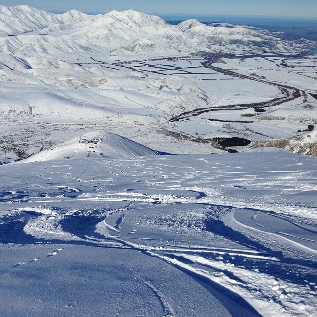
Zermatt, home to the highest lift-served ski slopes in Europe and the only ski area still left aiming to operate skiing 365 days a year, has announced the temporary closure of summer skiing for visitors on the Theodul Glacier.


 Nearest