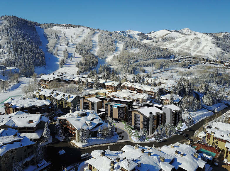
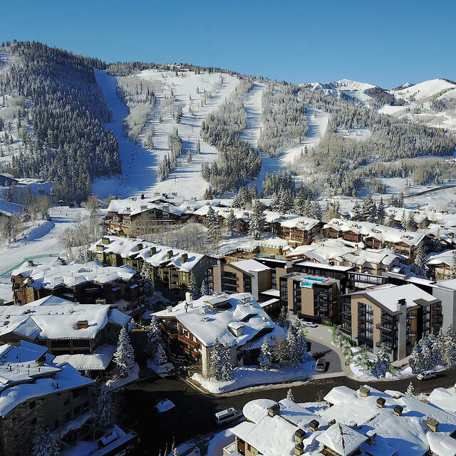
The above table gives the weather forecast for Deer Valley at the specific elevation of 2002 m. Our sophisticated weather models allow us to provide snow forecasts for the top, middle and bottom ski stations of Deer Valley. To access the weather forecasts for the other elevations, use the tab navigation above the table. For a wider view of the weather, check out the Weather Map of United States.
Click here to read further information on freezing levels and how we forecast our temperatures.
No "strays on trays", all high speed quads, every chair has a foot rest, pow-pow forever, perfect groomers and more vertical-in-a-day than any other Utah resort: Perfection!! I've skied every resort in Utah, and DV is the best!...(that is unless you prefer aggro-powder hounds, lines, slow lifts, traffic jams to the hill, closed canyons and crowded runs.) I clicked into my boots at 9am one weekend day, and by the time I was done at 2pm I'd skied over 54,000 vertical. Try that at any other resort. You will get more turns in per dollar spent than anywhere else, so dump that snowboard habit and get real at a mountain where you can ski hard all day long...and never stand in a line. (Oh, the food is killer, and if you need a lesson, they have over 600 instructors.)
No "strays on trays", all high speed quads, every chair has a foot rest, pow-pow forever, perfect groomers and more vertical-in-a-day than any other Utah resort: Perfection!! I've skied every resort in Utah, and DV is the best!...(that is unless you prefer aggro-powder hounds, lines, slow lifts, traffic jams to the hill, closed canyons and crowded runs.) I clicked into my boots at 9am one weekend day, and by the time I was done at 2pm I'd skied over 54,000 vertical. Try that at any other resort. You will get more turns in per dollar spent than anywhere else, so dump that snowboard habit and get real at a mountain where you can ski hard all day long...and never stand in a line. (Oh, the food is killer, and if you need a lesson, they have over 600 instructors.)
Free Snow-Forecast.com weather widget for your website
Embed the Deer Valley weather widget on your site for free. It provides a weekly snapshot of snow and rain conditions across all elevations. Follow the two quick steps to grab your custom code and paste it into your site. Choose between metric or imperial units. Click here to get the code.


 Nearest