

Global Weekly Snow Roundup #320
Weekly Snow News for the world, updated 25 June 2026: Chile and New Zealand's seasons proper set to begin, Tignes and Sunshine reopen for summer skiing. weekend as Riksgransen ends its 2026 season.

Next 3 days weather summary:Mostly dry. Freeze-thaw conditions (max 2°C on Sun afternoon, min 0°C on Tue night). Wind will be generally light. | Days 4-6 weather summary:A dusting of new snow. Temperatures will be slightly above freezing (max 4°C on Thu night, min 1°C on Wed morning). Wind will be generally light. | |||||||||||||||||
Sunday 28 | Monday 29 | Tuesday 30 | Wednesday 1 | Thursday 2 | Friday 3 | |||||||||||||
AM | PM | night | AM | PM | night | AM | PM | night | AM | PM | night | AM | PM | night | AM | PM | night | |
clear | clear | some clouds | clear | clear | clear | clear | some clouds | clear | clear | clear | clear | clear | clear | clear | cloudy | cloudy | light snow | |
km/h | ||||||||||||||||||
Snow map |  |  |  |  |  |  | ||||||||||||
— | — | — | — | — | — | — | — | — | — | — | — | — | — | — | — | — | 3 | |
mm | — | — | — | — | — | — | — | — | — | — | — | — | — | — | — | — | — | — |
max °C | 1 | 2 | 1 | 2 | 2 | 2 | 2 | 2 | 1 | 2 | 2 | 3 | 3 | 3 | 4 | 4 | 3 | 1 |
min °C | 1 | 1 | 1 | 1 | 2 | 2 | 2 | 2 | 0 | 1 | 2 | 2 | 2 | 3 | 3 | 4 | 2 | 1 |
chill °C | -1 | -1 | 0 | 1 | 2 | 2 | 0 | 0 | -3 | -2 | -1 | 0 | 0 | 0 | 0 | 1 | -2 | -3 |
Humid % | 73 | 80 | 82 | 69 | 60 | 65 | 70 | 86 | 82 | 75 | 73 | 75 | 74 | 58 | 68 | 72 | 94 | 98 |
Freeze m | 1750 | 1750 | 1700 | 1800 | 2000 | 1900 | 1850 | 1800 | 1500 | 1650 | 1900 | 2150 | 2100 | 2250 | 2300 | 2350 | 2200 | 1900 |
8:23 | — | — | 8:23 | — | — | 8:23 | — | — | 8:23 | — | — | 8:22 | — | — | 8:22 | — | — | |
— | 5:12 | — | — | 5:12 | — | — | 5:13 | — | — | 5:13 | — | — | 5:14 | — | — | 5:14 | — | |
Go pro and carve into:
Avalanche information: New Zealand Avalanche Advisory
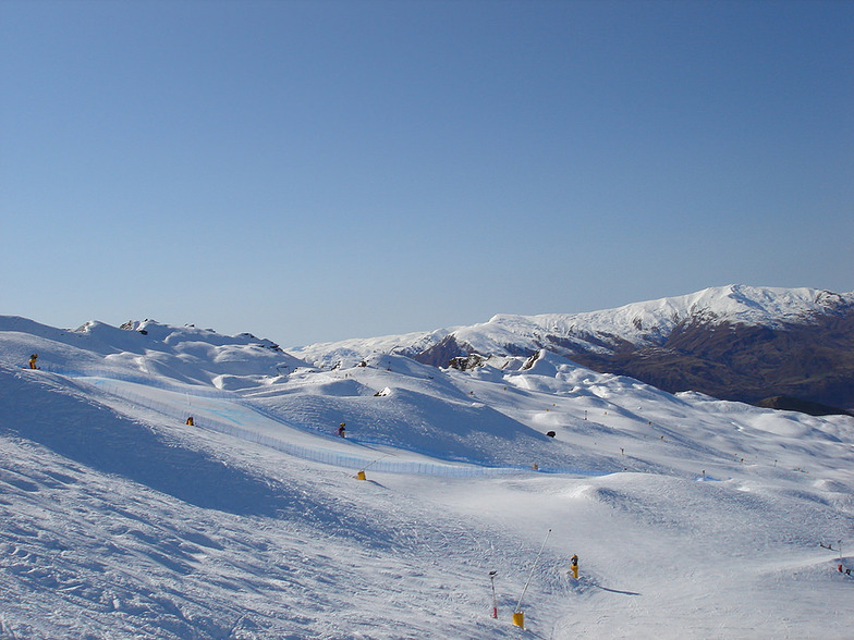
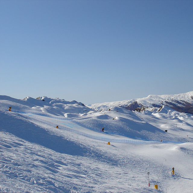
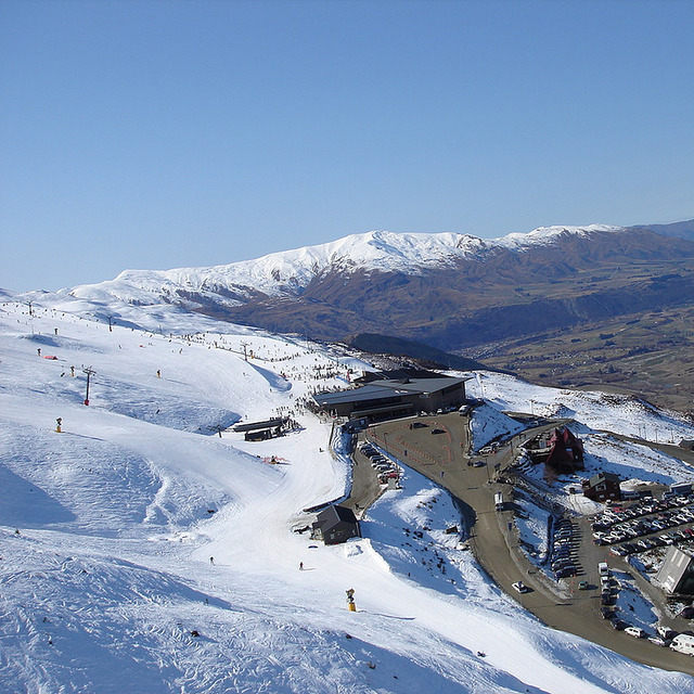
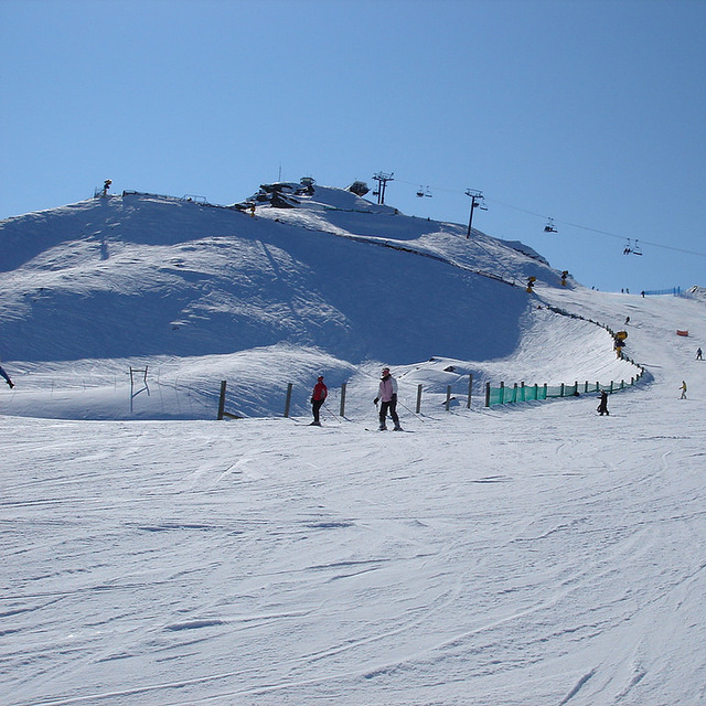
Latest snow reports near Coronet Peak:
Cloudless skies over Coronet Peak. No wind here. Freeze-thaw conditions. A few inches of new snow. There are some open lifts. Fair skiing on pistes. Insufficient off-piste snow for skiing. from Coronet Peak
| Top snow depth: | 20 cm |
|---|---|
| Bottom snow depth: | 15 cm |
| Fresh snowfall depth: | — |
| Last snowfall: | 25 Jun 2026 |
| Snow Alerts | Create Alert |
0.4 | Bluebird Powder days Fresh snow, mostly sunny, light wind. |
|---|---|
0.6 | Powder days Fresh snow, limited sun, any wind. |
0.4 | Bluebird days Average snow, mostly sunny, light wind. |
The above table gives the weather forecast for Coronet Peak at the specific elevation of 1418 m. Our sophisticated weather models allow us to provide snow forecasts for the top, middle and bottom ski stations of Coronet Peak. To access the weather forecasts for the other elevations, use the tab navigation above the table. For a wider view of the weather, check out the Weather Map of New Zealand.
Click here to read further information on freezing levels and how we forecast our temperatures.
Overall 3.7 Based on 27 votes and 23 reviews
A great resort for beginners, intermediates and experts. It would be even better if the T-bar was replaced with a chair lift to spread people out on the mountain! The only other down side is the steps up to the snow from the base building. It is difficult for children to carry skis up and down stairs.
Mia from New Zealand writes:
A great resort for beginners, intermediates and experts. It would be even better if the T-bar was replaced with a chair lift to spread people out on the mountain! The only other down side is the steps up to the snow from the base building. It is difficult for children to carry skis up and down stairs.


 Nearest