Next snow in Cardrona: 1.0cm on Fri 3rd (after 9 PM local time)
View forecast
Cardronaat 1894 m altitude
Issued by Snow-Forecast.com at:5 pm (local time) / 30 Jun 2026
Last 6 daysScroll left for last 6 daysNow
Next 3 days weather summary:
Mostly dry. Freeze-thaw conditions (max 2°C on Thu night, min -2°C on Tue night). Winds increasing (light winds from the NW on Wed afternoon, fresh winds from the NNW by Fri morning).
Days 4-6 weather summary:
A heavy fall of snow, heaviest during Sat morning. Freeze-thaw conditions (max 1°C on Fri afternoon, min -8°C on Sun night). Winds decreasing (strong winds from the NNW on Fri night, light winds from the W by Sun morning).
The above table gives the weather forecast for Cardrona at the specific elevation of 1894 m. Our sophisticated weather models allow us to provide snow forecasts for the top, middle and bottom ski stations of Cardrona. To access the weather forecasts for the other elevations, use the tab navigation above the table. For a wider view of the weather, check out the Weather Map of New Zealand.
Click here to read further information on freezing levels and how we forecast our temperatures.
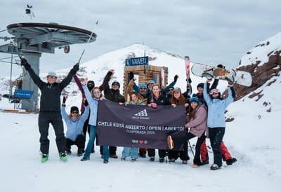
2022 has been a great season at Cardrona. All the lifts have been open on most of the days, and few bad weather days in the southern ski fields of NZ this season. The ski field is a great field for intermediate and beginner skiers. And then for those who like to play and do tricks there is the half pipe, the gravity cross course and board parks. As a careful skier, I am pleased I can watch others do these tricks, but they are not in my way at all.
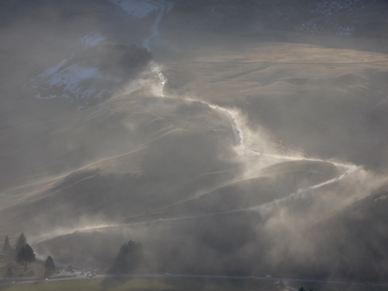
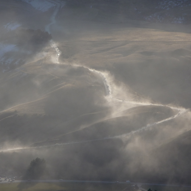
The field holds the snow.
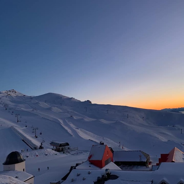
There is the area near base with the magic carpet, tunnel magic carpet, and then a gondola/or lift to allow you to progress as a learner. Then the other two lifts and whole other basin for the intermediate, skiers.
For the advanced skier, this year the Willow chair was open most days and here more advanced skiers can ski off-piste when conditions allow and have the luxury of few in the queue, the lift is slow, but then there is time for your legs to rest.
Yes, the queues can be long in the intermediate, beginner area in school holidays etc, but then where is it not?
The beauty of this field is the easiness of getting up there. Free buses up from one km up the access road running regularly till about 10, save petrol and your car. It drops you and your gear right at the base ticket office and back down buses running after 1.30. A variety of cafe's and more quiet menu areas to refresh or sit and look at the field.
Cardrona has a great adaptive ski program where persons living with a disability can join beforehand a program that enables them to ski.
This season has been great skiing and still is (open till 16th Oct)
2022 has been a great season at Cardrona. All the lifts have been open on most of the days, and few bad weather days in the southern ski fields of NZ this season. The ski field is a great field for intermediate and beginner skiers. And then for those who like to play and do tricks there is the half pipe, the gravity cross course and board parks. As a careful skier, I am pleased I can watch others do these tricks, but they are not in my way at all.
The field holds the snow.
There is the area near base with the magic carpet, tunnel magic carpet, and then a gondola/or lift to allow you to progress as a learner. Then the other two lifts and whole other basin for the intermediate, skiers.
For the advanced skier, this year the Willow chair was open most days and here more advanced skiers can ski off-piste when conditions allow and have the luxury of few in the queue, the lift is slow, but then there is time for your legs to rest.
Yes, the queues can be long in the intermediate, beginner area in school holidays etc, but then where is it not?
The beauty of this field is the easiness of getting up there. Free buses up from one km up the access road running regularly till about 10, save petrol and your car. It drops you and your gear right at the base ticket office and back down buses running after 1.30. A variety of cafe's and more quiet menu areas to refresh or sit and look at the field.
Cardrona has a great adaptive ski program where persons living with a disability can join beforehand a program that enables them to ski.
This season has been great skiing and still is (open till 16th Oct)
Free Snow-Forecast.com weather widget for your website
Embed the Cardrona weather widget on your site for free. It provides a weekly snapshot of snow and rain conditions across all elevations. Follow the two quick steps to grab your custom code and paste it into your site. Choose between metric or imperial units. Click here to get the code.


 Nearest