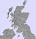
The above table gives the weather forecast for Cairngorm at the specific elevation of 549 m. Our sophisticated weather models allow us to provide snow forecasts for the top, middle and bottom ski stations of Cairngorm. To access the weather forecasts for the other elevations, use the tab navigation above the table. For a wider view of the weather, check out the Weather Map of United Kingdom.
Click here to read further information on freezing levels and how we forecast our temperatures.
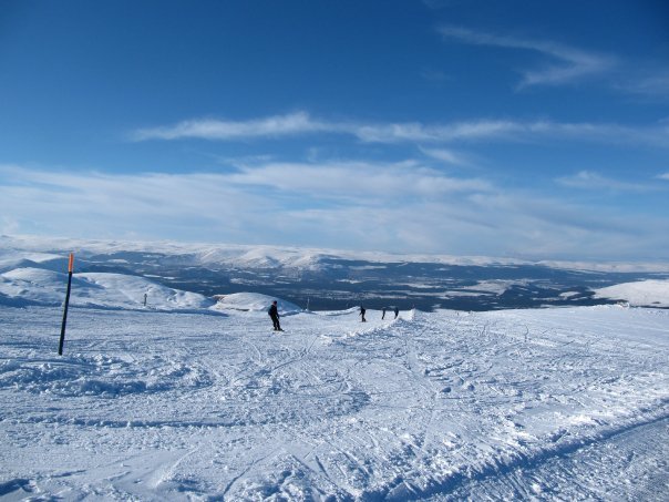
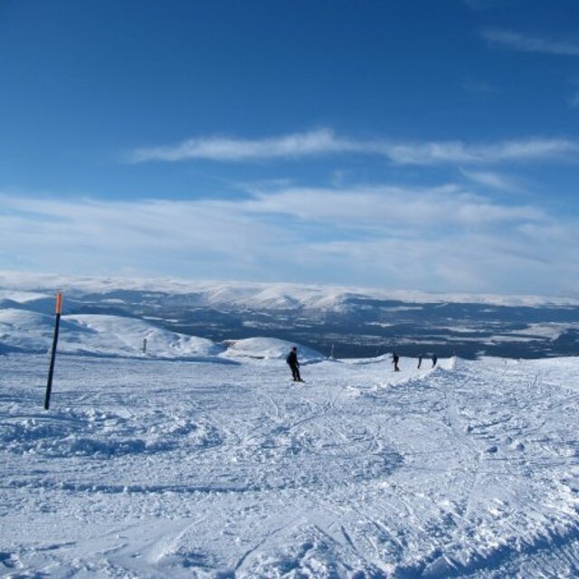
Would just like to say that the 2012/13 season is now open!
Was up on the opening weekend with the ski club and it was class. Bluebird conditions genuine powder and well groomed pistes. The new snow cannons are obviously doing their work. Please Cairngorm, work on getting a larger area open as the queues were quite bad (however, this is to be expected with great snow, brilliant weather and being the first weekend of the season).
If going to Cairngorm or any other of Scotland's 5 resorts then make sure to check the weather forecast and the snow conditions to stop you moaning on this site when you turn up out of the blue (or sleet) and don't have miles of alpine powder and sunshine.
Here is hoping that this season continues as it has begun.
Free Snow-Forecast.com weather widget for your website
Embed the Cairngorm weather widget on your site for free. It provides a weekly snapshot of snow and rain conditions across all elevations. Follow the two quick steps to grab your custom code and paste it into your site. Choose between metric or imperial units. Click here to get the code.


 Nearest