

Global Weekly Snow Roundup #320
Weekly Snow News for the world, updated 25 June 2026: Chile and New Zealand's seasons proper set to begin, Tignes and Sunshine reopen for summer skiing. weekend as Riksgransen ends its 2026 season.

Next 3 days weather summary:Heavy rain (total 76.0mm), heaviest during Sun afternoon. Very mild (max 12°C on Mon afternoon, min 5°C on Sun afternoon). Wind will be generally light. | Days 4-6 weather summary:Heavy rain (total 31.0mm), heaviest during Thu night. Very mild (max 13°C on Wed afternoon, min 5°C on Thu night). Wind will be generally light. | |||||||||||||||||
Sunday 28 | Monday 29 | Tuesday 30 | Wednesday 1 | Thursday 2 | Friday 3 | |||||||||||||
AM | PM | night | AM | PM | night | AM | PM | night | AM | PM | night | AM | PM | night | AM | PM | night | |
light rain | heavy rain | heavy rain | rain shwrs | rain shwrs | rain shwrs | rain shwrs | rain shwrs | light rain | rain shwrs | rain shwrs | rain shwrs | light rain | mod. rain | rain shwrs | rain shwrs | rain shwrs | rain shwrs | |
km/h | ||||||||||||||||||
Snow map | 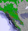 | 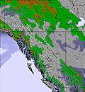 | 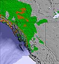 | 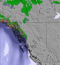 | 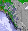 | 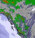 | ||||||||||||
— | — | — | — | — | — | — | — | — | — | — | — | — | — | — | — | — | — | |
mm | 3 | 22 | 32 | 5 | 2 | 3 | 1 | 4 | 4 | 2 | 2 | 3 | 3 | 6 | 5 | 1 | 6 | 3 |
max °C | 7 | 6 | 8 | 10 | 12 | 10 | 11 | 12 | 10 | 10 | 13 | 10 | 10 | 11 | 9 | 9 | 9 | 9 |
min °C | 7 | 5 | 5 | 8 | 12 | 8 | 9 | 12 | 8 | 8 | 12 | 7 | 9 | 11 | 5 | 7 | 9 | 5 |
chill °C | 5 | 2 | 2 | 5 | 10 | 7 | 9 | 12 | 7 | 8 | 11 | 6 | 9 | 11 | 4 | 6 | 9 | 3 |
Humid % | 88 | 95 | 97 | 98 | 60 | 82 | 73 | 73 | 93 | 87 | 53 | 82 | 77 | 67 | 87 | 80 | 69 | 84 |
Freeze m | 3100 | 3000 | 3450 | 3350 | 3550 | 3500 | 3450 | 3550 | 3450 | 3200 | 3650 | 3400 | 3200 | 3400 | 3200 | 3000 | 3150 | 3250 |
5:28 | — | — | 5:28 | — | — | 5:30 | — | — | 5:31 | — | — | 5:31 | — | — | 5:31 | — | — | |
— | — | 10:00 | — | — | 10:00 | — | — | 10:00 | — | — | 10:00 | — | — | 10:00 | — | — | 10:00 | |
Go pro and carve into:
Avalanche information: Avalanche Canada
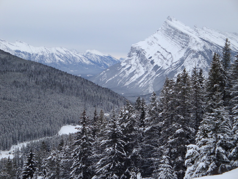
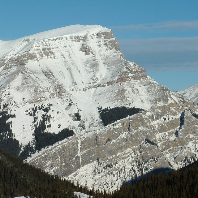
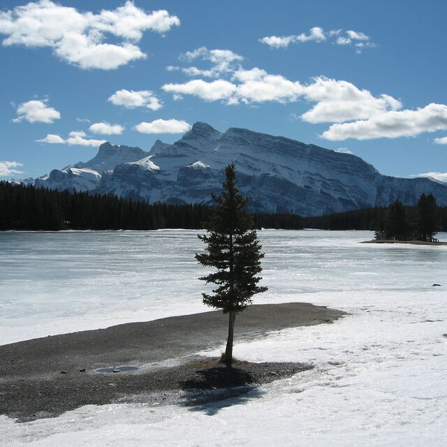
Latest snow reports near Banff Mt Norquay:
| Top snow depth: | 0 cm |
|---|---|
| Bottom snow depth: | 0 cm |
| Fresh snowfall depth: | — |
| Last snowfall: | 7 Jun 2026 |
| Snow Alerts | Create Alert |
0.0 | Bluebird Powder days Fresh snow, mostly sunny, light wind. |
|---|---|
0.0 | Powder days Fresh snow, limited sun, any wind. |
0.0 | Bluebird days Average snow, mostly sunny, light wind. |
The above table gives the weather forecast for Banff Mt Norquay at the specific elevation of 2042 m. Our sophisticated weather models allow us to provide snow forecasts for the top, middle and bottom ski stations of Banff Mt Norquay. To access the weather forecasts for the other elevations, use the tab navigation above the table. For a wider view of the weather, check out the Weather Map of Canada.
Click here to read further information on freezing levels and how we forecast our temperatures.
Resort name is also written as Banff Mount Norquay.
Overall 3.4 Based on 20 votes and 14 reviews
Icy and steep. Significant snowfall typically misses it completely. Go to Louise!
Jed from Canada writes:
Icy and steep. Significant snowfall typically misses it completely.
Go to Louise!


 Nearest