

Portillo Re-Opens To Guests Arriving By Helicopter
Chile’s famous Portillo ski resort is reported to have re-opened to guests arriving by helicopter after being cut off by road for more than two weeks by over 6m/20 feet of snowfall.

Next 4 days weather summary:Light rain (total 4.0mm), mostly falling on Sun night. Warm (max 24°C on Wed afternoon, min 6°C on Sun night). Wind will be generally light. | Days 5-7 weather summary:Light rain (total 3.0mm), mostly falling on Sat afternoon. Warm (max 26°C on Thu afternoon, min 8°C on Thu night). Wind will be generally light. | |||||||||||||||
Monday 3 | Tuesday 4 | Wednesday 5 | Thursday 6 | Friday 7 | ||||||||||||
night | AM | PM | night | AM | PM | night | AM | PM | night | AM | PM | night | AM | PM | night | |
light rain | some clouds | cloudy | some clouds | some clouds | some clouds | some clouds | some clouds | clear | clear | cloudy | some clouds | some clouds | some clouds | cloudy | some clouds | |
km/h | ||||||||||||||||
Snow map | 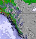 | 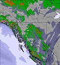 | 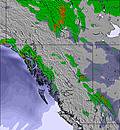 | 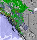 | 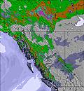 | 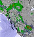 | ||||||||||
— | — | — | — | — | — | — | — | — | — | — | — | — | — | — | — | |
mm | 4 | — | — | — | — | — | — | — | — | — | — | — | — | — | — | — |
max °C | 11 | 15 | 18 | 12 | 19 | 21 | 16 | 22 | 24 | 19 | 23 | 26 | 16 | 24 | 26 | 17 |
min °C | 6 | 9 | 17 | 6 | 12 | 21 | 10 | 15 | 24 | 9 | 15 | 23 | 8 | 15 | 24 | 10 |
chill °C | 6 | 9 | 17 | 6 | 12 | 21 | 10 | 15 | 24 | 9 | 15 | 23 | 8 | 15 | 24 | 10 |
Humid % | 70 | 62 | 24 | 59 | 50 | 23 | 44 | 40 | 21 | 38 | 56 | 22 | 93 | 64 | 20 | 91 |
Freeze m | 2750 | 2650 | 3350 | 3300 | 3250 | 3850 | 3950 | 3900 | 4450 | 4450 | 4200 | 4450 | 4500 | 4450 | 4450 | 3850 |
— | 6:09 | — | — | 6:11 | — | — | 6:11 | — | — | 6:13 | — | — | 6:15 | — | — | |
— | — | — | 9:25 | — | — | 9:23 | — | — | 9:22 | — | — | 9:20 | — | — | 9:19 | |
Go pro and carve into:
Avalanche information: Avalanche Canada
Latest snow reports near Banff Mt Norquay:
| Top snow depth: | 0 cm |
|---|---|
| Bottom snow depth: | 0 cm |
| Fresh snowfall depth: | — |
| Last snowfall: | 7 Jun 2026 |
| Snow Alerts | Create Alert |
0.0 | Bluebird Powder days Fresh snow, mostly sunny, light wind. |
|---|---|
0.0 | Powder days Fresh snow, limited sun, any wind. |
0.0 | Bluebird days Average snow, mostly sunny, light wind. |
The above table gives the weather forecast for Banff Mt Norquay at the specific elevation of 1539 m. Our sophisticated weather models allow us to provide snow forecasts for the top, middle and bottom ski stations of Banff Mt Norquay. To access the weather forecasts for the other elevations, use the tab navigation above the table. For a wider view of the weather, check out the Weather Map of Canada.
Click here to read further information on freezing levels and how we forecast our temperatures.
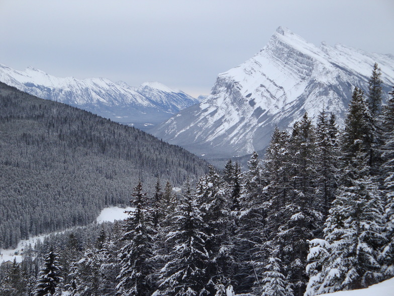
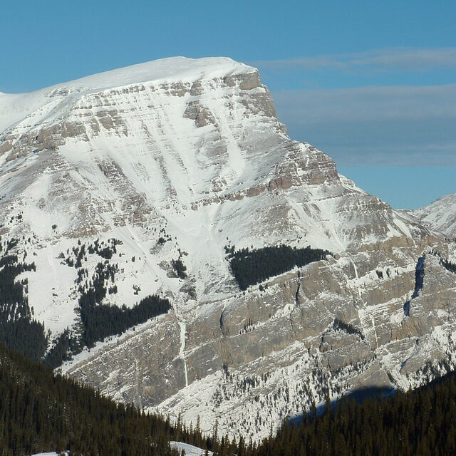
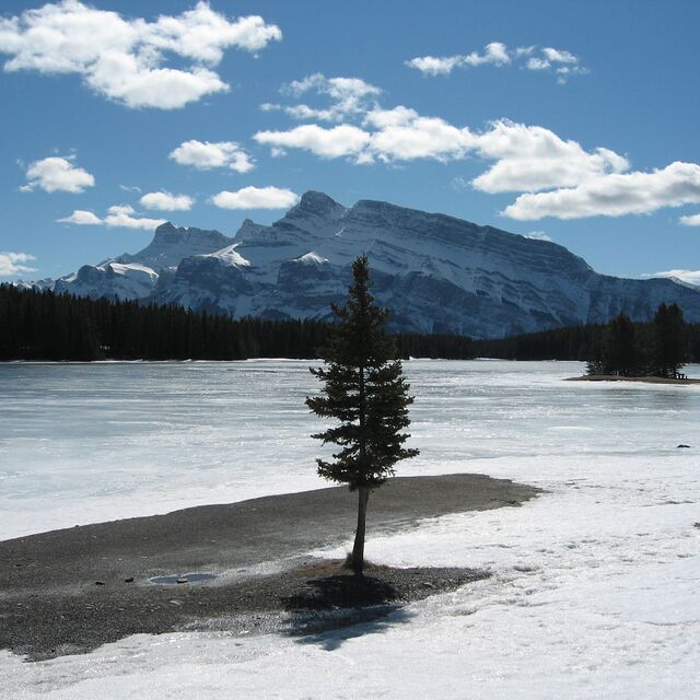
Resort name is also written as Banff Mount Norquay.
Overall 3.4 Based on 20 votes and 14 reviews
I love Mt. Norquay. It's close to Calgary, the views are stunning. On the way up you often see all kinds of animals, bears, mountain goats, deer, elk, its awesome. We got married there this summer and the staff were awesome, everything ran smooth and they were super accommodating. In the winter we always come to ski the north American chair and other parts, off-piste at times that are incredible. Small and homie like. No annoying folks, only real ski lovers. snow is often really good and the powder days have been just amazing!
Diego from Canada writes:
I love Mt. Norquay. It's close to Calgary, the views are stunning. On the way up you often see all kinds of animals, bears, mountain goats, deer, elk, its awesome. We got married there this summer and the staff were awesome, everything ran smooth and they were super accommodating. In the winter we always come to ski the north American chair and other parts, off-piste at times that are incredible. Small and homie like. No annoying folks, only real ski lovers. snow is often really good and the powder days have been just amazing!


 Nearest