

Portillo Re-Opens To Guests Arriving By Helicopter
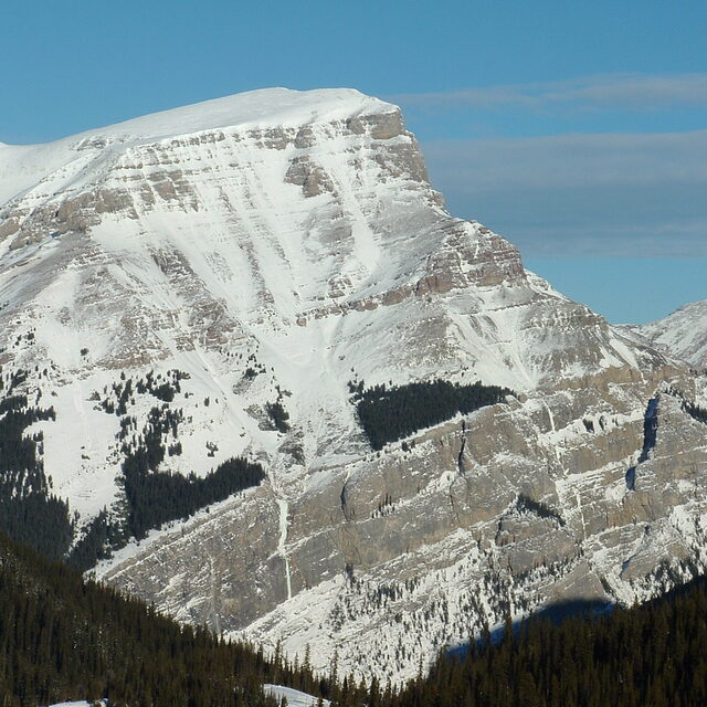
Chile’s famous Portillo ski resort is reported to have re-opened to guests arriving by helicopter after being cut off by road for more than two weeks by over 6m/20 feet of snowfall.

Next 4 days weather summary:Light rain (total 4.0mm), mostly falling on Sun night. Warm (max 22°C on Wed afternoon, min 5°C on Sun night). Wind will be generally light. | Days 5-7 weather summary:Light rain (total 3.0mm), mostly falling on Sat afternoon. Warm (max 23°C on Thu afternoon, min 10°C on Fri night). Wind will be generally light. | |||||||||||||||
Monday 3 | Tuesday 4 | Wednesday 5 | Thursday 6 | Friday 7 | ||||||||||||
night | AM | PM | night | AM | PM | night | AM | PM | night | AM | PM | night | AM | PM | night | |
light rain | some clouds | cloudy | some clouds | some clouds | some clouds | some clouds | some clouds | clear | clear | cloudy | some clouds | some clouds | some clouds | cloudy | some clouds | |
km/h | ||||||||||||||||
Snow map | 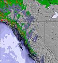 | 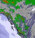 | 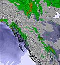 | 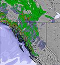 | 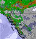 | 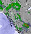 | ||||||||||
— | — | — | — | — | — | — | — | — | — | — | — | — | — | — | — | |
mm | 4 | — | — | — | — | — | — | — | — | — | — | — | — | — | — | — |
max °C | 10 | 11 | 14 | 10 | 14 | 18 | 16 | 18 | 22 | 19 | 19 | 23 | 16 | 20 | 23 | 17 |
min °C | 5 | 7 | 14 | 7 | 10 | 17 | 11 | 14 | 21 | 11 | 14 | 21 | 11 | 15 | 22 | 10 |
chill °C | 4 | 6 | 14 | 7 | 10 | 17 | 11 | 14 | 21 | 11 | 14 | 21 | 11 | 15 | 22 | 10 |
Humid % | 72 | 64 | 27 | 59 | 51 | 26 | 45 | 42 | 23 | 38 | 53 | 24 | 84 | 59 | 22 | 88 |
Freeze m | 2750 | 2650 | 3350 | 3300 | 3250 | 3850 | 3950 | 3900 | 4450 | 4450 | 4200 | 4450 | 4500 | 4450 | 4450 | 3850 |
— | 6:09 | — | — | 6:11 | — | — | 6:11 | — | — | 6:13 | — | — | 6:15 | — | — | |
— | — | — | 9:25 | — | — | 9:23 | — | — | 9:22 | — | — | 9:20 | — | — | 9:19 | |
Go pro and carve into:
Avalanche information: Avalanche Canada
Latest snow reports near Banff Mt Norquay:
| Top snow depth: | 0 cm |
|---|---|
| Bottom snow depth: | 0 cm |
| Fresh snowfall depth: | — |
| Last snowfall: | 7 Jun 2026 |
| Snow Alerts | Create Alert |
0.0 | Bluebird Powder days Fresh snow, mostly sunny, light wind. |
|---|---|
0.0 | Powder days Fresh snow, limited sun, any wind. |
0.0 | Bluebird days Average snow, mostly sunny, light wind. |
The above table gives the weather forecast for Banff Mt Norquay at the specific elevation of 1790 m. Our sophisticated weather models allow us to provide snow forecasts for the top, middle and bottom ski stations of Banff Mt Norquay. To access the weather forecasts for the other elevations, use the tab navigation above the table. For a wider view of the weather, check out the Weather Map of Canada.
Click here to read further information on freezing levels and how we forecast our temperatures.
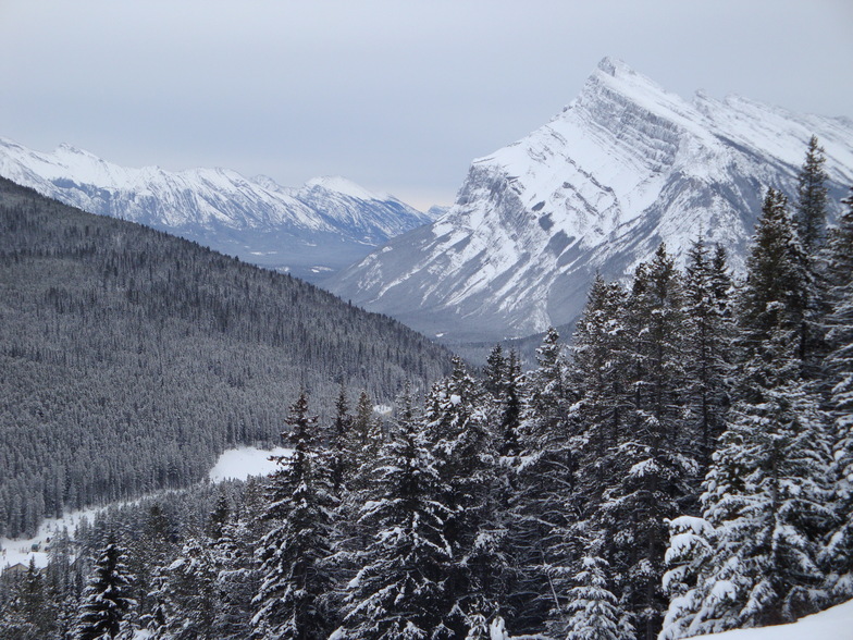
Resort name is also written as Banff Mount Norquay.
Overall 3.4 Based on 20 votes and 14 reviews
I heard a lot about Norquay being smaller than Louise or Sunshine. It's true, but no line-ups (even at Xmas) and a crazy 'tubing' faster than anywhere I know! Super staff, super groomed slopes and still crazy chutes if you can walk 5 min. On north east storms this is the place to be! They receive tonnes of snow from the north east. The lines are steep and no flats like Sunshine... Only 5 min from Banff. You can just go there for 1 or 2 hours on lunch brake or for a bit of park practice. Don t miss it!
Steve from France writes:
I heard a lot about Norquay being smaller than Louise or Sunshine. It's true, but no line-ups (even at Xmas) and a crazy 'tubing' faster than anywhere I know!
Super staff, super groomed slopes and still crazy chutes if you can walk 5 min.
On north east storms this is the place to be! They receive tonnes of snow from the north east.
The lines are steep and no flats like Sunshine...
Only 5 min from Banff. You can just go there for 1 or 2 hours on lunch brake or for a bit of park practice.
Don t miss it!


 Nearest