Issued by Snow-Forecast.com at:7 am (local time) / 31 Jul 2026
Last 6 daysScroll left for last 6 daysNow
Next 3 days weather summary:
Light rain (total 9.0mm), mostly falling on Sat night. Warm (max 24°C on Fri afternoon, min 15°C on Sat night). Winds decreasing (fresh winds from the SW on Fri night, calm by Sat night).
Days 4-6 weather summary:
Light rain (total 3.0mm), mostly falling on Tue night. Warm (max 25°C on Tue afternoon, min 18°C on Mon morning). Winds increasing (calm on Mon night, fresh winds from the WNW by Wed night).
The above table gives the weather forecast for Arber at the specific elevation of 1456 m. Our sophisticated weather models allow us to provide snow forecasts for the top, middle and bottom ski stations of Arber. To access the weather forecasts for the other elevations, use the tab navigation above the table. For a wider view of the weather, check out the Weather Map of Germany.
Click here to read further information on freezing levels and how we forecast our temperatures.
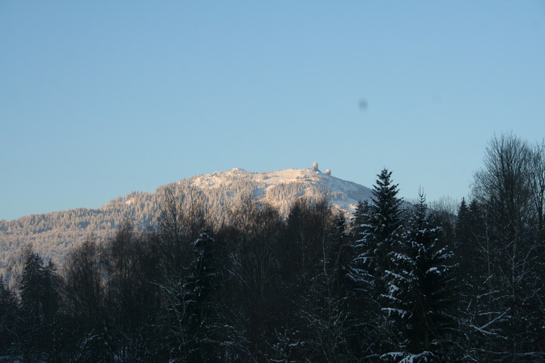
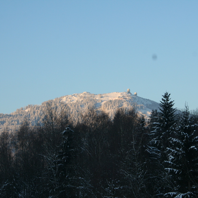
Arber is a smallish resort but the biggest in Germany outside the Alps. It has easy and difficult runs but go there low season to enjoy it because during high season it's extremely busy, especially when all the little ski areas in the region are shut due to lack of snow; queueing for 30 mins for 10 mins or less skiing is common. We've been twice,and experienced excellent snow conditions but you need patience waiting for uplift. The Arber is beautifully forested and the runs are scenic. Accommodation locally is excellent and good value with superb food. Arber is a great place to go for a couple of days but avoid busy periods.
Arber is a smallish resort but the biggest in Germany outside the Alps. It has easy and difficult runs but go there low season to enjoy it because during high season it's extremely busy, especially when all the little ski areas in the region are shut due to lack of snow; queueing for 30 mins for 10 mins or less skiing is common. We've been twice,and experienced excellent snow conditions but you need patience waiting for uplift. The Arber is beautifully forested and the runs are scenic. Accommodation locally is excellent and good value with superb food. Arber is a great place to go for a couple of days but avoid busy periods.
Free Snow-Forecast.com weather widget for your website
Embed the Arber weather widget on your site for free. It provides a weekly snapshot of snow and rain conditions across all elevations. Follow the two quick steps to grab your custom code and paste it into your site. Choose between metric or imperial units. Click here to get the code.


 Nearest