

A New Largest Ski Area in New Zealand?
The Remarkables is hoping to overtake Cardrona as New Zealand’s largest ski area under a major NZD 150 million‑plus expansion proposal lodged by owner NZSki.

Next 4 days weather summary:Mostly dry. Warm (max 25°C on Sat afternoon, min 19°C on Wed night). Wind will be generally light. | Days 5-7 weather summary:Heavy rain (total 24.0mm), heaviest during Mon night. Warm (max 26°C on Sun afternoon, min 16°C on Mon morning). Wind will be generally light. | |||||||||||||||
Thursday 25 | Friday 26 | Saturday 27 | Sunday 28 | Monday 29 | ||||||||||||
night | AM | PM | night | AM | PM | night | AM | PM | night | AM | PM | night | AM | PM | night | |
clear | clear | cloudy | clear | clear | clear | clear | clear | clear | clear | clear | clear | rain shwrs | light rain | t-storm risk | heavy rain | |
km/h | ||||||||||||||||
Snow map | 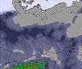 | 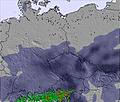 | 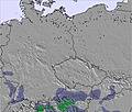 | 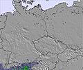 | 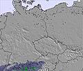 | 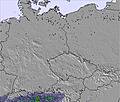 | ||||||||||
— | — | — | — | — | — | — | — | — | — | — | — | — | — | — | — | |
mm | — | — | — | — | — | — | — | — | — | — | — | — | 2 | 2 | 2 | 14 |
max °C | 21 | 20 | 22 | 22 | 21 | 24 | 23 | 22 | 25 | 24 | 23 | 26 | 24 | 17 | 17 | 17 |
min °C | 19 | 19 | 22 | 20 | 20 | 23 | 20 | 21 | 25 | 23 | 23 | 25 | 17 | 16 | 17 | 16 |
chill °C | 19 | 19 | 22 | 20 | 20 | 23 | 20 | 21 | 25 | 23 | 23 | 25 | 17 | 16 | 17 | 16 |
Humid % | 64 | 65 | 58 | 57 | 56 | 46 | 59 | 57 | 50 | 45 | 53 | 46 | 68 | 89 | 87 | 85 |
Freeze m | 4300 | 4300 | 4250 | 4500 | 4450 | 4400 | 4650 | 4650 | 4650 | 4650 | 4600 | 4650 | 4450 | 4250 | 4200 | 4050 |
— | 5:03 | — | — | 5:03 | — | — | 5:03 | — | — | 5:03 | — | — | 5:05 | — | — | |
— | — | — | 9:15 | — | — | 9:15 | — | — | 9:15 | — | — | 9:15 | — | — | 9:15 | |
Go pro and carve into:
Avalanche information: European Avalanche Warning Services (EAWS)
Latest snow reports near Arber:
| Top snow depth: | 0 cm |
|---|---|
| Bottom snow depth: | 0 cm |
| Fresh snowfall depth: | — |
| Last snowfall: | 15 May 2026 |
| Snow Alerts | Create Alert |
0.0 | Bluebird Powder days Fresh snow, mostly sunny, light wind. |
|---|---|
0.0 | Powder days Fresh snow, limited sun, any wind. |
0.0 | Bluebird days Average snow, mostly sunny, light wind. |
The above table gives the weather forecast for Arber at the specific elevation of 1253 m. Our sophisticated weather models allow us to provide snow forecasts for the top, middle and bottom ski stations of Arber. To access the weather forecasts for the other elevations, use the tab navigation above the table. For a wider view of the weather, check out the Weather Map of Germany.
Click here to read further information on freezing levels and how we forecast our temperatures.
Overall 3.4 Based on 11 votes and 1 review
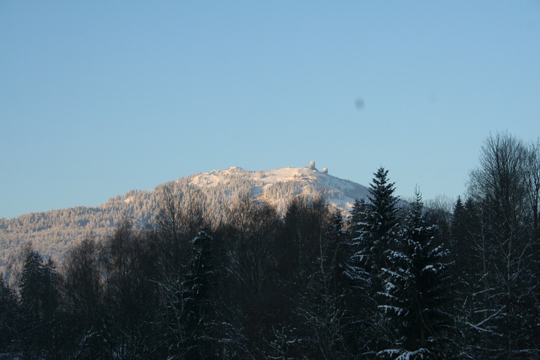
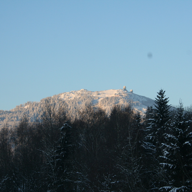
Arber is a smallish resort but the biggest in Germany outside the Alps. It has easy and difficult runs but go there low season to enjoy it because during high season it's extremely busy, especially when all the little ski areas in the region are shut due to lack of snow; queueing for 30 mins for 10 mins or less skiing is common. We've been twice,and experienced excellent snow conditions but you need patience waiting for uplift. The Arber is beautifully forested and the runs are scenic. Accommodation locally is excellent and good value with superb food. Arber is a great place to go for a couple of days but avoid busy periods.
Roger Pitman from United Kingdom writes:
Arber is a smallish resort but the biggest in Germany outside the Alps. It has easy and difficult runs but go there low season to enjoy it because during high season it's extremely busy, especially when all the little ski areas in the region are shut due to lack of snow; queueing for 30 mins for 10 mins or less skiing is common. We've been twice,and experienced excellent snow conditions but you need patience waiting for uplift. The Arber is beautifully forested and the runs are scenic. Accommodation locally is excellent and good value with superb food. Arber is a great place to go for a couple of days but avoid busy periods.


 Nearest