The above table gives the weather forecast for Andermatt at the specific elevation of 1436 m. Our sophisticated weather models allow us to provide snow forecasts for the top, middle and bottom ski stations of Andermatt. To access the weather forecasts for the other elevations, use the tab navigation above the table. For a wider view of the weather, check out the Weather Map of Switzerland.
Click here to read further information on freezing levels and how we forecast our temperatures.
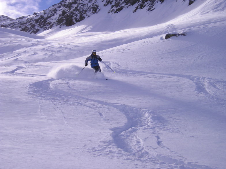
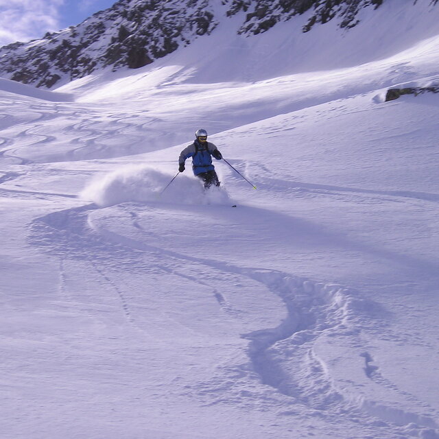
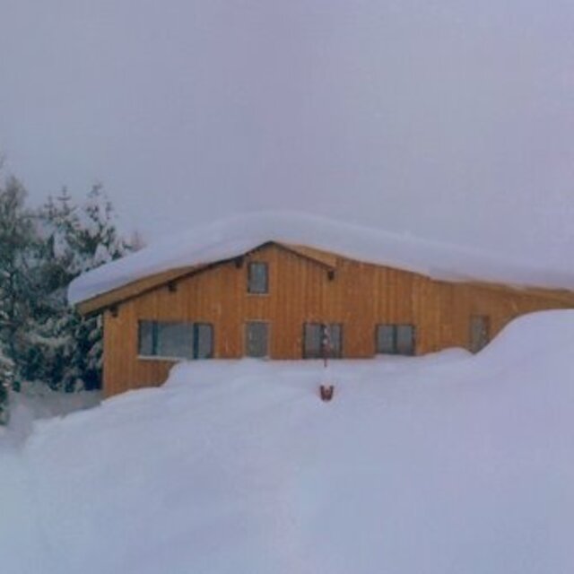
I went to Andermatt late March/early April and skied mainly on Gemsstock and while the runs may not be as maintained as some of the larger European/American resorts, I had a great time. When we arrived there was about 6m of snow at mid-mountain and 2m at base. Over the 10 days we were there around 1.6m of snow fell and it was an incredible experience with all the fresh snow in the steep couloirs. The snow never seemed to get tracked out and there were absolutely no lift lines. Will definitely be coming back.
I went to Andermatt late March/early April and skied mainly on Gemsstock and while the runs may not be as maintained as some of the larger European/American resorts, I had a great time. When we arrived there was about 6m of snow at mid-mountain and 2m at base. Over the 10 days we were there around 1.6m of snow fell and it was an incredible experience with all the fresh snow in the steep couloirs. The snow never seemed to get tracked out and there were absolutely no lift lines. Will definitely be coming back.
Free Snow-Forecast.com weather widget for your website
Embed the Andermatt weather widget on your site for free. It provides a weekly snapshot of snow and rain conditions across all elevations. Follow the two quick steps to grab your custom code and paste it into your site. Choose between metric or imperial units. Click here to get the code.


 Nearest