Southern Hemisphere Weekly Snow Roundup #320
Weekly Snow News for the Southern Hemisphere, updated 25 June 2026: Chile's ski season gets underway and New Zealand is finally getting snowfall but Australian resorts still struggling with mild, dry weather.
- Snow falling in New Zealand at last as we publish this report.
- Chile’s first ski areas open for the season.
- Australian resorts continue to battle mild, dry conditions, but some positive signs.
- More ski areas in the Andes plan to start seasons this weekend.
Though we hate to say it, it's really not been a great first month of winter in almost any Southern hemisphere ski region. It's been quite a few years since we've had to report ski areas in Argentina, Australia, Chile and New Zealand, all struggling to open. Lack of consistent cold temperatures to allow for snowmaking to be effective, and either dry weather or precipitation coming as rain rather than snow due to the mild temperatures, have all been negative factors.
We've seen delayed openings everywhere, the few that have opened only being able to offer less than a kilometre/mile of terrain and some centres forced to close again after managing an initial opening. Several of the handful of centres that are open. especially those in New Zealand and Australia, are only able to do so thanks to investment in all-weather snowmaking machines. The only place where the start of winter looks to have been fairly normal is Lesotho's Afriski in southern Africa.
This weekend, the last in June, is looking like crunch time. The good news for the Andes and New Zealand in particular is that we have had more wintry weather since last weekend, and resorts have been snowmaking whenever they can. Most that hope to open this weekend are warning not to expect much will be open initially, though.
Australia Report
Unfortunately, Australia’s season start has had little improvement on last week, when most centres closed due to the mild temperatures melting much of what snow cover they had. It's been a mostly dry, sunny week since, with overnight lows on high terrain just about cold enough for snowmaking on higher slopes, but daytime highs still reaching double-figures above freezing, meaning the thaw continues. Thredbo (15/15cm / 6/6") and Mt Buller (20/60cm / 8/24") have each managed to keep a few hundred metres of slopes open thanks to their all-weather snowmaking, and although official pics have been carefully posed, unofficial shots have shown narrow ribbons of snow crowded with skiers and riders. Perisher (0/5cm / 0/2"), which lacks all-weather snowmaking, has just about managed to keep a short, narrow slope open so far. Falls Creek, one of the centres that initially opened but was forced to close again, has reported light overnight dusting and snow guns firing with temps dropping to -2.8 degrees overnight.
“Our snowmaking team will be making snow at every opportunity, and we’ll be keeping a close eye on conditions to open for skiing and boarding as soon as we are able to!” said Betony Pitcher, Brand + Experience Manager for Falls Creek.
Australia Forecast
Little change in the forecast with dry, cool conditions dominating, with summit temperatures mostly around –4°C to –1°C and bases near –2°C overnight to +10°C in the afternoon. Light snow showers are possible on Thursday and Friday with snow levels near 1500 m and only a dusting expected. Saturday looks calmer and mostly dry before cloud thickens on Sunday, bringing late rain and marginal snow above 1700 m. More precipitation is forecast for next week, but it may be rain on lower slopes and brief snow confined to the highest peaks. But the forecast that far out remains fluid.
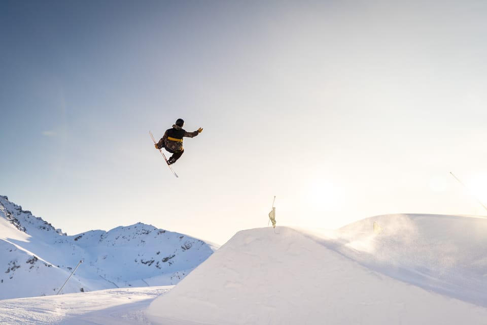
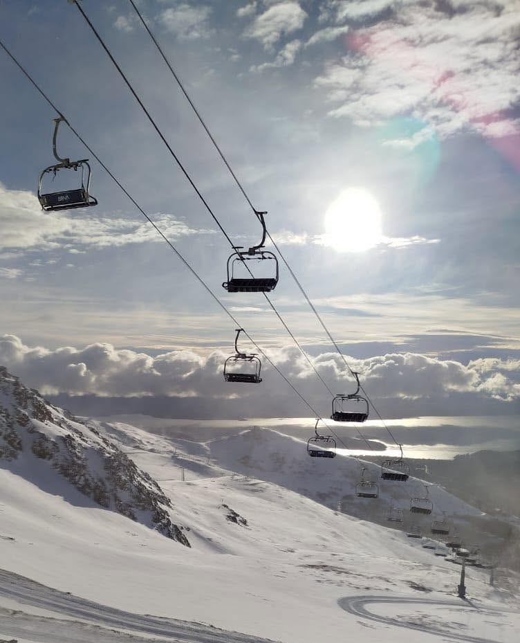
New Zealand Report
New Zealand's forecast gale-force winds and torrential rain hit over the weekend, impacting the thin upper-mountain snow cover that ski areas had been able to create alongside a bit of natural snowfall last week. Those forecast conditions had already caused ski areas to delay opening for a second time. But things did start to look up from Monday, as the weather turned back to more wintry with snowfall arriving on Wednesday. Cardrona announced Sunday that they hope to open limited terrain from this Friday, but as with other NZ areas that's not yet confirmed.
"The system that moved through this week delivered exactly what was forecast: warmer temperatures and rain instead of snow. As a result, we're now doing everything we can to open Cardrona on Friday, 26 June. Between now and then, our teams will be making the most of every snowmaking window they can get while keeping a close eye on temperatures and the natural snowfall expected this week. When we do open, it is likely to be focused on learner slope initially," a spokesperson said.
Things remain uncertain, though, with ski areas that hadn't planned to start their seasons until this weekend, including Treble Cone, announcing they're delaying. By Thursday evening snow had been falling and temperatures were snowmaking friendly. Coronet Peak, which already had a little terrain open thanks to it’s all-weather snowmaking machine, reported 12cm (5”) at the tim, we publish this report with snow still falling.
“After around 12 hours of snow overnight we have received around 12+ centimetres of snow at the base. It’s continuing to fall steadily too how good. Along with this we have been running snowmaking all night, and then will ramp it up even more after the natural snow finishes too. This is looking much better, updates around chairlift skiing action are being decided throughout today,” a Coronet Peak spokesperson said.
New Zealand Forecast
A colder, more unsettled spell develops across New Zealand’s ski fields from Thursday, with upper‑mountain temperatures generally between –6 °C and –2 °C and bases near –3 °C to +2 °C. Periods of snow are likely in the Southern Alps late Thursday into Friday, with several centimetres possible at Mt Hutt, Porters and higher Canterbury fields. The central North Island (Whakapapa, Turoa) trends windier with light snow or sleet at times and heavier falls possible over a three‑day window.
Argentina Report
As with the rest of the southern hemisphere, Argentina’s season has rather stalled to date, with most centres delaying opening. Only Cerro Bayo (10/30cm / 4/12”) has opened so far, with just a small amount of terrain skiable; everywhere else says that it will be this coming weekend for them. The good news is that the past week has seen consistently low temperatures for snowmaking and light to moderate snowfall, bringing 25-50cm (10-20”) accumulations, typically, across ski slopes. So hopefully this weekend will finally see things starting properly. Most resorts do currently appear to be opening on Friday or Saturday. Only Las Leñas looks like it won't be opening until July unless there's a sudden change.
Argentina Forecast
A colder pattern settles over Argentina’s ski regions from Thursday too, with upper‑mountain temperatures typically between –8 °C and –3 °C and bases near –4 °C to +2 °C. Light snow is possible late Thursday into Friday across Patagonia, with small accumulations favoured at Cerro Catedral, Chapelco and Caviahue. Las Leñas stays mostly dry but cold, with occasional flurries. Cerro Castor trends wintry with sub‑zero highs and periodic light snow. The weekend remains chilly, mostly dry, with isolated flurries lingering.
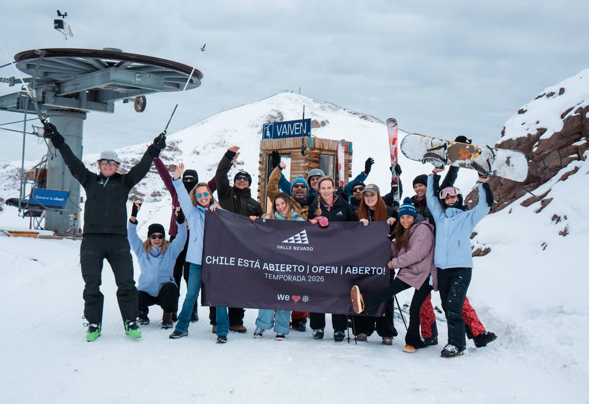
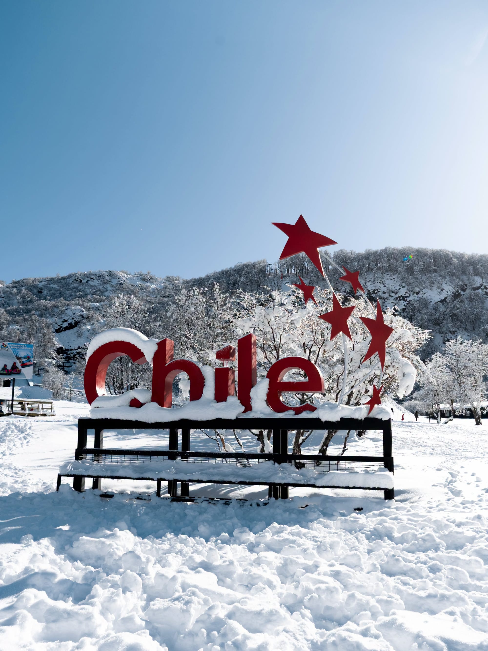
Chile Report
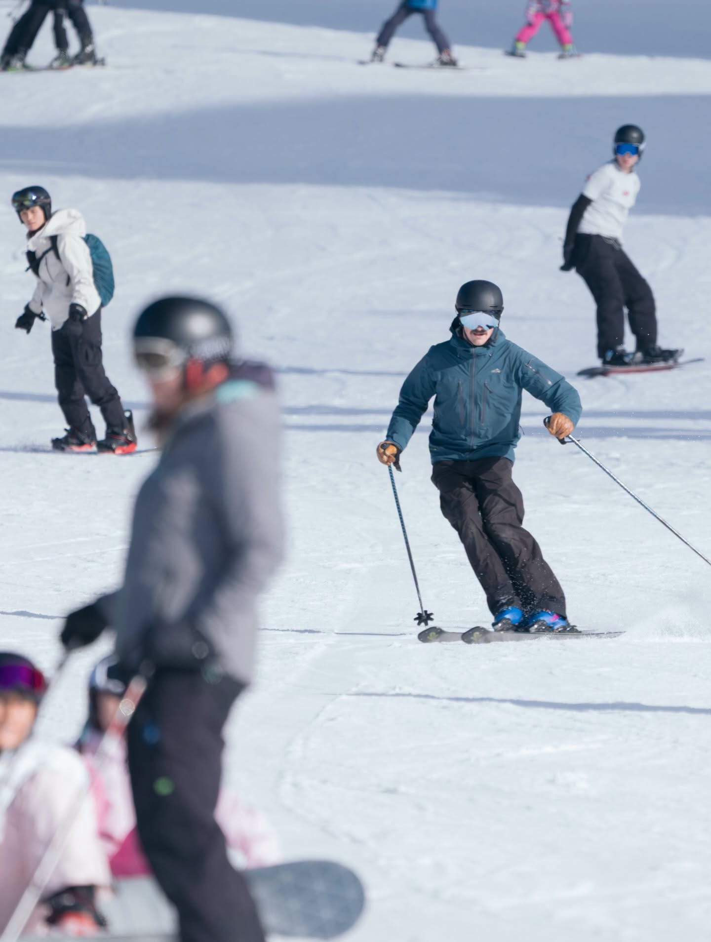
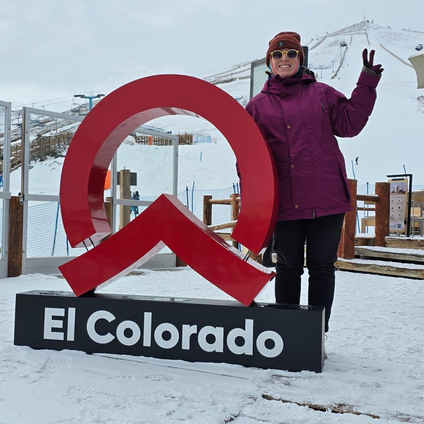
Alas, Chile became the latest southern hemisphere country to announce that the start of its 2026 season wasn't looking quite right, as Portillo announced its decision to delay opening by a week just before its expected opening day last Saturday. That was after it had reported a 45cm (22") snowfall earlier last week, along with low snowmaking-friendly temperatures. Its move was mirrored by most other Chilean ski areas, but Corralco announced Monday that it would have a limited opening from Tuesday. It joined Valle Nevado (10/30cm / 4/12"), which did manage to open last weekend, albeit also with very limited terrain, just a few hundred metres of slopes on a thin base. Most of the rest, like Portillo, now plan to open from next weekend, and did report some low temperatures and fresh snowfall this week, so things may finally be moving in the right direction. El Colorado (pictured below earlier this week) say they’ll have some terrain open this weekend despite limited natural snow so far,
“Thanks to the tremendous effort, commitment and 24/7 work of our entire mountain team, we have managed to condition close to 2 kilometres of slopes so that you again feel the adrenaline and the perfect white of the mountain range,” a spokesperson said
Chile Forecast
Settled, mostly dry conditions dominate Chile's central‑Andes ski areas from Thursday, with upper‑mountain temperatures around –6 °C to –2 °C and bases near –3 °C to +4 °C. Models show little to no new snowfall for Valle Nevado, La Parva, El Colorado and Portillo, with only isolated flurries possible at high elevations. Further south, Nevados de Chillán and Corralco stay cold but similarly dry, with just light, patchy snow in some model runs. Surfaces remain firm with overnight freezes.
Southern Africa Report
Lesotho’s Afriski (20/40cm / 8/16”) appears to be the only area having a pretty normal early winter with its usual, mostly dry early‑winter pattern, with summit temperatures fluctuating between –7 °C and +10 °C and the base ranging from –5 °C to +12 °C. Perhaps the daytime highs are a little warmer than usual. Sunshine dominated, varying from 4 to 9 hours. Light snowfall continues to be a possibility, but when it comes, it's just a few centimetres (an inch or so). Winds have been mostly ENE and WNW, occasionally gusting above 40–70 km/h, keeping surfaces firm and supporting overnight refreezing.
Southern Africa Forecast
Conditions at Afriski are expected to turn colder from Thursday as a high‑pressure ridge settles in, keeping skies mostly clear and temperatures firmly wintry. Expect –6 °C to –2 °C on the upper slopes and –4 °C to +3 °C at base level. Nights freeze hard, supporting snowmaking whenever humidity allows. A weak disturbance late Friday may bring brief flurries, but no significant natural snowfall is indicated. The weekend stays dry, bright and cold with firm early‑morning surfaces.