Wintry Weather Lingers in Australia and New Zealand as August Nears End
Updated August 27, 2025: Australia forecast a foot (30cm) of snow, Argentina looks forward to a possible 15" (42cm), and New Zealand holds the deepest base worldwide - spring still feels far away! Read the full report here.
- Wintry Conditions Persist Across Andes, Australia and New Zealand
- Australia Set for Up to 30cm of Fresh Snow With Thundersnow Possible
- New Zealand Holds Deepest Snowpack in Southern Hemisphere at Mt Hutt
- Argentina and Chile Expect Fresh Snow After Mostly Dry Week
- Lesotho’s Afriski Prepares for Winterfest as Season Nears End
SOUTHERN HEMISPHERE INTRO
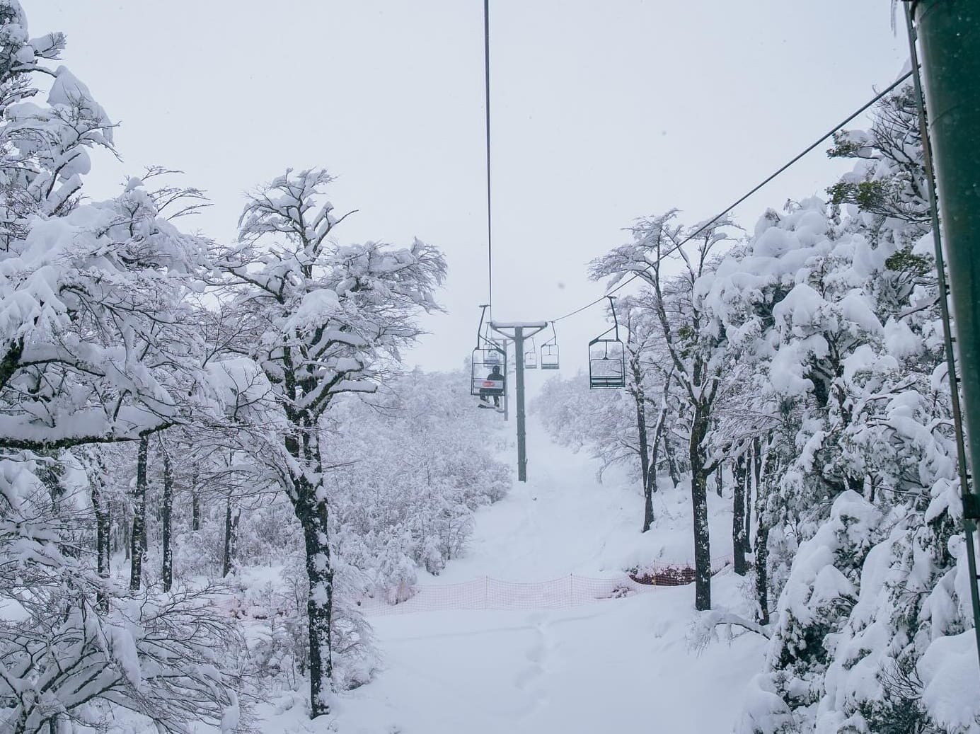
We’re less than a fortnight from the start of spring (by the meteorological measure of the seasons), but conditions have remained wintry in the Andes, Australia, and New Zealand over the past week. Only Lesotho, which enters the final week of its 2025 season next weekend, is beginning to warm up slightly. Lows down to –10°C have been reported in New Zealand, and it has been well below freezing in Argentina, Australia, and Chile too. Each ski nation has seen periods of light to moderate fresh snowfalls, though nothing major to report this week. There have also been plenty of sunny spells to enjoy the snow.
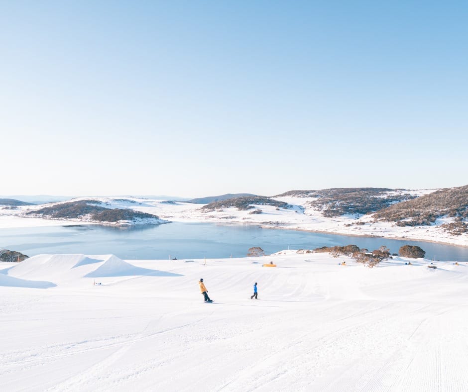
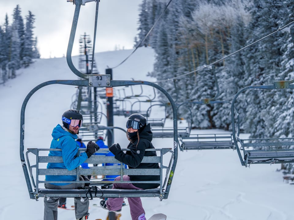
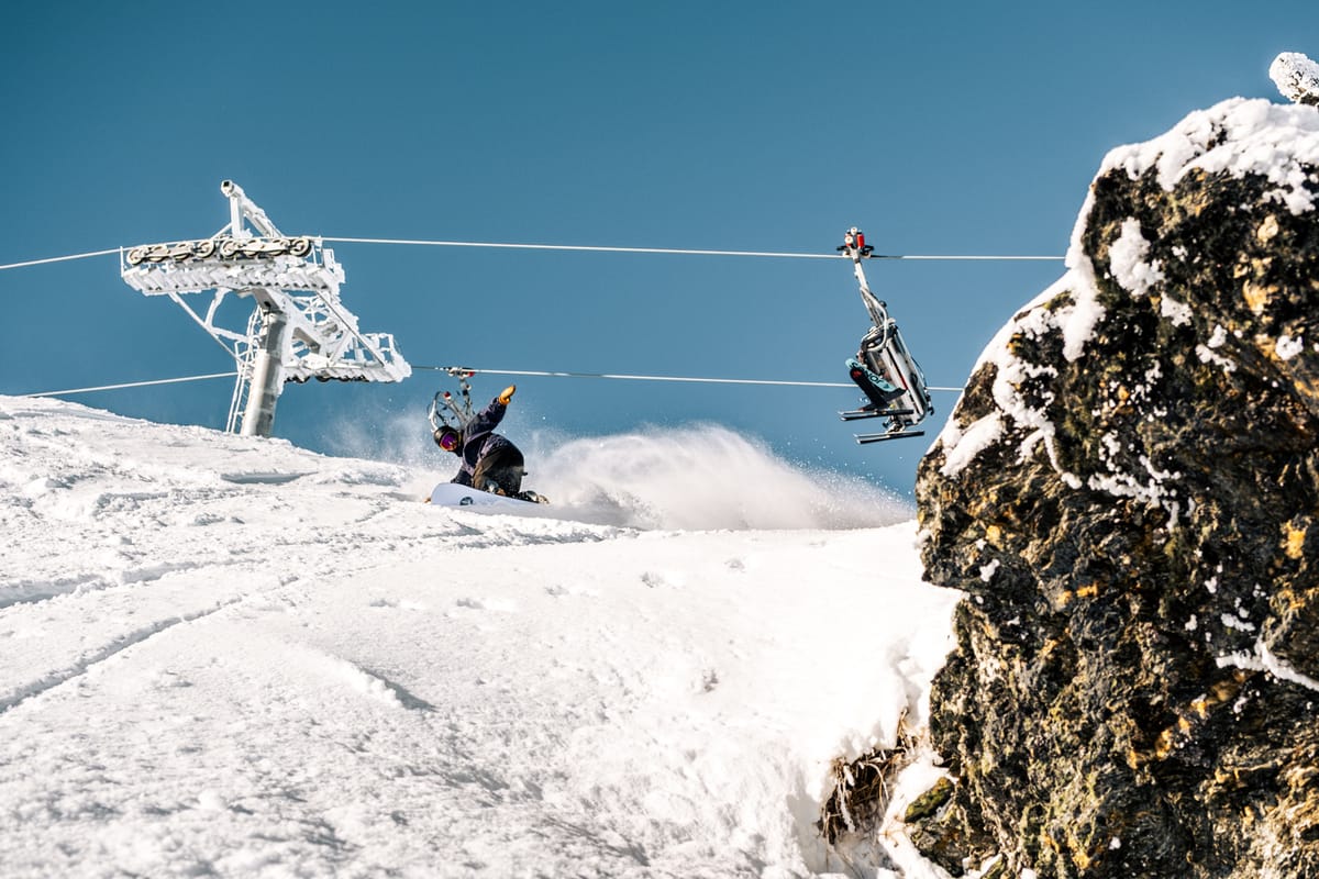
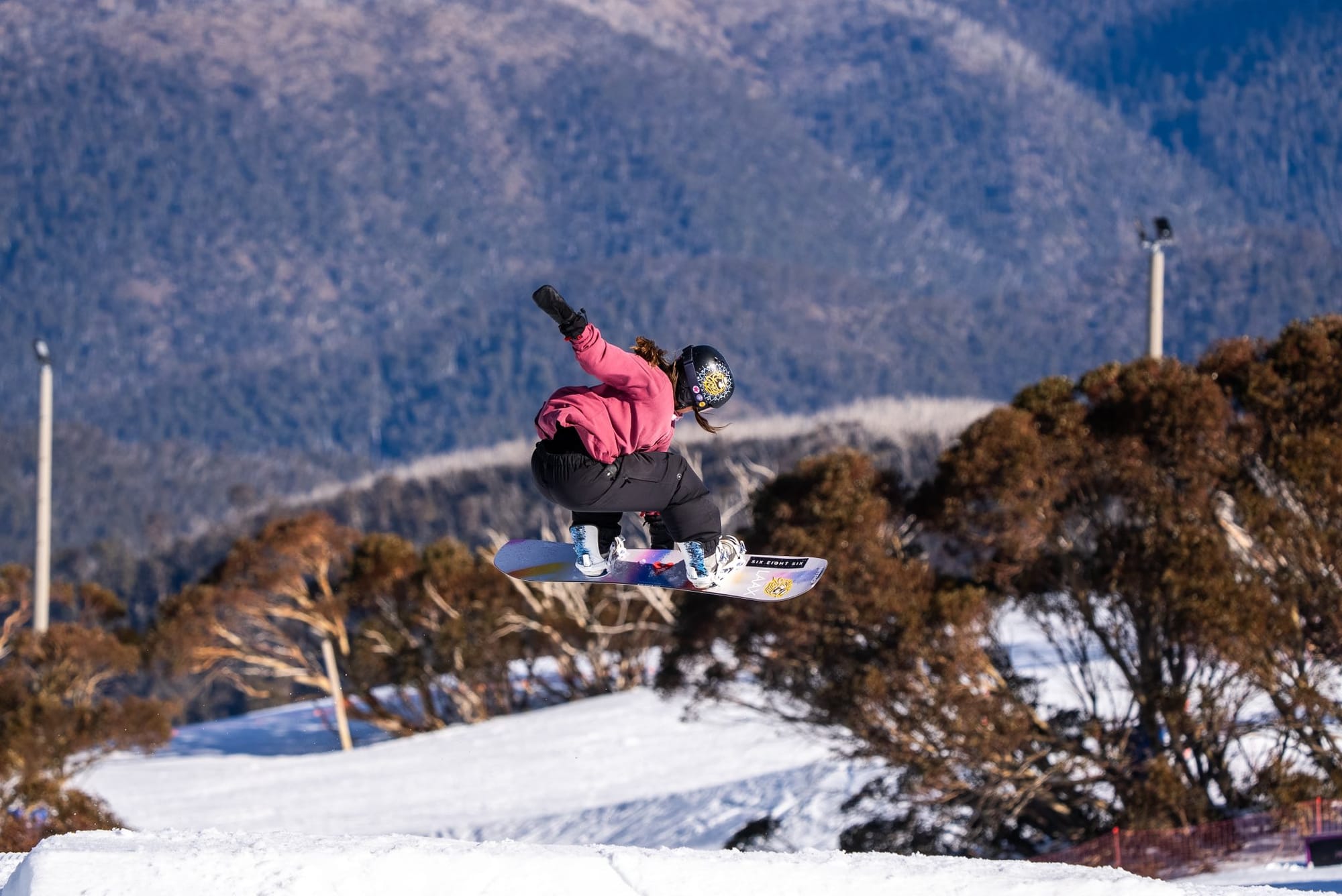
AUSTRALIA REPORT
Australia saw a break in its recent dry spell over the weekend, with 10–20cm (4–8”) of fresh snow across ski fields. Otherwise, apart from some days of low cloud and limited visibility, conditions have been mostly sunny. Overnight lows have dropped to the low single figures, with daytime highs climbing into the high single digits. The fresh snow arrived just in time for weekend powder skiing. Conditions remain good nationwide, with most ski areas reporting bases over a metre (40”) and the majority of their slopes and lifts open. Perisher (100/160cm / 40/64") has the deepest base in the country (and one of the three deepest worldwide), as well as the most terrain open, with 60km (37 miles) — about 95% of its slopes. That’s currently the most terrain open at a single ski area worldwide, although Chile’s linked Tres Valles area offers nearly double that combined. Thredbo (70/125cm / 28/50") has the second-deepest snowpack and is 90% open, while Hotham (58/117cm / 23/47") and Falls Creek (64/110cm / 26/44") are each 95% open or more.
“The flakes were coming down,” said Sarah Gamon, Falls Creek’s Field Marketing Coordinator, on Sunday, after the resort received 14cm (6") of fresh snow. “It might be a chilly morning in the city, but we’re loving it up on the mountain and looking forward to some beautiful spring riding in the coming weeks!”
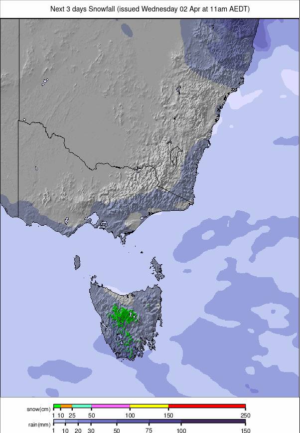
AUSTRALIA FORECAST
Heavy snowfall is expected midweek into the weekend, especially across the NSW and Victorian Alps. Up to 30cm (a foot) is forecast by the weekend, with thundersnow (snow with thunderstorms) possible in alpine regions. Snow levels may drop to 700m, potentially dusting areas such as the Blue Mountains.
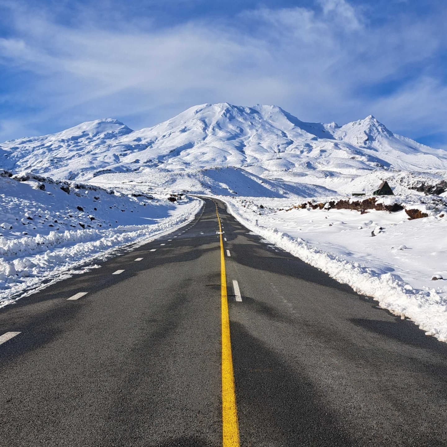
NEW ZEALAND REPORT
Cold weather and some snowfall started the week in New Zealand, with the snowline dropping to 200m on the South Island and around 700m on the North. The Remarkables reported 20cm (8”) of fresh snow by Wednesday morning. At ski field level, temperatures have mostly stayed below freezing, reaching as low as –10°C overnight, with daytime highs only slightly above freezing. Mt Hutt (130/165cm / 52/66”) continues to hold the country’s — and the Southern Hemisphere’s — deepest snowpack, with more than 95% of its terrain open. Most South Island areas report 80–90% of terrain open, while Treble Cone (42/82cm / 17/33") and Mt Dobson (55/65cm / 22/26") are among the few resorts worldwide operating at 100%. On the North Island, snowfall has been limited this season. Whakapapa (35/40cm / 14/16") on Mt Ruapehu announced that its key Valley T-Bar opened over the weekend, boosting open terrain from under 10% to nearly 40%, though cover remains thin and best suited to advanced skiers. Neighbouring Turoa is also about a third open, its highest so far this season.
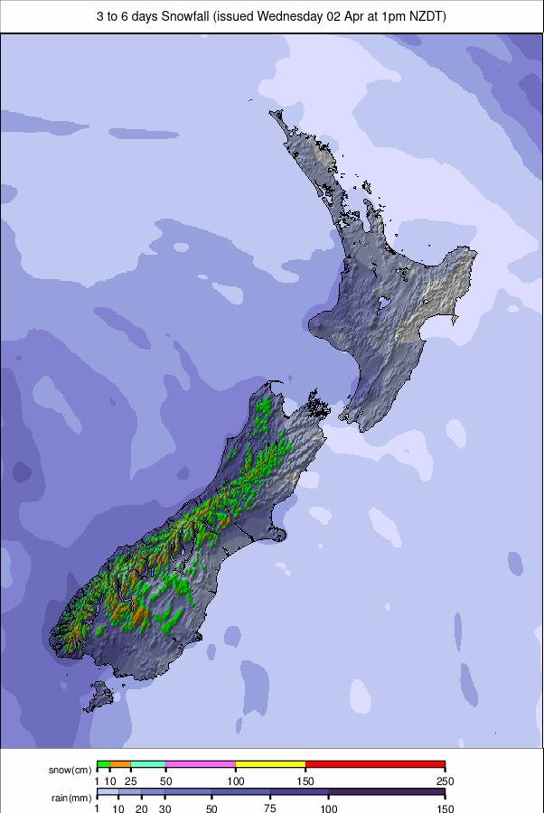
NEW ZEALAND FORECAST
Drier conditions are expected later this week. Strong cold southerlies will sweep across the country on Wednesday, reinforcing wintry conditions. By Thursday, a high-pressure ridge should settle over the South Island while cold southerlies linger on the North Island. High pressure will drift east by Friday, bringing settled weather. Fresh snowfall potential looks limited, with cold air likely to preserve existing cover rather than add to it.
ARGENTINA REPORT
Sunny weather dominated much of the past week in Argentina, limiting improvements in conditions. The best snow remains in the far south, where Cerro Castor (65/100cm / 26/40") has both the deepest base in the country and the highest proportion of open terrain, with more than 80% of runs available. By contrast, South America’s largest resort, Cerro Catedral (15/30cm / 6/12") near Bariloche, continues to report less than 10% of its slopes open. A recent front has brought some fresh snow, though it may be too little, too late. Elsewhere, most Argentinian resorts still have less than half their terrain open. Notable exceptions include Cerro Bayo (0/15cm / 0/6”), which claims nearly 75% open despite its thin base, and Las Leñas (40/65cm / 16/26”), famous for epic powder in good years, which is now close to 50% open.
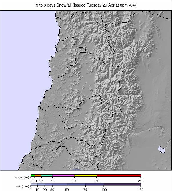
ARGENTINA FORECAST
Much-needed snowfall is expected later this week, particularly in Las Leñas, Catedral Alta Patagonia, and Los Penitentes. Las Leñas may receive up to 42cm (15”), while other major resorts are forecast 15–24cm (6–10”). Snowfall should ease slightly by the weekend but remain steady at higher elevations. A cold air mass will settle over Patagonia, with mountain temperatures ranging from –9°C to +4°C depending on elevation.
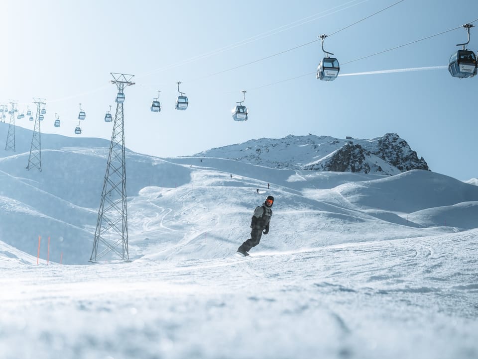
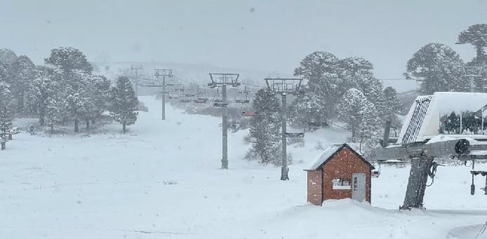
CHILE REPORT
Chile had a mostly dry and sunny week, with only light flurries reported. As the season enters its final month, snowfall and base depths remain below average, but most resorts still have the majority of their terrain open — a brighter outlook than in Argentina. Temperatures have been cold, down to –10°C, with highs only a few degrees above freezing. Portillo (50/160cm / 20/64”) has Chile and South America’s deepest base, with over 90% of terrain open. The Tres Valles resorts are about 90% open, offering around 110km (70 miles) combined. Valle Nevado (20/100cm / 8/40") is among the few resorts worldwide fully open, along with La Parva (35/125cm / 14/50") and El Colorado (30/125cm / 12/50"). However, some areas remain only half open or less, such as Antillanca (5/65cm / 2/26"), which recently had to postpone a freeride competition due to insufficient snow.
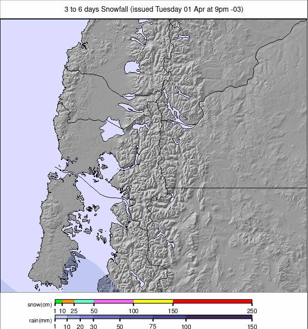
CHILE FORECAST
Cold alpine conditions will persist, with summit temperatures ranging from –12°C to –4°C across resorts including Valle Nevado, La Parva, and Portillo. Fresh snowfall is expected midweek into the weekend, with Pucon forecast up to 31cm (12”). El Colorado, Valle Nevado, and Termas de Chillán should receive 12–17cm (5–7”), with lighter totals at Portillo and La Parva. Snowfall will taper by the weekend, while daytime highs of 1–6°C will aid snow retention and snowmaking. Freeze–thaw cycles at lower elevations may affect snow quality.
LESOTHO REPORT
Lesotho enters the final week of Southern Africa’s 2025 ski season with Afriski (20/40cm / 8/16”) focused on its Winterfest celebrations next weekend. The resort’s 1.6km (1 mile) main run is believed to remain intact despite sunny weather and rising temperatures. Overnight lows are just touching freezing, with daytime highs above +10°C.
LESOTHO FORECAST
Afriski should stay mostly dry from 20–24 August, with no significant snowfall expected. Temperatures will range from 1°C to 20°C, with freezing levels well above summit height. Winds are set to increase midweek, but no new accumulation is forecast, and snow depths remain modest.