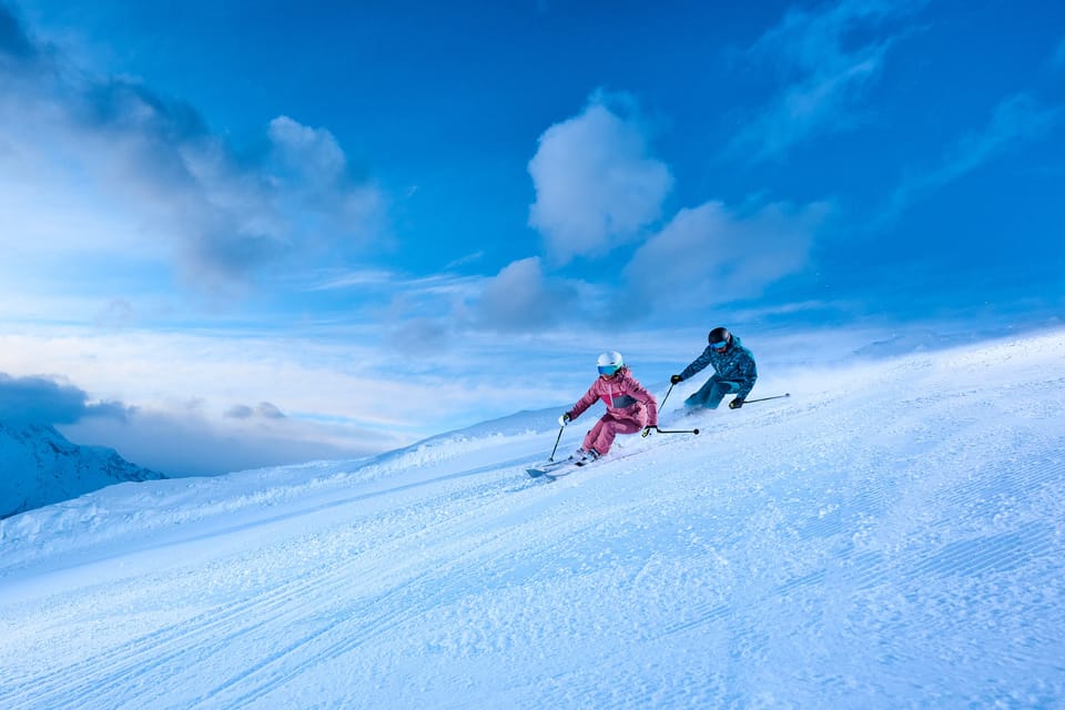
Chile, Argentina, and Australia Hit 80–100% Operations
Updated July 23, 2025: Australia nears full capacity, Chile eyes 24” of fresh snow, and New Zealand’s South Island leads with world’s deepest base—read the full global snow update here.
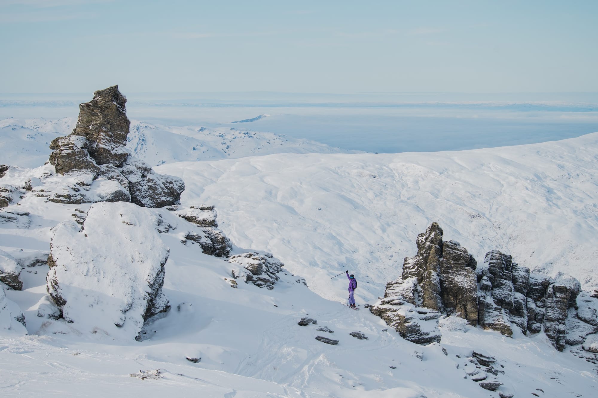
- Mt Hutt Boasts Southern Hemisphere’s Deepest Snow at 155cm
- Fresh Blizzards Forecast: Up to 60cm Snow Headed for Chile and Argentina
- Australia’s Resorts Near Full Capacity as Snow Returns Midweek
- Lesotho’s Afriski Marks 25 Years With Snowy Forecast Ahead
SOUTHERN HEMISPHERE INTRO
Although we’re fast approaching the midway point of the season for many ski areas in South America, Southern Africa, Australia and New Zealand, what’s actually open for skiers continues to build. For most ski areas in Chile, Australia, New Zealand's South Island and Lesotho in South Africa, we're now close to full operations—most at 80–95%—though only a few have hit the magic 100% open. It's less good news for Argentinian ski areas and those on New Zealand's North Island, which mostly have only limited terrain open still, needing more snowfall. There's been plenty of sunshine for most ski areas this week, but also some significant snowfalls—at times, even a few flakes falling on high slopes in Southern Africa.
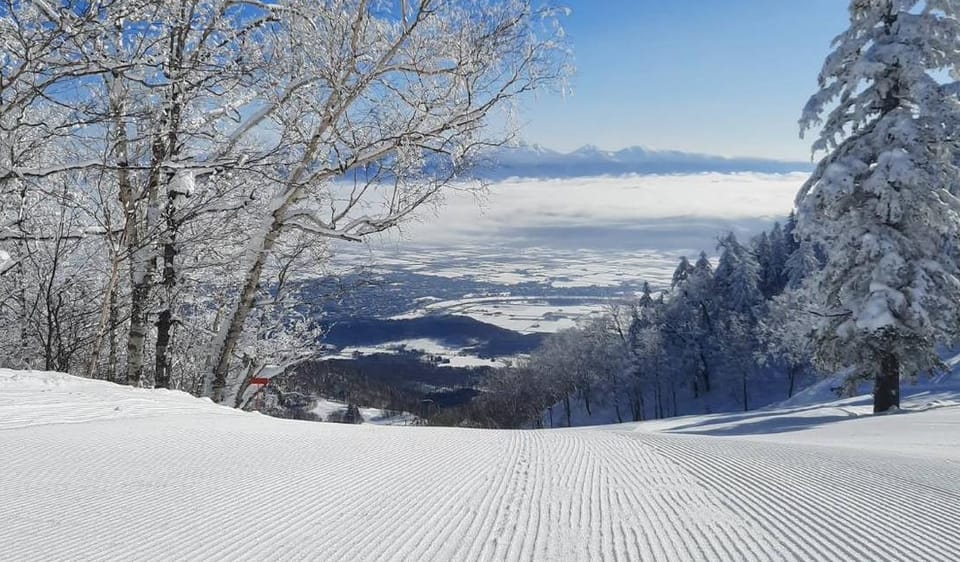
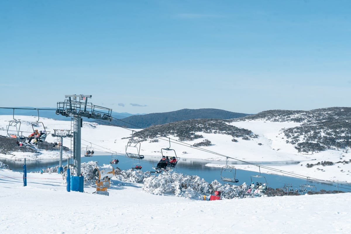
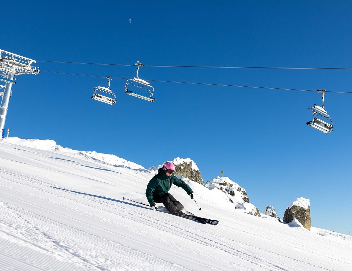
AUSTRALIA REPORT
It has been another great seven days on Australian ski slopes, with more snowfall last week and over the last few days bolstering bases. This has allowed more resorts to open additional terrain, with a growing number nearing the magic metre (40") base depth and edging closer to 100% operations (Falls Creek 62/95cm / 25/38" is already there). Temperatures have been yo-yoing between very low overnights—as far down as -10°C—and similar plus numbers at base levels in the afternoons. Snowfall has now returned and is falling again as we publish this week's report. Perisher (60/80cm / 24/32") has the most terrain open, about 50km (31 miles) of runs, representing 75% of its terrain, and says conditions there are exceptionally good. Thredbo (54/101cm / 22/40") continues to report the country's deepest base, with about 70% of its terrain open. Mt Hotham (54/90cm / 22/36") has a similar proportion of its terrain open. Mt Buller (40/90cm / 16/36") reports its Shakey Knees lift and associated terrain opened for the first time this season at the weekend. The only downside over the past few days has been some very strong winds, which have closed lifts at times.
AUSTRALIA FORECAST
Low temperatures and more snowfall—though lighter—are expected over the next 24 hours, with lows down to -8°C and highs barely getting above freezing. Then a day or two of sunshine is expected to end the week before the next front moves in at the weekend, potentially bringing further significant snowfalls.
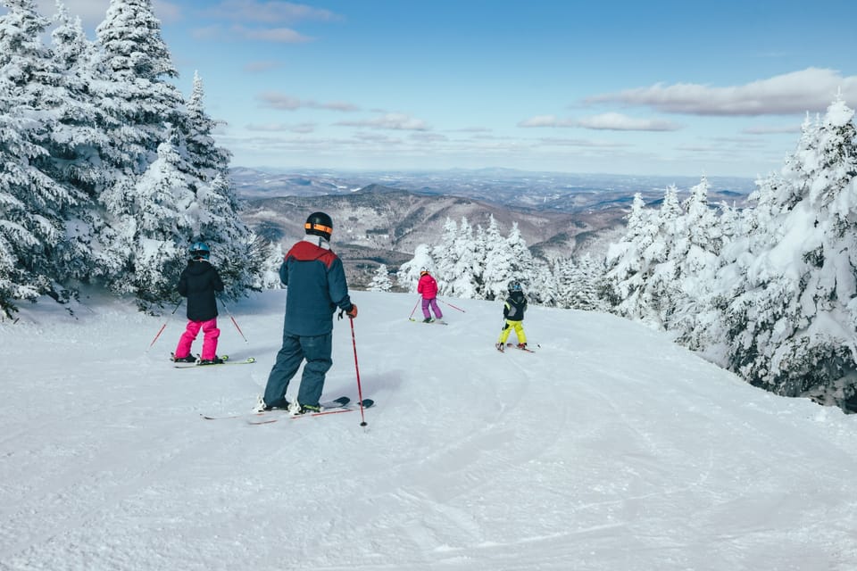
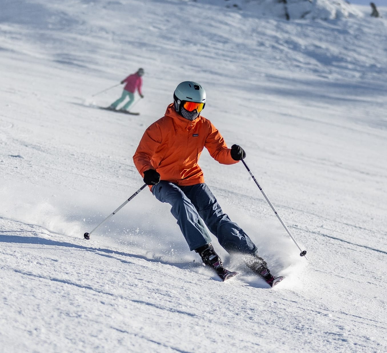
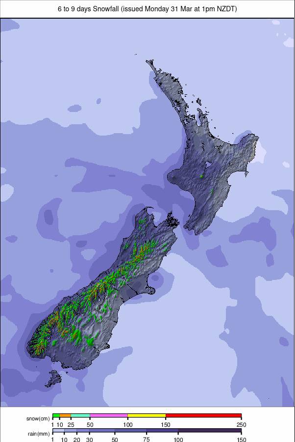
NEW ZEALAND REPORT
After a snowy weekend, New Zealand's ski fields have largely basked in clear skies and sunshine since Monday, with temperatures ranging between -2°C and +8°C throughout each 24-hour cycle. The snowfall late last week brought a much-needed uplift for some club fields—though not all were able to capitalise. Manganui Ski Area, operated by Stratford Mountain Club, reopened for the weekend following the snowfall but said by Monday it needed a fresh fall to continue. Others, like Broken River, reported fresh cover but remained closed, awaiting deeper accumulation. “Keep up the snow dancing, and we look forward to seeing you all soon!” a spokesperson said. Temple Basin and Mt Lyford are also currently closed. On the North Island, Mt Ruapehu’s commercial ski areas—Turoa (37/40cm / 15/16”) and Whakapapa (30/36cm / 12/14”)—made modest progress after a slow start to the season due to thin snow. Terrain available remains very limited, but both were able to expand their offerings slightly, and skiers and riders have made the most of what's there. Turoa opened its Mövenpick, Giant, Parklane and Alpine Meadow terrain at the weekend but needs more snow to get its High Noon area going. In contrast, most of the South Island is enjoying strong midwinter conditions. Most ski areas are operating at 80–95% capacity, led by Mt Hutt (105/155cm / 42/62"), where snow depths are currently the deepest recorded across the Southern Hemisphere. Coronet Peak (15/70cm / 6/28") reports 80% of its slopes open, Cardrona (45/80cm / 18/32") is 84% open, and The Remarkables (30/90cm / 12/36") is 90% open.
NEW ZEALAND FORECAST
Looking ahead, it appears it will remain sunny for the next few days before another round of snowfall over the coming weekend, which could offer a further boost to terrain access—particularly for those still waiting to open or reopen.
ARGENTINA REPORT
After a long dry period for much of Argentina, there have been more unsettled conditions over the past week, with periods of moderate to heavy snowfall reported—accumulations of up to 30cm (a foot) in 24 hours. It's not been relentless snowfall, however, more like fronts moving across, with dry sunny spells in between. Temperatures have also climbed up towards the high single digits during the day, while still dropping as low as -10°C overnight. Although terrain reported open remains limited at the country’s biggest resorts—like Catedral (10/60cm / 4/24”), still only about 10% open, and Las Leñas (40/70cm / 16/28"), at 40%—things are gradually moving in the right direction. Southerly Cerro Castor (60/80cm / 24/32"), down in Tierra del Fuego province, continues to report the most terrain open in terms of percentage, at 65%, after consistently cold and snowy weather down there.
ARGENTINA FORECAST
Some very cold weather is moving north through Argentina over the remainder of this week, bringing lows in the -10°C to -20°C range, and daytime highs still a degree or two below freezing. There is also hope for some transformative snowfalls—30–60cm (1–2 feet) over the next 48 hours—which would greatly improve conditions and allow more terrain to open.
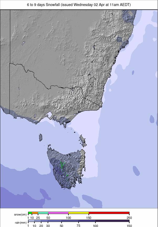
CHILE REPORT
Chile has experienced a mixed bag of sunshine and cloud this past week, with snowfall sharply divided by latitude. Southern resorts saw over half a metre of fresh snow—Nevados de Chillán (50/120cm / 20/48”) doing particularly well again—while those further north received only scattered centimetres. Despite the contrast, major destinations like Portillo (30/125cm / 12/50”), La Parva (35/125cm / 14/50"), and Valle Nevado (30/90cm / 12/36”) are operating close to full capacity—outperforming many global ski areas at present. Smaller centres such as Corralco (40/70cm / 16/28”) and Antillanca (5/60cm / 2/24”) are more limited, opening 40–60% of their terrain. Overnight temperatures have plunged to –10°C and could drop further, with base-level daytime highs hovering just above freezing on higher slopes, touching +6°C at base levels.
CHILE FORECAST
It’s looking good for a snowy few days ahead on Chilean slopes, with temperatures down below -10°C overnight and not getting much above freezing during the day. Up to 60cm (24”) could fall by Friday, with snowfall heaviest in the south. The weekend is expected to remain unsettled, with a mixture of sunshine and lighter snow showers.
LESOTHO REPORT
There’s been some light natural snowfall along with rain showers at Lesotho’s Afriski (15/30cm / 6/12”), Southern Africa’s only operational ski area, which plans to officially celebrate its 25th birthday this coming weekend. Much of the last seven days have been dry and sunny as usual, with temperatures mostly in the -5°C to +5°C range—sometimes a little warmer in the afternoons. This week marks the midway point of the 2025 season, and the centre reports its main run fully complete from top to bottom.
LESOTHO FORECAST
It’s looking the most unsettled it has been all season, with light snowfall expected almost daily through the remainder of this week and into the weekend. Temperatures will remain in the -5°C to +5°C range, with sunshine between the showers.