Southern Hemisphere Weekly Snow Roundup #328
Weekly Snow News for Southern Hemisphere, updated 20 August 2026: Argentina and Chile boast the world’s deepest snow, while New Zealand reaches near-total operations and Perisher approaches 1m (39") of base.
- Australia: Perisher is nearly 80% open, while smaller resorts are beginning to close.
- New Zealand: South Island resorts are almost fully open, with more snow forecast.
- Argentina: Conditions are world-class, with 60–90% of terrain open and Las Leñas’ Marte lift operating.
- Chile & Africa: Chile remains in excellent shape, while Afriski heads into its final weekend of the season.
SOUTHERN HEMISPHERE INTRODUCTION
Conditions are the best they've been all winter across most Southern Hemisphere ski areas, although the end of August also marks the approaching season's end for some. In Australia, conditions vary from strong mid-season cover at higher, larger areas to thin, early-closing snow at lower hills. New Zealand continues its excellent run, with widespread openings, firm bases and regular top-ups, with the South Island almost fully open despite occasional North Island storm disruptions. In South America, Argentina has some of the world's best mid-winter conditions, with deep snow, extensive terrain and 60-90% of most centres open, while Chile has enjoyed repeated snow cycles and deep cover. In Africa, Lesotho's short season is winding down in mostly dry, sunny weather, with thawing temperatures limiting terrain as Afriski's Winterfest finale approaches.
AUSTRALIA REPORT
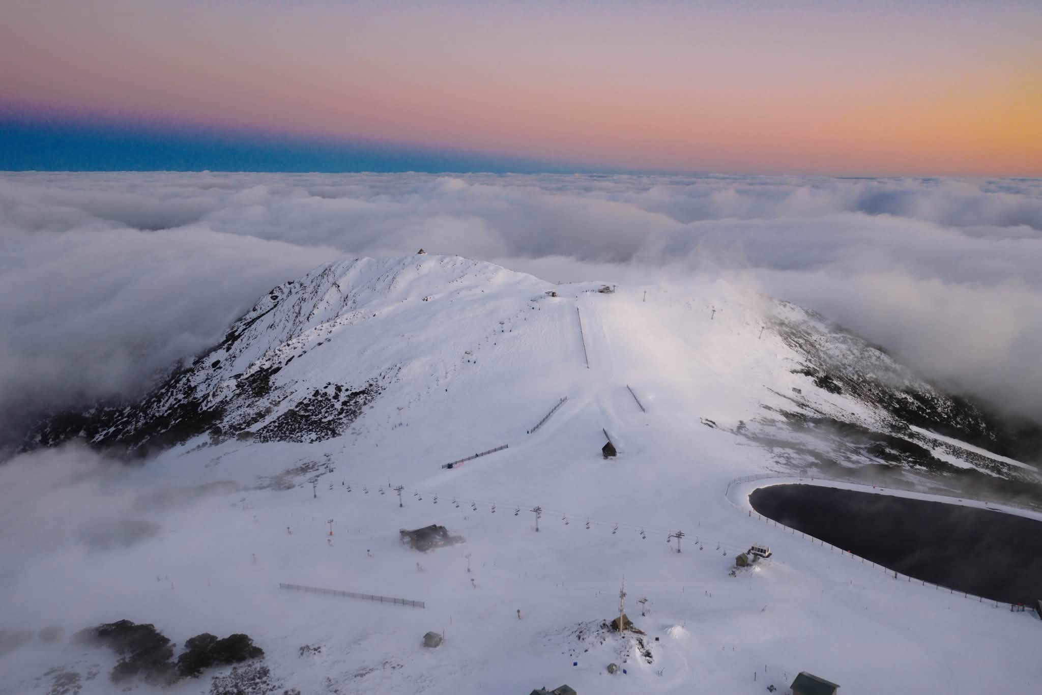
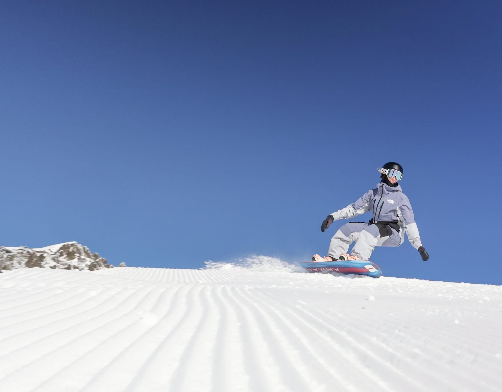
A mixed week on Aussie slopes brought blue-sky days and some fresh snow, but also murkier conditions with sleet and rain. It's a tale of two seasons, with Perisher (56/98cm / 23/39"), the country's largest, now close to the 1m upper-base mark, with nearly 80% of its slopes open – the most skiable terrain of any ski area in the world. Meanwhile, lower-lying Mt Baw Baw is closing this weekend until next year. Conditions are OK at most other larger resorts, particularly Thredbo (38/94cm / 15/37") and Falls Creek (45/52cm / 18/21"), both about two-thirds open, while Mt Buller (38/75cm / 15/30") is struggling with less than 20% open.
AUSTRALIA FORECAST
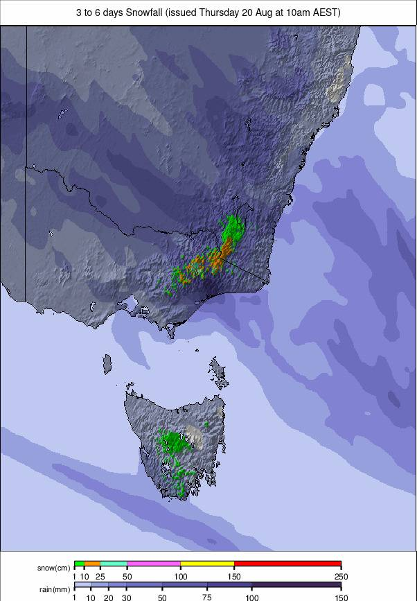
Mostly sunny spells will dominate across Australian resorts in the coming days, with mild afternoons and cold nights mostly preserving existing cover. Temperatures will generally sit just above freezing by day and fall well below it overnight, allowing limited snowmaking. Patchy rain or sleet is possible at times, especially ahead of midweek, when a colder change may bring light snow to mid and upper elevations. Any accumulations look modest, but higher slopes could see brief freshening as fronts strengthen next week.
NEW ZEALAND REPORT
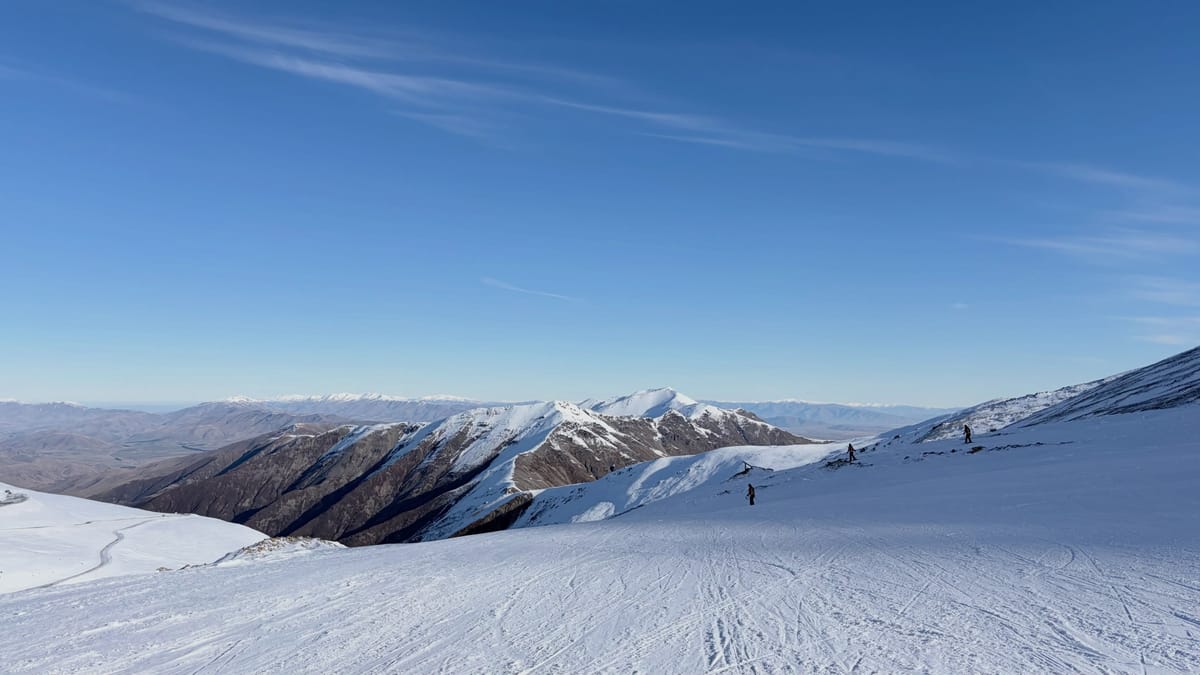
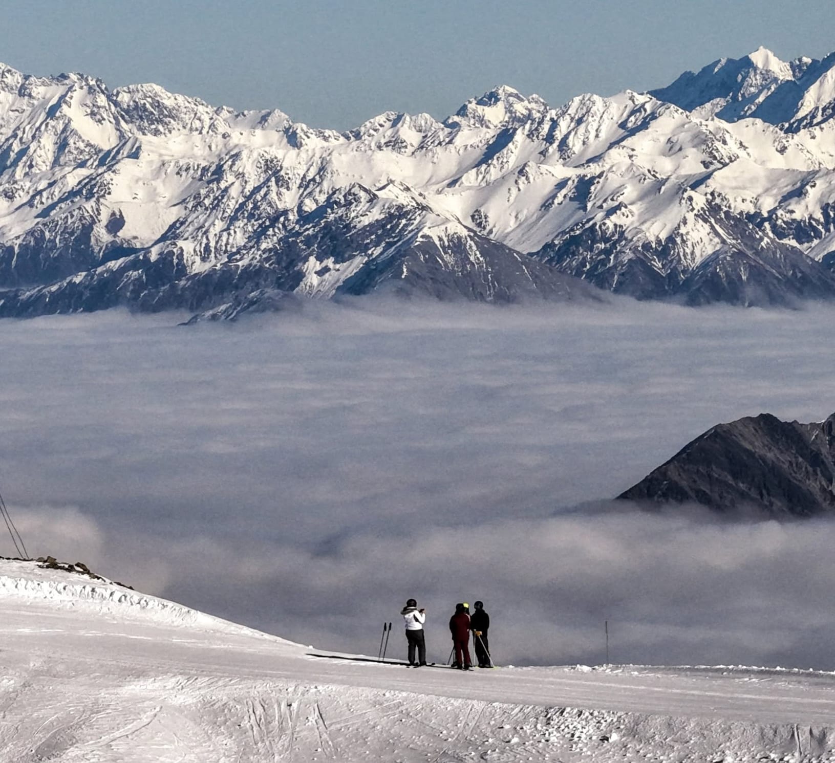
It has been another mostly great week on New Zealand's ski slopes, with some fresh snowfall reported, low overnight temperatures and plenty of blue-sky days in the mix. Most South Island ski areas are now fully open, so almost every run there is skiable – something no other ski nation can currently claim. Cardrona (45/55cm / 18/22") has the most terrain in the country and, as it's fully open, also has the most skiable terrain – 45km (28 miles) of lift-served runs, putting it among the top three in the world. Mt Hutt (120/180cm / 48/72") is reporting the country's deepest cover and is also 100% open. Stormy weather hit the North Island midweek, with Tūroa Ski Area (90/102cm / 36/41") closed on Wednesday while it blew through, before reopening later with fresh powder.
NEW ZEALAND FORECAST
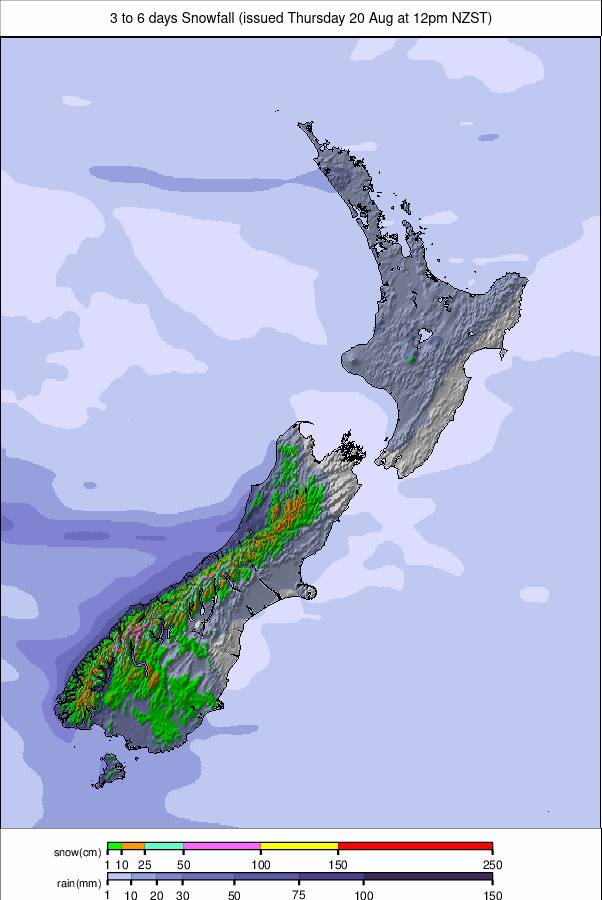
New Zealand's ski fields will move through a mostly settled stretch over the next few days before a colder, more active weekend, with fresh snowfall forecast for most areas. Clear periods and light winds will dominate in the short term, with freezing nights falling as low as -5 to -9°C, hopefully keeping surfaces firm, while temperatures lift just above freezing by day. A notable change arrives on Saturday as a stronger front sweeps across both islands, delivering widespread snowfall from Saturday into Sunday. Falls look meaningful at mid and upper elevations, with lighter accumulations possible lower down.
ARGENTINA REPORT
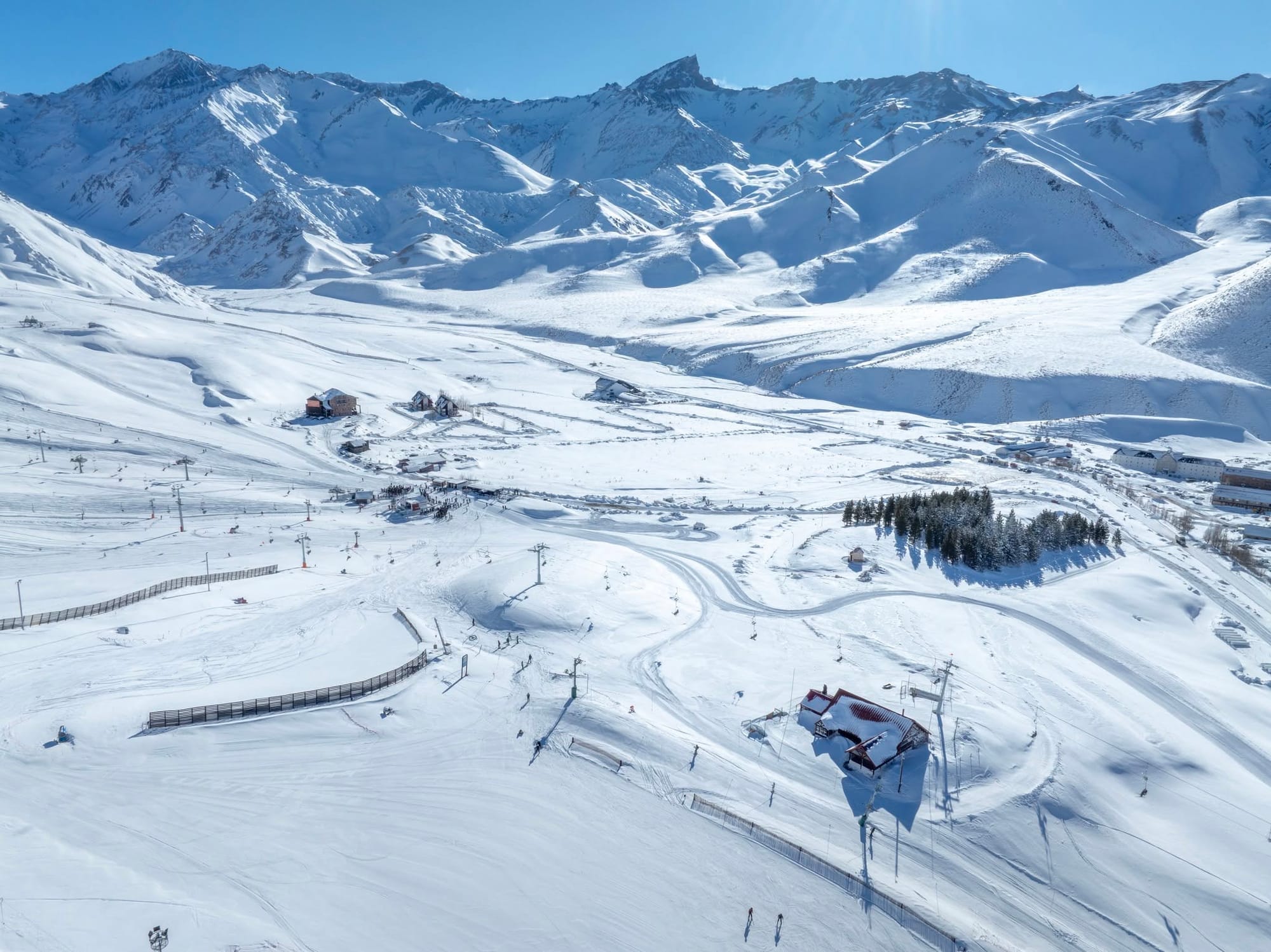
Conditions in the Andes are currently among the best in the world, with the deepest cover, highest percentage of terrain open and most fresh snowfall again this week. The legendary Marte chairlift at Las Leñas (120/300cm / 48/120") opened for the season following the huge snowfalls there, opening access to the resort's most exciting terrain. The centre's slopes are now 85% open, with the deepest base in the country and second deepest in the world. Elsewhere, conditions across Argentina's ski slopes are now the best they've been all season, with centres typically reporting 60-90% of their slopes open. The country's largest area, Cerro Catedral (60/70cm / 24/28"), is now up to 80% open after reporting only a small part of its domain skiable during the first half of the season.
ARGENTINA FORECAST
Argentina's ski areas face a changeable week, with a mix of sunshine, cloud and intermittent snowfall. Light snow showers are expected at times in the central and southern Andes, especially around Catedral, Chapelco and Cerro Castor, where colder air supports minor accumulations. Northern resorts will stay mostly dry with brighter spells, though occasional flurries can't be ruled out. Temperatures remain seasonally cold, helping preserve the existing base, but significant new snow looks limited. Overall, it's a mixed pattern, with some fresh top-ups in the south, variable skies elsewhere and generally stable conditions between passing fronts. Temperatures will range from around -5°C up high overnight to +10°C on lower slopes some afternoons.
CHILE REPORT
It has been another snowy week in Chile, with Valle Nevado reporting 87cm (34.3in) since last Thursday. Sunny spells between fronts have delivered some beautiful blue-sky powder days. Corralco (135/320cm / 44/128") has overtaken Portillo to record Chile's deepest base and currently the world's deepest. Portillo (175/285cm / 70/114") has dropped to third worldwide after losing nearly six weeks of its season to too much or too little snowfall, but has extended its season to mid-October from the previously planned end of September.
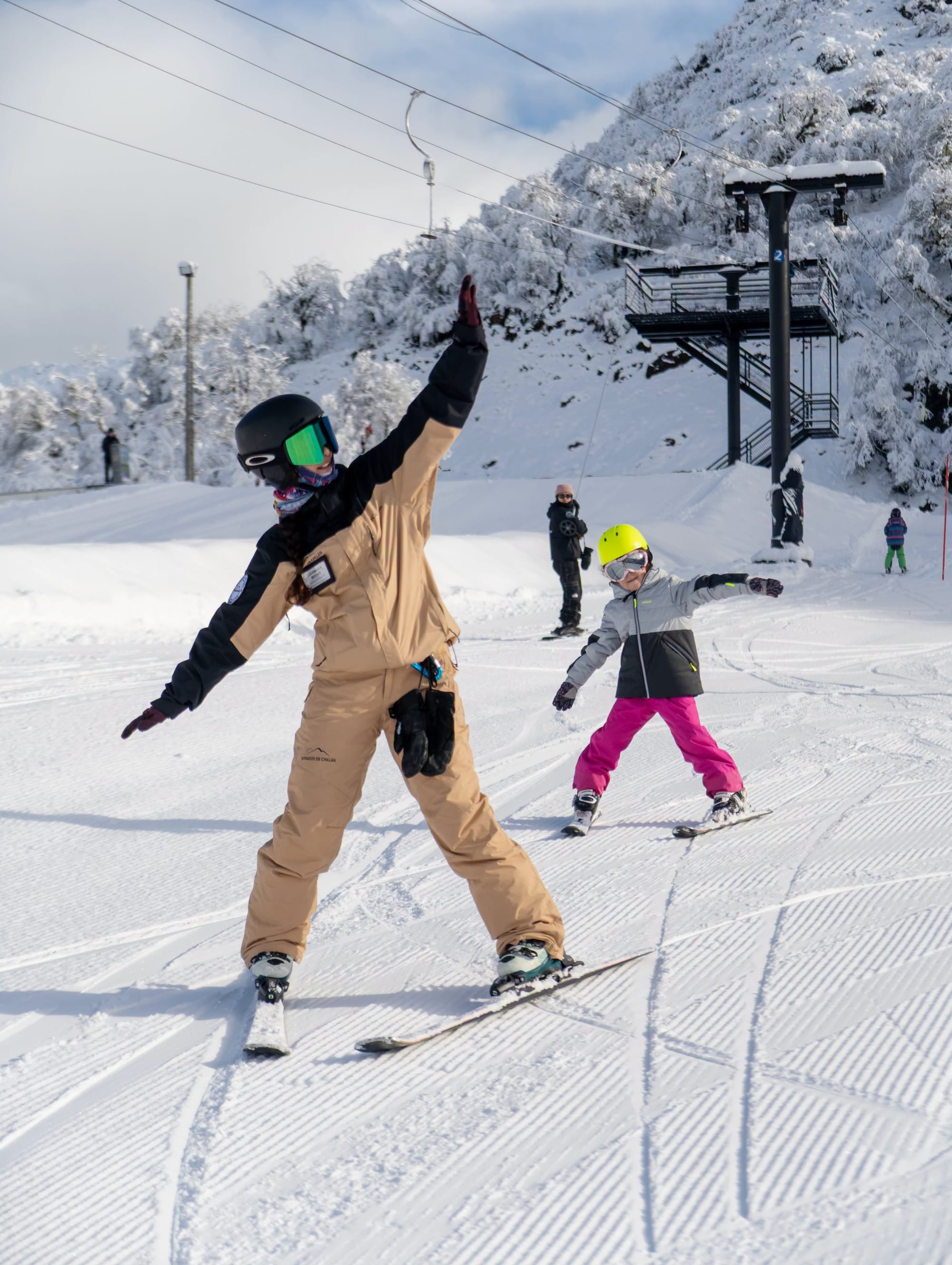
Skiers also report that, after nearly four weeks closed, access to Portillo by road on the Chilean side has resumed, although its website still says the road is closed. El Colorado/Farellones (50/100cm / 20/40") has the most terrain open in Chile and South America, with 91% of its slopes open, or around 45.5km – just less than Perisher in Australia, currently the most in the world. Its link to Valle Nevado makes the total open area even larger. Meanwhile, Antillanca opened a rare new T-bar, "Don Jordi", expanding its skiable terrain.
CHILE FORECAST
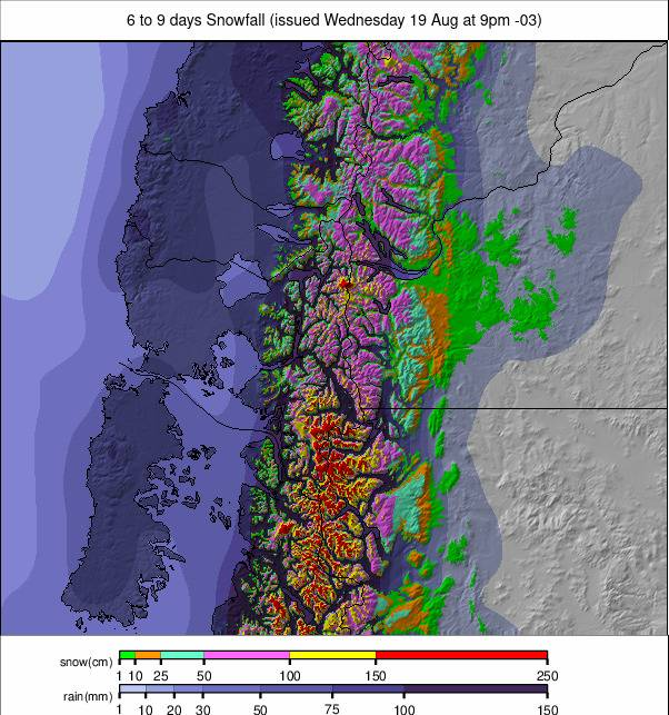
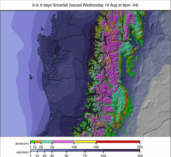
Sunny spells will dominate Chile this week, with mostly clear, dry conditions across the central and northern Andes. Portillo to Valle Nevado will remain under high pressure, bringing cold nights and bright, stable days. Southern areas may see some cloud but little or no snow. The snowpack will stay firm in the shade and soften slightly each afternoon, with temperatures a little warmer but still well below freezing overnight. Overall, expect settled conditions, good visibility and fast groomers, with no fresh snow likely until at least mid-next week.
SOUTHERN AFRICA REPORT
It's believed to be the final weekend of the 2026 ski season coming up at Lesotho's Afriski (10/15cm / 4/6"). The centre has been heavily promoting its annual season-closing Winterfest, which mixes snow sports fun with live music events this weekend. After a mostly dry and sunny season, Afriski posted images and video of some fresh snowfall earlier this week. Otherwise, it has been predominantly the usual sunny weather for the final week of 2026, with temperatures now rarely dropping below freezing overnight, while daytime highs are reaching double figures above freezing, so the thaw is definitely getting underway.

SOUTHERN AFRICA FORECAST
Afriski should stay in a fairly cold, mostly settled pattern through Sunday and the end of the season, with clear spells, occasional cloud and only brief chances of light flurries on the upper slopes. Nights will remain close to freezing, which should slow the thaw, while daytime temperatures climb to around +10°C. Winds should ease after a breezier spell mid-period, leaving generally calm conditions into the weekend.